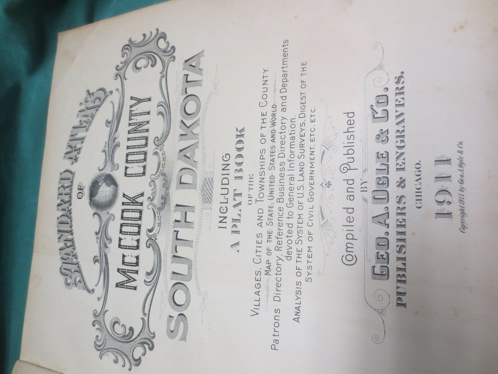
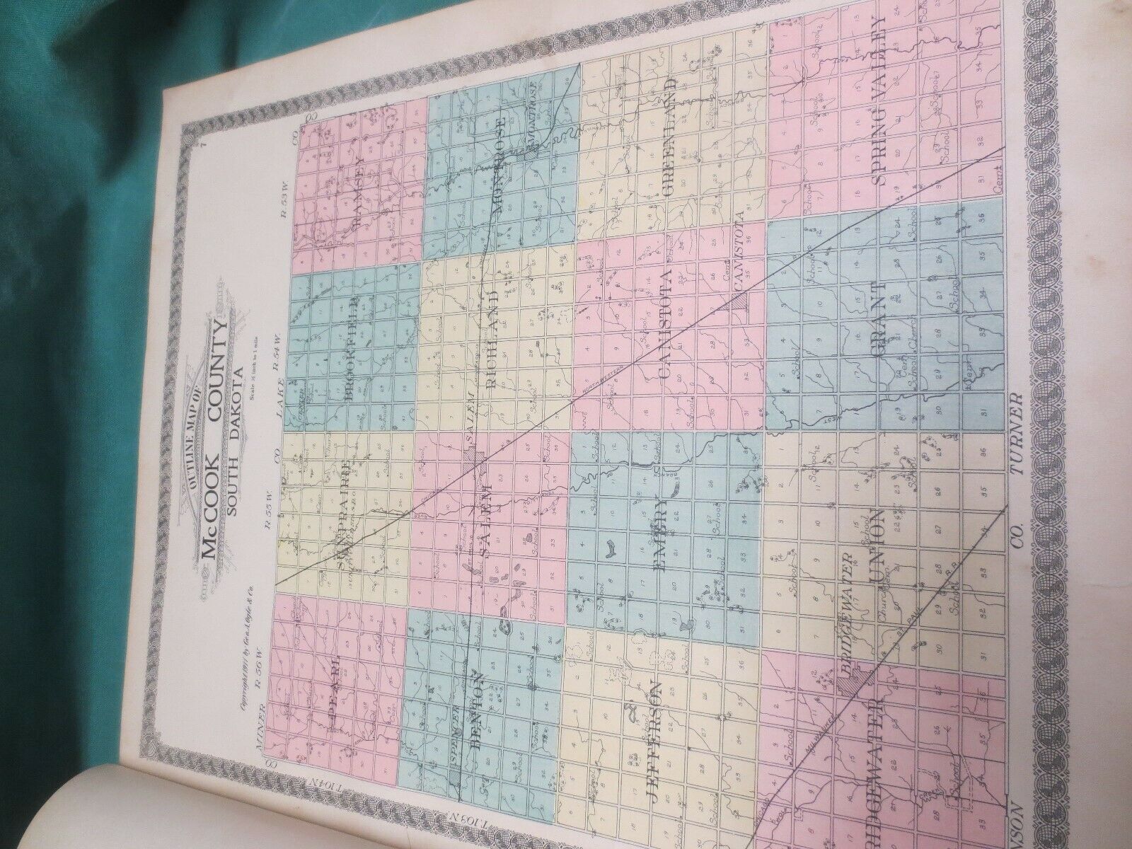
Antique 1911 Standard Atlas Mccook County South Dakota Plat Book


Item History & Price

Information:
Reference Number: Avaluer:18774209Original/Reproduction: Antique Original
US State: South DakotaFormat: Atlas
Date Range: 1910-1919Type: County Map
Country/Region: United States of AmericaYear: 1911
Original Description:
Well, I was paging thru this, thinking how nice it looked, and then I got to the "Illustrations" and the three pages have been torn out. Other than that this is in pretty good condition. Binding is worn some but solid.


    Similar items


  • Rppc - Commercial State Bank - Salem Sd - Mccook County - South Dakota - Businesses - Wagon

    Rppc - Commercial State Bank - Salem Sd - Mccook County - South Dakota - Businesses - Wagon

  • Rppc - Main Street - Canistota Sd - Mccook County - South Dakota - Real Photo - Businesses

    Rppc - Main Street - Canistota Sd - Mccook County - South Dakota - Real Photo - Businesses

  • Antique 1922 Standard Atlas Marshall County Indiana

    Antique 1922 Standard Atlas Marshall County Indiana

  • Farm House Barn & Windmill Salem Sd Photo Rppc Mccook County South Dakota 1914

    Farm House Barn & Windmill Salem Sd Photo Rppc Mccook County South Dakota 1914

  • 1929 Rppc Canistota,  Sd Ortman Chiropractic Clinic Mccook County South Dakota

    1929 Rppc Canistota, Sd Ortman Chiropractic Clinic Mccook County South Dakota

  • 1909 Standard Atlas Plat Book Moody County South Dakota Sd Ogle Illustrations

    1909 Standard Atlas Plat Book Moody County South Dakota Sd Ogle Illustrations

  • 1893 Atlas Map Plat Turner County South Dakota Rowley & Peterson Antique Vtg.

    1893 Atlas Map Plat Turner County South Dakota Rowley & Peterson Antique Vtg.

  • Clark County South Dakota 1911 Atlas Maps Genealogy History 1st Ed Vintage

    Clark County South Dakota 1911 Atlas Maps Genealogy History 1st Ed Vintage


    • You might also like


    • 1860 Mitchell Hand Colored Map Colorado,  Nebraska & Kansas - Civil War Era

      1860 Mitchell Hand Colored Map Colorado, Nebraska & Kansas - Civil War Era

    • 18th Century French Map Of North America

      18th Century French Map Of North America

    • Las Vegas Nevada Vintage 1967 Us Geological Survey Quadrangle Map 4 Panels

      Las Vegas Nevada Vintage 1967 Us Geological Survey Quadrangle Map 4 Panels

    • Rare Antique 1845 Maps United States Exploring Expedition Book Antartica Hawaii

      Rare Antique 1845 Maps United States Exploring Expedition Book Antartica Hawaii

    • Vintage 1926 Map Hollywood From The Best Surveys Of The Time

      Vintage 1926 Map Hollywood From The Best Surveys Of The Time

    • American Continent (western Hemisphere) 1747 Bowen Antique Copper Engraved Map

      American Continent (western Hemisphere) 1747 Bowen Antique Copper Engraved Map

    • Gulf Coast Florida Texas United States 1705 De Fer Unusual Antique Engraved Map

      Gulf Coast Florida Texas United States 1705 De Fer Unusual Antique Engraved Map

    • California As Island United States 1700 De Fer Unusual First Edition Antique Map

      California As Island United States 1700 De Fer Unusual First Edition Antique Map

Avaluer          About Us          Privacy Policy          Contact Us          UP
© 2022, avaluer.net, Inc. or its affiliates