1889 Engraved Antique Map Of Wash. , DC Or Cincinnati/The People ' S Pub. Co.


Item History & Price

Information:
Reference Number: Avaluer:20008224
Original Description:
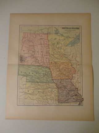
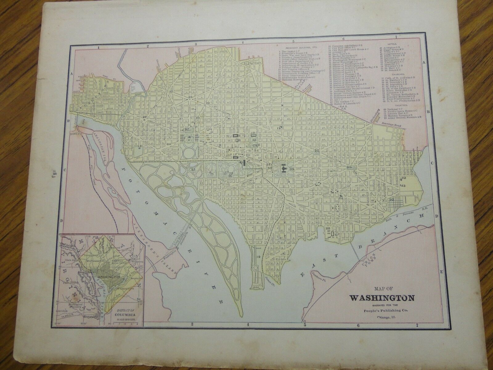
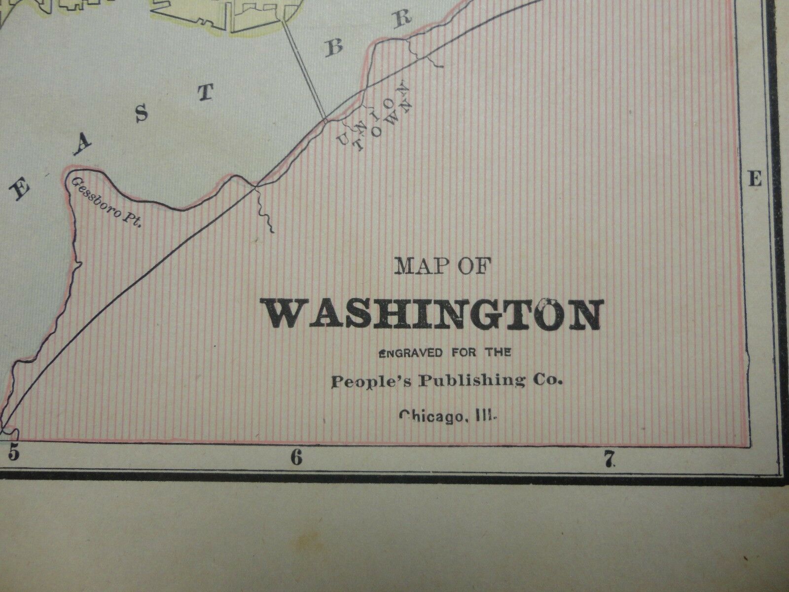
Up for sale is an Engraved antique colored map of Washington, D.C. or Cincinnati from 1889.  Engraved for the People's Publishing Co., Chicago, Illinois. 
It measures approximately 11 x 14 (including the border areas).   On one side is a map of Washington, D.C.   On the other side is a map of Cincinnati.
Will look very nice framed. 
Map is in generally goodcondition with most issues at the border areas where there are some chips and acouple of small ri...ps that reach from the edge into the border area.  Some other smallerdiscolorations / expected light browning, but it does not affect the map.
This map has some more severe staining and tears around all four borders.
Please see my store for other great items. 
Inventory R-14

00216


    Similar items


  • 1776 Ireland - Engraved Antique Map Of County Of Carlow With Colour

    1776 Ireland - Engraved Antique Map Of County Of Carlow With Colour

  • 1776 Ireland - Engraved Antique Map Of County Of Cork With Colour

    1776 Ireland - Engraved Antique Map Of County Of Cork With Colour

  • Steel Engraved Antique Map Of Canton River (hong Kong),  1845

    Steel Engraved Antique Map Of Canton River (hong Kong), 1845

  • Engraved Antique Map Of The Central States (west.  Part) /1883 By Charles M.  Green

    Engraved Antique Map Of The Central States (west. Part) /1883 By Charles M. Green

  • 1810 Hand - Colored,  Steel - Engraved Antique Map Of Ireland Barclay

    1810 Hand - Colored, Steel - Engraved Antique Map Of Ireland Barclay ' S Dict

  • Antique Map Of Surrey C1695 By Robert Morden Engraved,  Hand Colour

    Antique Map Of Surrey C1695 By Robert Morden Engraved, Hand Colour

  • Map Of The Thirteen Colonies By Matthieu Albert Lotter Circa 1776 Engraving

    Map Of The Thirteen Colonies By Matthieu Albert Lotter Circa 1776 Engraving

  • Rome - Birdseye View - Large Panorama Of Entire City - 1859 Engraving

    Rome - Birdseye View - Large Panorama Of Entire City - 1859 Engraving


    • You might also like


    • 1860 Mitchell Hand Colored Map Colorado,  Nebraska & Kansas - Civil War Era

      1860 Mitchell Hand Colored Map Colorado, Nebraska & Kansas - Civil War Era

    • 18th Century French Map Of North America

      18th Century French Map Of North America

    • Las Vegas Nevada Vintage 1967 Us Geological Survey Quadrangle Map 4 Panels

      Las Vegas Nevada Vintage 1967 Us Geological Survey Quadrangle Map 4 Panels

    • Rare Antique 1845 Maps United States Exploring Expedition Book Antartica Hawaii

      Rare Antique 1845 Maps United States Exploring Expedition Book Antartica Hawaii

    • Vintage 1926 Map Hollywood From The Best Surveys Of The Time

      Vintage 1926 Map Hollywood From The Best Surveys Of The Time

    • American Continent (western Hemisphere) 1747 Bowen Antique Copper Engraved Map

      American Continent (western Hemisphere) 1747 Bowen Antique Copper Engraved Map

    • Gulf Coast Florida Texas United States 1705 De Fer Unusual Antique Engraved Map

      Gulf Coast Florida Texas United States 1705 De Fer Unusual Antique Engraved Map

    • California As Island United States 1700 De Fer Unusual First Edition Antique Map

      California As Island United States 1700 De Fer Unusual First Edition Antique Map

Avaluer          About Us          Privacy Policy          Contact Us          UP
© 2022, avaluer.net, Inc. or its affiliates