Complete G. M. Hopkins 1888 Atlas Of The City And Town Of Bridgeport P. T. Barnum


Item History & Price
| Reference Number: Avaluer:23755223 | Format: Atlas |
| Date Range: 1800-1899 | Year: 1888 |
| US State: Connecticut | Type: City Map |
| City: Bridgeport |
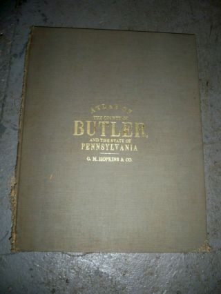
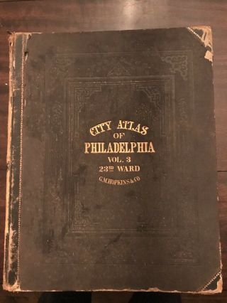
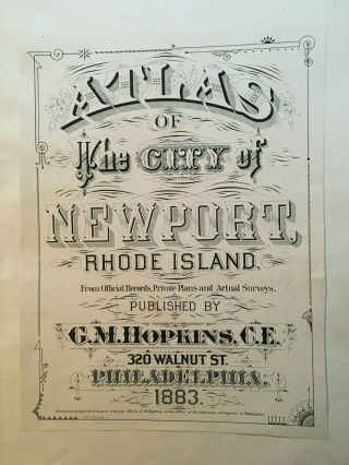
Original G. M. Hopkins 1888 Atlas of the City and Town of BridgeportG. M. Hopkins, Philadelphia, 1888. Publisher’s green cloth with gilt lettering. Blind stamped on rear cover. Lithograph with original hand coloring. Large format elephant folio. Contains a set of 24 detailed maps of the City and Town of Bridgeport, Connecticut. Index map and Business Notice pages in from and rear of the volume.
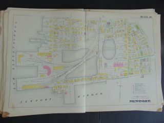
Insurance atlases such as this one contain large scale maps depicting the commer...cial, industrial, and residential sections of towns and cities in the United States. This atlas shows the ownership of land and buildings including schools, churches, banks, government buildings, parks, residential properties and more. Among the many landowners in Bridgeport at this time, P. T. Barnum had significant land holdings which are shown.
The maps were designed to assist fire insurance agents in determining the degree of hazard associated with a particular property and therefore show the size, shape and construction of dwellings, commercial buildings, and factories as well as fire walls locations of windows and doors, sprinkler systems, and types of roofs. The maps also indicate widths and names of streets, property boundaries, building use, and house and block numbers. They show locations of water mains, giving their dimensions, and of fire alarm boxes and hydrants. Insurance maps are an unrivaled source of information about the structure and use of buildings in American cities.
Dimensions:Covers are 22 x 15 inches. Pages are slightly less.
ConditionThe covers are separated from the binding. The spine is still present but barely together. The title page is held together to the front cover with binders tape and has minor losses on the edges. The interior pages are in very good condition. PLEASE SEE PHOTOGRAPHS AS THEY ACCURATELY SHOW THE CONDITION.