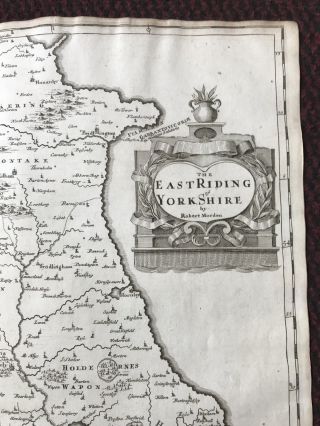
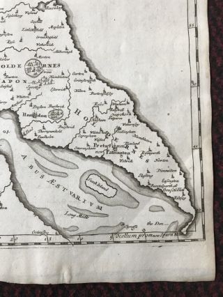
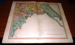
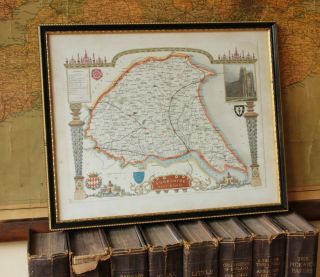
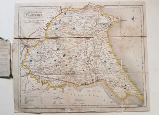
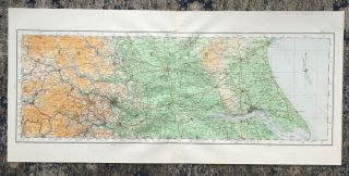
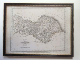
1695 MAP Of EAST RIDING Of YORKSHIRE English Antique Map Robert Morden


Item History & Price

Information:
Reference Number: Avaluer:23756973Year: 1695
Era: 1700sType: Country
Format: Atlas MapDate Range: 1600-1699
County: YorkshireCountry/Region: England
Original Description:
MAP OF THE EAST RIDING OF YORKSHIRE 1695

A fine and rare Copper Engraved original antique Map of the East Riding of Yorkshire with decorative Cartouche. This example is from the very rare Gibson First Edition in 1695, significantly rarer than the 1722 and later editions.

This map comes from ''Camden's Britannia, Newly Translated into English: with large additions and improvements. Translated by Edmund Gibson, 1695.'' This is the first edition of Edmund Gibson's translatio...n, and the first to contain the Morden maps.

This map measures approx 45 x 39cm. A lot of these maps have been later hand-coloured but this one is in its original state.

Very good clean condition. No tearing, staining or damage. Just the light crease down the centre where the map has been folded within the book. Also a softer crease to the bottom right corner. These can both be easily removed by your picture framer.

Will be posted rolled and in a strong cardboard posting tube


    Similar items


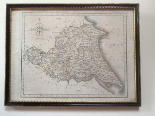
  • County Map Of Yorkshire East Riding 1787 Engraved By John Cary Framed

    County Map Of Yorkshire East Riding 1787 Engraved By John Cary Framed

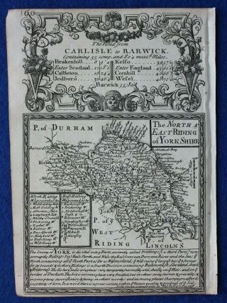
  • Antique County Map,  North & East Ridings Of Yorkshire,  E.  Bowen,  C.  1724

    Antique County Map, North & East Ridings Of Yorkshire, E. Bowen, C. 1724

  • Copper Engraved Map South East Riding Of Yorkshire By Charles Smith 1801

    Copper Engraved Map South East Riding Of Yorkshire By Charles Smith 1801

  • Antique Map Of Yorkshire.  Hull,  Beverley Minster,  East Riding.  Moule C1840

    Antique Map Of Yorkshire. Hull, Beverley Minster, East Riding. Moule C1840

  • 1842 Map Of Yorkshire East Riding Walker

    1842 Map Of Yorkshire East Riding Walker

  • Antique Map Of Yorkshire York Hull Bradford Leeds East Riding Bridlington 1922

    Antique Map Of Yorkshire York Hull Bradford Leeds East Riding Bridlington 1922

  • County Map Of Yorkshire North Riding 1787 Engraved By John Carey Framed

    County Map Of Yorkshire North Riding 1787 Engraved By John Carey Framed


    • You might also like


    • Hungary & Romania 1579 (1584) Ortelius Unusual Antique Copper Engraved Map

      Hungary & Romania 1579 (1584) Ortelius Unusual Antique Copper Engraved Map

    • Brussels Bruxelles Belfium 1777 De Ferraris & Dupuis Large Antique Map Sheet Xxi

      Brussels Bruxelles Belfium 1777 De Ferraris & Dupuis Large Antique Map Sheet Xxi

    • 1616 Atlas Map Of Iceland.

      1616 Atlas Map Of Iceland.

    • Kazan Russia 1767 Le Clerc/lespinasse Antique Copper Engraved City View

      Kazan Russia 1767 Le Clerc/lespinasse Antique Copper Engraved City View

    • 1899 Stanford,  Folding Map Of Norwich,  Norfolk,  Arthur Collins,  Jarrold & Sons,

      1899 Stanford, Folding Map Of Norwich, Norfolk, Arthur Collins, Jarrold & Sons,

    • 1948 Vintage Linen Colour Map Geological Survey Ten Mile Of Great Britain

      1948 Vintage Linen Colour Map Geological Survey Ten Mile Of Great Britain

    • 1944 Map Flying Bombs Sussex Ww2 Newspaper Military Kent Courier German V1 V2

      1944 Map Flying Bombs Sussex Ww2 Newspaper Military Kent Courier German V1 V2

    • Dated 1638 Vellum Map Of Icklesham Sussex Showing Land Uses Owners Etc

      Dated 1638 Vellum Map Of Icklesham Sussex Showing Land Uses Owners Etc

Avaluer          About Us          Privacy Policy          Contact Us          UP
© 2022, avaluer.net, Inc. or its affiliates