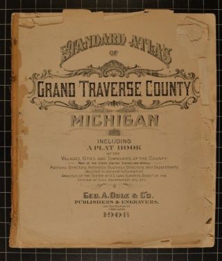
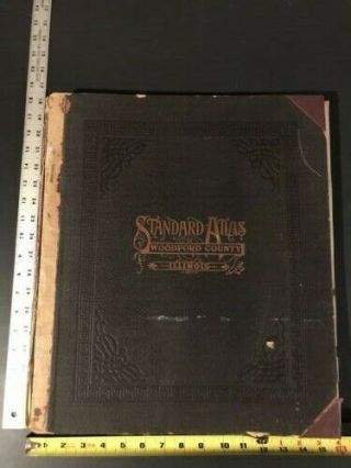
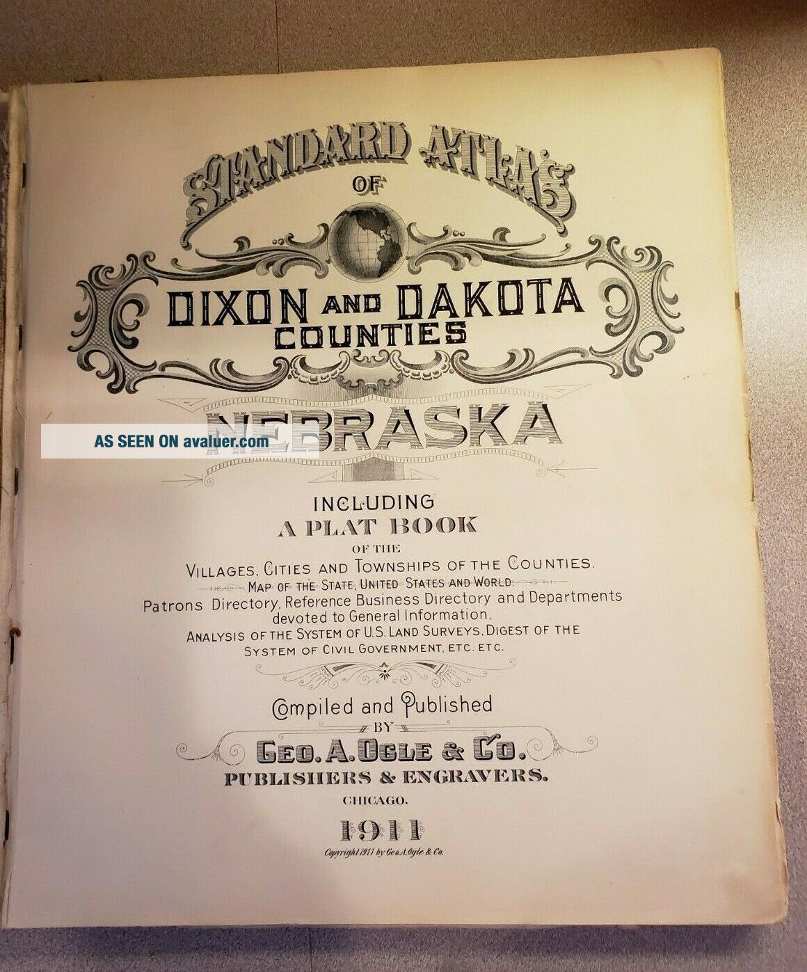
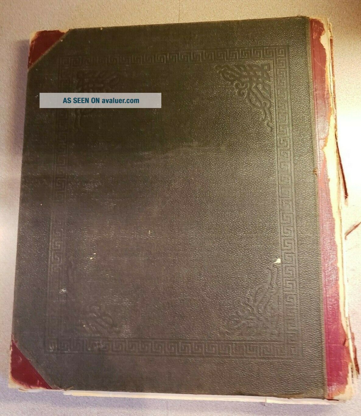
Standard Atlas Of Dixon & Dakota Counties Nebraska. 1911. 140 Pgs Complete 3 Maps


Item History & Price
| Reference Number: Avaluer:27539 |
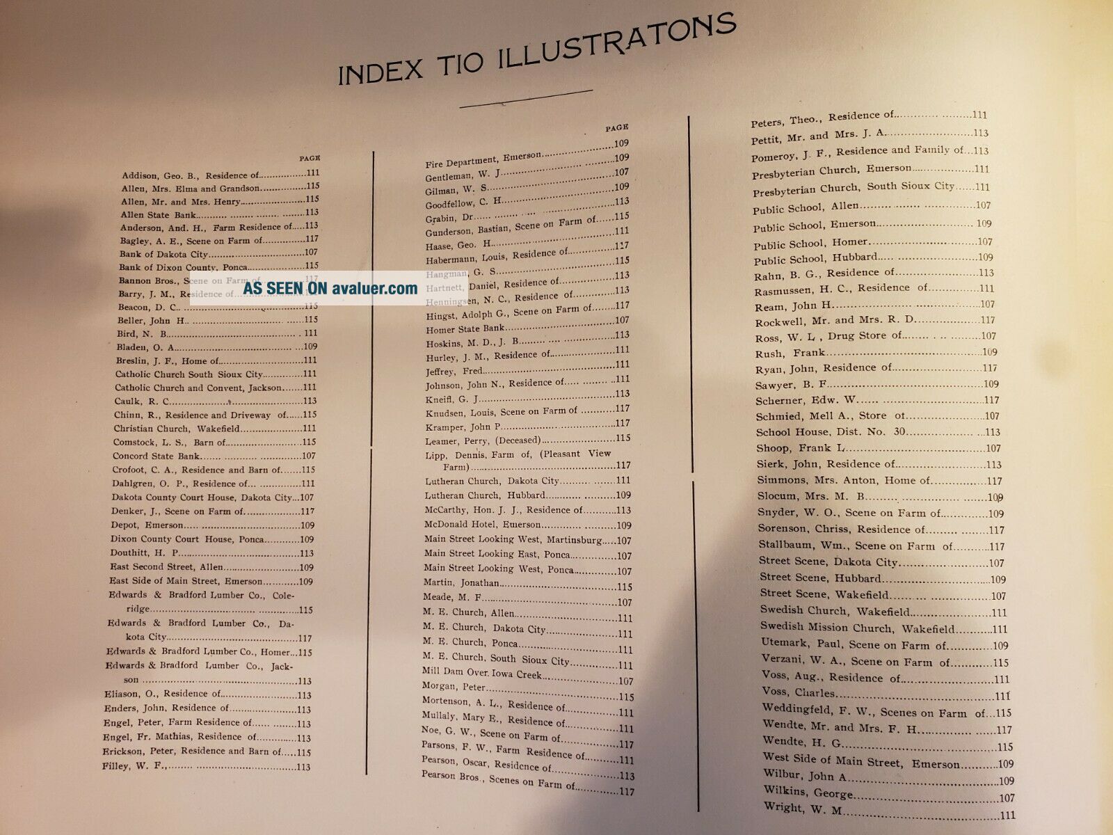
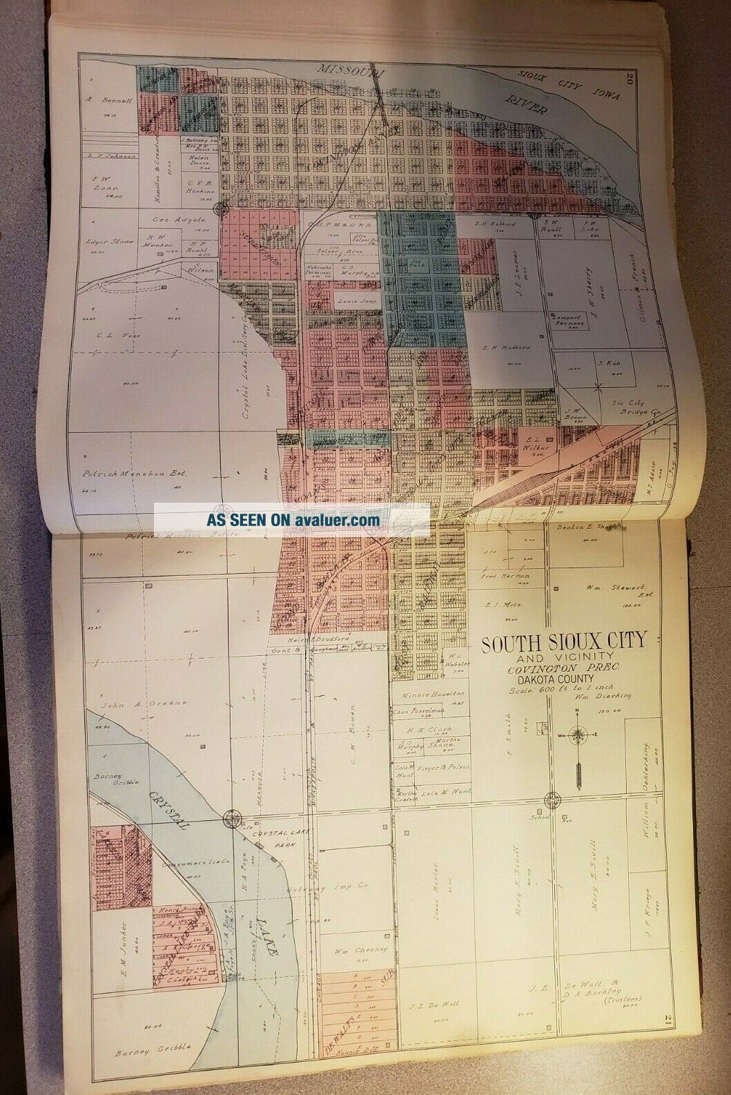
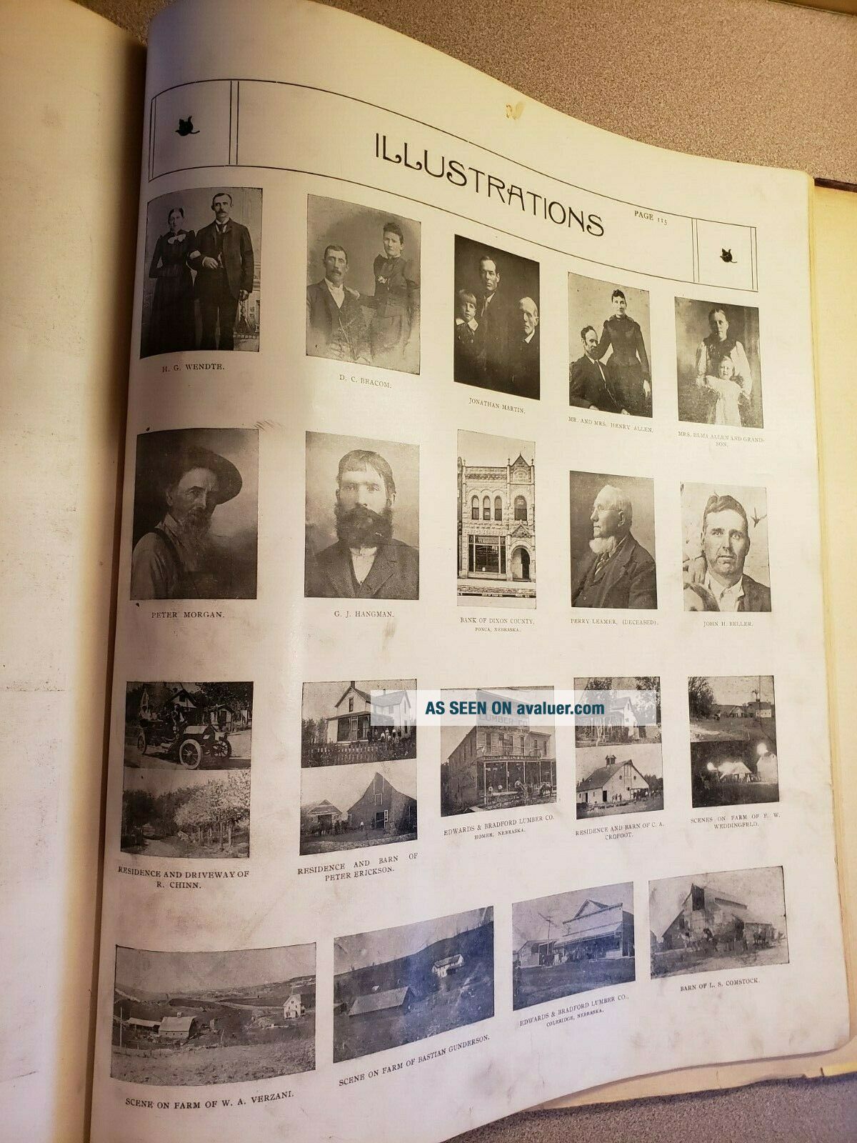
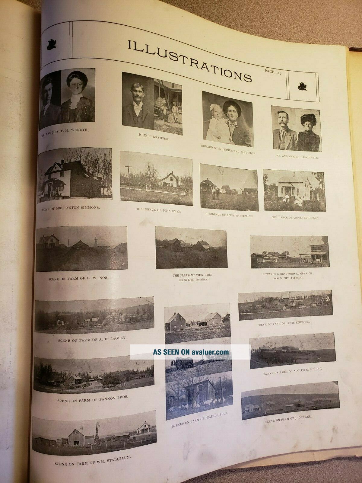
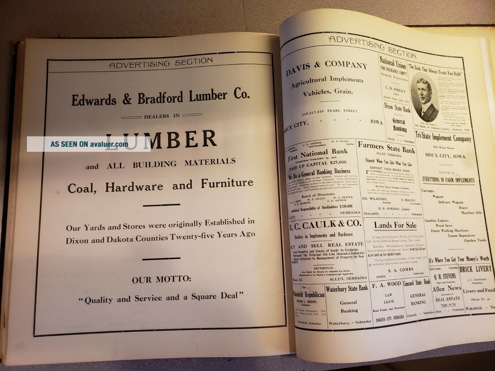
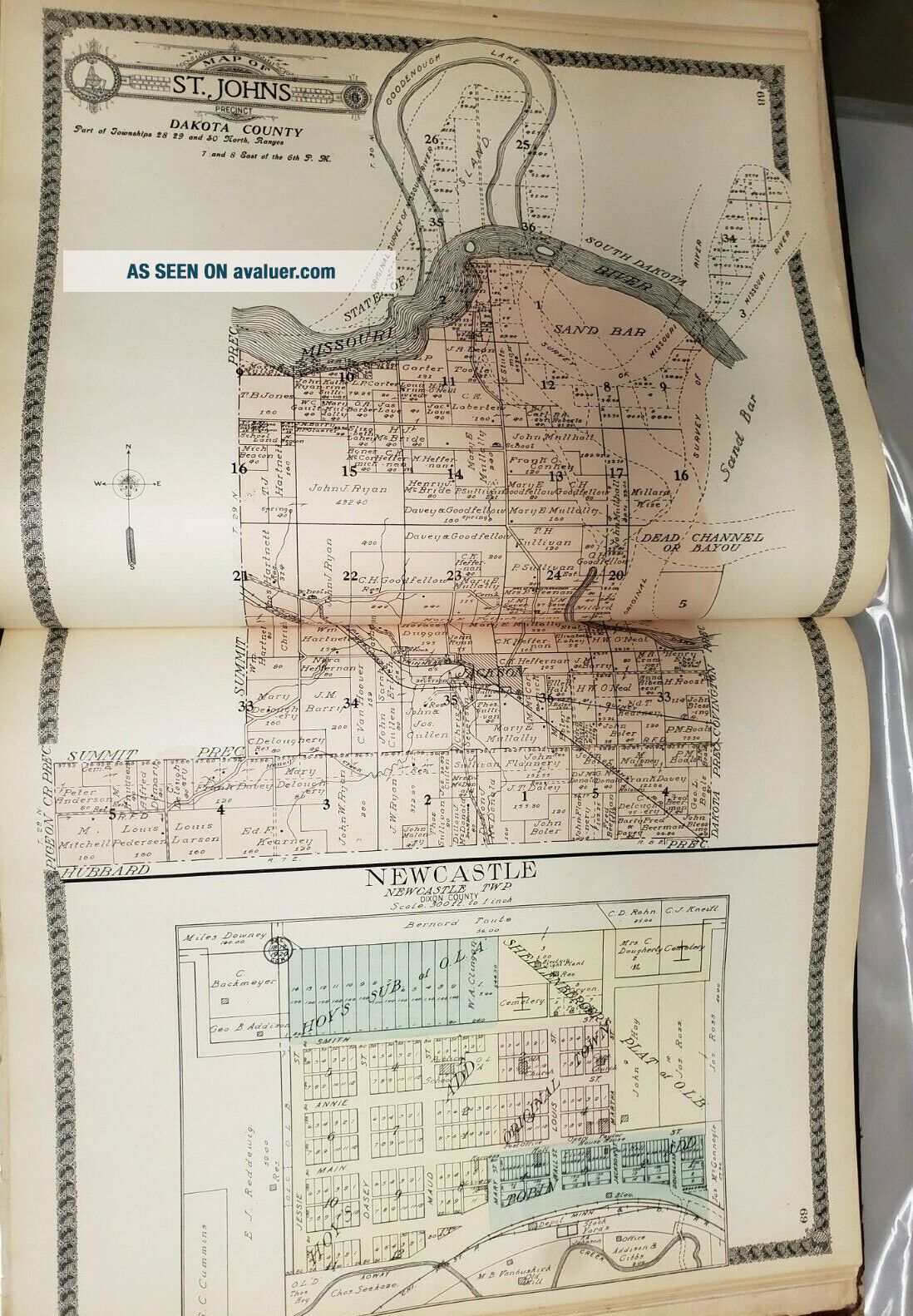
Offered here is a Dixon & Dakota County of Nebraska atlas of 140 pages of which 22 are of the standard supplement type. All pages appear present. All the plat pages (118) are printed on one side only. There are six pages of illustrations and four pages of local advertising. There is a map of Nebraska, a map of the United States, and a map of the world, all printed on one side only.
Study the figures carefully for there will be no returns on th...is item. Tax will be charged for purchases in Nebraska unless you have filed for and received tax exemption with eBay prior to your purchase.
The following Standard Atlas or Plat books will be offered shortly. If you have any particular one you are interested in, please contact me and I will put it up for auction/buy-it-now as soon as I can. And remember, PayPal loans money with no interest for 6 months should you be short of cash at the moment. NE atlases are rare and the present offering and those in the future took a lifetime to collect. It may be years before the one you want in this list comes up for auction again.Atlases or Plat books for the following counties in NE to be listed in the coming days are: Antelope, 1904; Box Butte, 1913; Brown, 1912; Cass, 1905; Cedar, 1917; Cheyenne, 1913; Clay, 1905; Colfax, 1899; Crams NE and the World; Cuming, 1908; Dixon &Dakota, 1911; Dodge, 1902; Douglas & Sarpy, 1889; Fillmore, 1905; Furnas, 1895; Furnas, 1903; Gage, 1922; Hamilton, 1923; Holt, 1904; Jefferson, 1900; Jefferson, 1917; Johnson, 1918; Kearney, 1905; Keith, 1913; Lancaster, 1903; Lincoln and Environs, 1948; Madison, 1899; Madison, 1918; Merrick, 1917; Nance, 1920; Nickolls, 1900; Otoe, 1912; Pawnee, 1917; Phelps, 1920; Pierce, 1899; Red Willow, 1905; Richardson, 1896; Rock, 1912; Saunders, 1907; Scott's Bluff, 1907; Thayer, 1916; Stanton, 1919; Valley, 1904; Washington, 1884; Wayne, 1918; Wheeler, 1917.Shipping is to the continental USA only. The atlas will be placed in a polyethylene bag and then centered and attached to a virgin piece of thick foam board with wide margins beyond the atlas. Heavy Kraft paper will then be wrapped around the unit. This should insure no damage to the corners if the package is dropped on its corners.