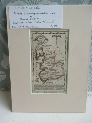
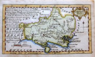
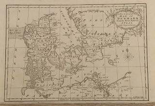
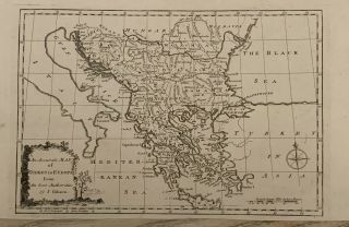
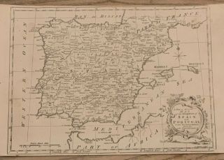
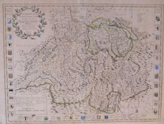
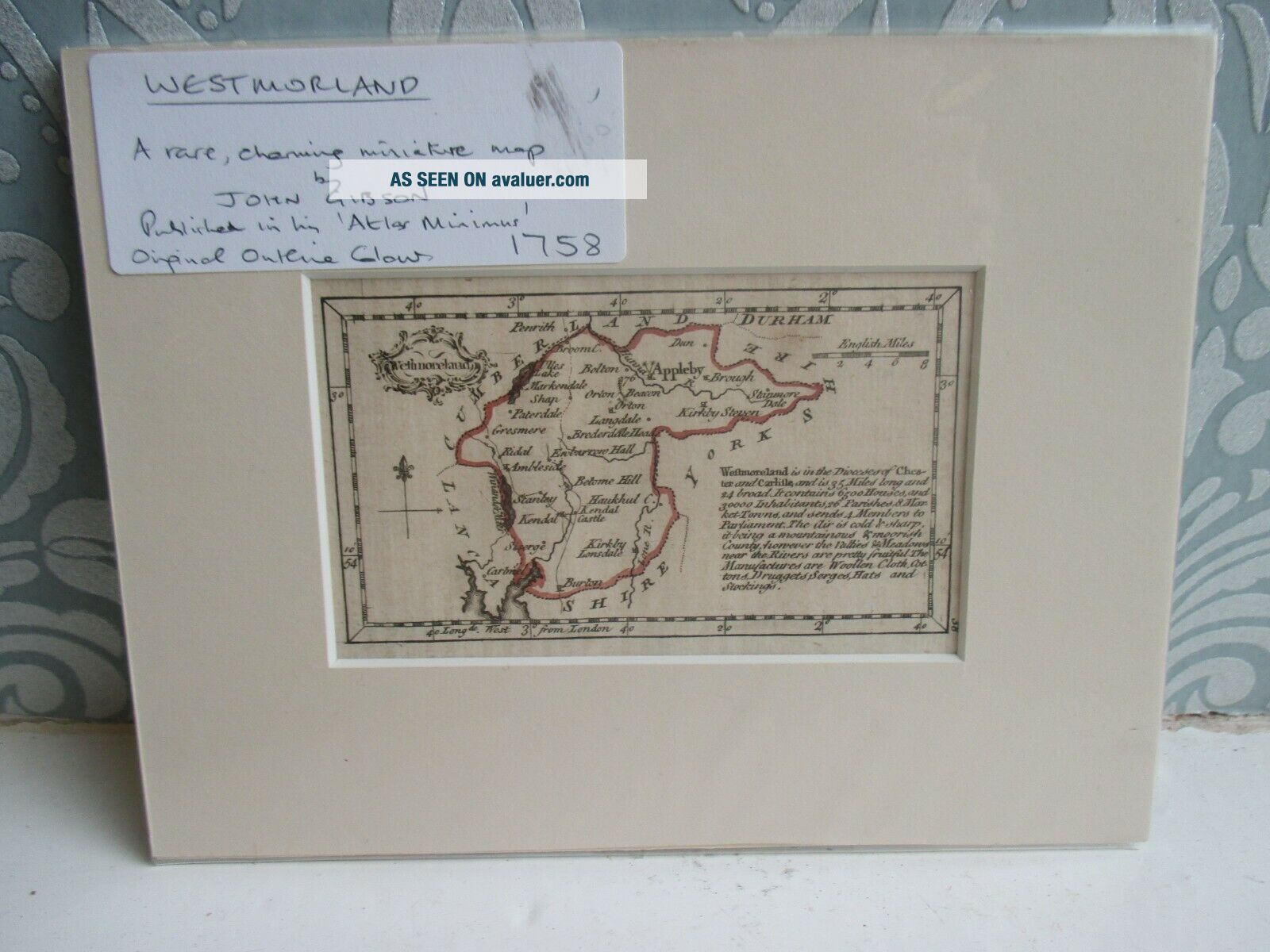
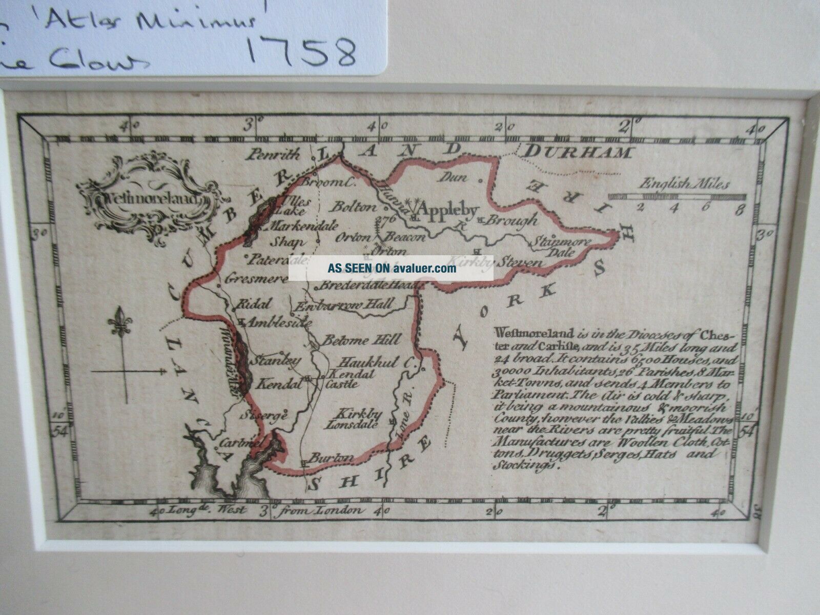
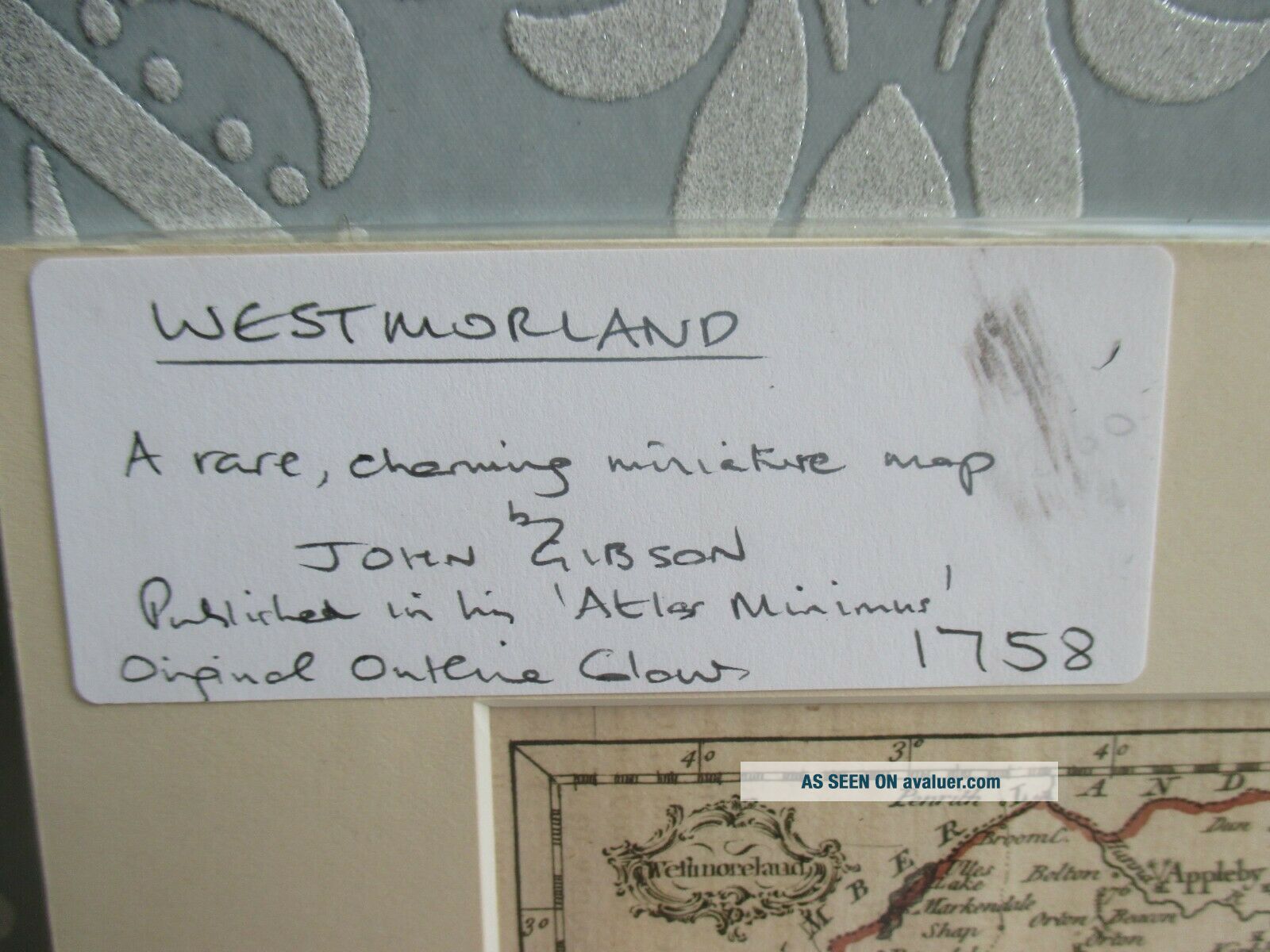
Westmoreland Miniature Engraved Map By John Gibson 1758 - Atlas Minimus
Item History & Price
| Reference Number: Avaluer:27546 | Format: Atlas |
| Year: 1758 |
Westmoreland Miniature Engraved Map By John Gibson 1758 - Atlas Minimus(our ref 114265)
Condition:
Good condition for age, possibly a few light marks, age toning etc, has been mounted on card.Size (approx):mount - 19.5cm x 14.5cmmap - 11cm x 6.5cmWeight (approx): 45grams
Please select a photo to enlarge image
We may have similar items in stock and can combine postage
Overseas buyers if there is no international postage shown please ask to see if we can p...ost to your location