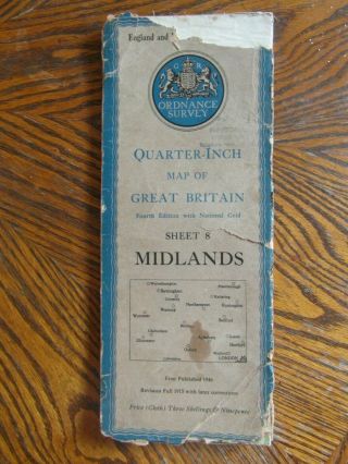
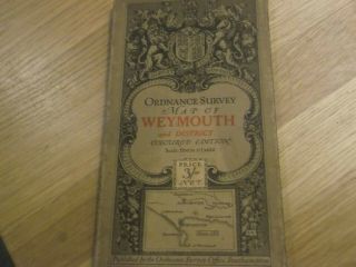
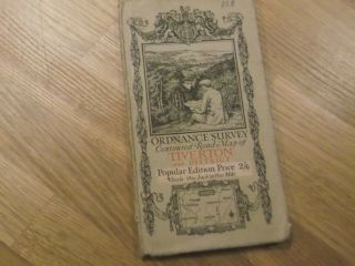
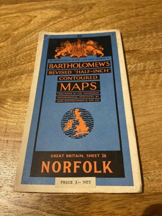
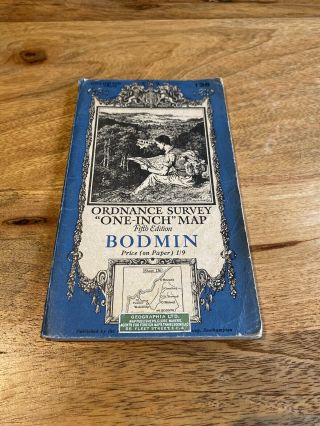
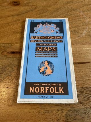
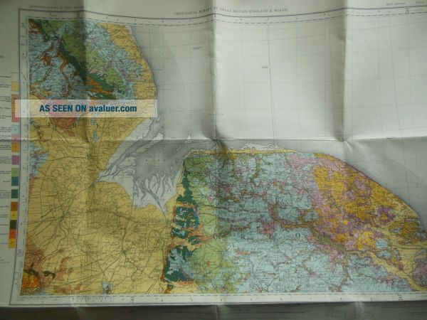
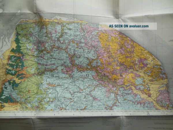
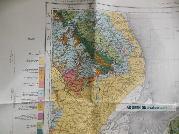
Vintage Geological Survey Drift Ed Map Of Norfolk, The Wash (1964) Ordnance
Item History & Price
Vintage folding Geological map. No covers issued. In Vg condition with a little toning to the paper. 28.5 x 20 inches when opened.---------------------------------------------One of a number of similar items I am selling. Check out the other items in my Ebay shop. Postage is always combined where possible.-------------------------------------------- DSR's: If you have any issue with your purchase, please contact me BEFORE leaving feedback. I pride myself on good customer service, and a...lways try to get items sent out within 24-48 hours (1-2 working days). Please base your DSR for Dispatch time on this, and not the transit time, which is out of my control. Postage and packaging costs are kept to a minimum, with only a nominal fee being added for packaging materials where necessary. Items are described as accurately as possible, but if you think I have overlooked anything please drop me a line. This excludes foxing, previous owner's names or inscriptions, etc. Any negative points, such as missing or torn pages are usually noted on the relative listing. I would rather my customers be happy with their purchases than disappointed. As the old saying goes "If you like what we are doing, tell others, if you don't, tell us". ***Overseas Bidders*** No cheques please unless drawn on a UK bank. Overseas transactions to be paid with Paypal, NO Foreign Currency, thanks. Please note that heavier items are not able to be sent to PO Boxes by UK Couriers. Please note that Bidders in Russia and certain other East European countries will need to pay for a 'Signed for' service owing to Customs regulations in those countries. The postage to these countries may also differ from the European rate if the item is in excess of 2kg. ***All Bidders*** Please note that items are sent to the address as stated on your initial invoice unless I am imformed otherwise in A SEPARATE EMAIL VIA EBAY. ------------------------------------------------MY GRADINGS New: A new book, never used. As New (AN): Although a used book, it should appear unread with no flaws, just as when it was sold new. Fine (F): Should have no flaws, a perfect copy of a used book. Mint: Another term for Fine. Near Fine (NF): May show a small flaw, such as shelf wear, but nearly perfect and unread. Very Good (VG): The broadest category for used books, this describes any average used book. May have small flaws, and has probably been read, but should appear overall clean and attractive. Good (G): Will probably have significant wear or damage, although is still intact. Suitable for reading, but not necessarily a good gift copy. The old saying in bookselling is "good ain't good." Fair: Another term for Poor or Reading Copy: Heavily worn or damaged, a poor book will be readable but not attractive. Binding Copy: This may or may not be the complete pages of the book, but the binding has been broken or damaged to the point it will need professional rebinding ------------------------------------------------OTHER INSTRUCTIONS - If paying with a cheque or postal order please make payable to 'A BROWN' and not blofieldbooks. Payment to be made within 3 days of purchase unless otherwise advised to avoid an 'unpaid item' case being opened. I am pretty flexible, so if you want to purchase and pay when payday comes around just let me know.RETURNS - If you are unhappy with your purchase please contact me before returning. Items returned must be with the original packaging, especially if returning due to being damaged in the post, as this may need to be inspected by the relative postal company.