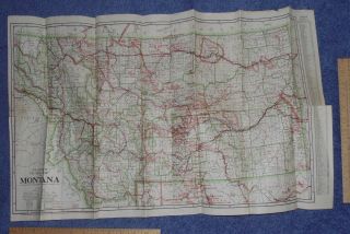
Frank Gray ' S 1876 Map Of Montana Wyoming & Idaho Hand Colored Utah Reverse


Item History & Price
| Reference Number: Avaluer:30044 |
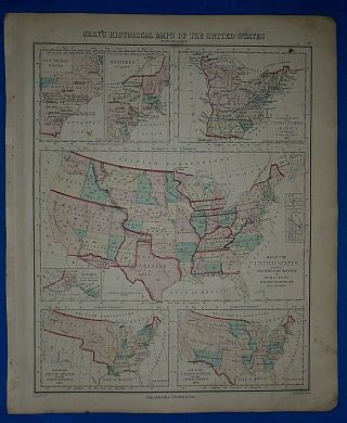
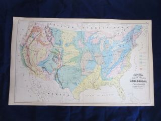
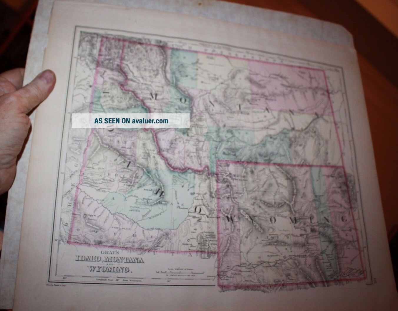
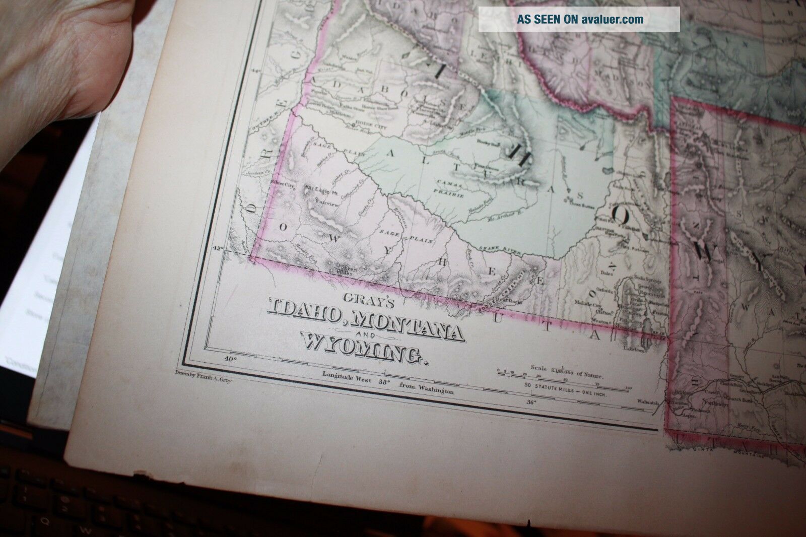
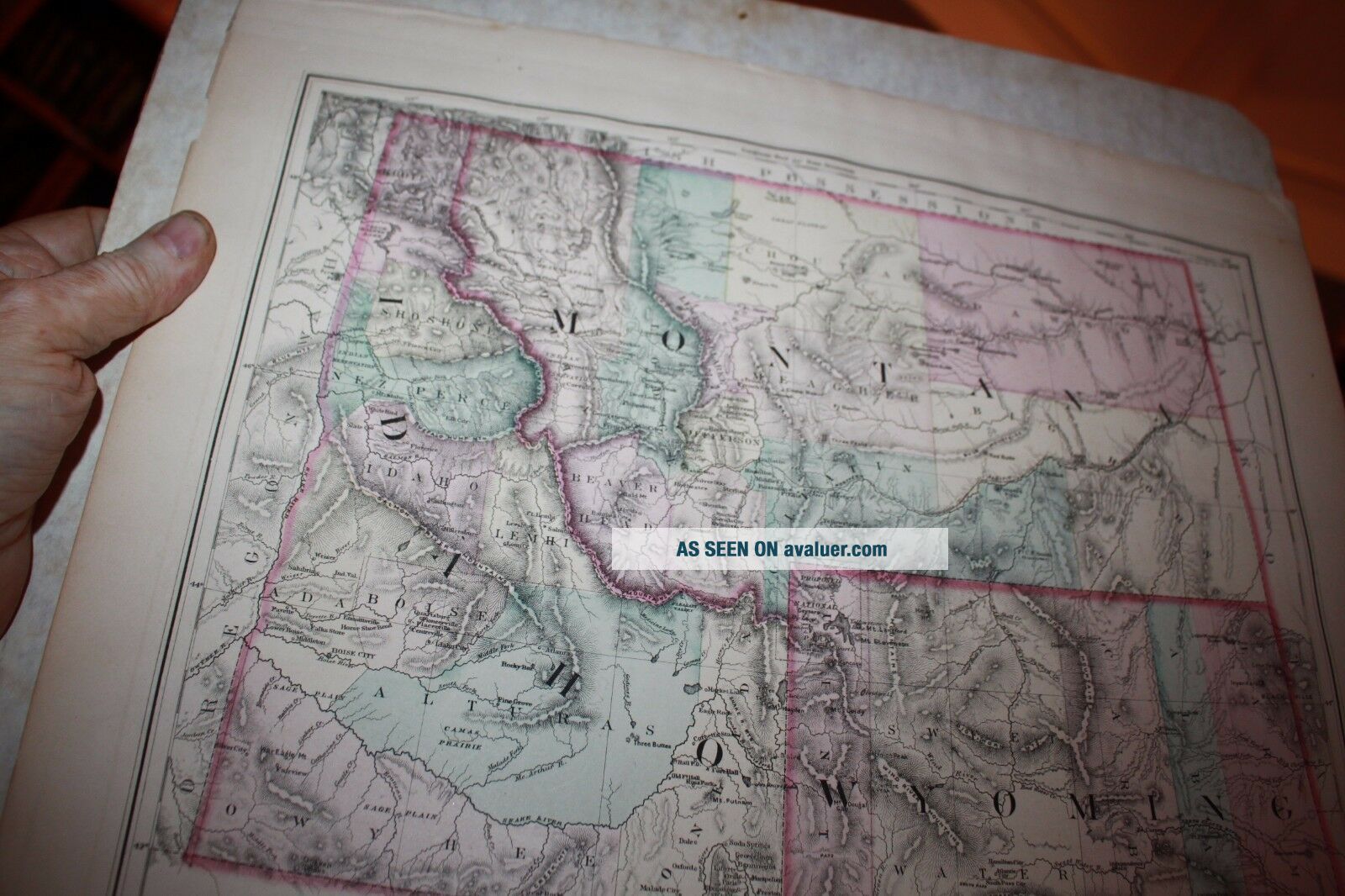
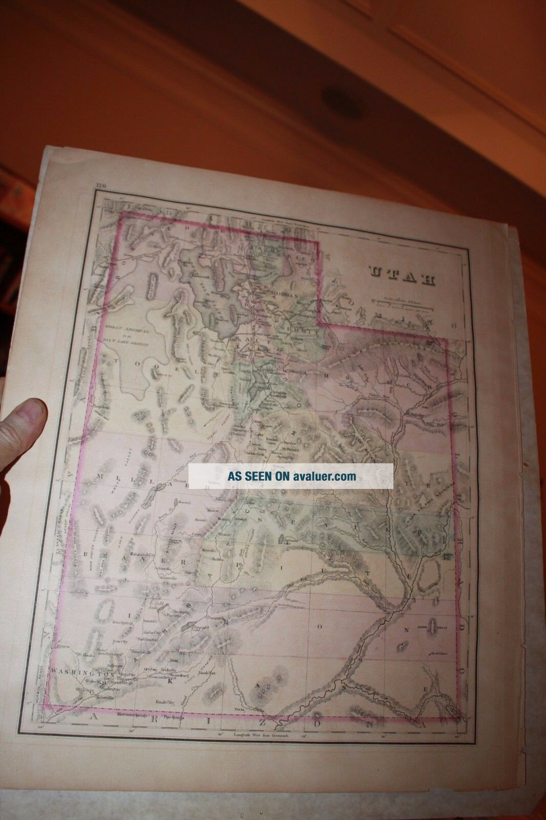
Printed in about1876 and in good condition, a good early Western US map. 14.75" x 17.5".Doolittle was a very famous engraver and prolific. He is best known for his image of the Boston Massacre. This map first appeared In Carey's American Edition of Guthrie's Geography Improved in 1795 and also appeared in Carey's American Atlas that year. This edition was larger and does not have a plate number or the attribution to Carey. This has very large margins which adds to it's significance as ...it has not been trimmed. Lightly and evenly toned with a fold mark down the middle, as shown. This is normal for this map. It is 20.5" x 15.5". in the diameters of the matting and is likely slightly larger. It is the largest and best condition of this version I could find online. With the wonderful frame it approximates 22" x 26.5" and is professionally framed. This would be great for an advanced collection for someone looking for museum quality documents/maps.
About Me/ShippingI am a wholesaler dealer and scour GA and New England for the best to buy for my customers. I am also the founder of WorthPoint.com and would encourage all to visit it if you want to research antique prices. I focus on happy repeat customers and love what I do and try to ensure all customers are happy. Consider your source when buying. I have sold over 15, 000 items on eBay and have 100% positive feedback.I charge GA sales tax to GA residents. I specialize in paper, photos , coins and militaria. I sell about anything except reproductions. If it is not old, I say so. If there is a defect, I also say so. If you know more than me about something, that is OK, as I do not mind learning or being told that I am wrong and strive for accuracy. You can always learn more in this business.If buying internationally, email me for final postage if you are the winner. eBay's quoted postage tends to be too high for a 1st class envelope
00561