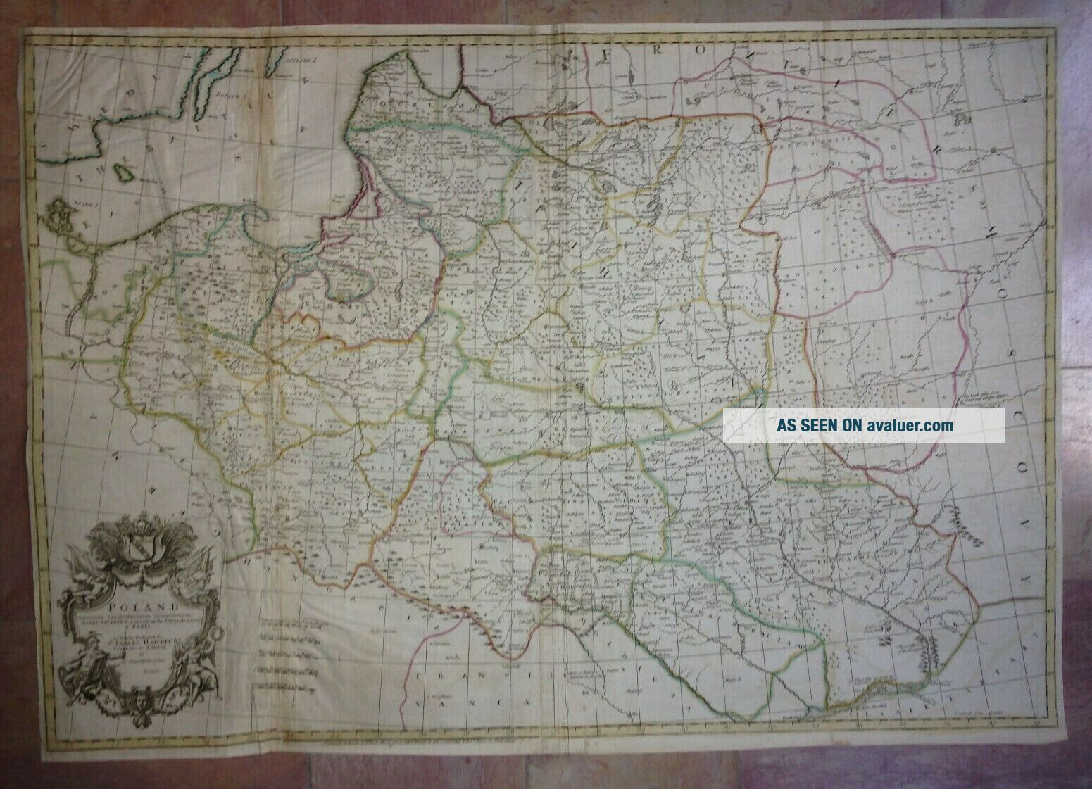
POLAND C. 1750 By JOHN SENEX 18e CENTURY VERY LARGE ANTIQUE ENGRAVED MAP
Item History & Price
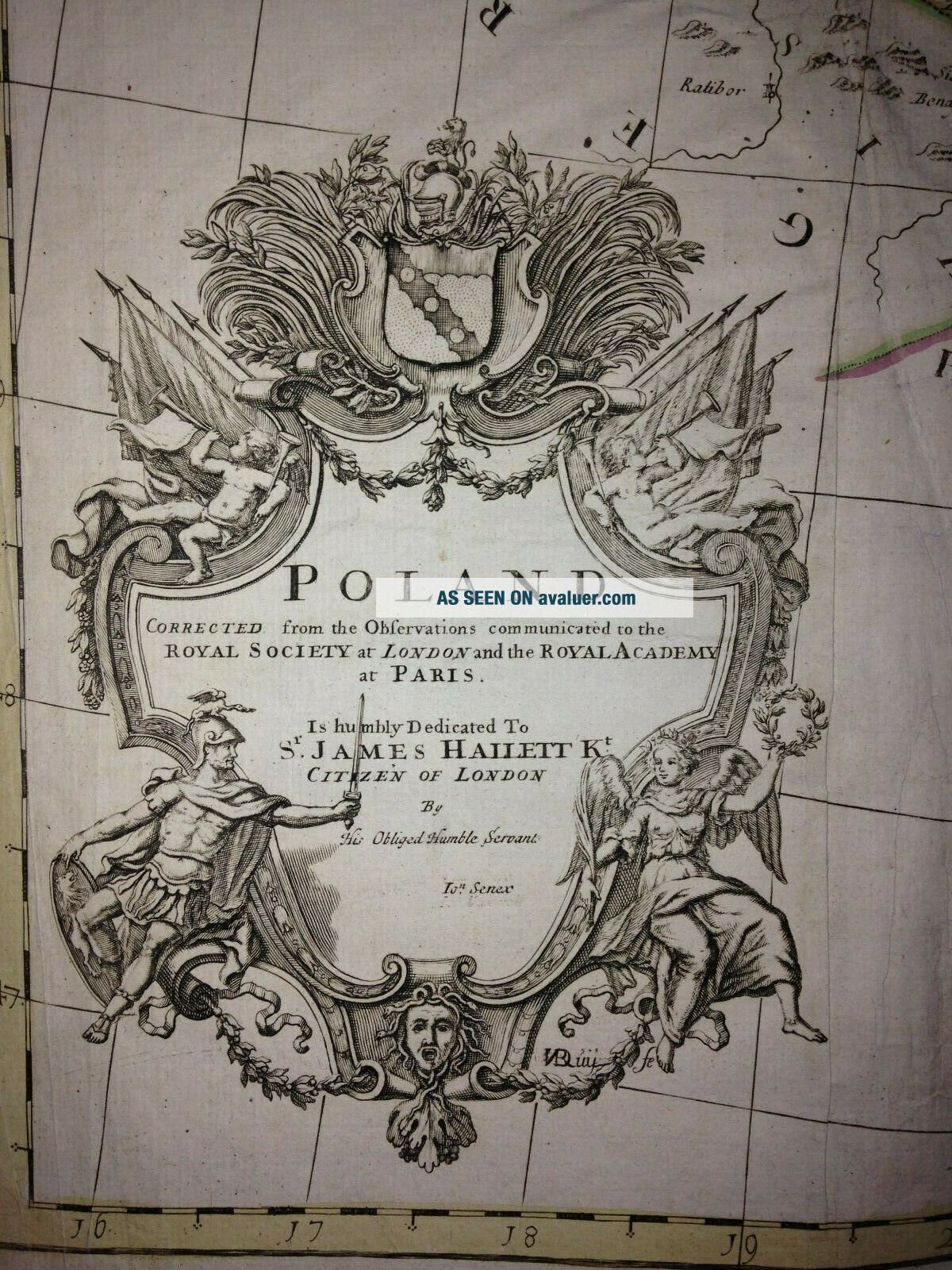
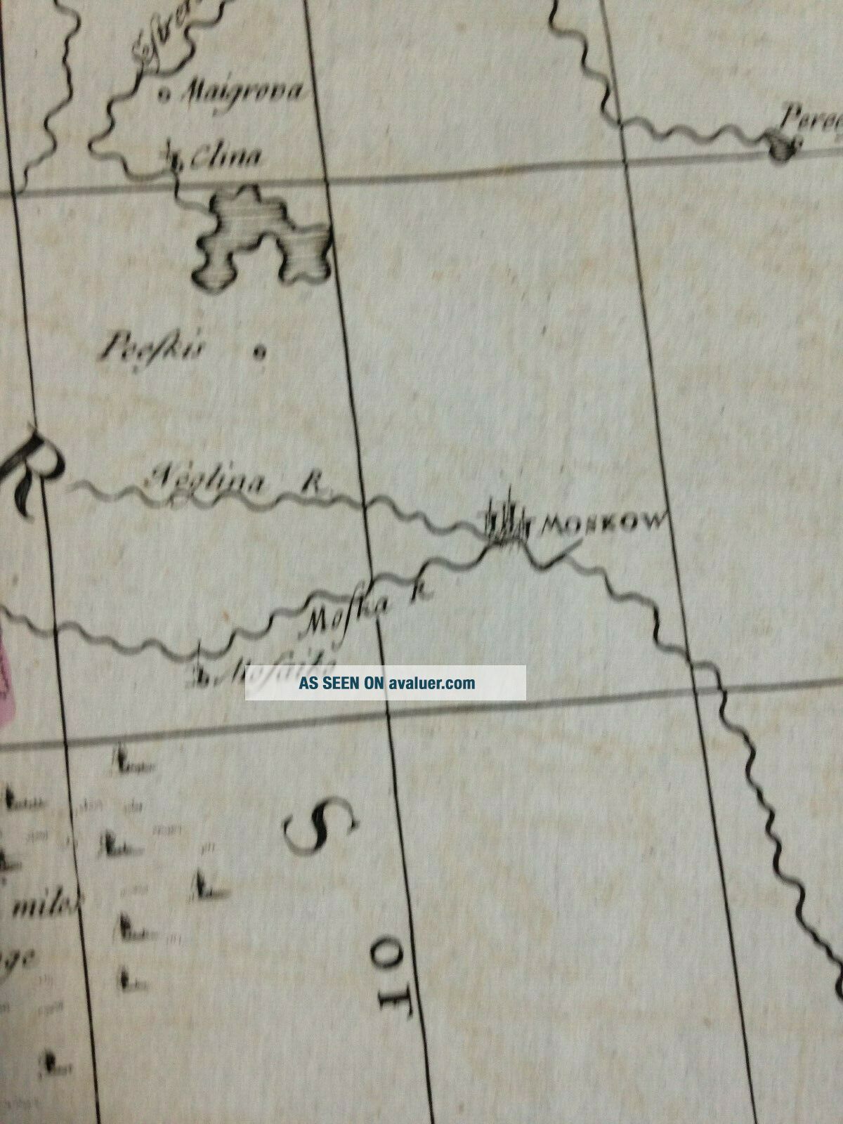
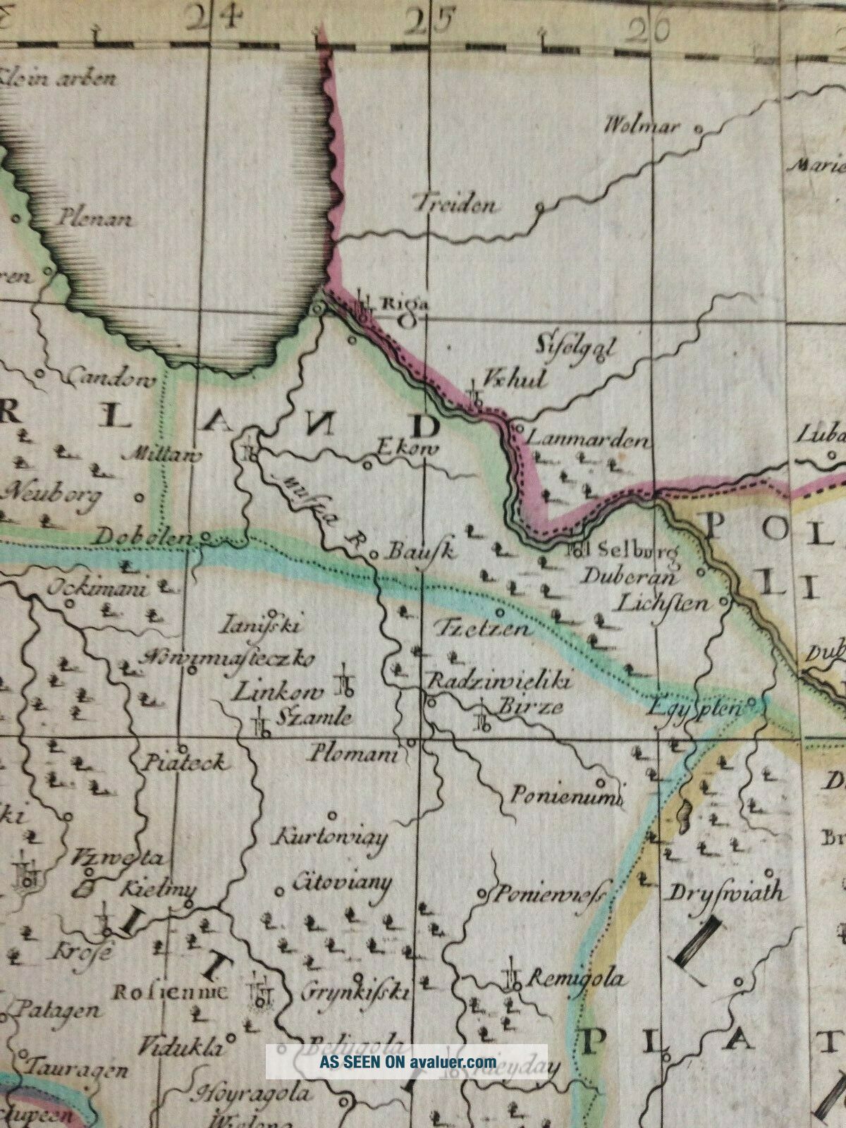
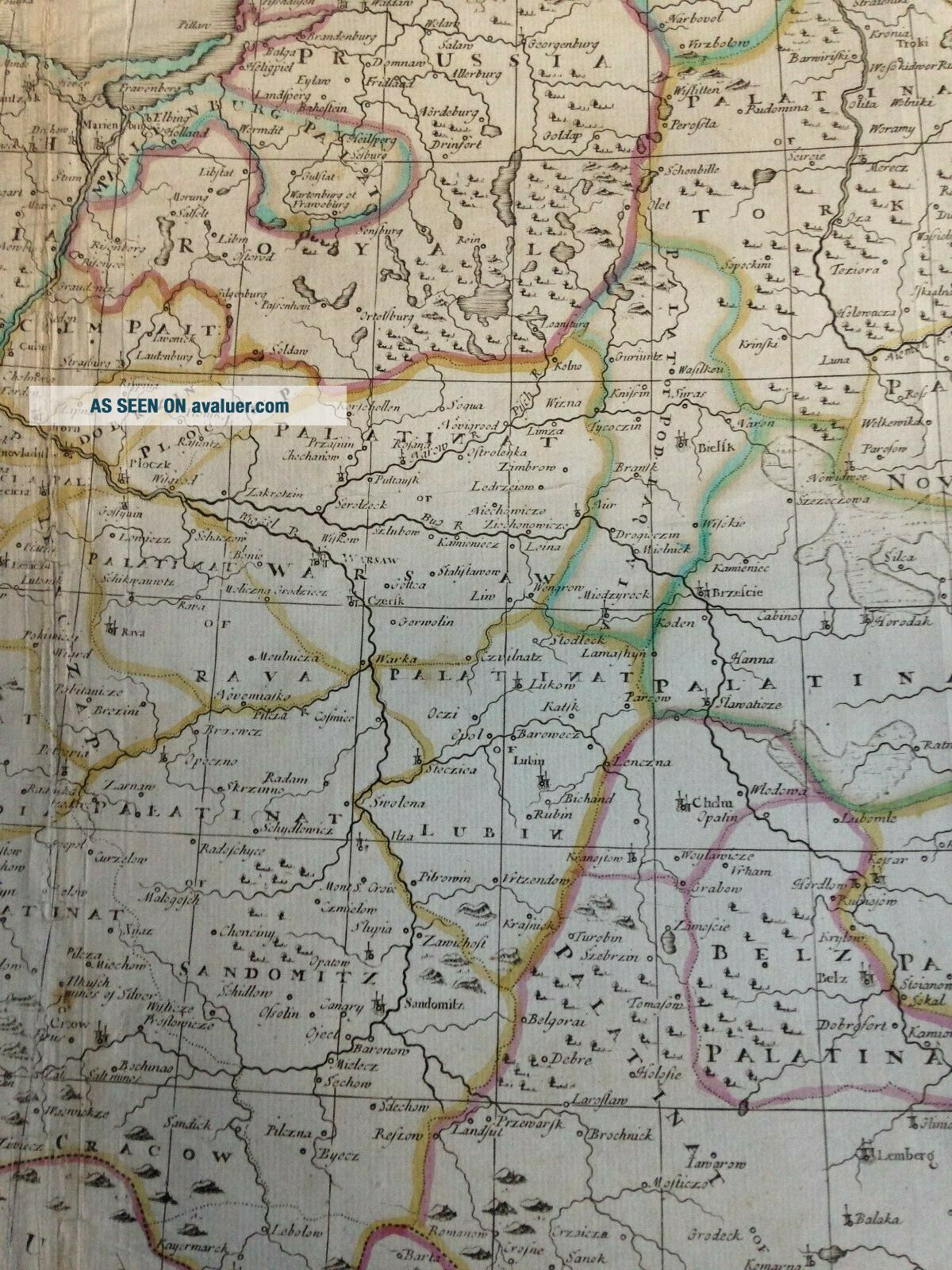
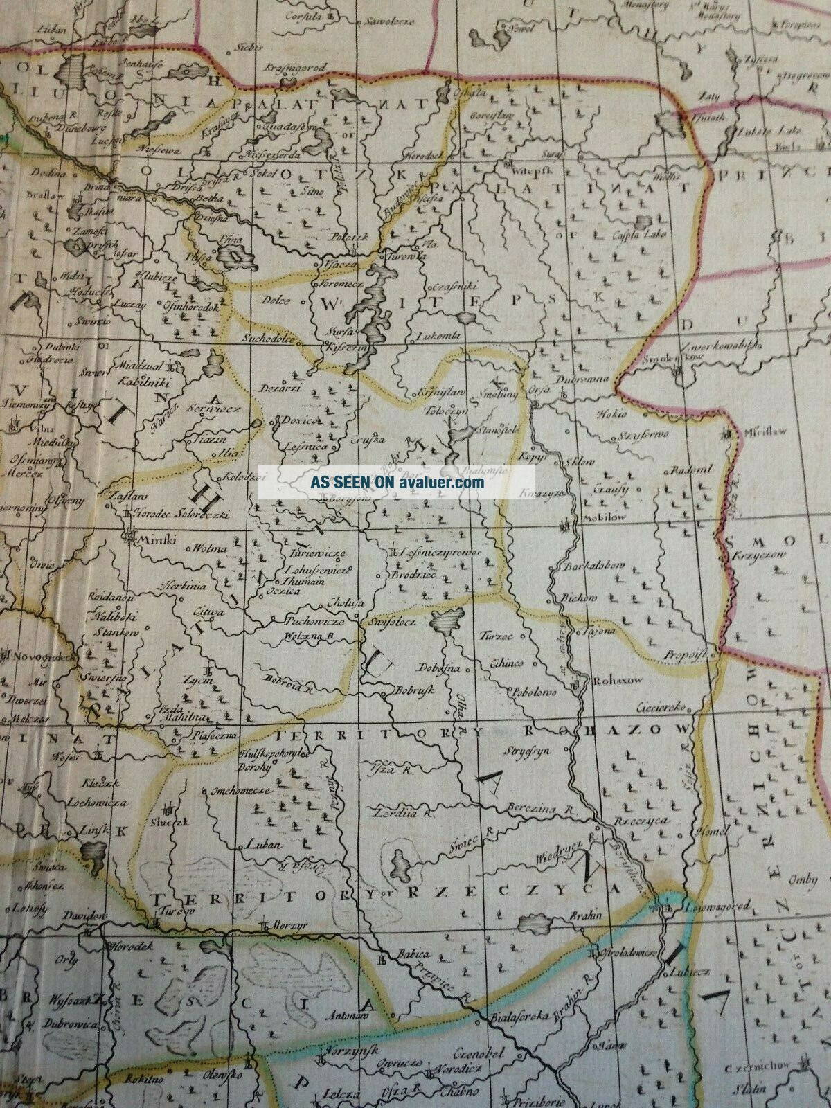
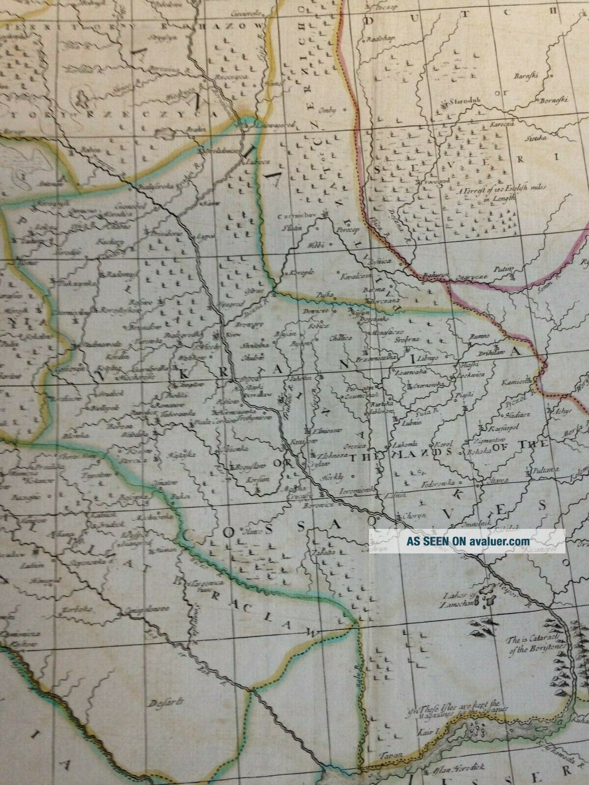
Title of the map:"POLAND Corrected from the observations communicated to the Royal Society of London and the Royal Academy of Paris. Is humbly dedicated to Sr JAMES HAILETT K, Citizen of London, by his oblige humble servant Jo Senex"
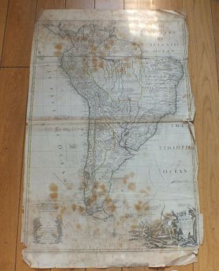
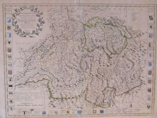
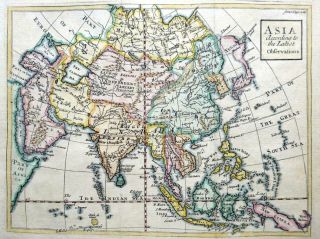
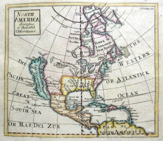
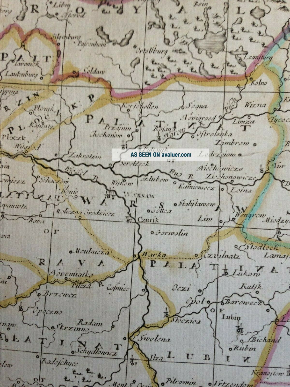
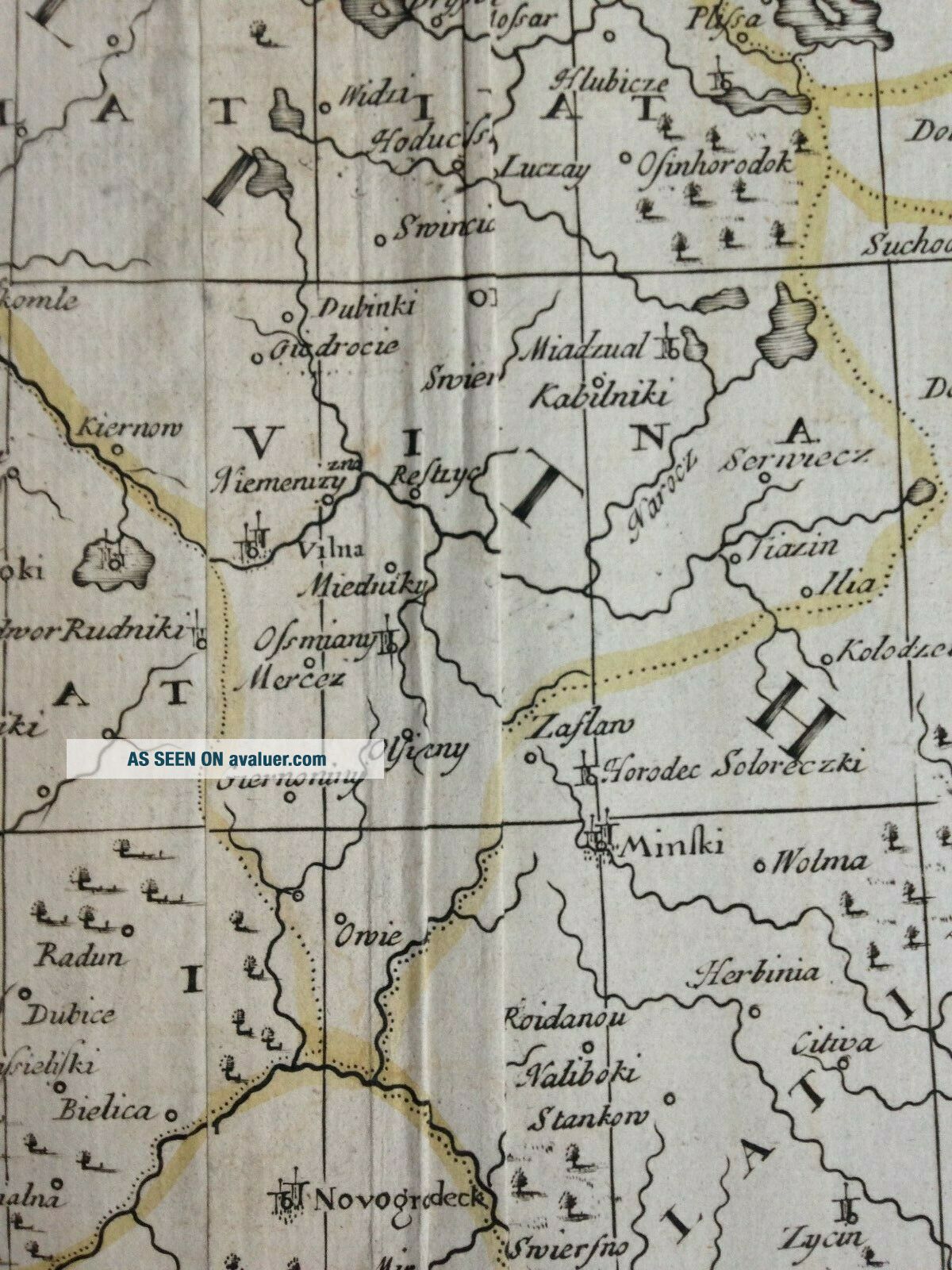
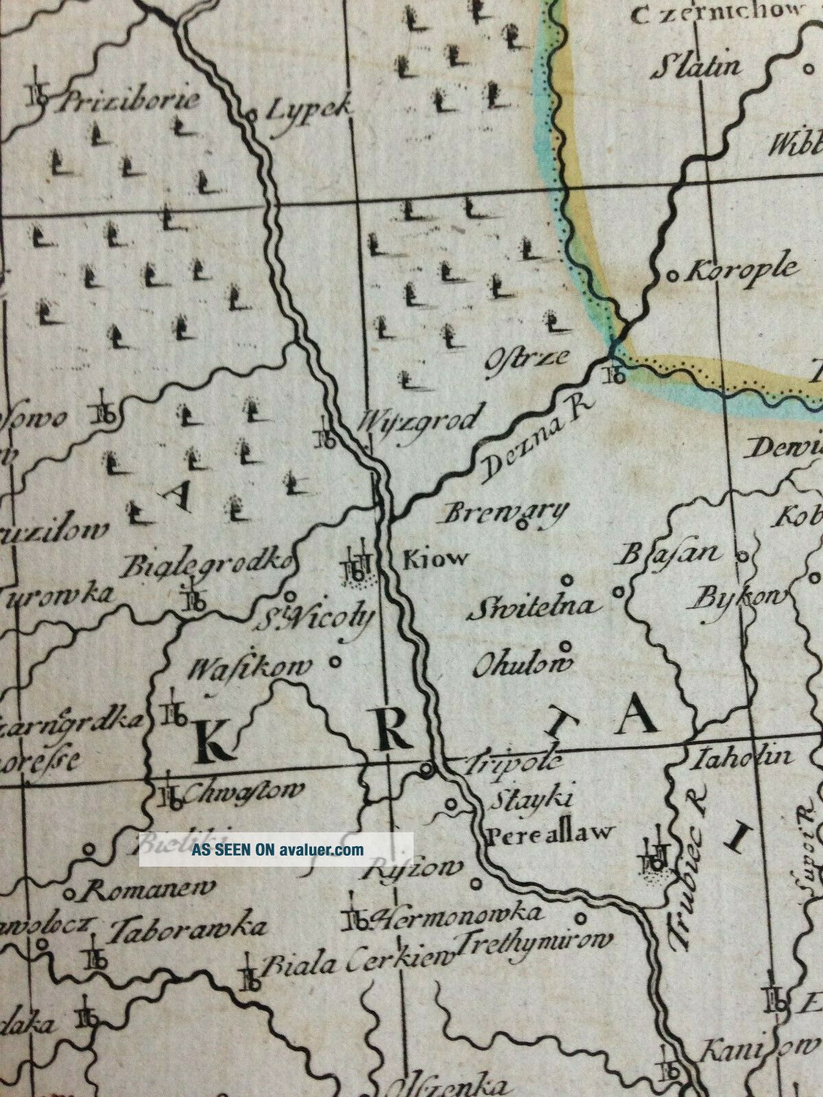
Very large unusual antique copper engraved map of Poland, in two sheets which have been joined, by John SENEX, XVIIIe century.
This is one of the largest map of Poland.
The map extends from the Baltic sea, Silesia and Hungary in the west... to Lithuania and Moscovia in the east.
With a nice decorative cartouche.
John Senex (1678-1740) was one of the famous mapmakers, geographe and globemaker in England in the 18th century. In 1728, he was elected as a Fellow of the Royal Society. After his dheath, his stock was acquired by William Herbert and Robert Sayer for the maps, and James Ferguson for the globes.
Size with margins : 95, 5 x 67, 5 cm / 37, 4 x 26, 3 inches
Condition : some traces of folds and striking defects in the left side of the map.
Edition : London, printed for T. Bowles, John Bowles and son, & Robert Sayer, c. 1750, XVIIIe Century.
If you buy more than one item, you have to pay just one only shipping cost.All shipments are insured.
WE DON'T SELL LASER AND COPIES MAPS, ALL WE SELL IS ORIGINAL AND ANTIQUEDue to the age an type of paper, some imperfections are to be expected. Please examine the images provided carefully, and if you have any questions please ask and we will be happy to help you