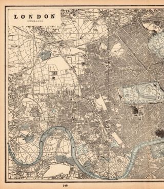
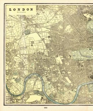
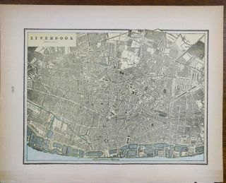
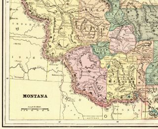
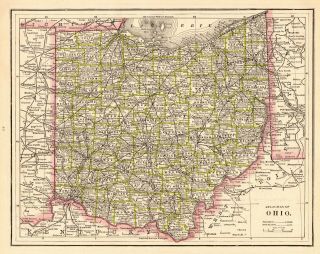
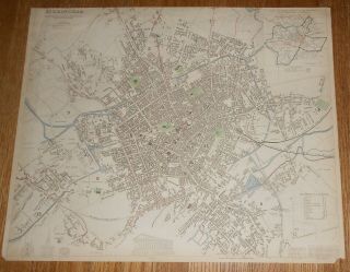
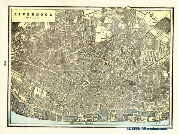
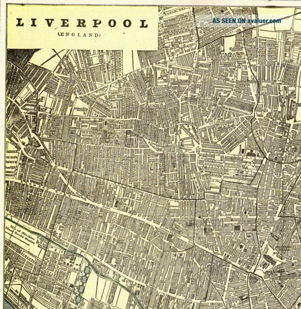
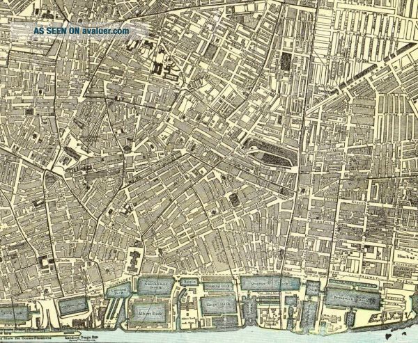
1895 Antique LIVERPOOL England Map Vintage Map Of Liverpool Crams Atlas Map 7094


Item History & Price

Information:
Reference Number: Avaluer:30267748Topic: Maps
Format: Atlas MapPublication Year: 1895
Type: City MapRegion: Ireland
Year: 1895Features: Antique
City: LiverpoolCartographer/Publisher: Crams
Date Range: 1800-1899Original/Reproduction: Antique Original
Country/Region: Spain, England
Original Description:
ANTIQUE MAP LIVERPOOL ENGLANDThis is an original, not reproduction, vintage map of which was carefully removed from a Cram's atlas. The map measures approximately 9" by 12." Your item will be packaged in a plastic sleeve, within a cardboard mailing tube.Please email with questions, we will answer your email promptly!Please visit our ebay store, Plaindealing Vintage Paper.
Powered by eBay Turbo Lister
The free listing tool. List your items fast and easy an...d manage your active items.


    Similar items


  • 1893 Antique London England Map Vintage City Map Of London Gallery Wall Art 6153

    1893 Antique London England Map Vintage City Map Of London Gallery Wall Art 6153

  • 1895 Antique London England Street Map City Map Of London Gallery Wall Art 7093

    1895 Antique London England Street Map City Map Of London Gallery Wall Art 7093

  • Antique Bartholomew,  S Map Of Merseyside Liverpool Area England

    Antique Bartholomew, S Map Of Merseyside Liverpool Area England

  • Vintage 1900 Liverpool England Map 14 " X11 " Old Antique Beatles Lennon

    Vintage 1900 Liverpool England Map 14 " X11 " Old Antique Beatles Lennon

  • 1895 Antique Montana State Map Vintage George Cram Atlas Map Of Montana 8760

    1895 Antique Montana State Map Vintage George Cram Atlas Map Of Montana 8760

  • Vintage/antique Ordnance Survey Map Of England & Wales Bude 1946.  Pre - Owned

    Vintage/antique Ordnance Survey Map Of England & Wales Bude 1946. Pre - Owned

  • 1886 Antique Ohio State Map Of Ohio Gallery Wall Art Vintage Ohio Map 6790

    1886 Antique Ohio State Map Of Ohio Gallery Wall Art Vintage Ohio Map 6790

  • 1831 Antique Hand - Colored Map Of Birmingham England City Plan Sduk

    1831 Antique Hand - Colored Map Of Birmingham England City Plan Sduk


    • You might also like


    • Hungary & Romania 1579 (1584) Ortelius Unusual Antique Copper Engraved Map

      Hungary & Romania 1579 (1584) Ortelius Unusual Antique Copper Engraved Map

    • Brussels Bruxelles Belfium 1777 De Ferraris & Dupuis Large Antique Map Sheet Xxi

      Brussels Bruxelles Belfium 1777 De Ferraris & Dupuis Large Antique Map Sheet Xxi

    • 1616 Atlas Map Of Iceland.

      1616 Atlas Map Of Iceland.

    • Kazan Russia 1767 Le Clerc/lespinasse Antique Copper Engraved City View

      Kazan Russia 1767 Le Clerc/lespinasse Antique Copper Engraved City View

    • 1899 Stanford,  Folding Map Of Norwich,  Norfolk,  Arthur Collins,  Jarrold & Sons,

      1899 Stanford, Folding Map Of Norwich, Norfolk, Arthur Collins, Jarrold & Sons,

    • 1948 Vintage Linen Colour Map Geological Survey Ten Mile Of Great Britain

      1948 Vintage Linen Colour Map Geological Survey Ten Mile Of Great Britain

    • 1944 Map Flying Bombs Sussex Ww2 Newspaper Military Kent Courier German V1 V2

      1944 Map Flying Bombs Sussex Ww2 Newspaper Military Kent Courier German V1 V2

    • Dated 1638 Vellum Map Of Icklesham Sussex Showing Land Uses Owners Etc

      Dated 1638 Vellum Map Of Icklesham Sussex Showing Land Uses Owners Etc

Avaluer          About Us          Privacy Policy          Contact Us          UP
© 2022, avaluer.net, Inc. or its affiliates