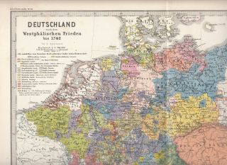
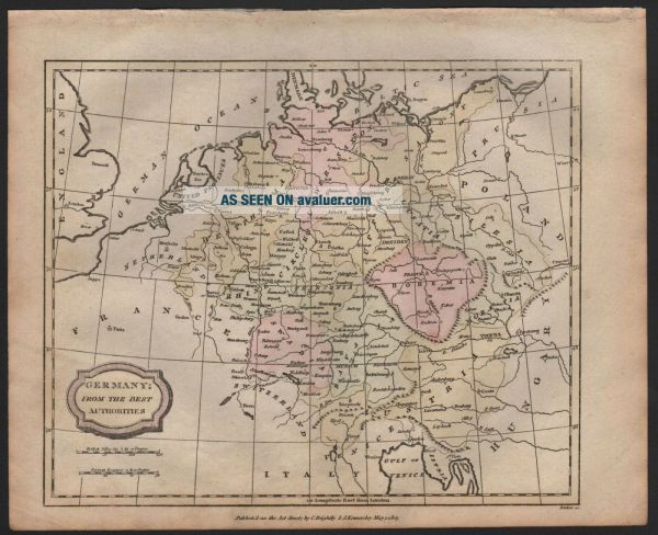
1807 ANTIQUE H/COL MAP - GERMANY FROM THE BEST AUTHORITIES
Item History & Price
| Reference Number: Avaluer:30299255 | Map Type: Countries/Borders |
| Colouring: Hand Tinted | Format: Sheet Map |
| Age: 1800-1849 | Country/Region: Germany |
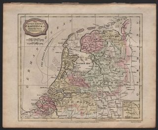
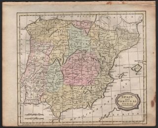
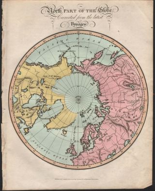
GUARANTEED ORIGINAL MAP OVER 200 YEARS OLDFREE FIRST CLASS DOMESTIC POSTAGETitle:GERMANY FROM THE BEST AUTHORITIESDescription:Antique map suitable for framingCopper engraved map with original hand colouring On heavy paperDated on the plateSingle sided, ie there is nothing on the reverse side Condition:Please look at the picture providedSome age toning and evidence of usage otherwise very goodPage Size: Approx... 260 x 210 mm (10.25 x 8.25 Inches)Year: Map dated 1807Source publication date 1812Provenance:A Complete and Universal Dictionary...by The Rev James BarclayBungay EditionPublished by Brightly and Childs 1812GUARANTEED OVER 200 YEARS OLDCheck out my other items!Be sure to add me to your favorites list!The picture included here is of the actual print for sale, not a stock or library print. We endeavour to describe any faults but please look at the picture. Virtually all antiquarian maps and prints are subject to some normal aging due to use and time which is not obtrusive unless otherwise stated. We offer a no questions asked return policy.This is an authentic print, published at the date stated above. It is not a modern copy. GUARANTEED ORIGINAL ANTIQUE MAPFREE FIRST CLASS DOMESTIC POSTAGE