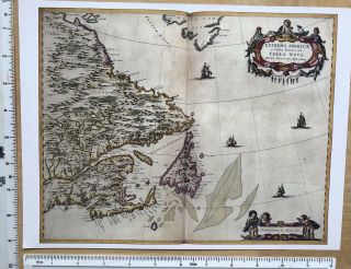
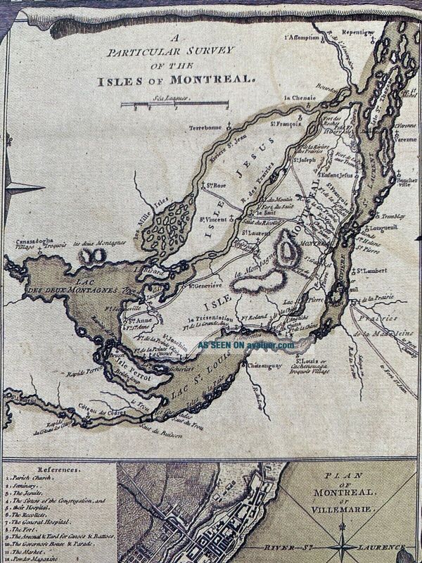
Historic Antique Old Vintage MAP 1700 ' S: Province Of Quebec, Canada: Reprint


Item History & Price

Information:
Reference Number: Avaluer:30983245Year: 1763
Canadian Province: labradorFormat: Wall Map
Original/Reproduction: Antique ReproductionCartographer/Publisher: Blaeu
Date Range: 1700-1799Era: 1600s
Country/Region: CanadaType: Physical Map
Original Description:
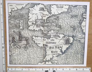
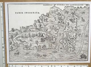
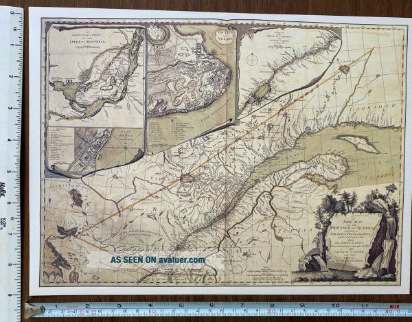
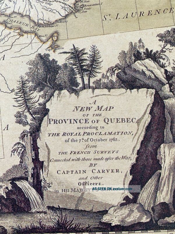
Map of the Province of Quebec, Canada originally published in about 1763 (see photo of the text for more details)
This map is a book plate taken very carefully from a book of maps which was published in 1990. 
It is in excellent condition and has been produced on thick, good quality paper. It measures 12" X 9" and would look fabulous framed. As it is from a book the description on the rear of this map is actually of a different map.  A description of this map is in...cluded in the listing. 
PLEASE NOTE THAT THIS MAP IS NOT a PHOTOCOPY!
The map has been kept in a sealed plastic bag and will be sent to you in a cardboard backed envelope.
I have other maps for sale and will combine postage prices if you wish to buy any others.


    Similar items


  • Historic Antique Old Vintage Map 1600

    Historic Antique Old Vintage Map 1600 ' S: Brazil, Brasilia: Blaeu Reprint 1642

  • Historic Antique Old Vintage Map 1500

    Historic Antique Old Vintage Map 1500 ' S: Peru, Pacific Coast: Blaeu Reprint

  • Historic Antique Old Vintage Map 1500

    Historic Antique Old Vintage Map 1500 ' S 1540: The Americas: Earliest Reprint

  • Historic Antique Old Vintage Map 1500

    Historic Antique Old Vintage Map 1500 ' S 1520: The World: Heart Shaped Reprint

  • Historic Antique Old Vintage Map 1600

    Historic Antique Old Vintage Map 1600 ' S: East Canada & Labrador: Blaeu Reprint

  • Antique Old Vintage Map 1500

    Antique Old Vintage Map 1500 ' S: The Americas: Munster 1540: 11 X 10 " Reprint

  • Antique Old Vintage Map 1500

    Antique Old Vintage Map 1500 ' S: France, Newfoundland 1556: 12. 5 X 9 " Reprint


    • You might also like


    • 1860 Mitchell Hand Colored Map Colorado,  Nebraska & Kansas - Civil War Era

      1860 Mitchell Hand Colored Map Colorado, Nebraska & Kansas - Civil War Era

    • 18th Century French Map Of North America

      18th Century French Map Of North America

    • Las Vegas Nevada Vintage 1967 Us Geological Survey Quadrangle Map 4 Panels

      Las Vegas Nevada Vintage 1967 Us Geological Survey Quadrangle Map 4 Panels

    • Rare Antique 1845 Maps United States Exploring Expedition Book Antartica Hawaii

      Rare Antique 1845 Maps United States Exploring Expedition Book Antartica Hawaii

    • Vintage 1926 Map Hollywood From The Best Surveys Of The Time

      Vintage 1926 Map Hollywood From The Best Surveys Of The Time

    • American Continent (western Hemisphere) 1747 Bowen Antique Copper Engraved Map

      American Continent (western Hemisphere) 1747 Bowen Antique Copper Engraved Map

    • Gulf Coast Florida Texas United States 1705 De Fer Unusual Antique Engraved Map

      Gulf Coast Florida Texas United States 1705 De Fer Unusual Antique Engraved Map

    • California As Island United States 1700 De Fer Unusual First Edition Antique Map

      California As Island United States 1700 De Fer Unusual First Edition Antique Map

Avaluer          About Us          Privacy Policy          Contact Us          UP
© 2022, avaluer.net, Inc. or its affiliates