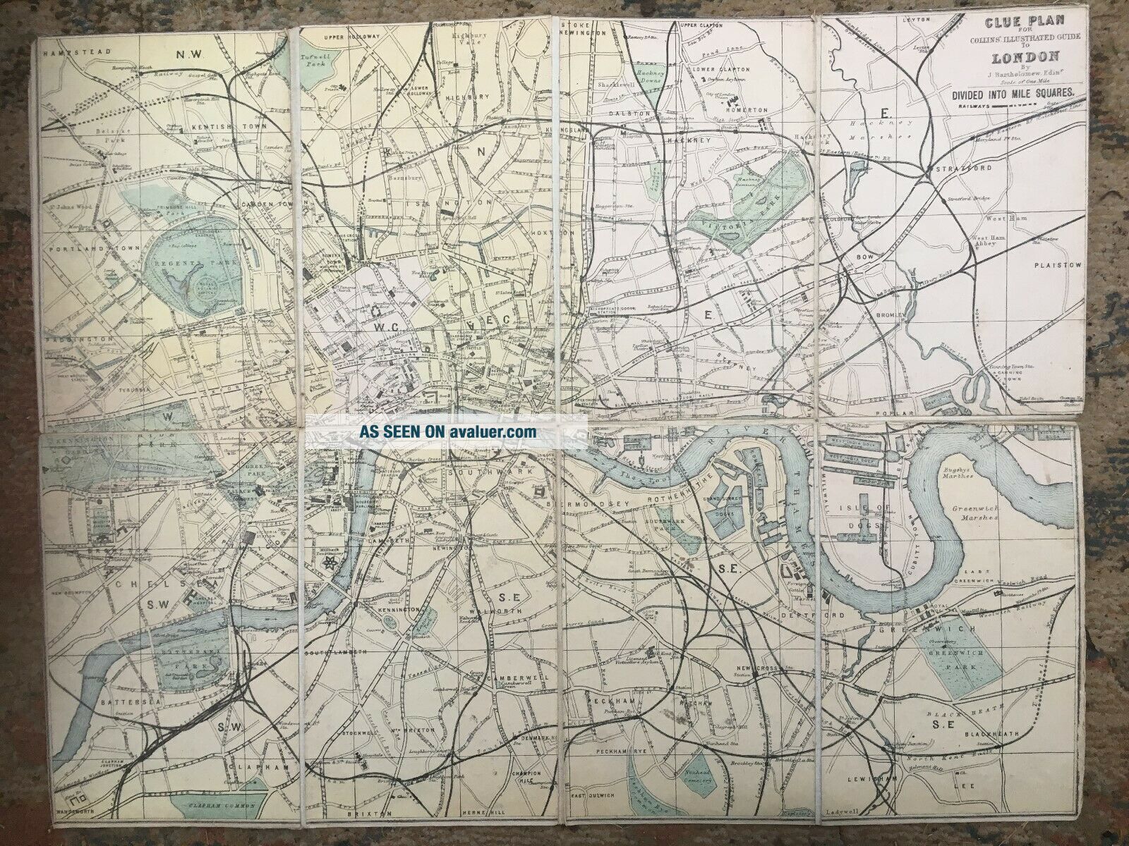
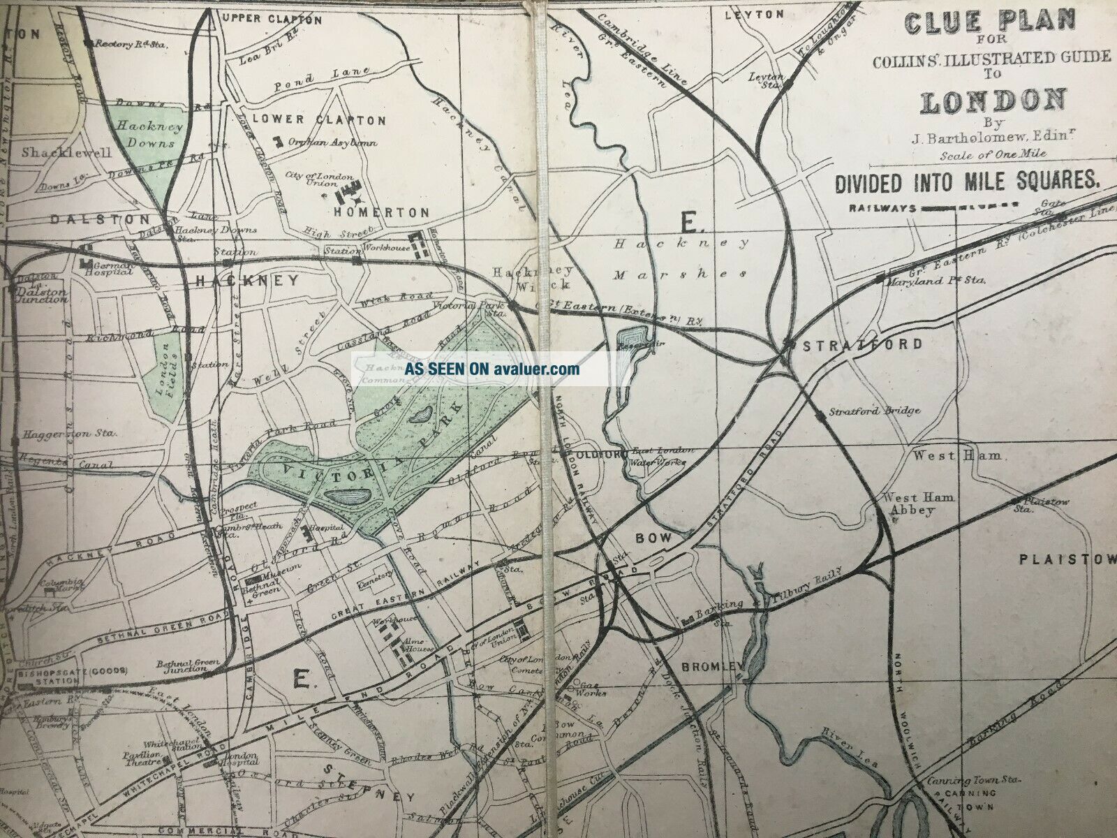
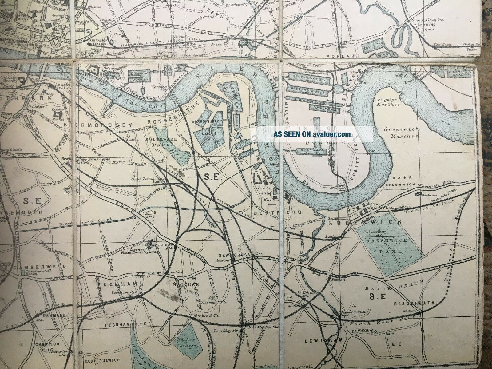
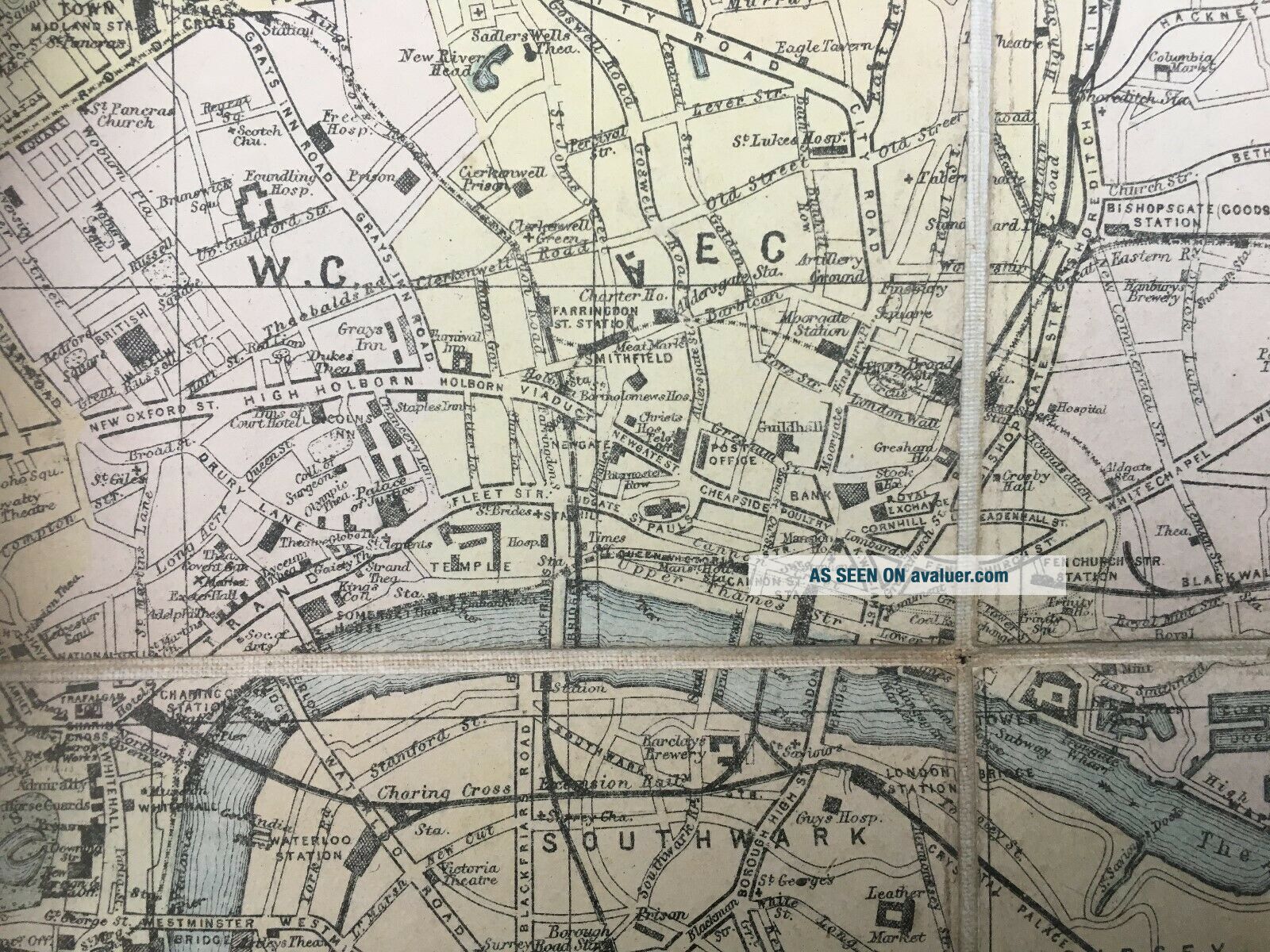
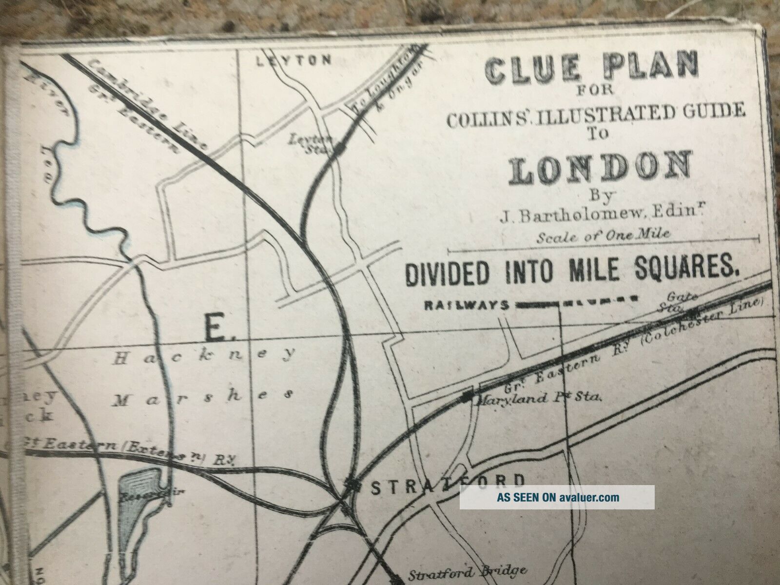
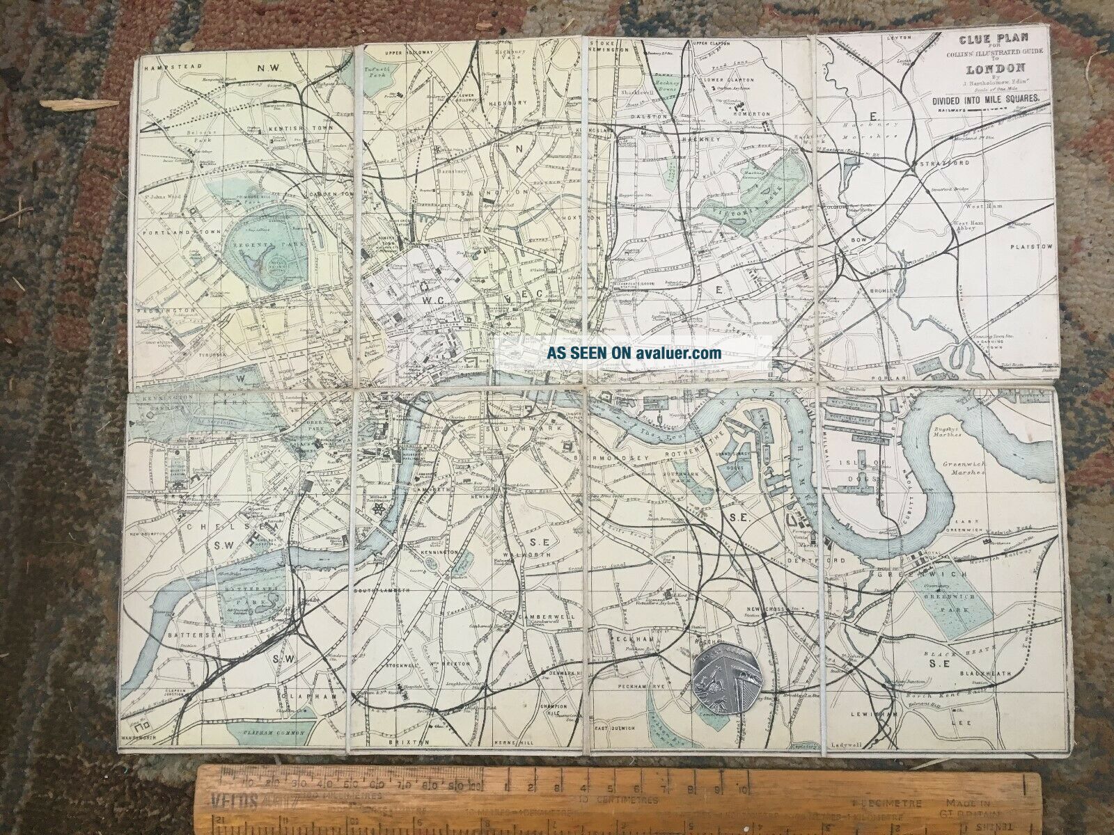
1874 Map. CLUE PLAN FOR COLLIN ' S ILLUSTRATED GUIDE TO LONDON By Bartholomew
Item History & Price
1874 folding map of London. hand coloured printed squares onto canvas. unfolded measures 36 x 28 cm. AUCTION STARTS AT £10

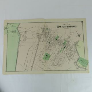
1874 Map Plan Of Hackettstown, Nj F. W. Beers Warren County 2 Page
Antique Map 1910 Fosse Hill Brandesburton Sandfield Vintage Plan For Display
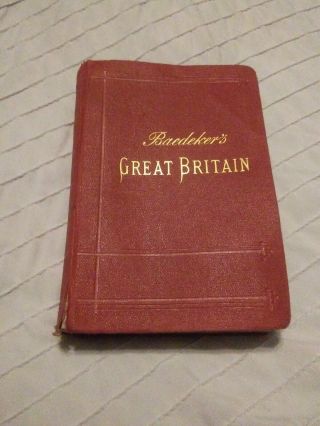
1906 Karl Baedeker ' S Great Britain Handbook For Travellers 22 Maps 58 Plans,
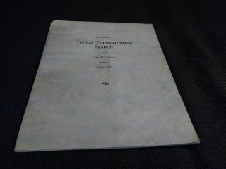
1927 Plan For Unified Transportation System Chicago Pre Cta L Subway Maps
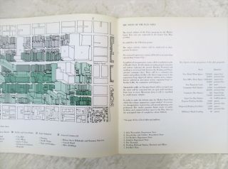
1948 A Plan For Cheshire Hardback Book Proposed Plans With Large County Map
1966 Renewal Plan For Market Street East, Philadelphia, Pa W/ Maps & Mockups
Baedeker ' S Northern Italy 1899 Handbook For Travellers 25 Maps & 35 Plans

Map Plans For The Land Star Wars Blueprints Disneyland Disney November 2017

Hungary & Romania 1579 (1584) Ortelius Unusual Antique Copper Engraved Map

Brussels Bruxelles Belfium 1777 De Ferraris & Dupuis Large Antique Map Sheet Xxi

1616 Atlas Map Of Iceland.

Kazan Russia 1767 Le Clerc/lespinasse Antique Copper Engraved City View

1899 Stanford, Folding Map Of Norwich, Norfolk, Arthur Collins, Jarrold & Sons,

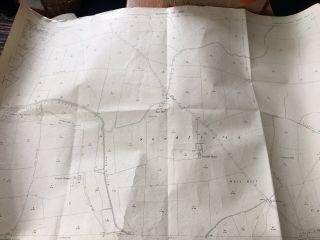
1948 Vintage Linen Colour Map Geological Survey Ten Mile Of Great Britain

1944 Map Flying Bombs Sussex Ww2 Newspaper Military Kent Courier German V1 V2

Dated 1638 Vellum Map Of Icklesham Sussex Showing Land Uses Owners Etc