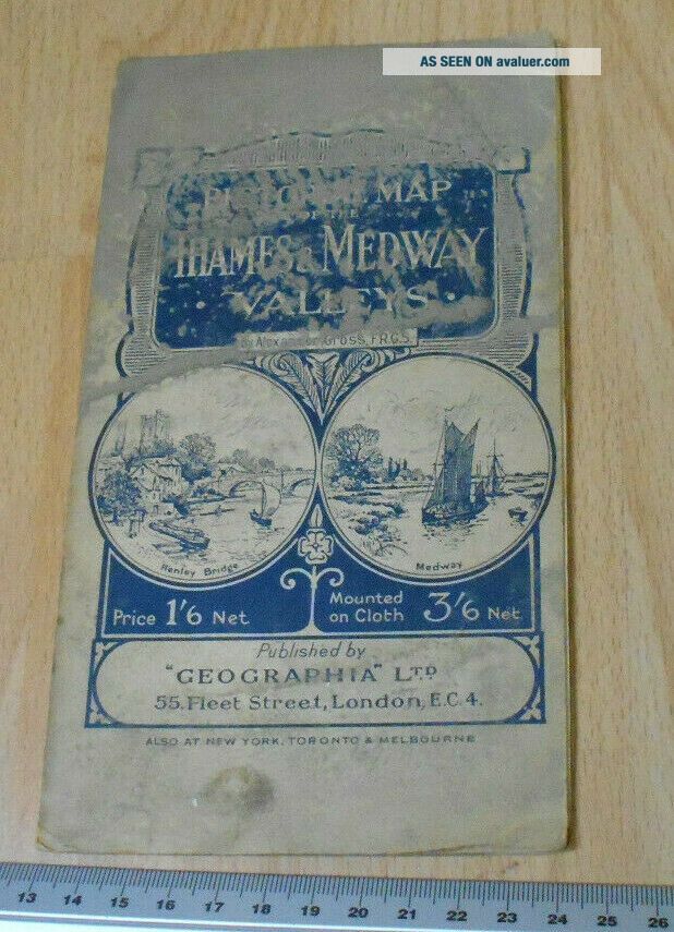
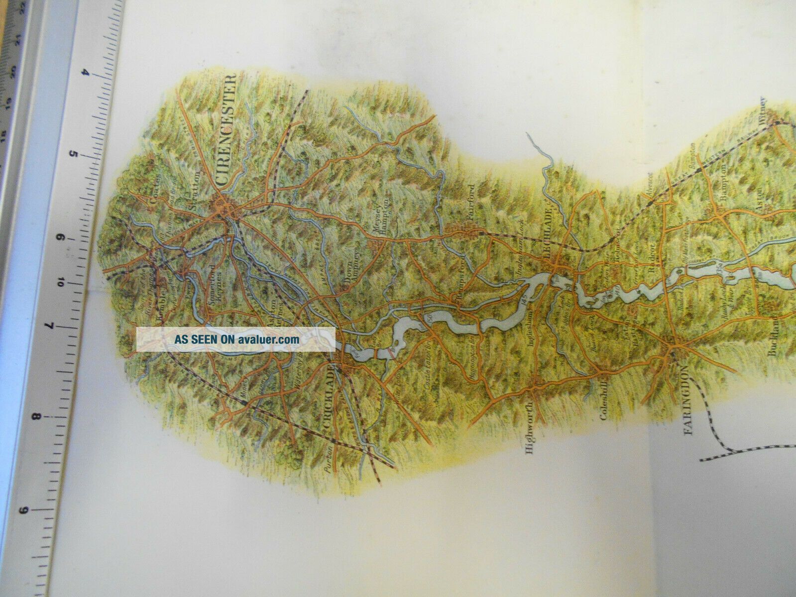
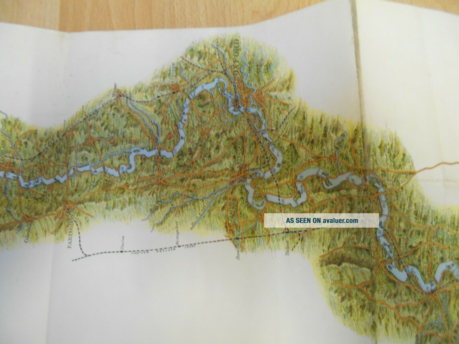
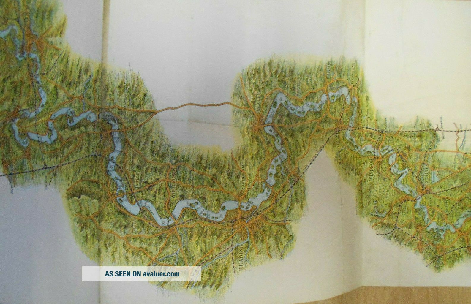
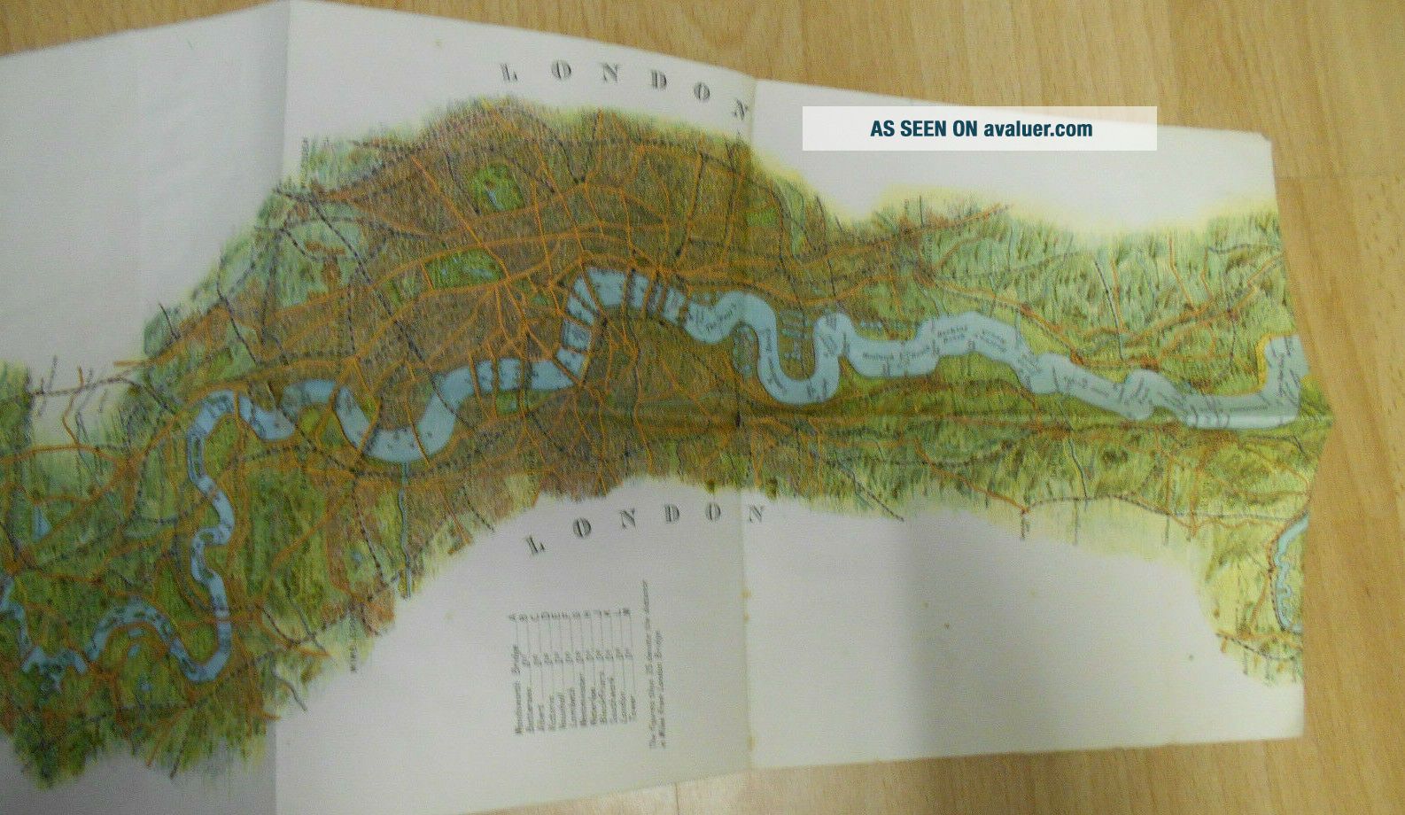
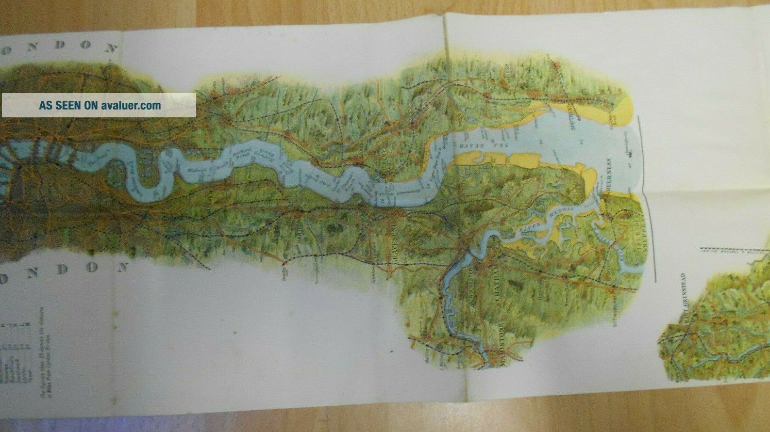
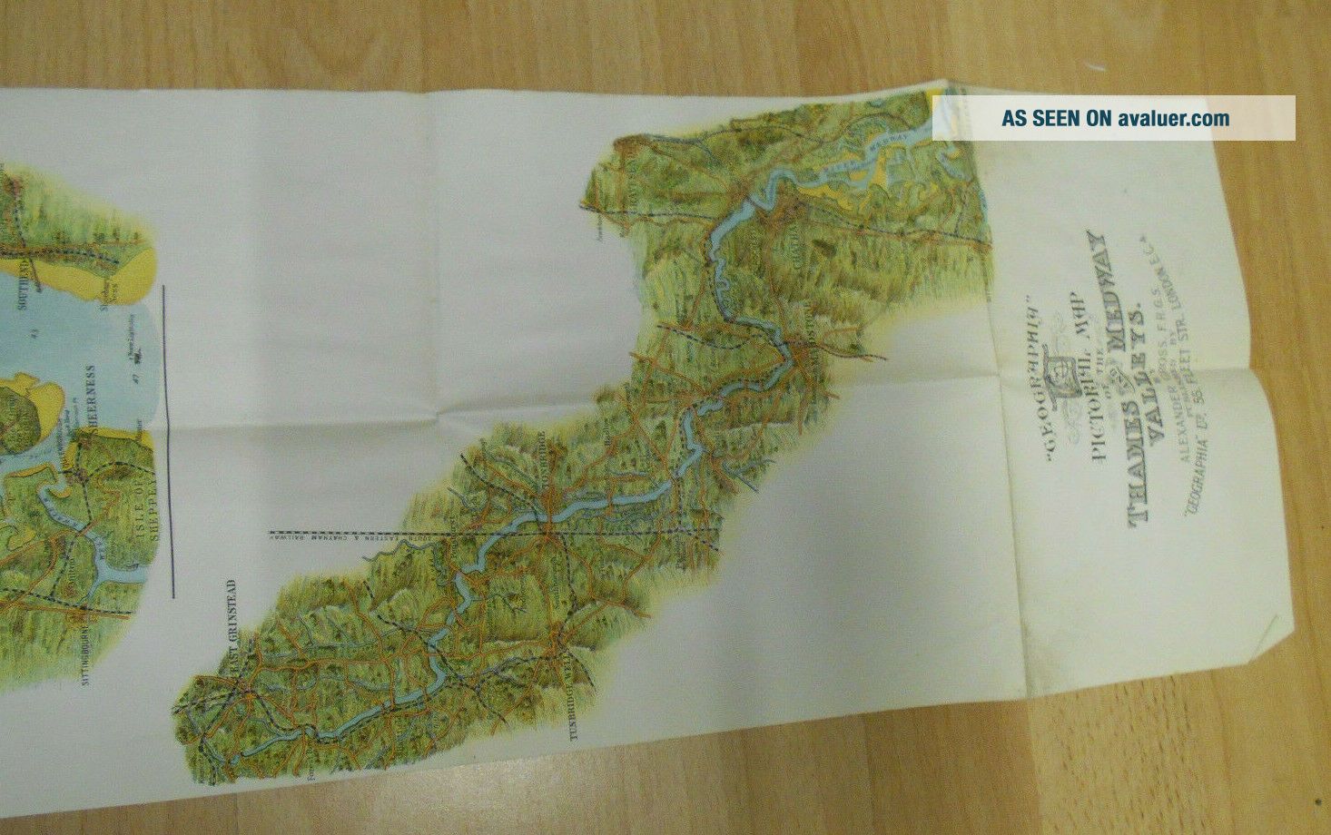
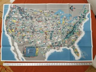
Pictorial Map Of The Thames & Medway Valleys By Alexander Gross. F. R. G. S


Item History & Price

Information:
Reference Number: Avaluer:35091
Original Description:
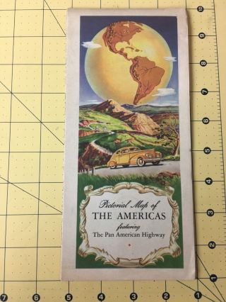
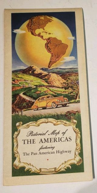
Pictorial Map of the Thames & Medway Valleys.by Alexander Gross F.R.G.SPublished by Geographia Ltd Fleet Street London
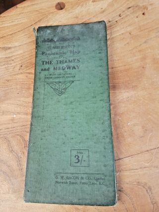
Please note, the front cover says Mounted on Cloth.The map is the correct map, but it is not mounted on cloth, it is a paper version.

Ruler for information only.Sorry no returns.
Free postage within UK only.
Item sold under Ebay's Global Shipping Program.Please check postage/shipping fees before placing a bid. ☺

...


    Similar items


  • Tomblesons Panaramic Map Of The Thames Medway

    Tomblesons Panaramic Map Of The Thames Medway

  • Tombleson

    Tombleson ' S Panoramic Map Of The Thames And Medway G. W. Bacon & Co C1880

  • Map A Pictorial Map Of The United States Elmer Jacobs

    Map A Pictorial Map Of The United States Elmer Jacobs

  • Pictorial Map Of The Republic Of Panama With The Canal Zone History Wall Poster

    Pictorial Map Of The Republic Of Panama With The Canal Zone History Wall Poster

  • Stanford

    Stanford ' S Map Of The Thames From Richmond To Lechlade

  • 1937 Historical Pictorial Map Of The Old Northwest Territory [18x23]

    1937 Historical Pictorial Map Of The Old Northwest Territory [18x23]

  • Vintage Brochure Pictorial Maps Of The Americas Featuring The Pan American Hwy

    Vintage Brochure Pictorial Maps Of The Americas Featuring The Pan American Hwy

  • 1930 Brochure Pictorial Maps Of The Americas Featuring The Pan American Hwy

    1930 Brochure Pictorial Maps Of The Americas Featuring The Pan American Hwy


    • You might also like


    • Hungary & Romania 1579 (1584) Ortelius Unusual Antique Copper Engraved Map

      Hungary & Romania 1579 (1584) Ortelius Unusual Antique Copper Engraved Map

    • Brussels Bruxelles Belfium 1777 De Ferraris & Dupuis Large Antique Map Sheet Xxi

      Brussels Bruxelles Belfium 1777 De Ferraris & Dupuis Large Antique Map Sheet Xxi

    • 1616 Atlas Map Of Iceland.

      1616 Atlas Map Of Iceland.

    • Kazan Russia 1767 Le Clerc/lespinasse Antique Copper Engraved City View

      Kazan Russia 1767 Le Clerc/lespinasse Antique Copper Engraved City View

    • 1899 Stanford,  Folding Map Of Norwich,  Norfolk,  Arthur Collins,  Jarrold & Sons,

      1899 Stanford, Folding Map Of Norwich, Norfolk, Arthur Collins, Jarrold & Sons,

    • 1948 Vintage Linen Colour Map Geological Survey Ten Mile Of Great Britain

      1948 Vintage Linen Colour Map Geological Survey Ten Mile Of Great Britain

    • 1944 Map Flying Bombs Sussex Ww2 Newspaper Military Kent Courier German V1 V2

      1944 Map Flying Bombs Sussex Ww2 Newspaper Military Kent Courier German V1 V2

    • Dated 1638 Vellum Map Of Icklesham Sussex Showing Land Uses Owners Etc

      Dated 1638 Vellum Map Of Icklesham Sussex Showing Land Uses Owners Etc

Avaluer          About Us          Privacy Policy          Contact Us          UP
© 2022, avaluer.net, Inc. or its affiliates