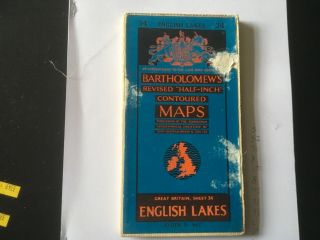
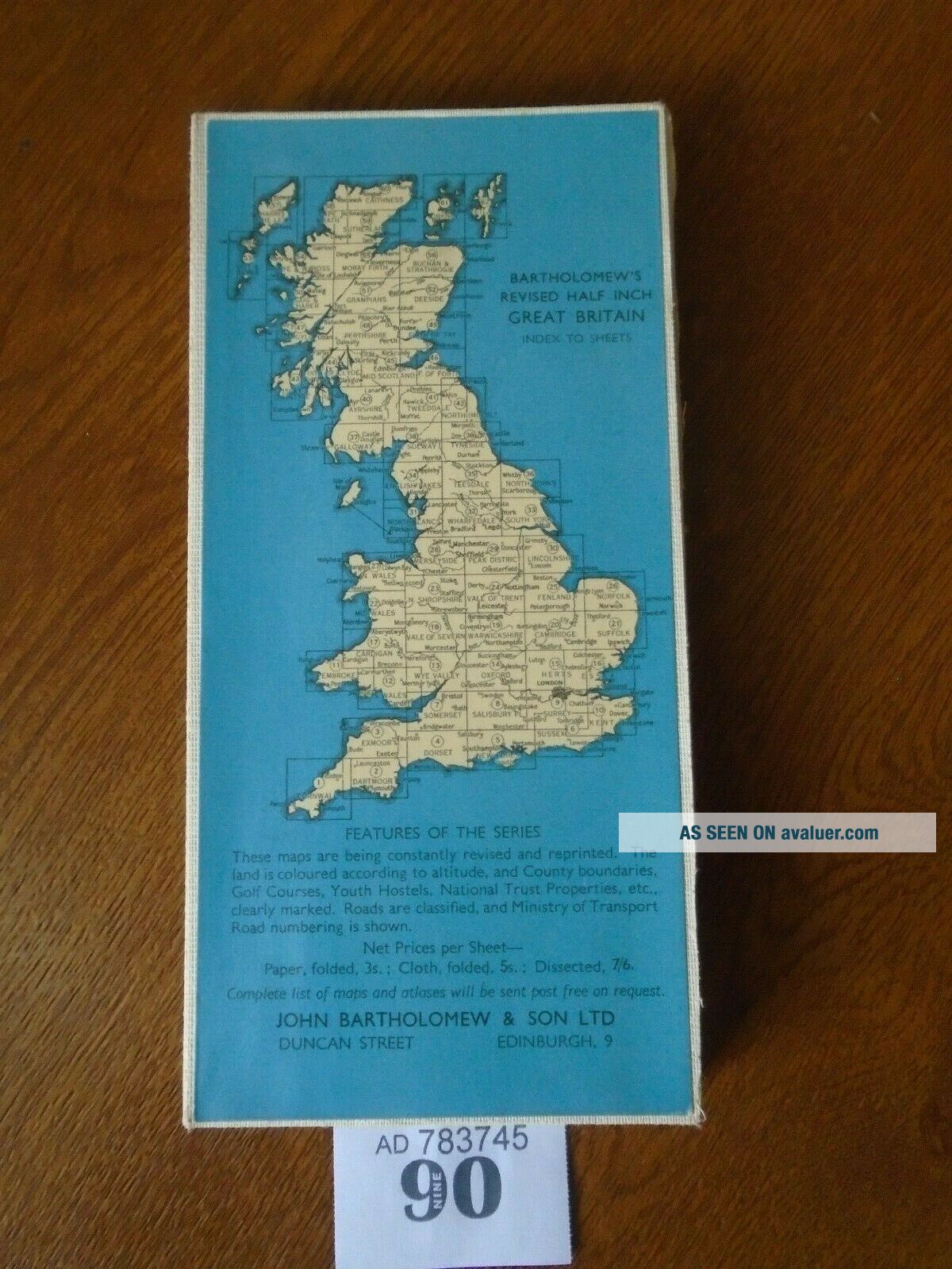
No. 34 ENGLISH LAKES / Lake District - Vintage Bartholomews Map - Half Inch CLOTH


Item History & Price

Information:
Reference Number: Avaluer:3900402County: Cumbria
Country/Region: EnglandFormat: Folding Map
Original Description:
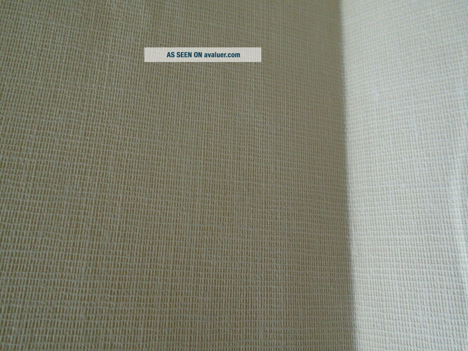
No.34 ENGLISH LAKES / Lake District - Vintage Bartholomews Map - Half Inch CLOTH --- In excellent vintage condition with no faults or issues, no fraying at all and back of cloth Map shows no discolouration and remains White unlike most of these type of Bartholomews Maps - COMBINED POST ON ALL MAPS / ALL ITEMS


    Similar items


  • Bartholomew

    Bartholomew ' S Revised " Half - Inch " Contoured Maps Sheet 34 English Lakes Cloth

  • Helvellyn English Lake District England Uk From Watercolour Edward Hobley C1910

    Helvellyn English Lake District England Uk From Watercolour Edward Hobley C1910

  • England Postcard Buttermere Lake And Village English Lake District Watercolor

    England Postcard Buttermere Lake And Village English Lake District Watercolor

  • The English Lake District Thorough Guides 13th Edition With All Maps Dustjacket

    The English Lake District Thorough Guides 13th Edition With All Maps Dustjacket

  • The English Lake District Fisheries By John Watson Bw Illus.  1925

    The English Lake District Fisheries By John Watson Bw Illus. 1925

  • Thorough Guide - English Lake District - 1886 - 4th Edition.  - 14 Maps/plans

    Thorough Guide - English Lake District - 1886 - 4th Edition. - 14 Maps/plans

  • Heron Glass Rare Mushroom Set - Gift Box - Made In English Lake District

    Heron Glass Rare Mushroom Set - Gift Box - Made In English Lake District

  • Heron Glass Mushroom - Set Of Four - Blue - Made In The English Lake District

    Heron Glass Mushroom - Set Of Four - Blue - Made In The English Lake District


    • You might also like


    • Hungary & Romania 1579 (1584) Ortelius Unusual Antique Copper Engraved Map

      Hungary & Romania 1579 (1584) Ortelius Unusual Antique Copper Engraved Map

    • Brussels Bruxelles Belfium 1777 De Ferraris & Dupuis Large Antique Map Sheet Xxi

      Brussels Bruxelles Belfium 1777 De Ferraris & Dupuis Large Antique Map Sheet Xxi

    • 1616 Atlas Map Of Iceland.

      1616 Atlas Map Of Iceland.

    • Kazan Russia 1767 Le Clerc/lespinasse Antique Copper Engraved City View

      Kazan Russia 1767 Le Clerc/lespinasse Antique Copper Engraved City View

    • 1899 Stanford,  Folding Map Of Norwich,  Norfolk,  Arthur Collins,  Jarrold & Sons,

      1899 Stanford, Folding Map Of Norwich, Norfolk, Arthur Collins, Jarrold & Sons,

    • 1948 Vintage Linen Colour Map Geological Survey Ten Mile Of Great Britain

      1948 Vintage Linen Colour Map Geological Survey Ten Mile Of Great Britain

    • 1944 Map Flying Bombs Sussex Ww2 Newspaper Military Kent Courier German V1 V2

      1944 Map Flying Bombs Sussex Ww2 Newspaper Military Kent Courier German V1 V2

    • Dated 1638 Vellum Map Of Icklesham Sussex Showing Land Uses Owners Etc

      Dated 1638 Vellum Map Of Icklesham Sussex Showing Land Uses Owners Etc

Avaluer          About Us          Privacy Policy          Contact Us          UP
© 2022, avaluer.net, Inc. or its affiliates