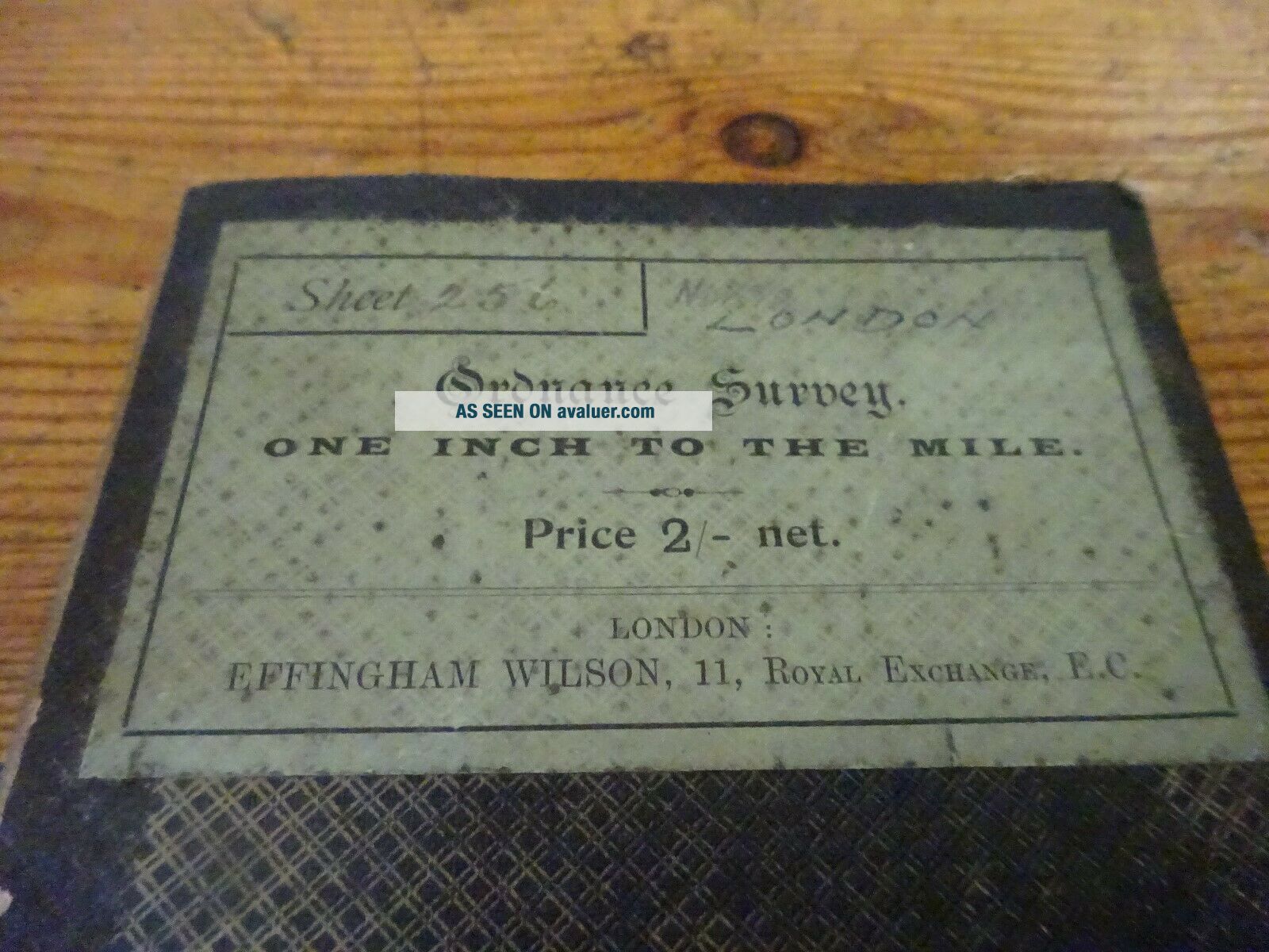
Vintage Cloth Ordnance Survey Map Of North London


Item History & Price
| Reference Number: Avaluer:3900557 |
Vintage cloth OS map with heavy wear.
I combine postage.
I combine postage.

| Reference Number: Avaluer:3900557 |
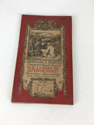
Vintage Cloth Ordnance Survey Map Of North East London & Epping Forest
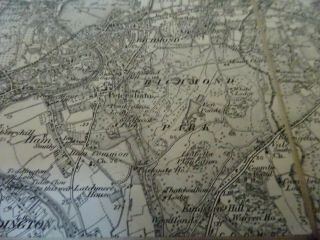
Vintage Cloth Ordnance Survey Map Of South London
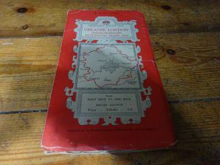
Vintage Cloth Ordnance Survey Map Of Greater London
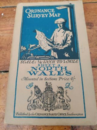
Vintage Cloth Ordnance Survey Map Of North Wales
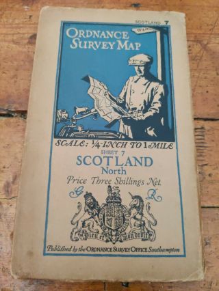
Vintage Cloth Ordnance Survey Map Of North Scotland
Vintage Cloth Ordnance Survey Map Of North West England Inc Leeds Scarborough
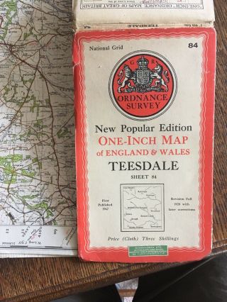
Vintage Cloth Ordnance Survey Map Of Tees Dale. Kirkby Stephen. 1940s
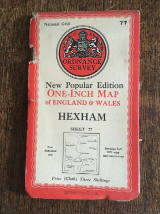
Vintage Cloth Ordnance Survey Map Of Hexham. 1947

Hungary & Romania 1579 (1584) Ortelius Unusual Antique Copper Engraved Map

Brussels Bruxelles Belfium 1777 De Ferraris & Dupuis Large Antique Map Sheet Xxi

1616 Atlas Map Of Iceland.

Kazan Russia 1767 Le Clerc/lespinasse Antique Copper Engraved City View

1899 Stanford, Folding Map Of Norwich, Norfolk, Arthur Collins, Jarrold & Sons,

1948 Vintage Linen Colour Map Geological Survey Ten Mile Of Great Britain

1944 Map Flying Bombs Sussex Ww2 Newspaper Military Kent Courier German V1 V2

Dated 1638 Vellum Map Of Icklesham Sussex Showing Land Uses Owners Etc