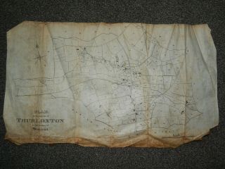
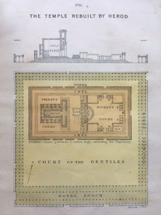
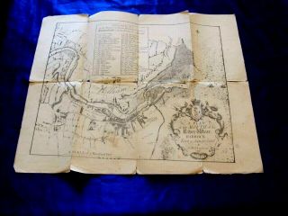
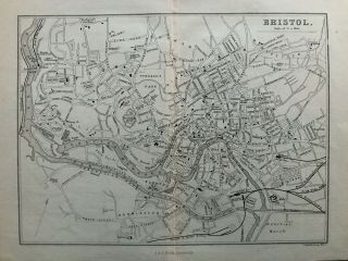
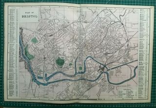
Antique Map / Plan Parish Of Stockland Bristol Cannington SOmerset


Item History & Price
Hi, and welcome to my auctions !
Please note that due to a number of buyers who think its acceptable to wait a week or more to pay, I must now ask for payment within two days of auction end. If you cannot pay within that time please contact me before bidding.
To the majority of buyers who pay promptly..THANKYOU !
Please note: All Overseas items will be sent with tracking irrespective of value
Following Ebays recommendations I have extended my de...spatch times to make allowances for the current situation
I would normally send within 3 days but have stated 5 days to take into acount courier availability. Depending on the day you purchase the item it may well go out next day
I believe Tithe Map / Plan or for prospective buyersc mid 1800's
Approx 25 x 13 inches
Some staining and edge damage
Appears to be thin Vellum
Will send folded
I Normally send within 3 working days of cleared paymentThankyou for looking