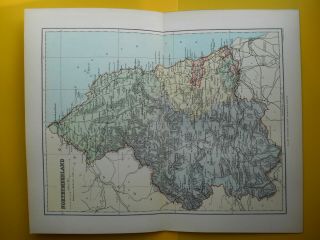
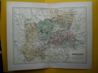
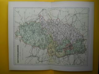
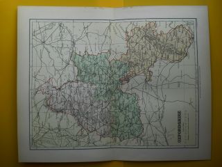
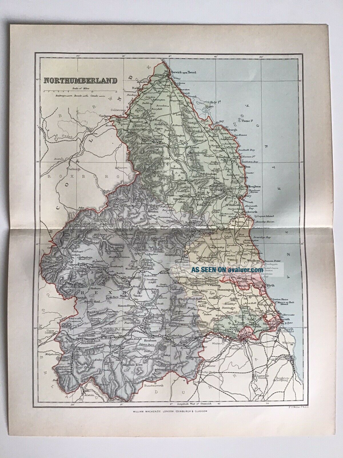
NORTHUMBERLAND C1891 Antique County Map F. S. Weller, England Atlas


Item History & Price

Information:
Reference Number: Avaluer:48199771Year: 1891
Type: County MapMap Type: City, Ordnance Survey, Regional/ Local, Roads/ Trails/ Travel
Original/Reproduction: Antique OriginalFormat: Road Atlas/ Map
Antique/ Modern: AntiqueCounty: Northumberland
Country/Region: EnglandRegion: UK
Original Description:
Thank you for looking at this original antique map.
Date:c1891
Size: 10 x 12.75
Condition:good, could be a small split at the fold line.We provide quality photographs and these should studied as they formpart of the description.
Verso:Your item is blank on the reverse
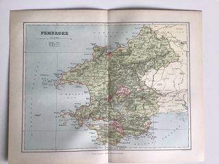
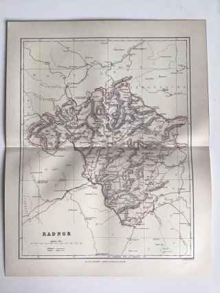
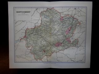
Notes: saved from a disbound atlasLoc: p12, England & Wales


    Similar items


  • Pembrokeshire C1891 Antique County Map F.  S.  Weller,  Wales Atlas

    Pembrokeshire C1891 Antique County Map F. S. Weller, Wales Atlas

  • Radnorshire C1891 Antique County Map F.  S.  Weller,  Wales Atlas

    Radnorshire C1891 Antique County Map F. S. Weller, Wales Atlas

  • Northumberland County Map - F S Weller Map 1895 Fine Detail Coloured

    Northumberland County Map - F S Weller Map 1895 Fine Detail Coloured

  • Montgomery Wales County Map - F S Weller C1895 Coloured Fine Detail

    Montgomery Wales County Map - F S Weller C1895 Coloured Fine Detail

  • Middlesex County Map - F S Weller Map 1895 Fine Detail Coloured

    Middlesex County Map - F S Weller Map 1895 Fine Detail Coloured

  • Isle Of Man County Map - F S Weller Map 1895 Fine Detail Coloured

    Isle Of Man County Map - F S Weller Map 1895 Fine Detail Coloured

  • Nottinghamshire County Map - F S Weller Map 1895 Fine Detail Coloured

    Nottinghamshire County Map - F S Weller Map 1895 Fine Detail Coloured

  • Oxfordshire County Map - F S Weller Map 1895 Fine Detail Coloured

    Oxfordshire County Map - F S Weller Map 1895 Fine Detail Coloured


    • You might also like


    • Hungary & Romania 1579 (1584) Ortelius Unusual Antique Copper Engraved Map

      Hungary & Romania 1579 (1584) Ortelius Unusual Antique Copper Engraved Map

    • Brussels Bruxelles Belfium 1777 De Ferraris & Dupuis Large Antique Map Sheet Xxi

      Brussels Bruxelles Belfium 1777 De Ferraris & Dupuis Large Antique Map Sheet Xxi

    • 1616 Atlas Map Of Iceland.

      1616 Atlas Map Of Iceland.

    • Kazan Russia 1767 Le Clerc/lespinasse Antique Copper Engraved City View

      Kazan Russia 1767 Le Clerc/lespinasse Antique Copper Engraved City View

    • 1899 Stanford,  Folding Map Of Norwich,  Norfolk,  Arthur Collins,  Jarrold & Sons,

      1899 Stanford, Folding Map Of Norwich, Norfolk, Arthur Collins, Jarrold & Sons,

    • 1948 Vintage Linen Colour Map Geological Survey Ten Mile Of Great Britain

      1948 Vintage Linen Colour Map Geological Survey Ten Mile Of Great Britain

    • 1944 Map Flying Bombs Sussex Ww2 Newspaper Military Kent Courier German V1 V2

      1944 Map Flying Bombs Sussex Ww2 Newspaper Military Kent Courier German V1 V2

    • Dated 1638 Vellum Map Of Icklesham Sussex Showing Land Uses Owners Etc

      Dated 1638 Vellum Map Of Icklesham Sussex Showing Land Uses Owners Etc

Avaluer          About Us          Privacy Policy          Contact Us          UP
© 2022, avaluer.net, Inc. or its affiliates