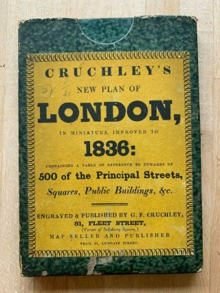
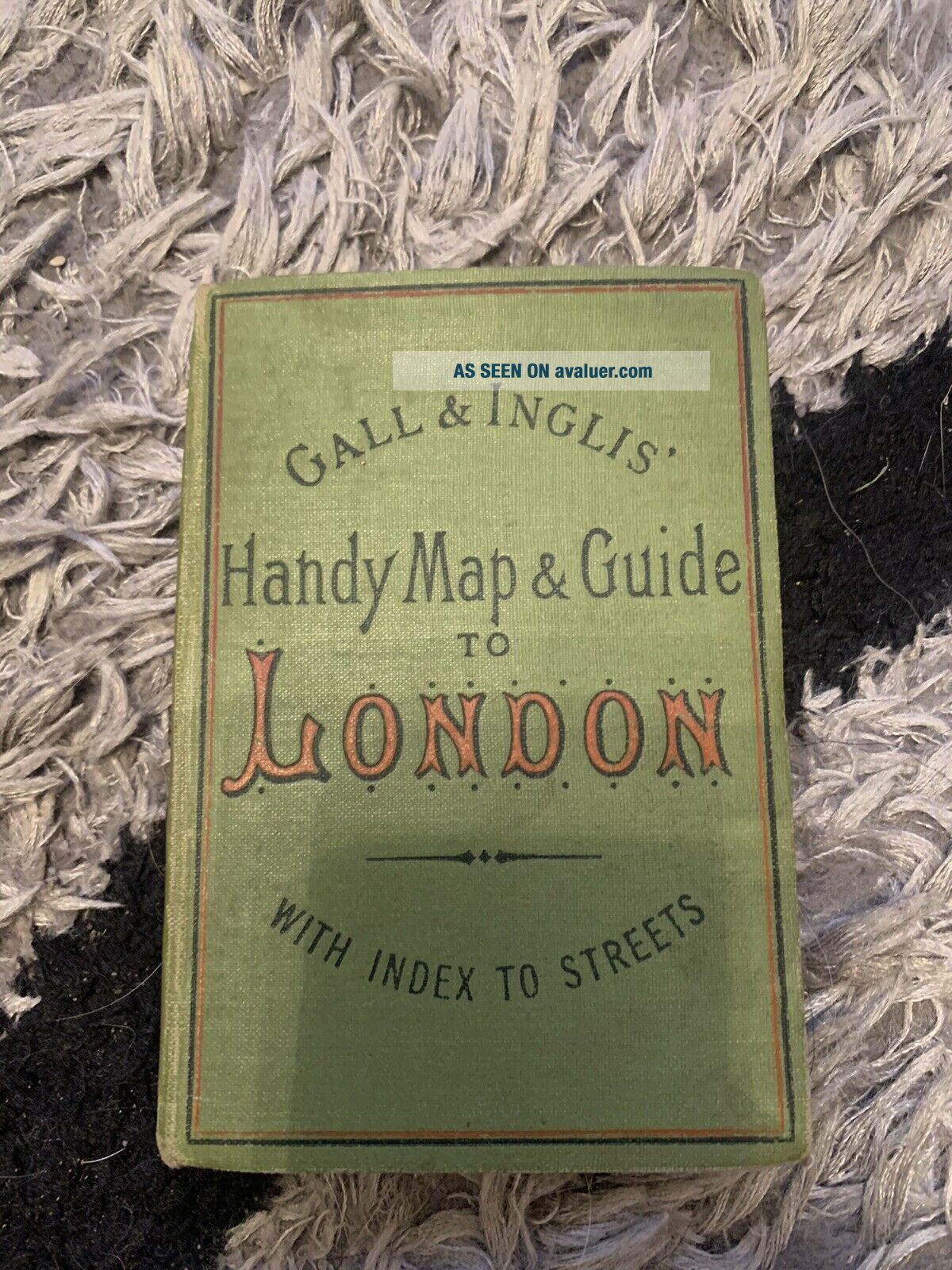
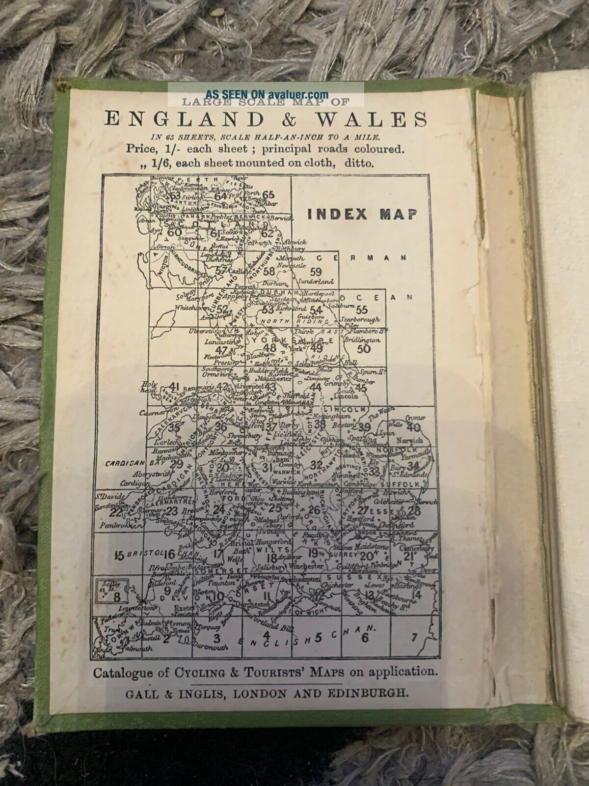
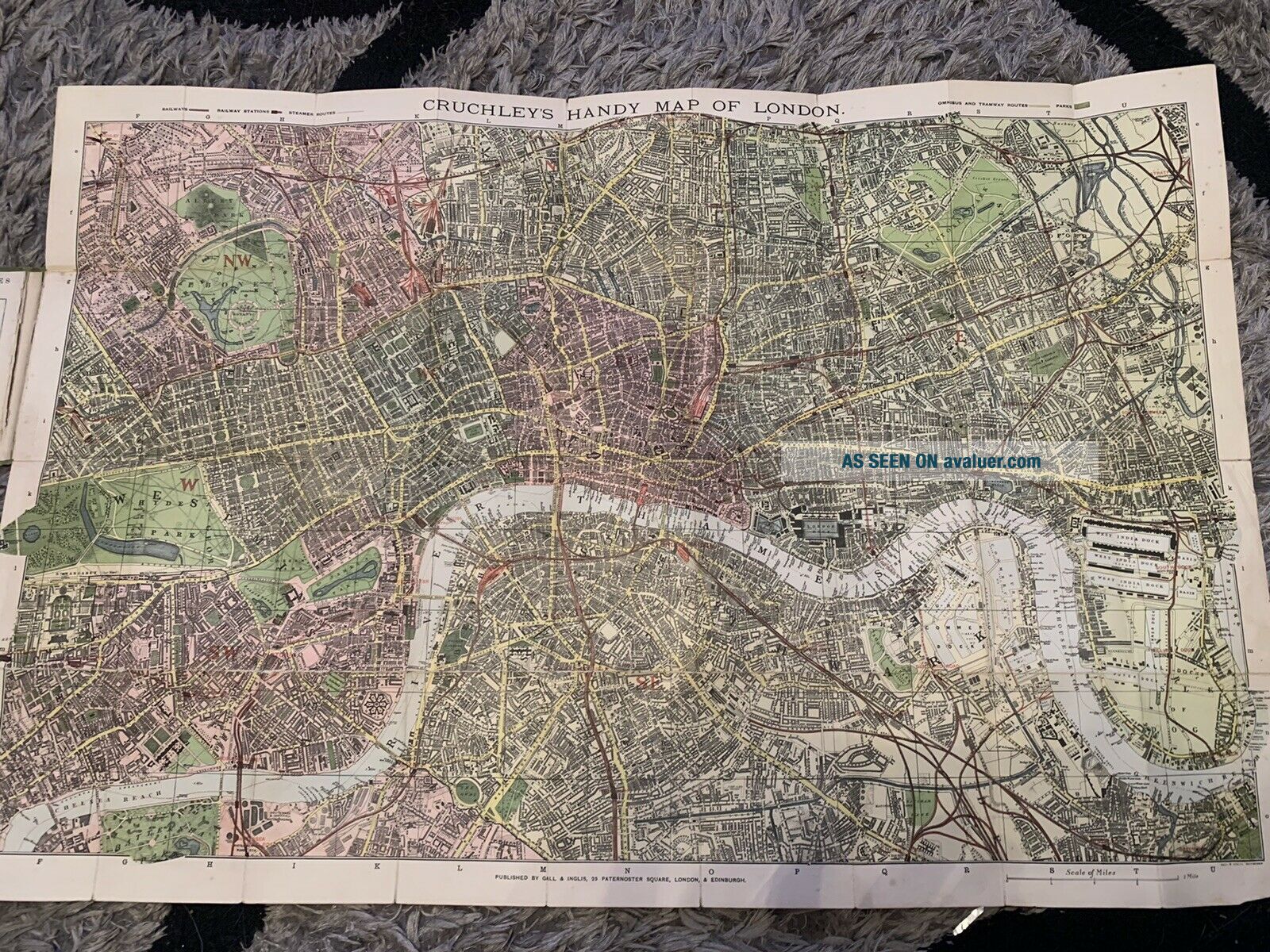
Rare CRUCHLEY ' S MAP OF LONDON BY GALL & INGLIS LARGE FOLDING MAP,


Item History & Price

Information:
Reference Number: Avaluer:48235199Format: Folding Map
Type: County MapYear: 1878
Original/Reproduction: Antique OriginalCounty: London, Surrey
Date Range: 1800-1899Era: 1800s
City: LondonCartographer/Publisher: George Cruchley
Country/Region: England, United Kingdom
Original Description:
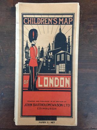
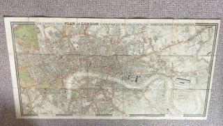
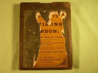
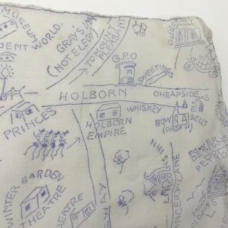
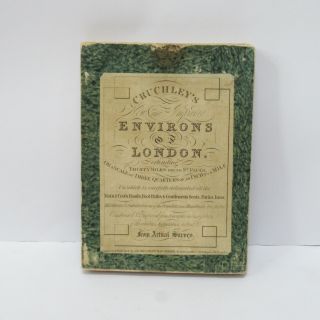
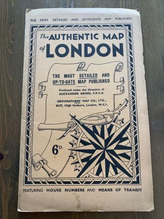
Here I have a Rare CRUCHLEY'S MAP OF LONDON BY GALL & INGLIS LARGE FOLDING MAP up for bid
Map is in lovely condition
Maps mounted on cloth
Please see photos
Any questions please ask


    Similar items


  • Vintage Rare Children

    Vintage Rare Children ' S Map Of London C. 1938 Bartholomew & Son

  • Rare 1945 A Sailor’s Map Of Nantucket By R.  Newton Mayall

    Rare 1945 A Sailor’s Map Of Nantucket By R. Newton Mayall

  • Cruchley’s Plan Of London Dated 1829 Fold Out Engraved Map

    Cruchley’s Plan Of London Dated 1829 Fold Out Engraved Map

  • Cruchley

    Cruchley ' S Environs Of London With Additions To 1841 Antique Folding Map On Clot

  • Cruchley

    Cruchley ' S Plan Of London Map 1836, Antique Map Of London

  • Rare Vintage Pictorial Map Of London On 50’s Chiffon Scarf - Amusing Comments

    Rare Vintage Pictorial Map Of London On 50’s Chiffon Scarf - Amusing Comments

  • Vintage Cruchley

    Vintage Cruchley ' S Environs Of London Extending Foldaway Map Thirty Miles 1827

  • The Authentic Map Of London By Alexander Gross Vintage 1920’s 30’s

    The Authentic Map Of London By Alexander Gross Vintage 1920’s 30’s


    • You might also like


    • Hungary & Romania 1579 (1584) Ortelius Unusual Antique Copper Engraved Map

      Hungary & Romania 1579 (1584) Ortelius Unusual Antique Copper Engraved Map

    • Brussels Bruxelles Belfium 1777 De Ferraris & Dupuis Large Antique Map Sheet Xxi

      Brussels Bruxelles Belfium 1777 De Ferraris & Dupuis Large Antique Map Sheet Xxi

    • 1616 Atlas Map Of Iceland.

      1616 Atlas Map Of Iceland.

    • Kazan Russia 1767 Le Clerc/lespinasse Antique Copper Engraved City View

      Kazan Russia 1767 Le Clerc/lespinasse Antique Copper Engraved City View

    • 1899 Stanford,  Folding Map Of Norwich,  Norfolk,  Arthur Collins,  Jarrold & Sons,

      1899 Stanford, Folding Map Of Norwich, Norfolk, Arthur Collins, Jarrold & Sons,

    • 1948 Vintage Linen Colour Map Geological Survey Ten Mile Of Great Britain

      1948 Vintage Linen Colour Map Geological Survey Ten Mile Of Great Britain

    • 1944 Map Flying Bombs Sussex Ww2 Newspaper Military Kent Courier German V1 V2

      1944 Map Flying Bombs Sussex Ww2 Newspaper Military Kent Courier German V1 V2

    • Dated 1638 Vellum Map Of Icklesham Sussex Showing Land Uses Owners Etc

      Dated 1638 Vellum Map Of Icklesham Sussex Showing Land Uses Owners Etc

Avaluer          About Us          Privacy Policy          Contact Us          UP
© 2022, avaluer.net, Inc. or its affiliates