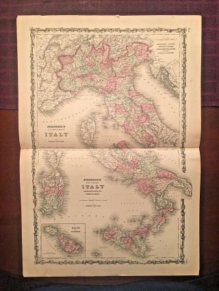
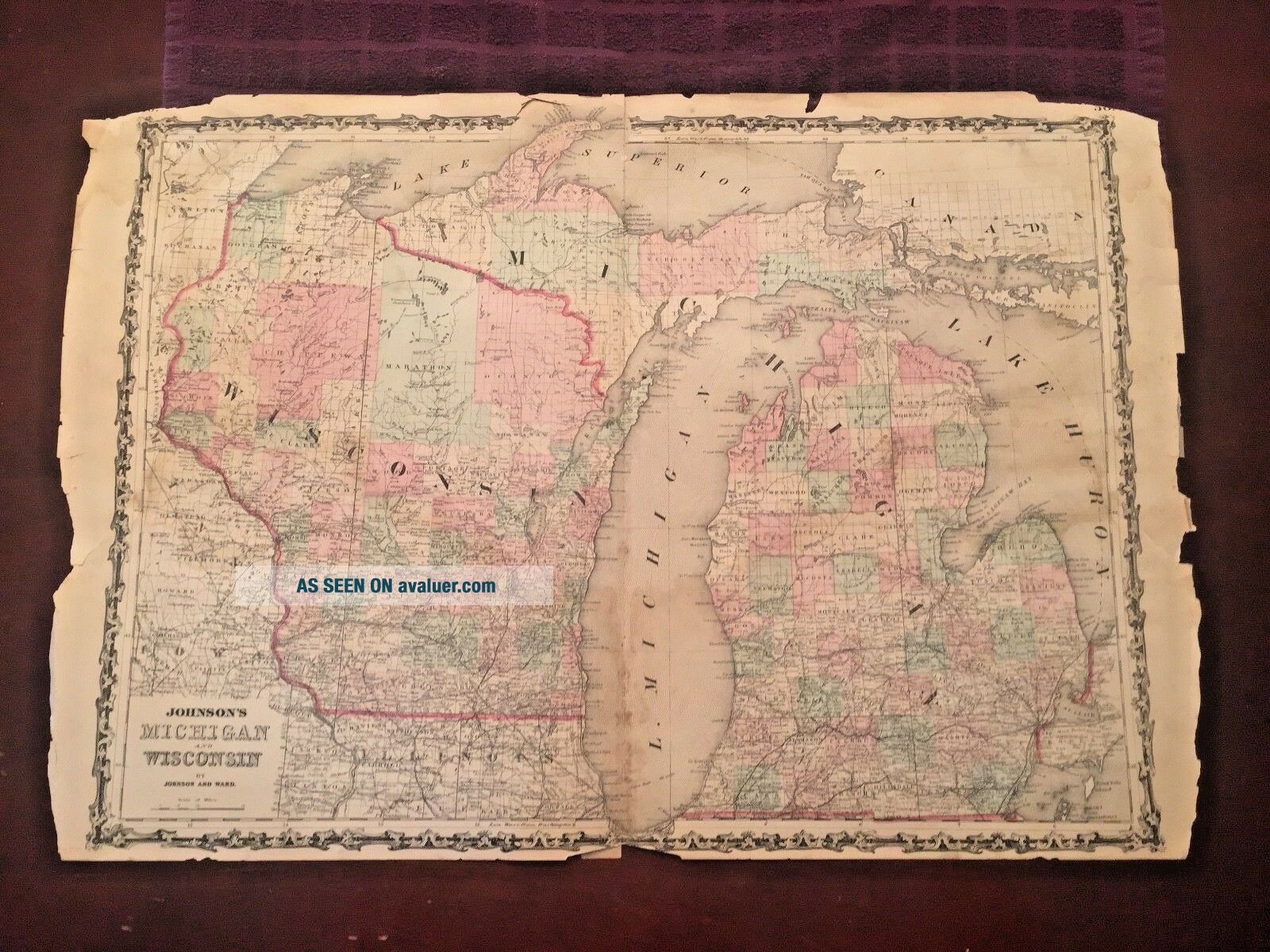
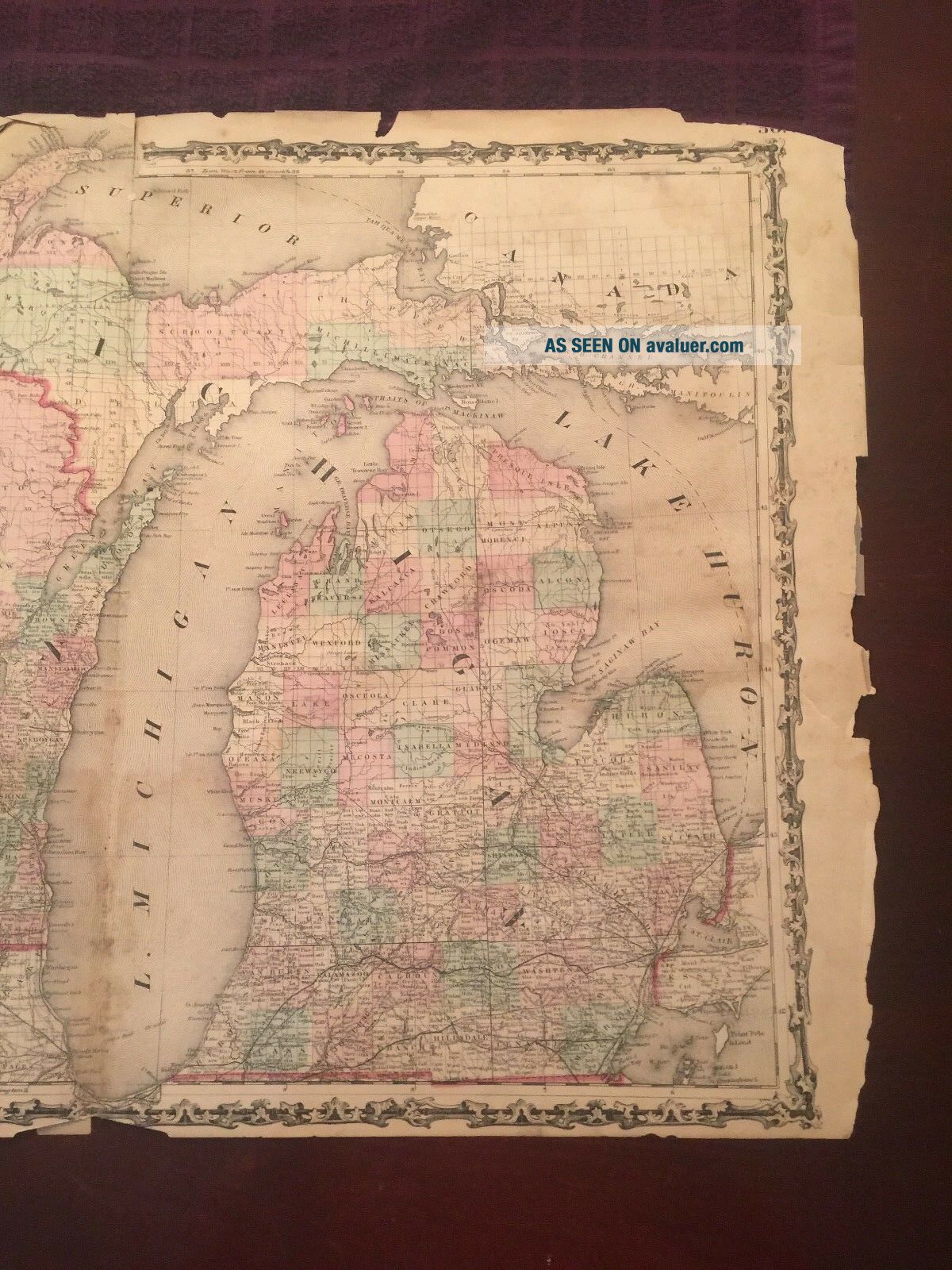
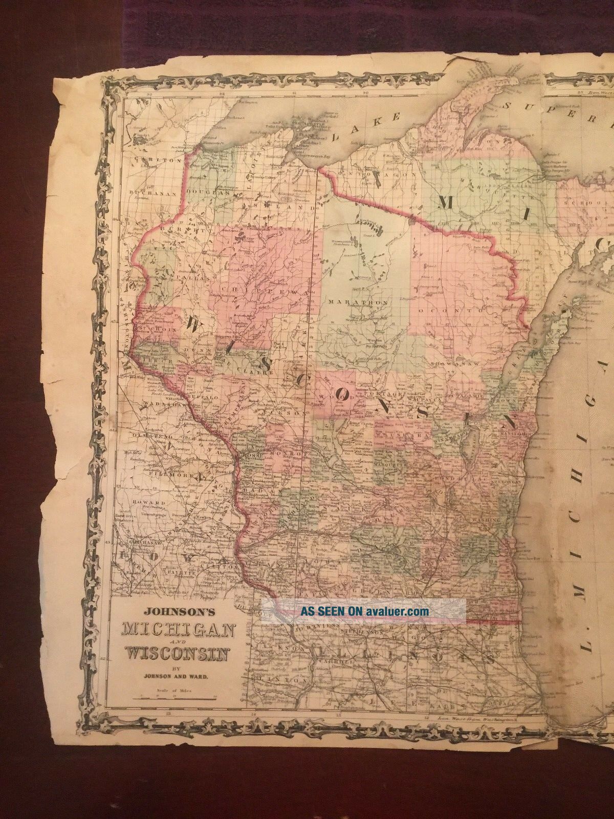
1863 Johnson And Ward Hand Colored Atlas Map Of MICHIGAN AND WISCONSIN
Item History & Price
| Reference Number: Avaluer:48248876 |
Beautiful historical 1863 Johnson and Ward atlas map of WISCONSIN and WISCONSIN.
It's approximately 26 1/2" x 18", is nicely hand colored & historically detailed. The actual map area covers approximately 23" x 16". It's in acceptable condition with a small tear running along the middle seam beginning at the top of the Map that runs about 2". There are tears, rips and some small missing areas along the outside boarder areas. There is some discoloration along the seam ...in the middle of the Map, top corners and slight patches in a couple of other areas. Other small dings and slight tears here and there.
Note title and copyright photos are shown as a reference and not included in the sale although a copy can be sent upon request.
With the BEAUTIFUL detail of the hand coloring and intricate Map boarder; this Historical Map would look great in a frame to add to your office, den or anywhere in your House!
Please see my store for other great items and please email me with any questions!
Inventory D-1