Rare Stansbury Atlas Map Of The Great Salt Lake Utah & Area From Leavenworth


Item History & Price

Information:
Reference Number: Avaluer:48259487
Original Description:
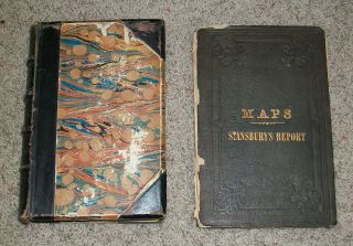
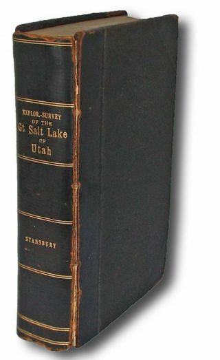
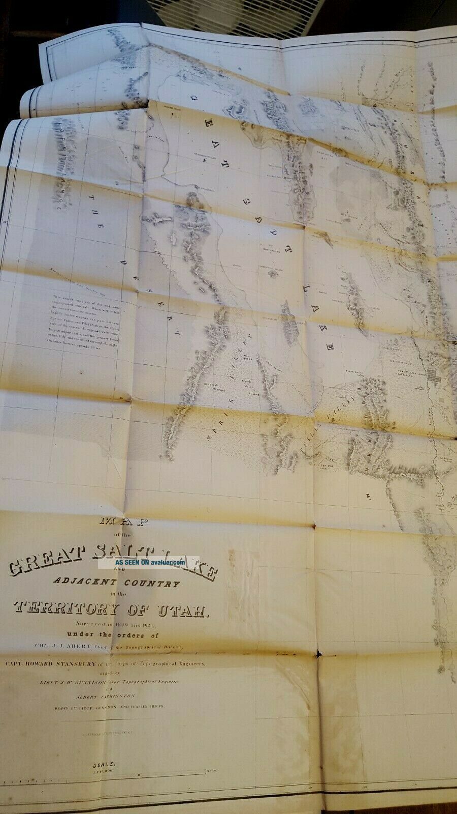
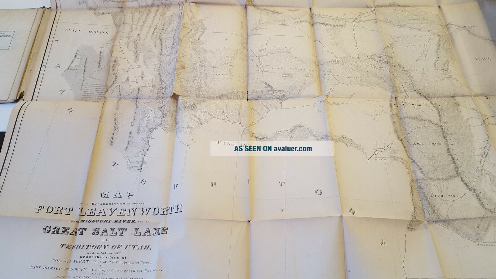
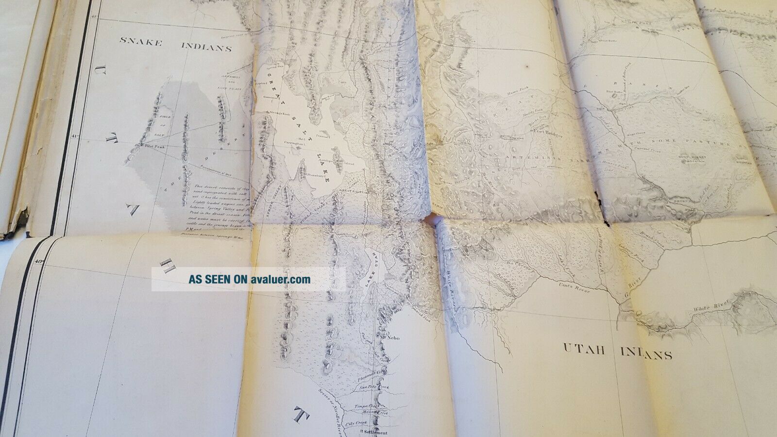
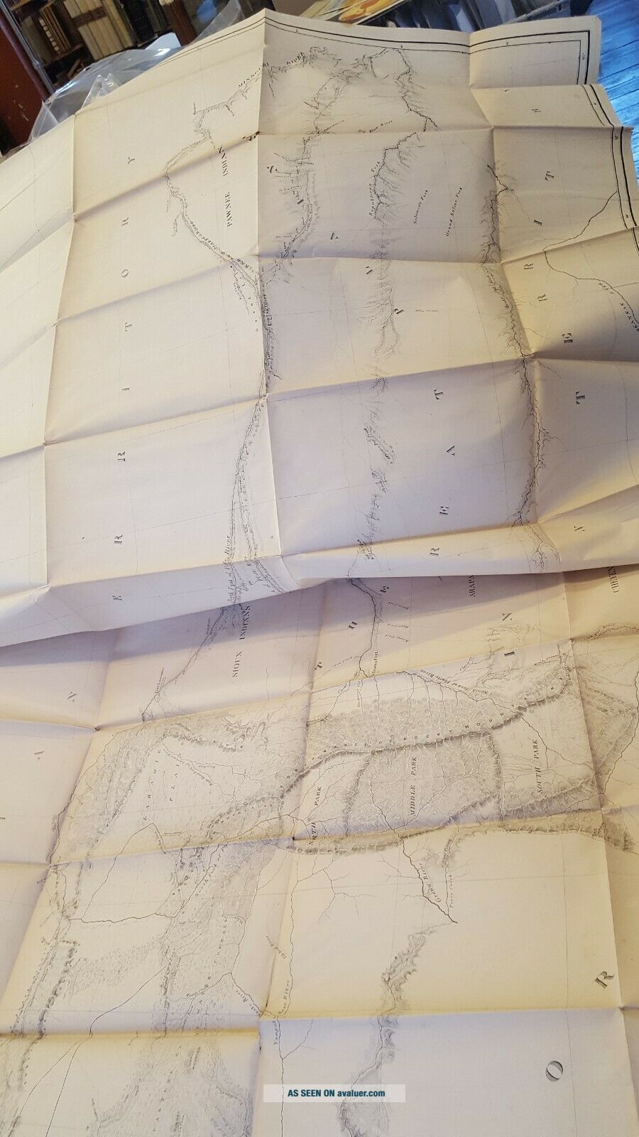
EXPLORATION And SURVEY Of The VALLEY Of The GREAT SALT LAKE OF UTAH, Including a Reconnaissance of a New Route Through the Rocky Mountains. Atlas only. Includes 2 maps. One of the Great Salt Lake and the other Map of a Reconnaissance between Ft. Leavenworth, on the Missouri River, and the Great Salt Lake in the Territory. Good condition with folds and minor tears. Circa 1850's.
Please note that the Post Office has slowed down its deliveries, especially media mail. We ...do offer priority mail options.


00086


    Similar items


  • 1852 Exploration And Survey Of The Great Salt Lake Utah Stansbury Rare W/ Maps

    1852 Exploration And Survey Of The Great Salt Lake Utah Stansbury Rare W/ Maps

  • Howard Stansbury / Exploration And Survey Of The Valley Of The Great Salt 1853

    Howard Stansbury / Exploration And Survey Of The Valley Of The Great Salt 1853

  • Edward Stanford London Atlas Map Of The Nile Valley Rare

    Edward Stanford London Atlas Map Of The Nile Valley Rare

  • Rare Vintage 1878 Atlas Map Of The World Old & Authentic S&h

    Rare Vintage 1878 Atlas Map Of The World Old & Authentic S&h

  • Ww1 (1918) Rare British Relief Map Of The Somme - Inc Thiepval Etc.  (sheet 57d)

    Ww1 (1918) Rare British Relief Map Of The Somme - Inc Thiepval Etc. (sheet 57d)

  • Rare Vintage 1872 Atlas Map Of The World Old & Authentic S&h

    Rare Vintage 1872 Atlas Map Of The World Old & Authentic S&h

  • Rare Vintage 1883 Atlas Map Of The World Old Authentic S&h

    Rare Vintage 1883 Atlas Map Of The World Old Authentic S&h

  • 1923 Tokyo Map Of The Great Kanto Earthquake Map Fire Damage

    1923 Tokyo Map Of The Great Kanto Earthquake Map Fire Damage


    • You might also like


    • 1860 Mitchell Hand Colored Map Colorado,  Nebraska & Kansas - Civil War Era

      1860 Mitchell Hand Colored Map Colorado, Nebraska & Kansas - Civil War Era

    • 18th Century French Map Of North America

      18th Century French Map Of North America

    • Las Vegas Nevada Vintage 1967 Us Geological Survey Quadrangle Map 4 Panels

      Las Vegas Nevada Vintage 1967 Us Geological Survey Quadrangle Map 4 Panels

    • Rare Antique 1845 Maps United States Exploring Expedition Book Antartica Hawaii

      Rare Antique 1845 Maps United States Exploring Expedition Book Antartica Hawaii

    • Vintage 1926 Map Hollywood From The Best Surveys Of The Time

      Vintage 1926 Map Hollywood From The Best Surveys Of The Time

    • American Continent (western Hemisphere) 1747 Bowen Antique Copper Engraved Map

      American Continent (western Hemisphere) 1747 Bowen Antique Copper Engraved Map

    • Gulf Coast Florida Texas United States 1705 De Fer Unusual Antique Engraved Map

      Gulf Coast Florida Texas United States 1705 De Fer Unusual Antique Engraved Map

    • California As Island United States 1700 De Fer Unusual First Edition Antique Map

      California As Island United States 1700 De Fer Unusual First Edition Antique Map

Avaluer          About Us          Privacy Policy          Contact Us          UP
© 2022, avaluer.net, Inc. or its affiliates