Vintage Large Highway Map Of Plymouth County Massachusetts 1957


Item History & Price

Information:
Reference Number: Avaluer:48259560Type: County Map
Year: 1957US State: Massachusetts
Original Description:
Here is a Vintage Large Highway Map Of Plymouth County Massachusetts from 1957. It was made by Lewis W. Perkins County ENG’R Hingham Mass. Published by Leo F. Nourse. It is 24” wide and 44” high. Has been rolled for many years. Neat collectible. Nice to frame.


    Similar items


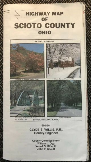
  • Highway Map Of Scioto County Ohio 1994 - 1995 Vintage Collector

    Highway Map Of Scioto County Ohio 1994 - 1995 Vintage Collector ' S Map Portsmouth
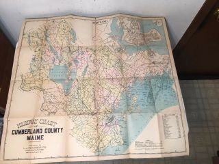
  • Large Antique Map Of Cumberland County Maine 1900 Portland Highways
    Large Antique Map Of Cumberland County Maine 1900 Portland Highways

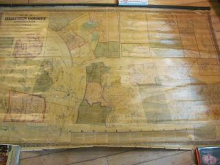
  • Antique Large Henry F.  Walling 1855 Map Of Hampden County,  Massachusetts.
    Antique Large Henry F. Walling 1855 Map Of Hampden County, Massachusetts.

  • Vintage Hagstrom Atlas Map Of Hunterdon County Nj 1996 Paperback
    Vintage Hagstrom Atlas Map Of Hunterdon County Nj 1996 Paperback

  • Large Foldout Map Of Ulster County,  Ny Woodstock Kingston Paltz Etc.  1954

    Large Foldout Map Of Ulster County, Ny Woodstock Kingston Paltz Etc. 1954

  • Vintage 1950s Highway Map Of Montana,  Chevron Supreme,  Great Retro Graphics

    Vintage 1950s Highway Map Of Montana, Chevron Supreme, Great Retro Graphics

  • Vintage 1988 Edition Map Of Oakland County With Pontiac Pathfinder Publications

    Vintage 1988 Edition Map Of Oakland County With Pontiac Pathfinder Publications

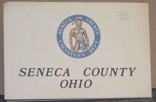
  • 1985 Highway Map Of Seneca County,  Ohio With Street Maps Of The Larger Towns

    1985 Highway Map Of Seneca County, Ohio With Street Maps Of The Larger Towns


    • You might also like


    • 1860 Mitchell Hand Colored Map Colorado,  Nebraska & Kansas - Civil War Era

      1860 Mitchell Hand Colored Map Colorado, Nebraska & Kansas - Civil War Era

    • 18th Century French Map Of North America

      18th Century French Map Of North America

    • Las Vegas Nevada Vintage 1967 Us Geological Survey Quadrangle Map 4 Panels

      Las Vegas Nevada Vintage 1967 Us Geological Survey Quadrangle Map 4 Panels

    • Rare Antique 1845 Maps United States Exploring Expedition Book Antartica Hawaii

      Rare Antique 1845 Maps United States Exploring Expedition Book Antartica Hawaii

    • Vintage 1926 Map Hollywood From The Best Surveys Of The Time

      Vintage 1926 Map Hollywood From The Best Surveys Of The Time

    • American Continent (western Hemisphere) 1747 Bowen Antique Copper Engraved Map

      American Continent (western Hemisphere) 1747 Bowen Antique Copper Engraved Map

    • Gulf Coast Florida Texas United States 1705 De Fer Unusual Antique Engraved Map

      Gulf Coast Florida Texas United States 1705 De Fer Unusual Antique Engraved Map

    • California As Island United States 1700 De Fer Unusual First Edition Antique Map

      California As Island United States 1700 De Fer Unusual First Edition Antique Map

Avaluer          About Us          Privacy Policy          Contact Us          UP
© 2022, avaluer.net, Inc. or its affiliates