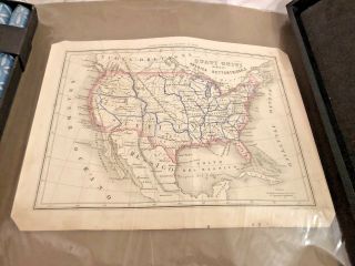
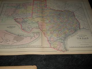
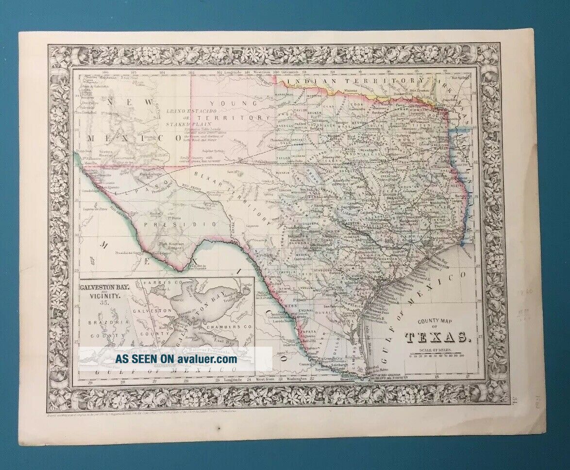
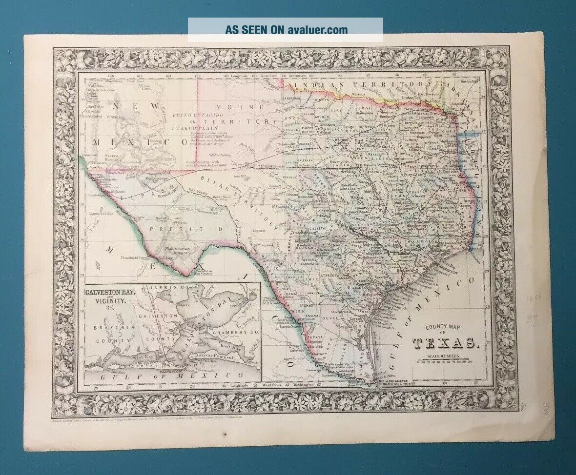
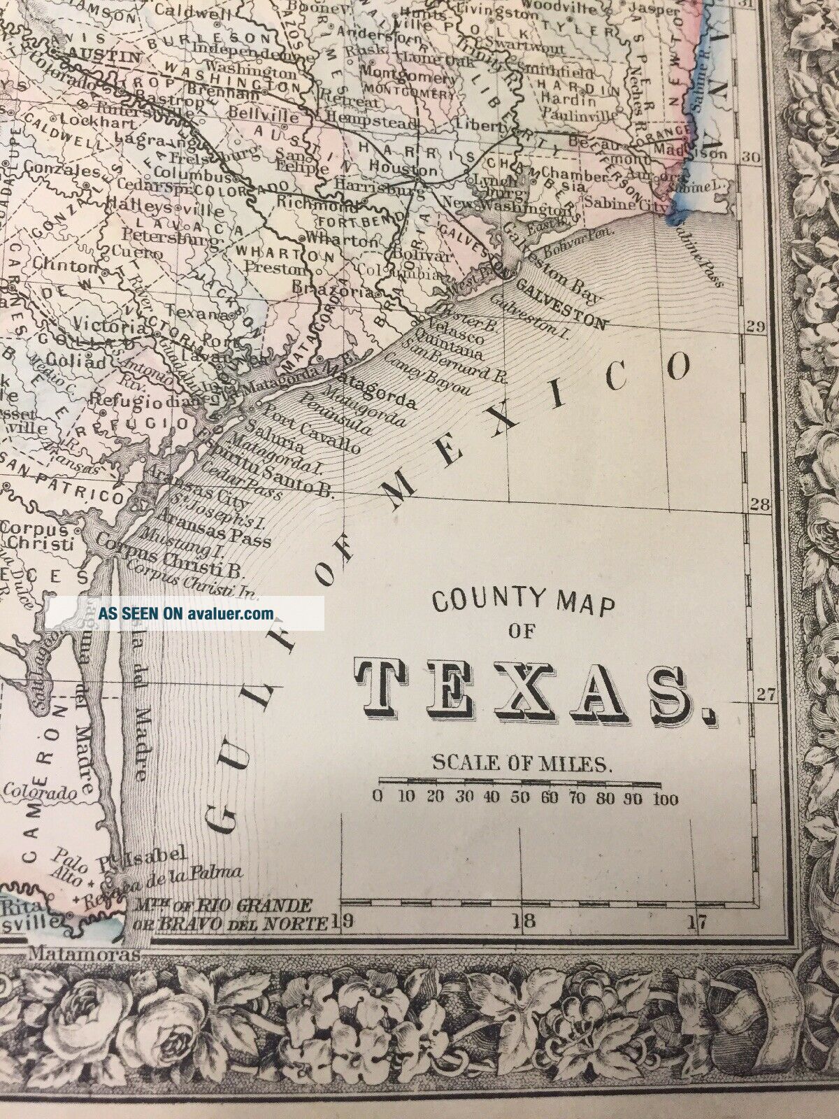
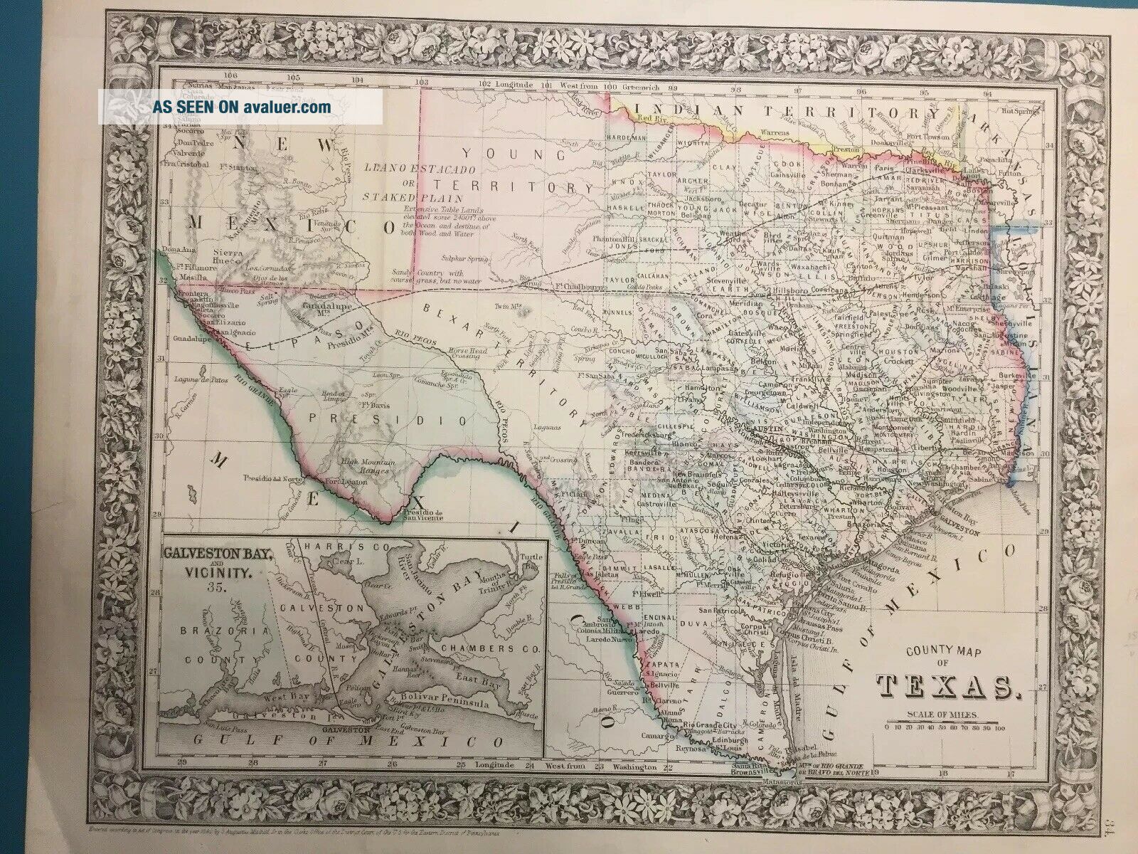
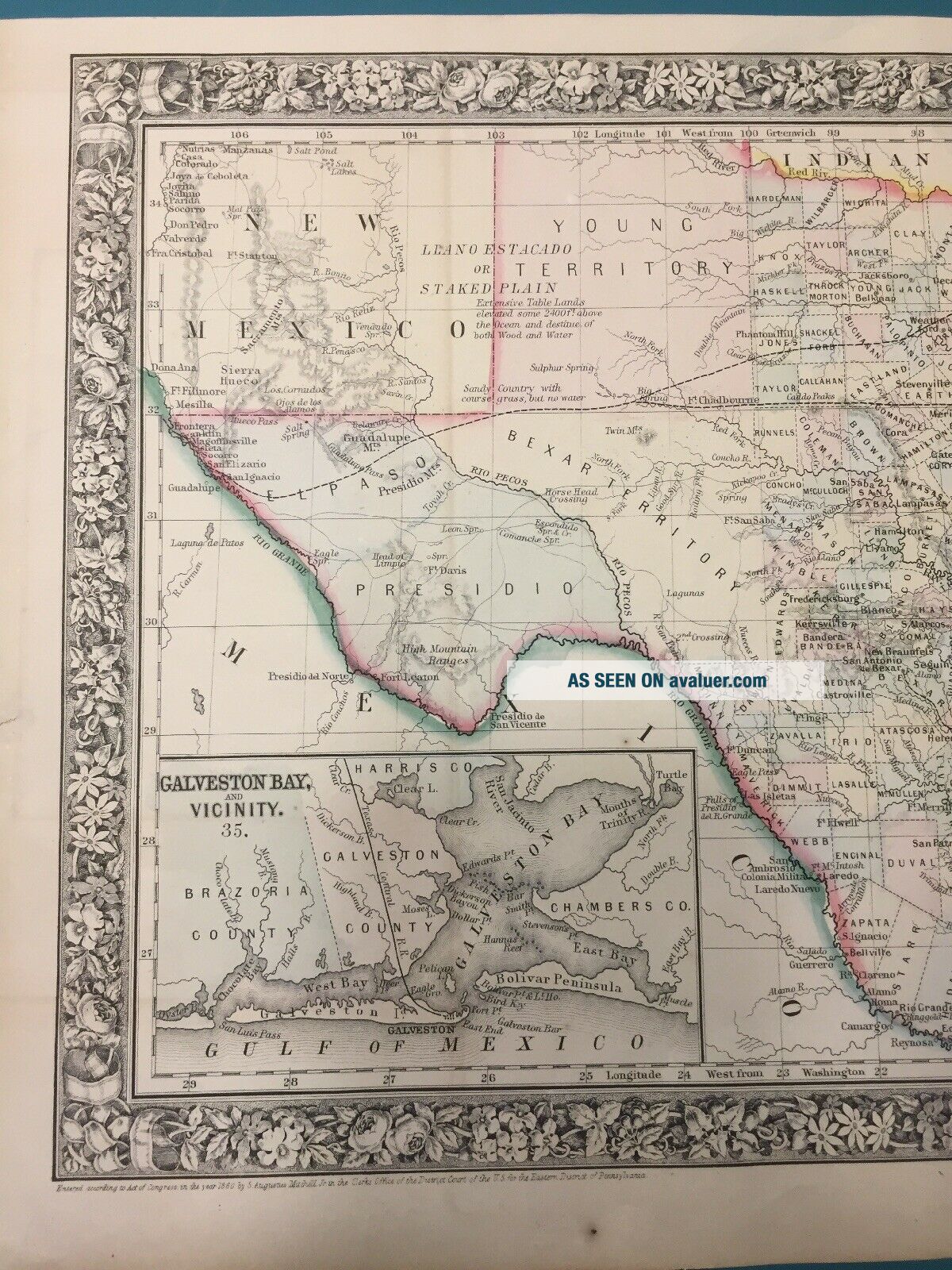
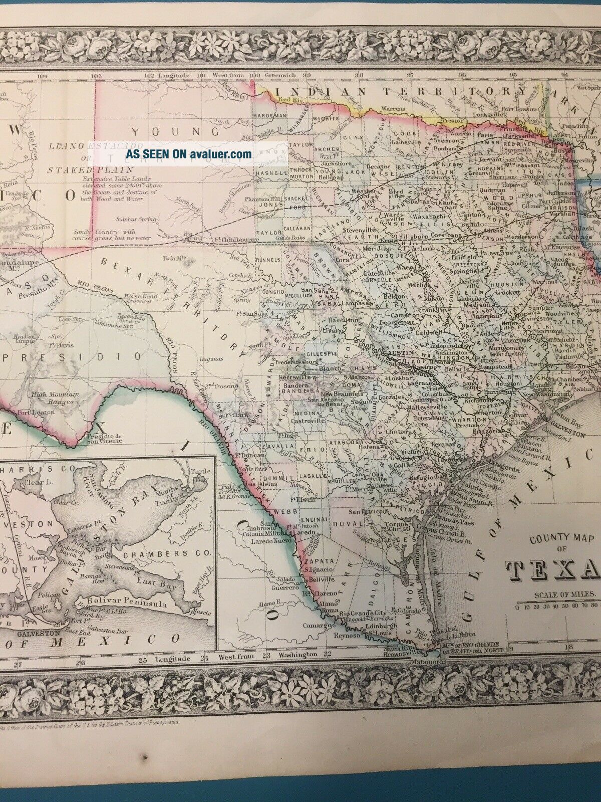
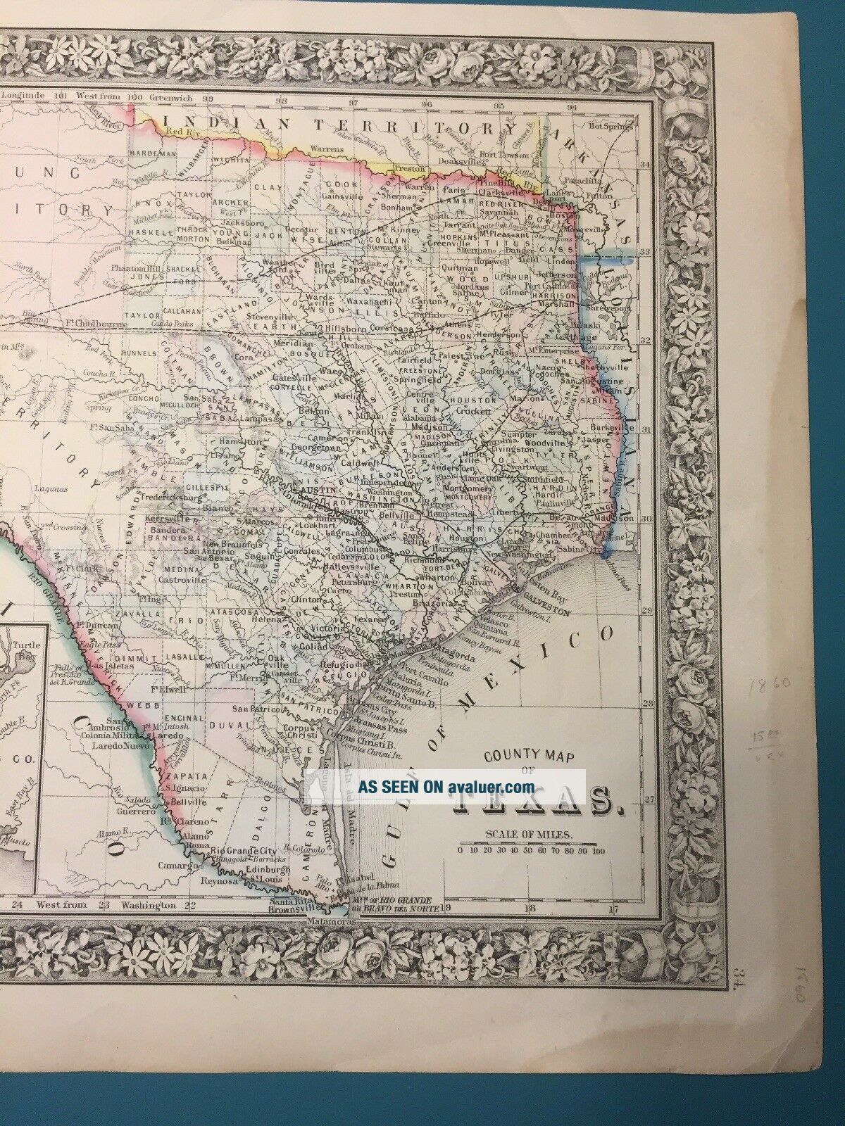
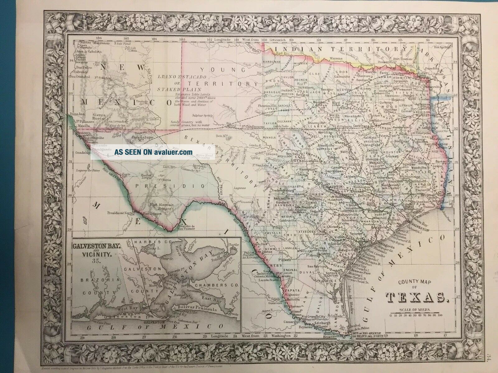
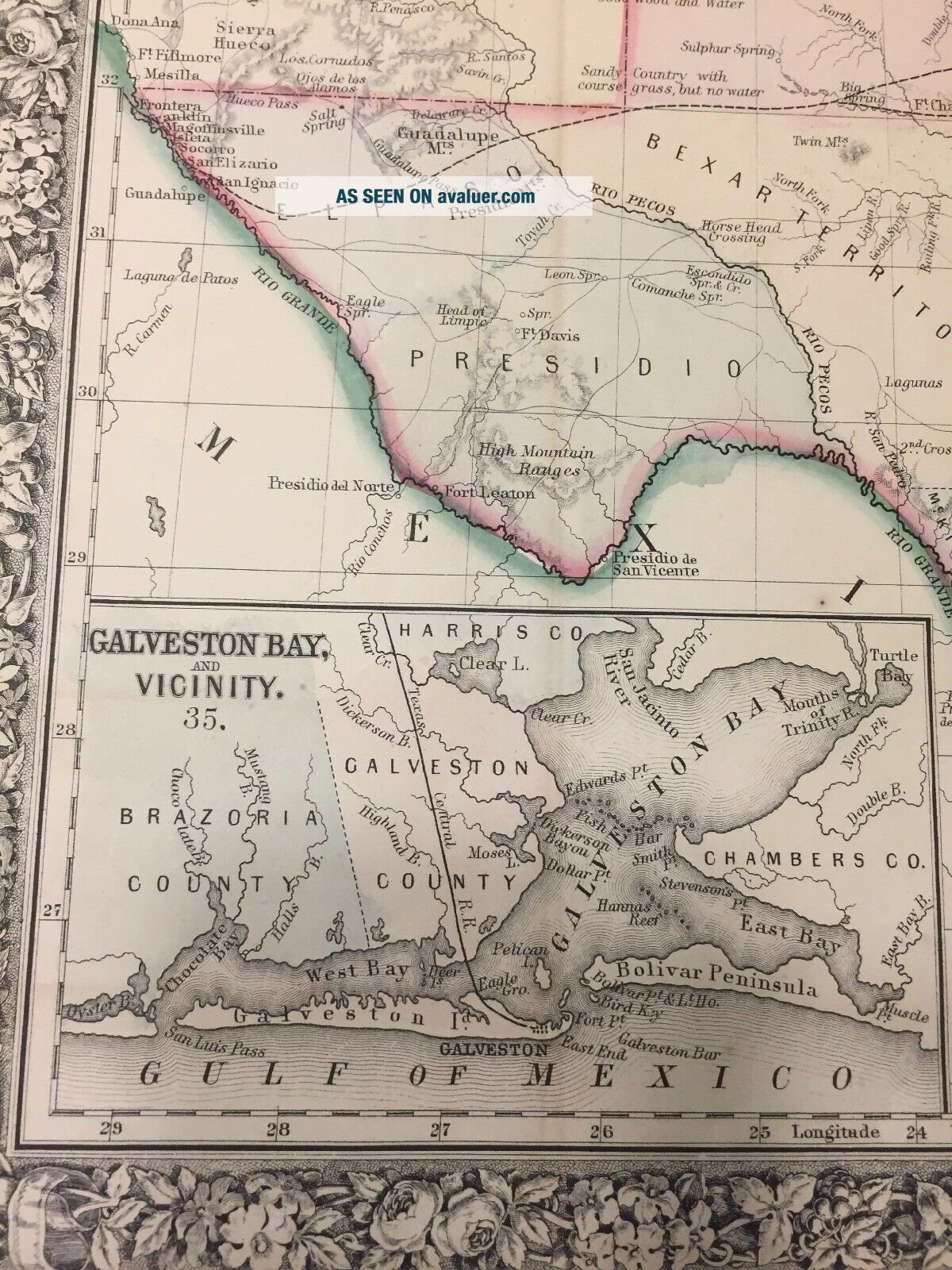
Antique 1860 County Map Of The State Of Texas
Item History & Price
| Reference Number: Avaluer:50786 | Type: County Map |
| US State: Texas |
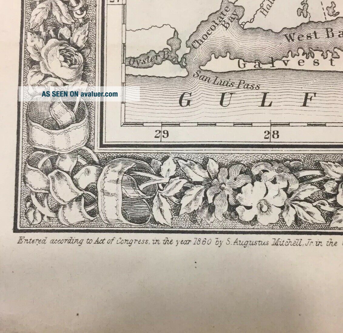
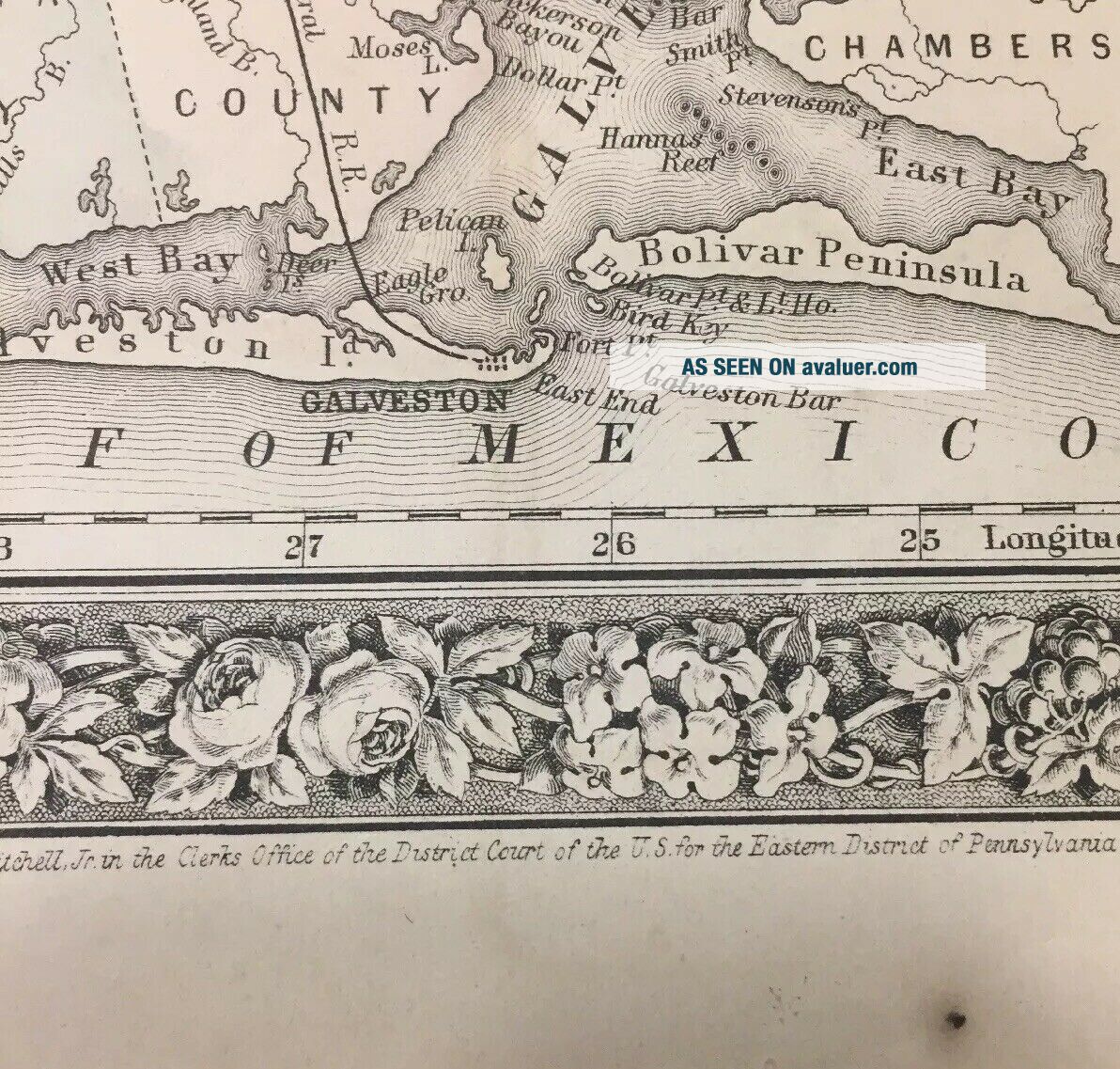
Antique 1860 County Map Of The State Of Texas in used condition. This item has been packed in a box for years. Shows signs of age and use. See all photos for condition.