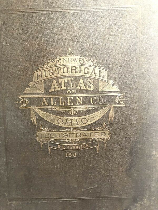
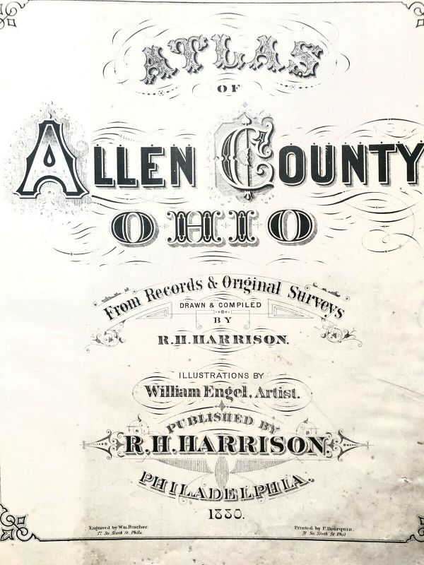
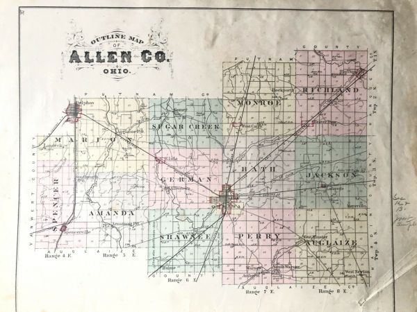
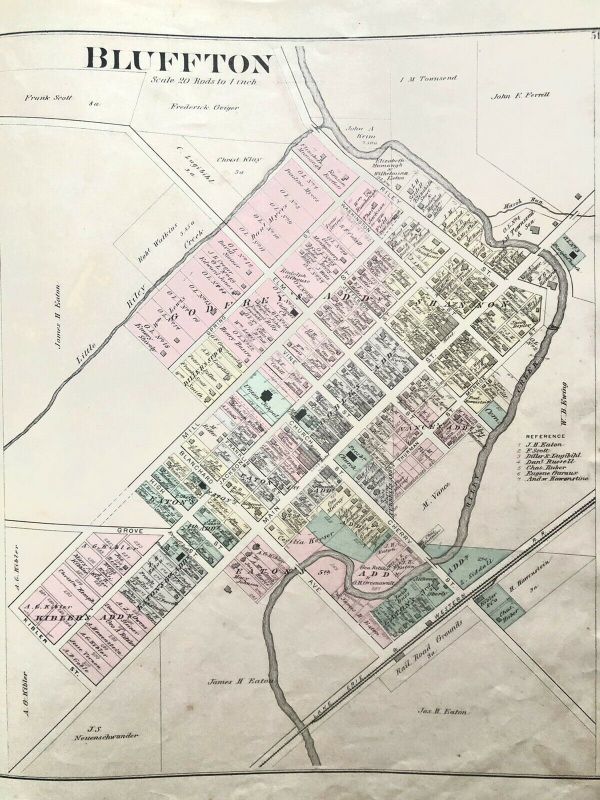
Atlas Of Allen County, Ohio 1880


Item History & Price

Information:
Reference Number: Avaluer:59406526Format: Atlas
Country/Region: United States of AmericaYear: 1880
Date Range: 1800-1899US State: Ohio
Type: City MapCity: Lima
Original/Reproduction: Antique Original
Original Description:
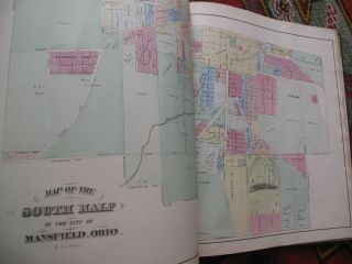
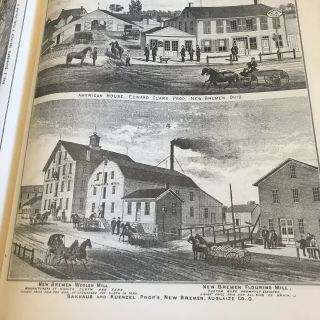
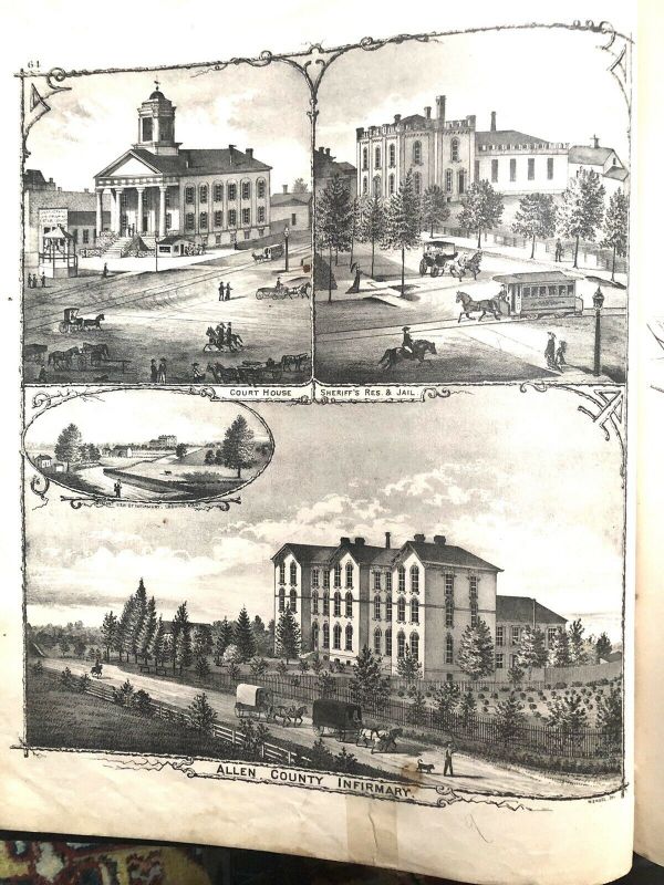
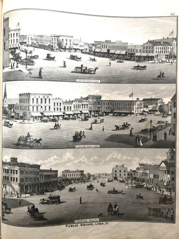
Atlas of Allen County, Ohio 1880. Well illustrated, City maps: Lima, Bluffton, etc. township maps


    Similar items


  • Xrare: 1880 Caldwell

    Xrare: 1880 Caldwell ' S Illustrated Historical Atlas Of Adams County Ohio 1880 

  • Illustrated Historical Hand Atlas Of Putnam County Ohio Ottawa Oh 1880

    Illustrated Historical Hand Atlas Of Putnam County Ohio Ottawa Oh 1880

  • 1797 - 1880,  Caldwell

    1797 - 1880, Caldwell ' S Illustrated Historical Atlas Of Adams County Ohio

  • Antique 1876 Atlas Of Clinton County Ohio Lake Griffing & Stevenson

    Antique 1876 Atlas Of Clinton County Ohio Lake Griffing & Stevenson

  • 1878 Atlas Of Marion County.  Ohio With Township & City Maps,  History Prints

    1878 Atlas Of Marion County. Ohio With Township & City Maps, History Prints

  • 1873 Atlas Of Richland County Ohio Mansfield Hand Color Maps Litho View

    1873 Atlas Of Richland County Ohio Mansfield Hand Color Maps Litho View

  • H B Stranahan / 1898 Atlas Of Lake County Ohio 1st Edition

    H B Stranahan / 1898 Atlas Of Lake County Ohio 1st Edition

  • Atlas Of Auglaize County Ohio Records Surveys Reprint

    Atlas Of Auglaize County Ohio Records Surveys Reprint


    • You might also like


    • 1860 Mitchell Hand Colored Map Colorado,  Nebraska & Kansas - Civil War Era

      1860 Mitchell Hand Colored Map Colorado, Nebraska & Kansas - Civil War Era

    • 18th Century French Map Of North America

      18th Century French Map Of North America

    • Las Vegas Nevada Vintage 1967 Us Geological Survey Quadrangle Map 4 Panels

      Las Vegas Nevada Vintage 1967 Us Geological Survey Quadrangle Map 4 Panels

    • Rare Antique 1845 Maps United States Exploring Expedition Book Antartica Hawaii

      Rare Antique 1845 Maps United States Exploring Expedition Book Antartica Hawaii

    • Vintage 1926 Map Hollywood From The Best Surveys Of The Time

      Vintage 1926 Map Hollywood From The Best Surveys Of The Time

    • American Continent (western Hemisphere) 1747 Bowen Antique Copper Engraved Map

      American Continent (western Hemisphere) 1747 Bowen Antique Copper Engraved Map

    • Gulf Coast Florida Texas United States 1705 De Fer Unusual Antique Engraved Map

      Gulf Coast Florida Texas United States 1705 De Fer Unusual Antique Engraved Map

    • California As Island United States 1700 De Fer Unusual First Edition Antique Map

      California As Island United States 1700 De Fer Unusual First Edition Antique Map

Avaluer          About Us          Privacy Policy          Contact Us          UP
© 2022, avaluer.net, Inc. or its affiliates