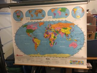
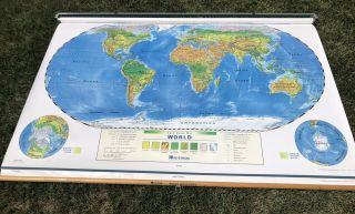
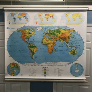
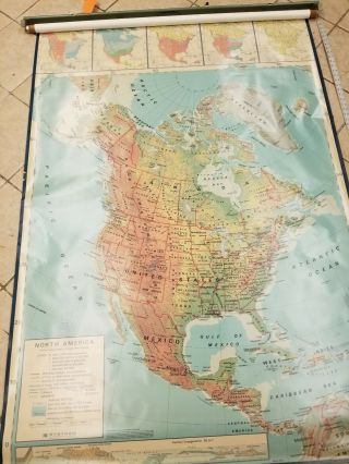
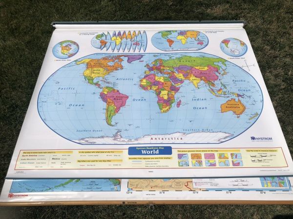
Vintage Nystrom 1NS99 Pull Down World USA Map 64 " X 52 " 2 Panel Classroom School


Item History & Price

Information:
Reference Number: Avaluer:60041751Format: Pull Down Map
Original/Reproduction: Vintage Original
Original Description:
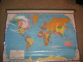
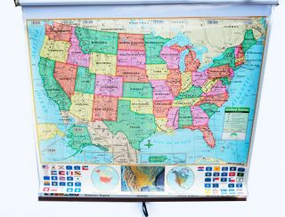
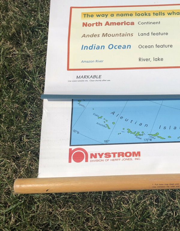
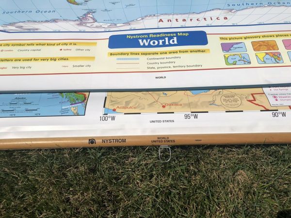
For sale is a Vintage Nystrom 1NS99 Pull Down classroom map. On one panel there is a World map and on the other is a map of the USA. This Map measures 64" x 52" and is mounted on a metal bracket. This 2 Panel map would be perfect for a home Classroom or School. Please note that someone has written North South East West on the front panel. Please see pictures. Map #3


    Similar items


  • Vintage Nystrom 1ns99 Pull Down World Map 64 " X 52 " Markable Surface

    Vintage Nystrom 1ns99 Pull Down World Map 64 " X 52 " Markable Surface

  • Vintage Nystrom Pull Down World Usa Map 65” X 52 " 2 Panel Classroom School 1lc1

    Vintage Nystrom Pull Down World Usa Map 65” X 52 " 2 Panel Classroom School 1lc1

  • Nystrom 1sr991 Pull Down World & Usa School Map Home School Retractable Markable

    Nystrom 1sr991 Pull Down World & Usa School Map Home School Retractable Markable

  • Vintage Nystrom 1pr1a Pull Down United States Map 50 " Wide X 72 " Long

    Vintage Nystrom 1pr1a Pull Down United States Map 50 " Wide X 72 " Long

  • Vintage Nystrom School Pull Down Map W/bracket South America 44”wide 66” Long

    Vintage Nystrom School Pull Down Map W/bracket South America 44”wide 66” Long

  • Vintage Large Pull Down World Wall Map - - School Nystrom Ins 98 - 0 63 " X 45 "

    Vintage Large Pull Down World Wall Map - - School Nystrom Ins 98 - 0 63 " X 45 "

  • Vintage Nystrom School Pull Down Wall Map North America No.  1ag5 52 " X 42 " Usa

    Vintage Nystrom School Pull Down Wall Map North America No. 1ag5 52 " X 42 " Usa

  • Pull Down World & Usa School Map Home School Retractable Dry Erase Markable Maps

    Pull Down World & Usa School Map Home School Retractable Dry Erase Markable Maps


    • You might also like


    • 1860 Mitchell Hand Colored Map Colorado,  Nebraska & Kansas - Civil War Era

      1860 Mitchell Hand Colored Map Colorado, Nebraska & Kansas - Civil War Era

    • 18th Century French Map Of North America

      18th Century French Map Of North America

    • Las Vegas Nevada Vintage 1967 Us Geological Survey Quadrangle Map 4 Panels

      Las Vegas Nevada Vintage 1967 Us Geological Survey Quadrangle Map 4 Panels

    • Rare Antique 1845 Maps United States Exploring Expedition Book Antartica Hawaii

      Rare Antique 1845 Maps United States Exploring Expedition Book Antartica Hawaii

    • Vintage 1926 Map Hollywood From The Best Surveys Of The Time

      Vintage 1926 Map Hollywood From The Best Surveys Of The Time

    • American Continent (western Hemisphere) 1747 Bowen Antique Copper Engraved Map

      American Continent (western Hemisphere) 1747 Bowen Antique Copper Engraved Map

    • Gulf Coast Florida Texas United States 1705 De Fer Unusual Antique Engraved Map

      Gulf Coast Florida Texas United States 1705 De Fer Unusual Antique Engraved Map

    • California As Island United States 1700 De Fer Unusual First Edition Antique Map

      California As Island United States 1700 De Fer Unusual First Edition Antique Map

Avaluer          About Us          Privacy Policy          Contact Us          UP
© 2022, avaluer.net, Inc. or its affiliates