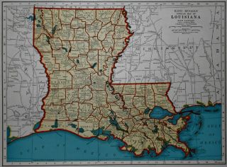
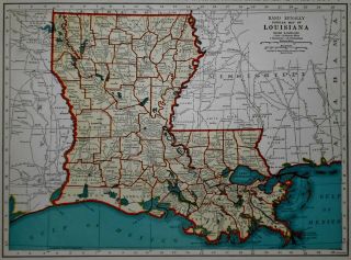
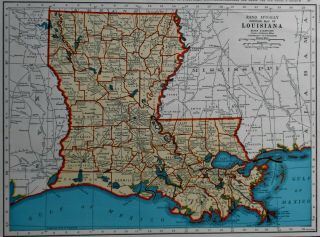
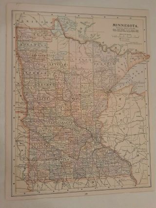
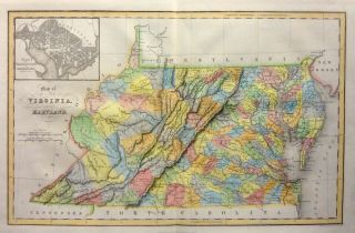
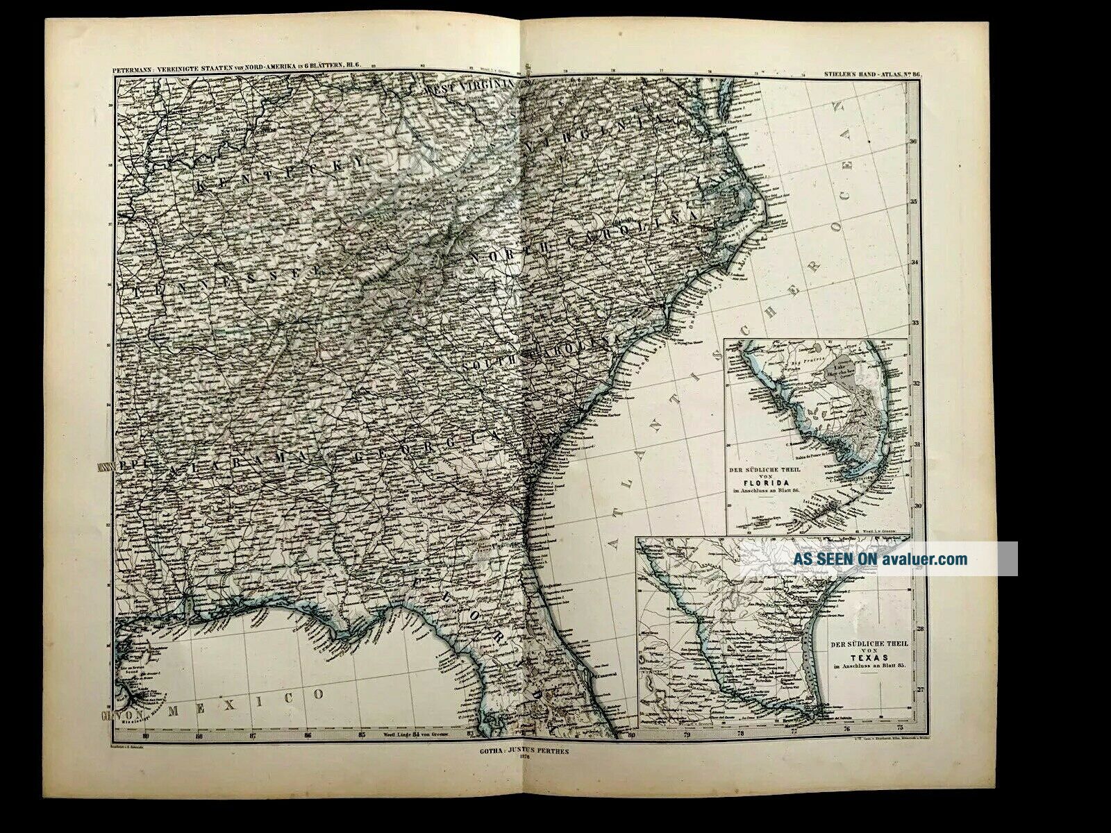
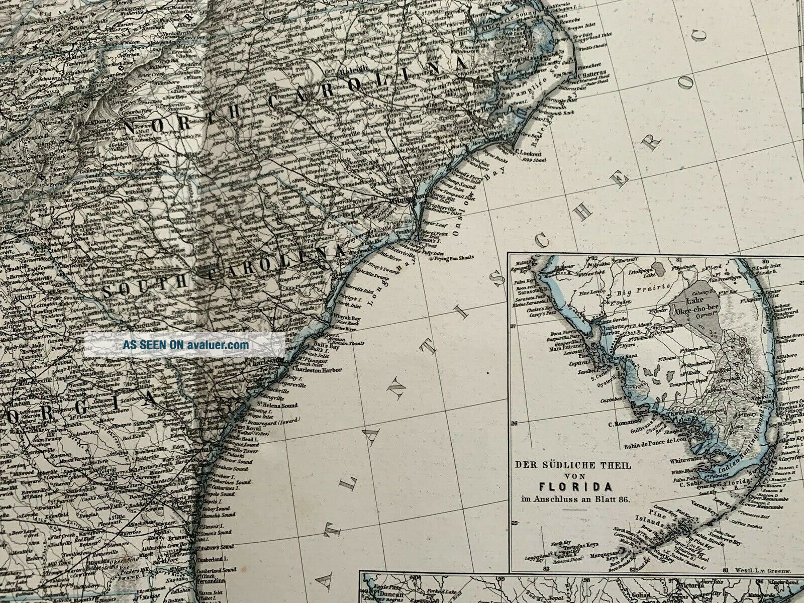
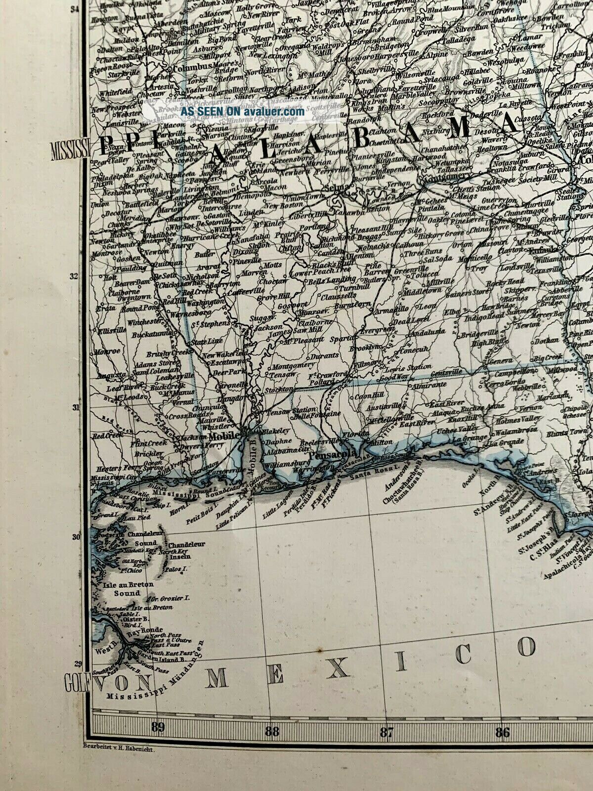
1878 Map Of Virginia, Kentucky, Tennessee, Alabama, Georgia, Florida, Carolinas


Item History & Price
| Reference Number: Avaluer:61493 | Year: 1878 |
| Date Range: 1800-1899 | Type: Political Map |
| US State: Florida | Topic: Maps |
| Country/Region: Germany |
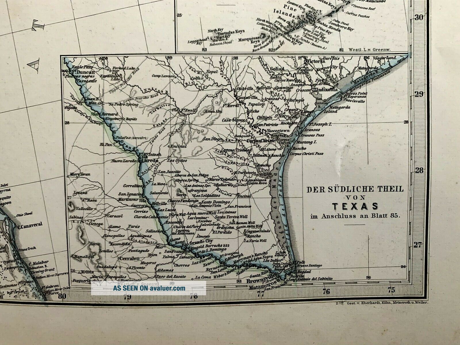
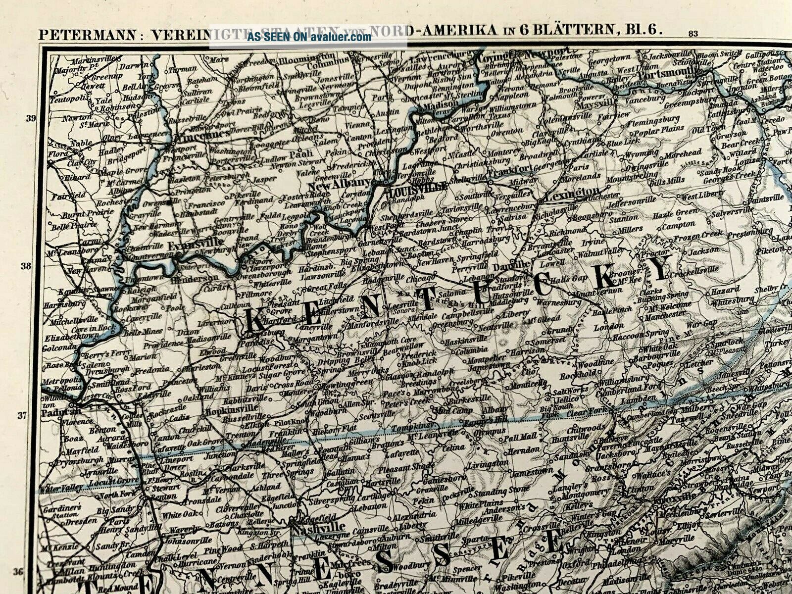
Political map of the Eastern part of The United States.
Printed: 1878 in the "Stielers Handatlas (Hand Atlas). Petermann: United States of North America in 6 sheets"Cartographer: August Heinrich PetermannVery good condition.Size: 18.5” x 15”.
See other $0.99 items
Printed: 1878 in the "Stielers Handatlas (Hand Atlas). Petermann: United States of North America in 6 sheets"Cartographer: August Heinrich PetermannVery good condition.Size: 18.5” x 15”.
See other $0.99 items