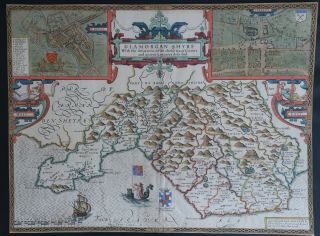
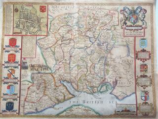
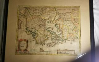
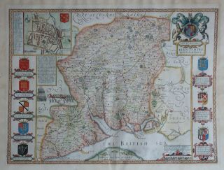
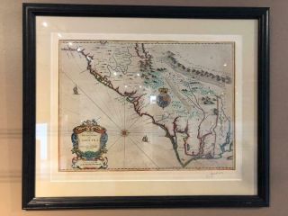
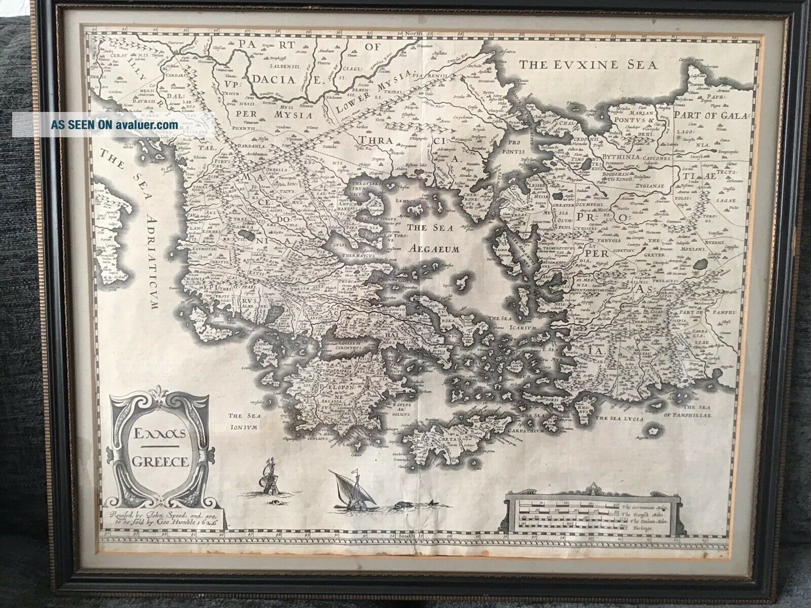
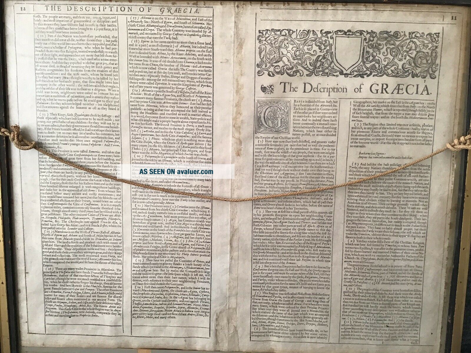
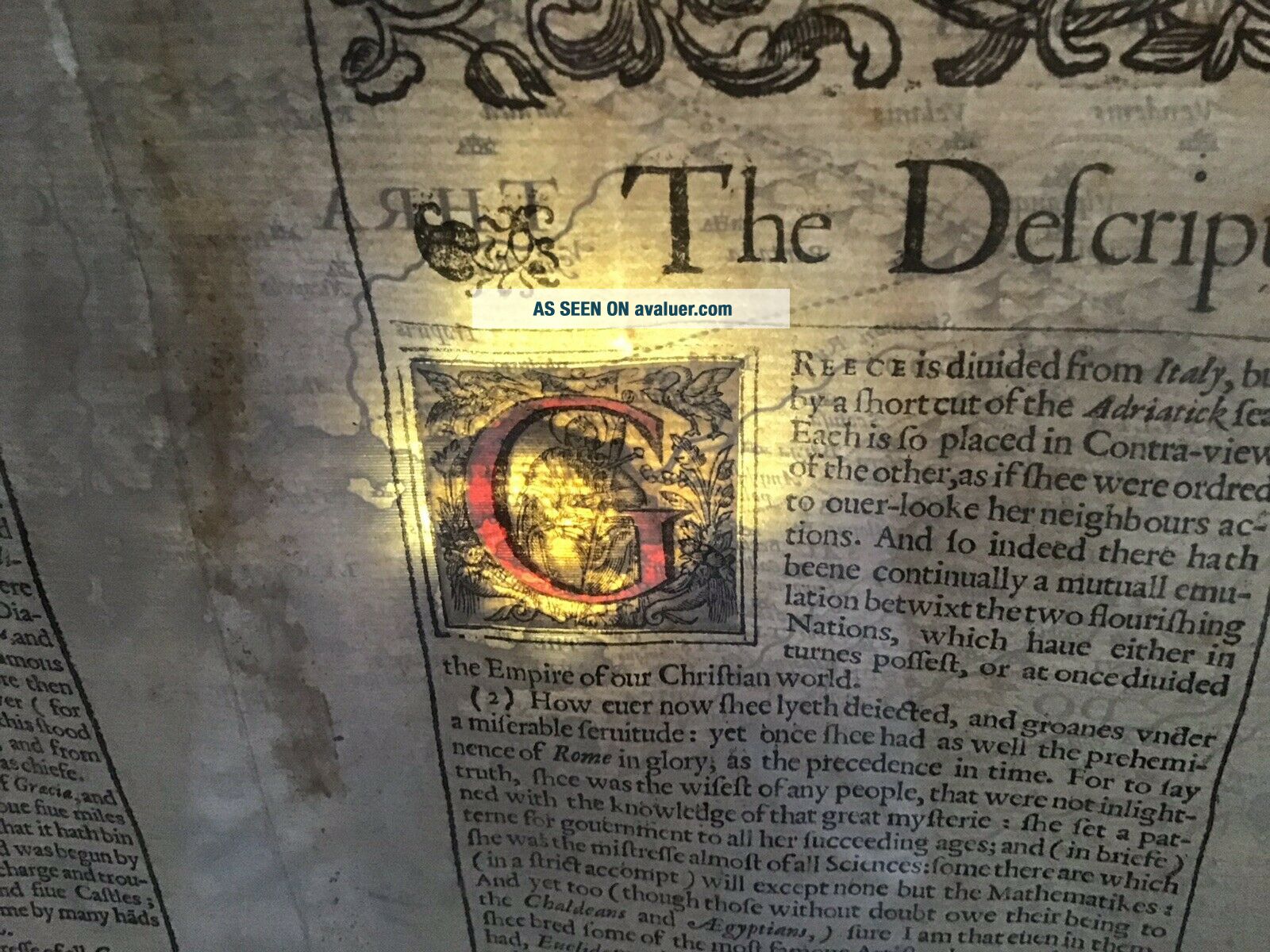
Early Jonh Speed Map Of Greece


Item History & Price

Information:
Reference Number: Avaluer:7445Country/Region: Greece
Original Description:
Genuine Early John Speed Map Of Greece. It’s in a frame but if any buyer is not bothered about the frame I may remove it and post in a tube for safety reasons. It measures approximately 56cm x 45cm. PayPal payment please, thanks for looking.


    Similar items


  • Early John Speed Map Of Glamorganshire,  Wales,  Hand Coloured Circa 1676

    Early John Speed Map Of Glamorganshire, Wales, Hand Coloured Circa 1676

  • Antique Speed Map Of Hampshire Hantshire Christopher Browne C1700 Rare Early Map

    Antique Speed Map Of Hampshire Hantshire Christopher Browne C1700 Rare Early Map

  • John Speed 1626 Copper Plate Map Of Greece Turkey Istanbul Byzantium

    John Speed 1626 Copper Plate Map Of Greece Turkey Istanbul Byzantium

  • Stunning John Speed Map Of Hampshire,  1710 - 1743 With Hand Colouring.

    Stunning John Speed Map Of Hampshire, 1710 - 1743 With Hand Colouring.

  • Stunning Early Finely Embroidered Map Of England & Wales 1795 Extremely Rare

    Stunning Early Finely Embroidered Map Of England & Wales 1795 Extremely Rare

  • Desing Engraving Map Of Greece Turkey - 1741

    Desing Engraving Map Of Greece Turkey - 1741

  • John Speed Map Of Carolina.

    John Speed Map Of Carolina.

  • MÜnster/munster: Cosmographia Fine Map Of Greece Macedonia Albania - 1592

    MÜnster/munster: Cosmographia Fine Map Of Greece Macedonia Albania - 1592


    • You might also like


    • Hungary & Romania 1579 (1584) Ortelius Unusual Antique Copper Engraved Map

      Hungary & Romania 1579 (1584) Ortelius Unusual Antique Copper Engraved Map

    • Brussels Bruxelles Belfium 1777 De Ferraris & Dupuis Large Antique Map Sheet Xxi

      Brussels Bruxelles Belfium 1777 De Ferraris & Dupuis Large Antique Map Sheet Xxi

    • 1616 Atlas Map Of Iceland.

      1616 Atlas Map Of Iceland.

    • Kazan Russia 1767 Le Clerc/lespinasse Antique Copper Engraved City View

      Kazan Russia 1767 Le Clerc/lespinasse Antique Copper Engraved City View

    • 1899 Stanford,  Folding Map Of Norwich,  Norfolk,  Arthur Collins,  Jarrold & Sons,

      1899 Stanford, Folding Map Of Norwich, Norfolk, Arthur Collins, Jarrold & Sons,

    • 1948 Vintage Linen Colour Map Geological Survey Ten Mile Of Great Britain

      1948 Vintage Linen Colour Map Geological Survey Ten Mile Of Great Britain

    • 1944 Map Flying Bombs Sussex Ww2 Newspaper Military Kent Courier German V1 V2

      1944 Map Flying Bombs Sussex Ww2 Newspaper Military Kent Courier German V1 V2

    • Dated 1638 Vellum Map Of Icklesham Sussex Showing Land Uses Owners Etc

      Dated 1638 Vellum Map Of Icklesham Sussex Showing Land Uses Owners Etc

Avaluer          About Us          Privacy Policy          Contact Us          UP
© 2022, avaluer.net, Inc. or its affiliates