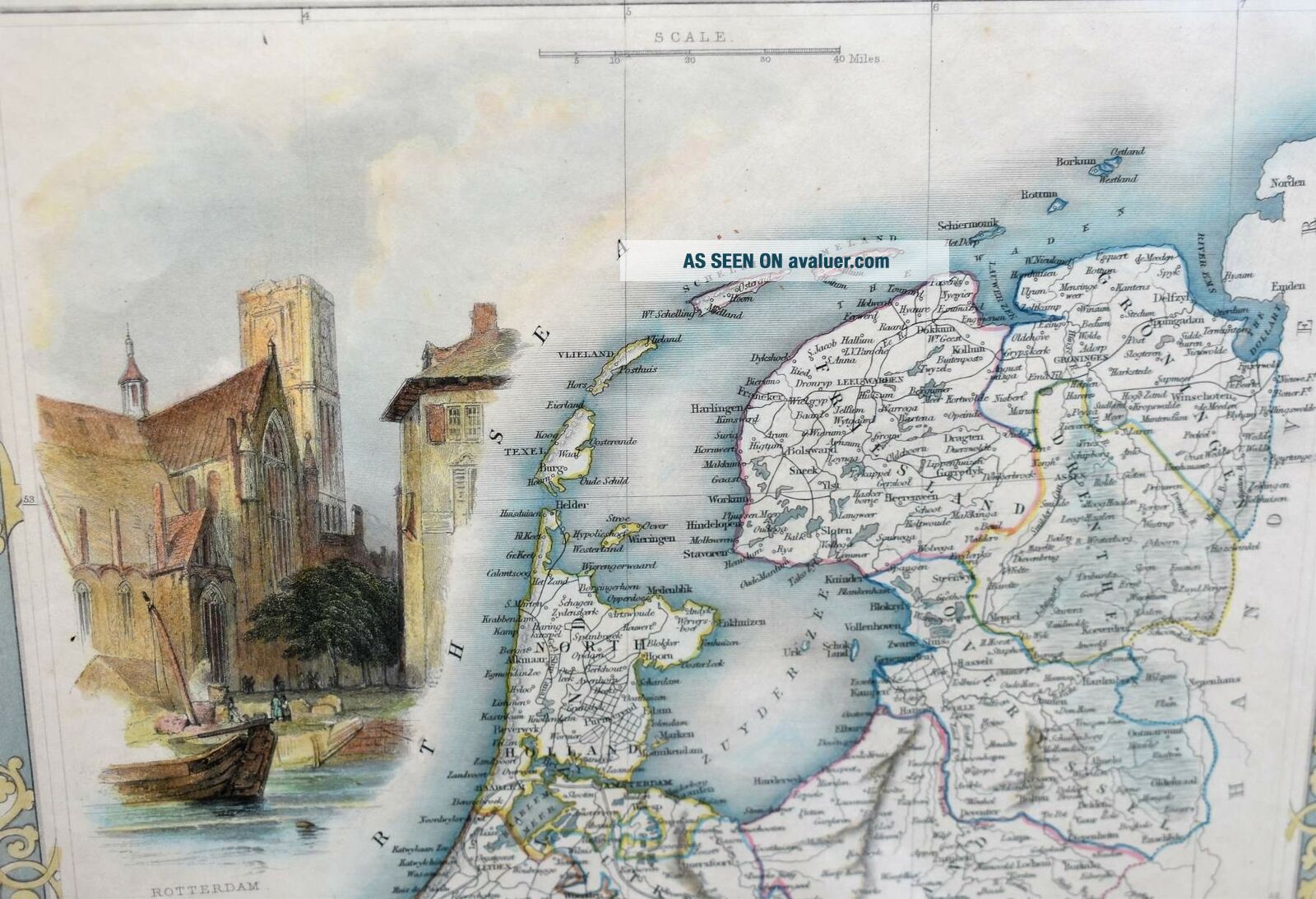
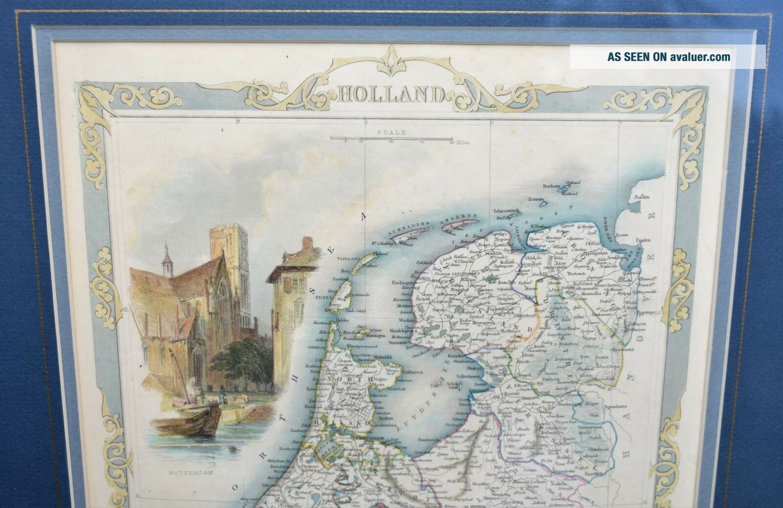
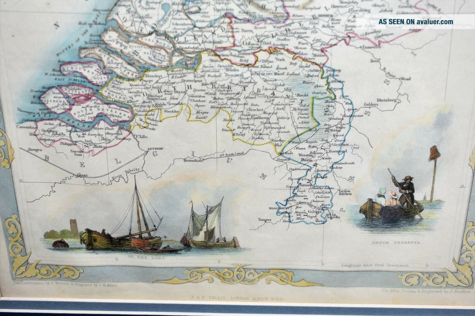
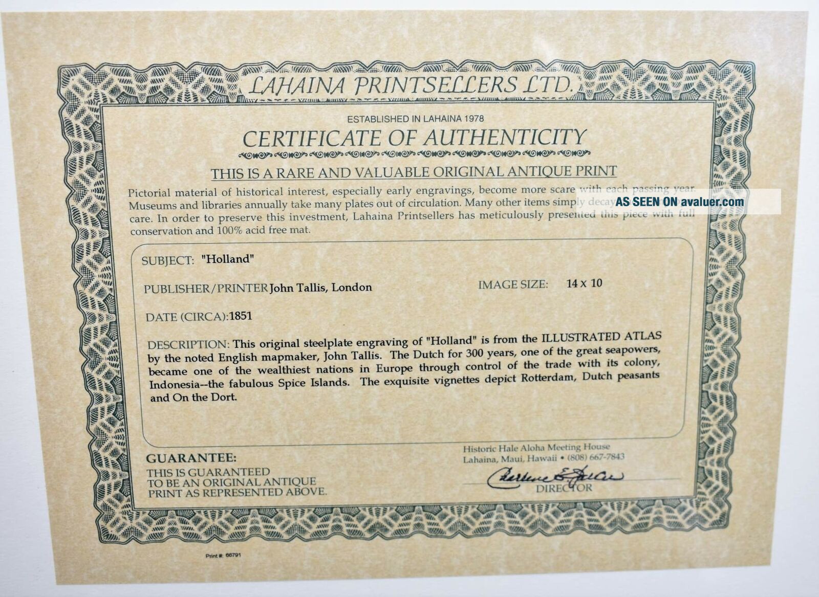
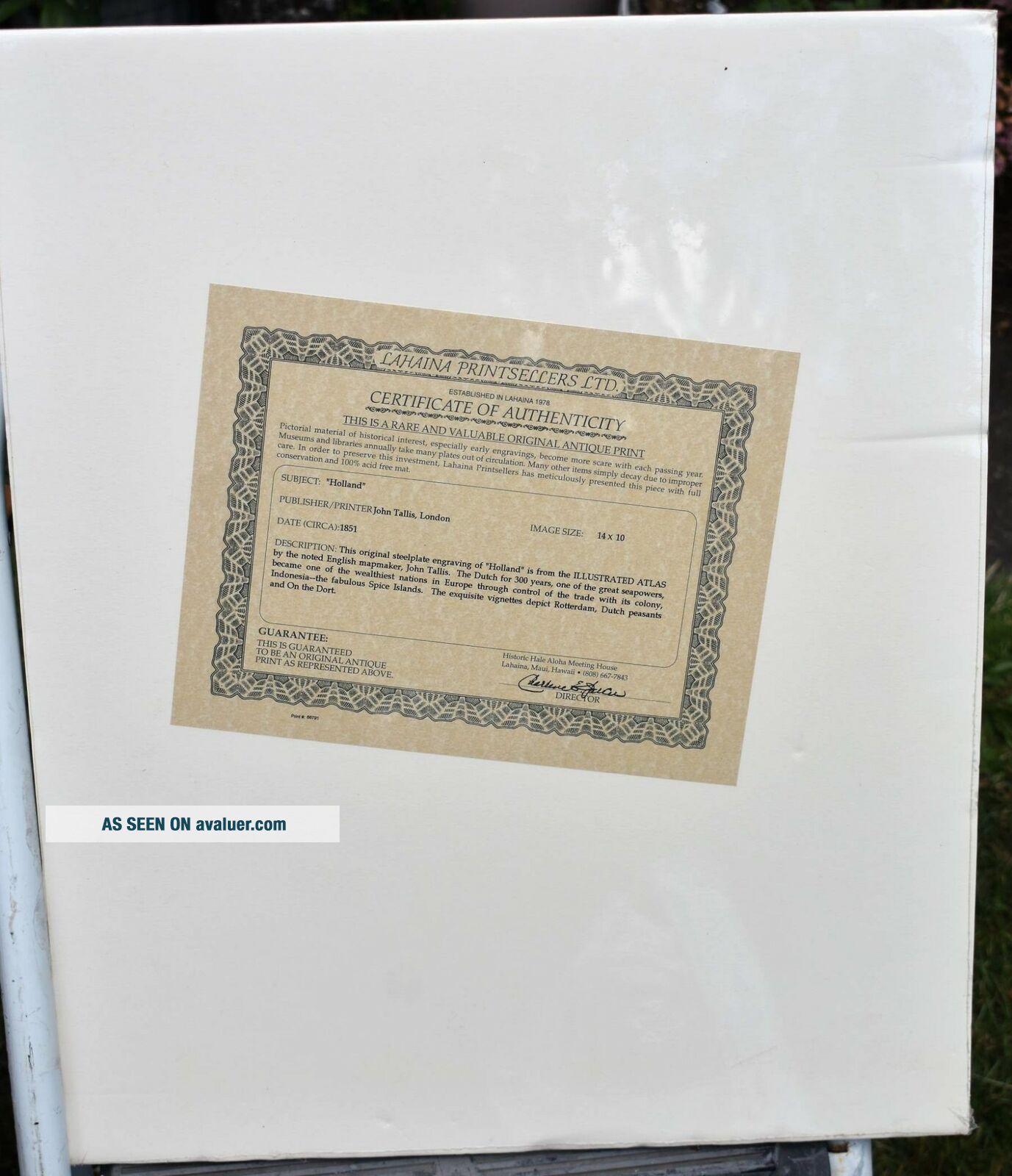
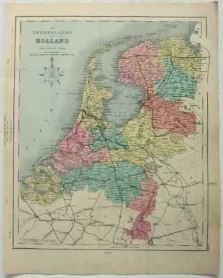
Antique Map Of ' HOLLAND ' (Netherlands) By JOHN TALLIS & J. RAPKIN C. 1851


Item History & Price
| Reference Number: Avaluer:7703 | Year: 1635 |
| Cartographer/Publisher: John Tallis | Country/Region: Holland |
| Original/Reproduction: Original |

| Reference Number: Avaluer:7703 | Year: 1635 |
| Cartographer/Publisher: John Tallis | Country/Region: Holland |
| Original/Reproduction: Original |
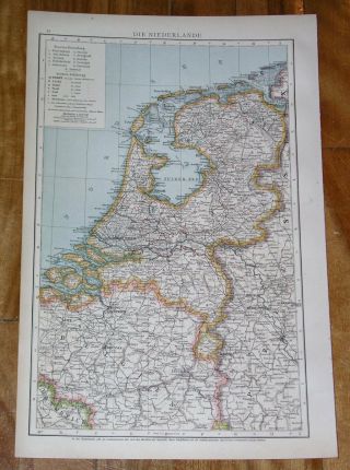
1893 Antique Map Of Holland / Netherlands Belgium Ver
1899 Antique Map Of Holland Netherlands / Belgium
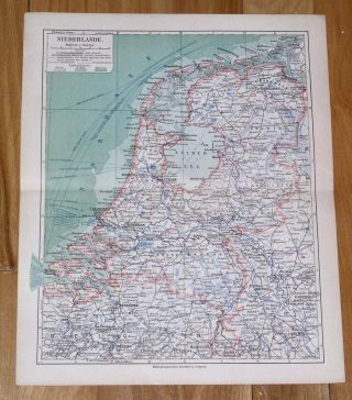
Antique Map Of Holland Netherlands Belgium Luxemburg 1903
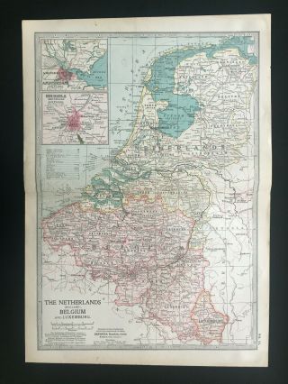
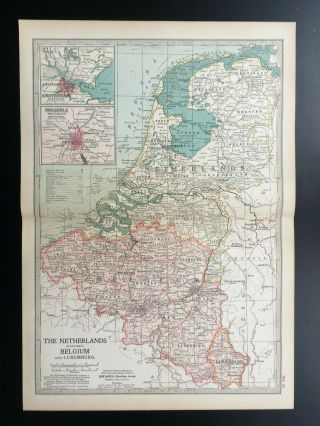
Antique Map Of Holland Netherlands Belgium Luxemburg Flanders Liege Antwerp 1903
1878 Map Of The Netherlands By William Hughes & John Dower. Hollantique
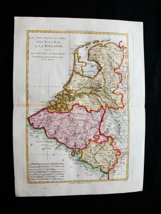
1789 Bonne - Rare Map Of Holland, Netherlands, Belgium, Luxembourg, Belgique.
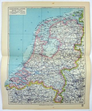
1928 German Map Of The Netherlands By Meyers
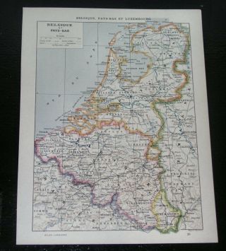
1903 Antique French Map Of Holland Netherlands Belgium

Hungary & Romania 1579 (1584) Ortelius Unusual Antique Copper Engraved Map

Brussels Bruxelles Belfium 1777 De Ferraris & Dupuis Large Antique Map Sheet Xxi

1616 Atlas Map Of Iceland.

Kazan Russia 1767 Le Clerc/lespinasse Antique Copper Engraved City View

1899 Stanford, Folding Map Of Norwich, Norfolk, Arthur Collins, Jarrold & Sons,

1948 Vintage Linen Colour Map Geological Survey Ten Mile Of Great Britain

1944 Map Flying Bombs Sussex Ww2 Newspaper Military Kent Courier German V1 V2

Dated 1638 Vellum Map Of Icklesham Sussex Showing Land Uses Owners Etc