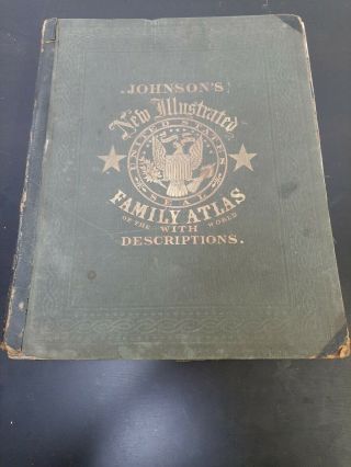
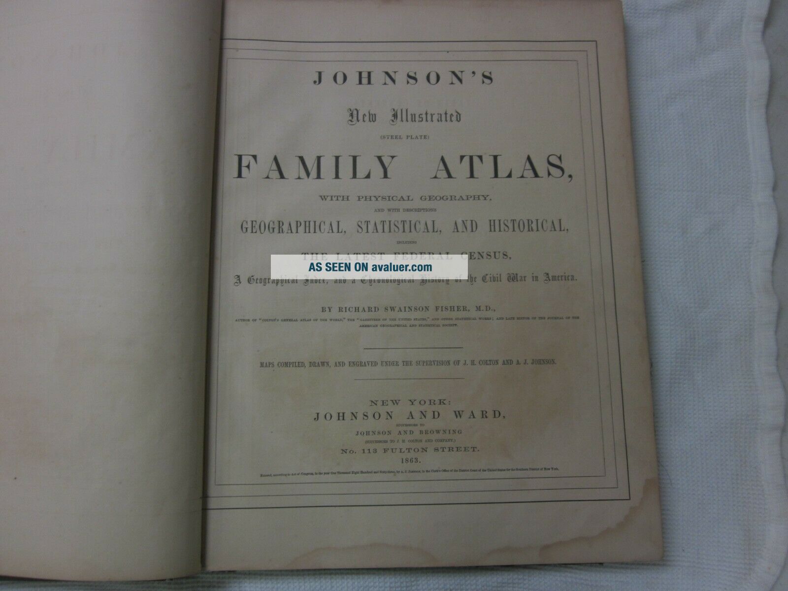
1863 Johnson ' S Family Illustrated Atlas Colored Maps Steel Plate 1st WV Map


Item History & Price

Information:
Reference Number: Avaluer:10691Map View: World
Type: WorldCartographer/Publisher: Johnson & Ward, New York, 1865
Year: 1863Printing Technique: steel engravings, hand-colored
US State: ALLOriginal/Reproduction: Antique Original
Date Range: 1863Format: Atlas
Country/Region: United States of America
Original Description:
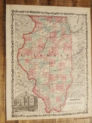
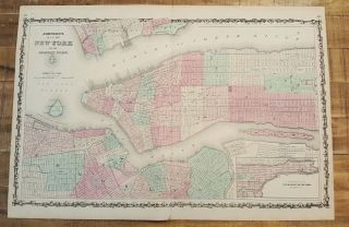
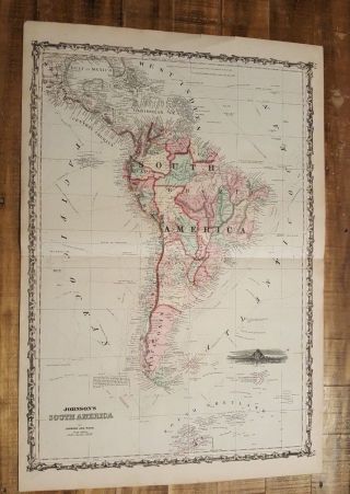
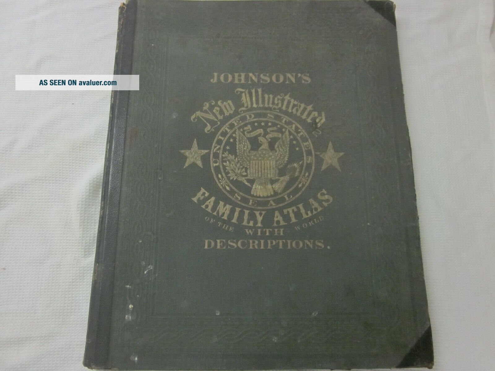
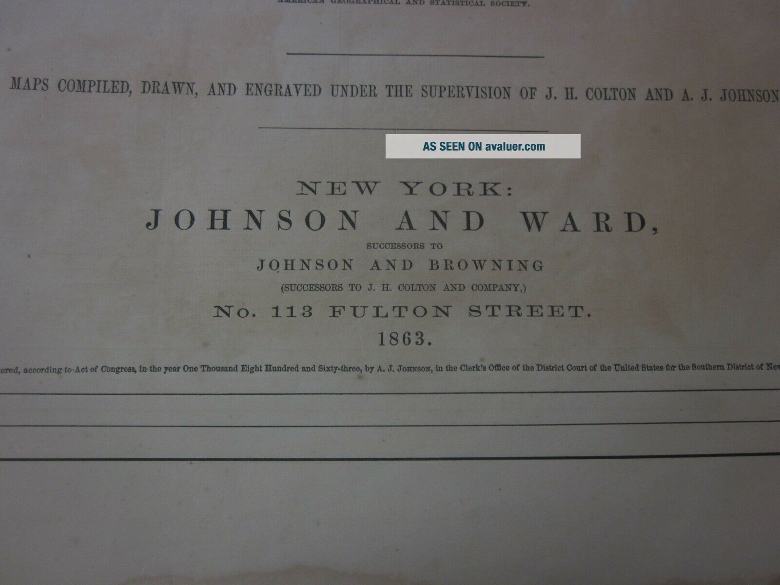
HELLO, FOR AUCTION I'M OFFERING A CIVIL WAR ERA 1863 JOHNSON'S NEW ILLUSTRATED FAMILY ATLAS WITH STEEL PLATE ENGRAVINGS OF THE ENCLOSED MAPS.

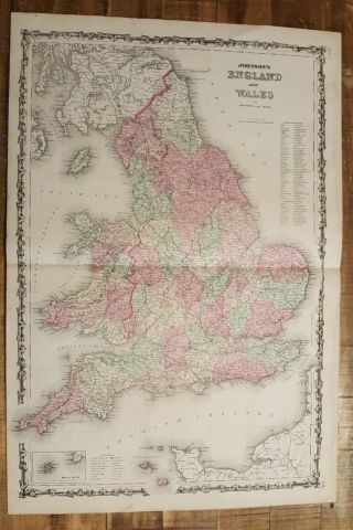
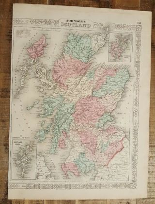
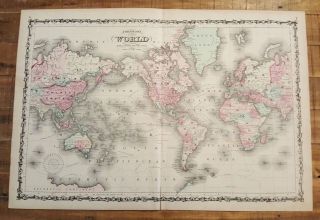
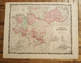
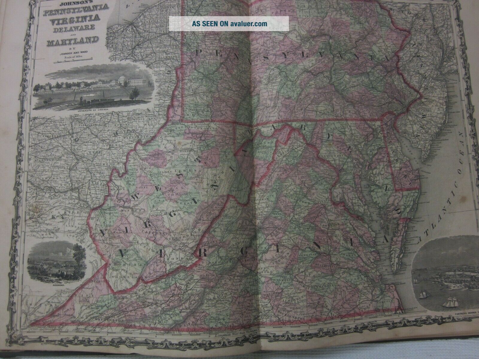
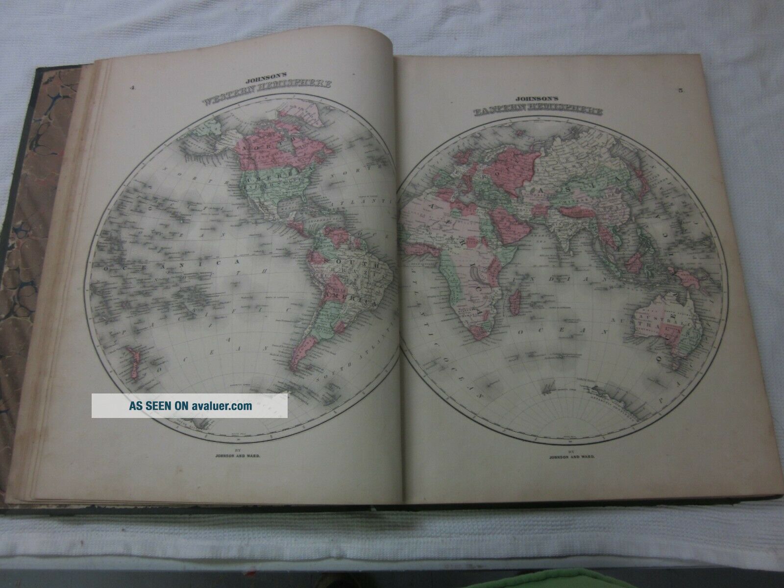
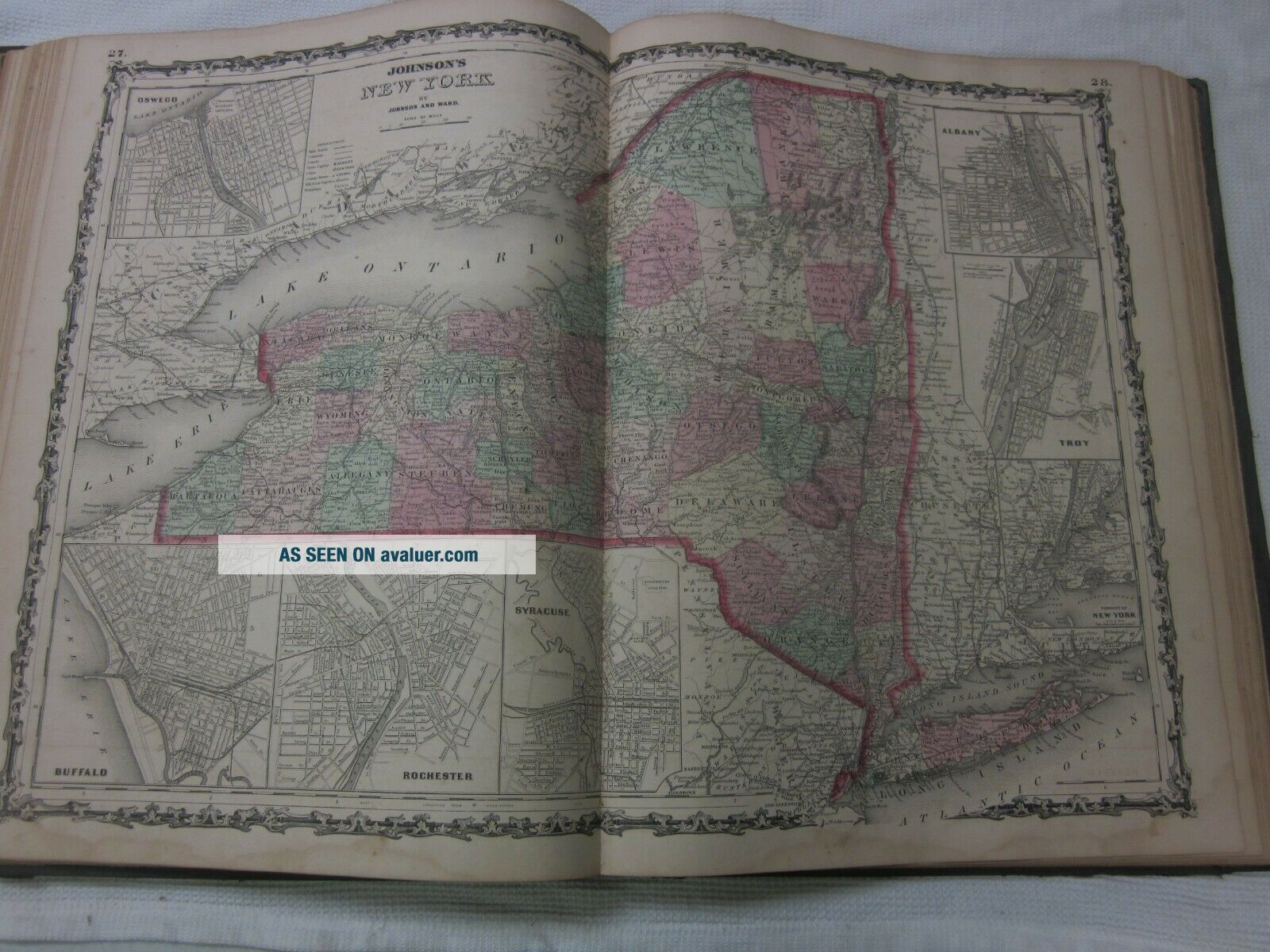
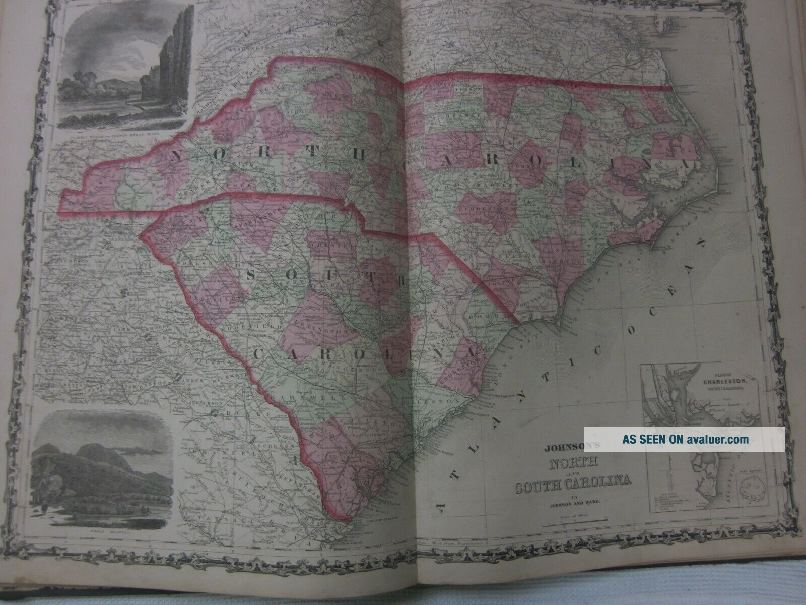
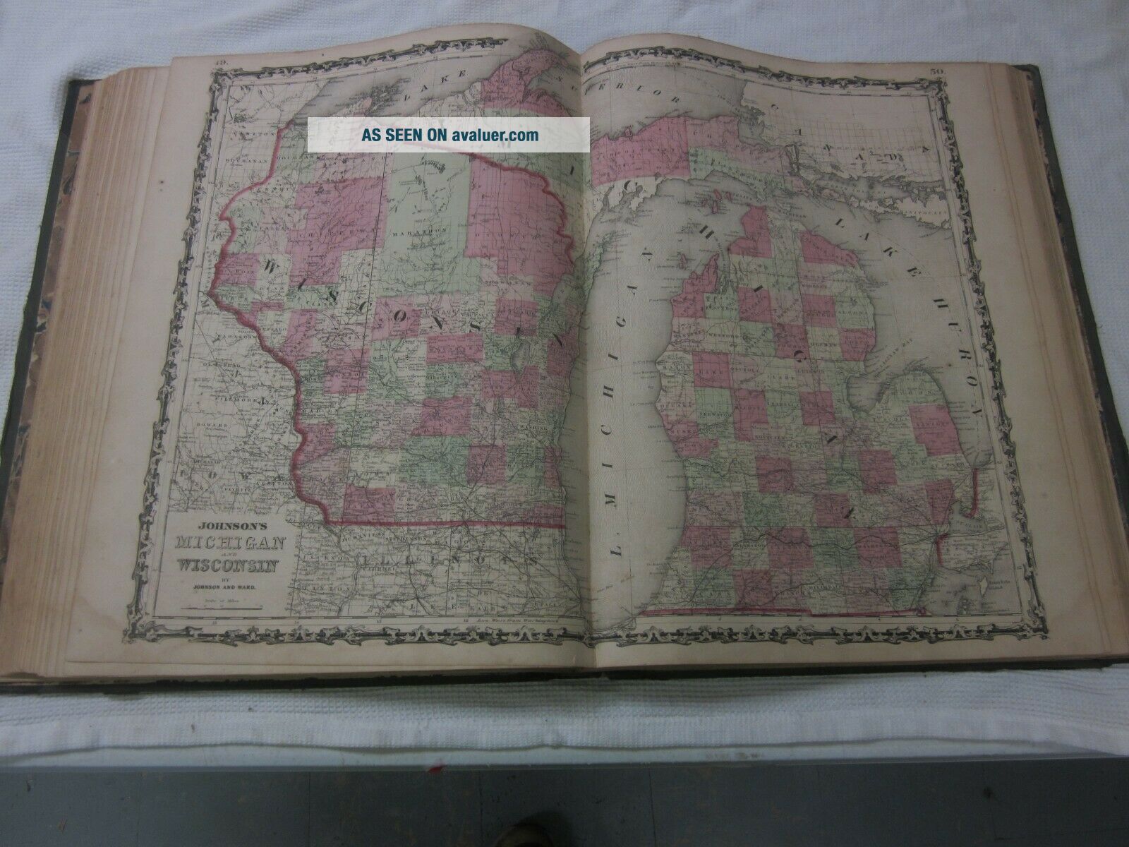
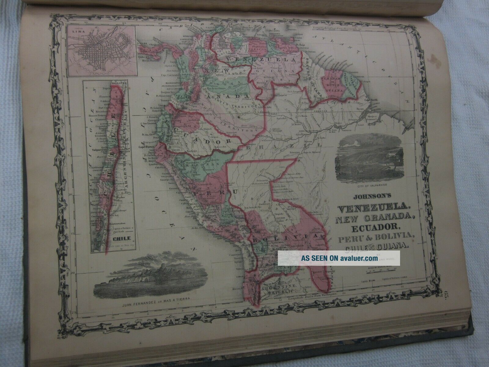
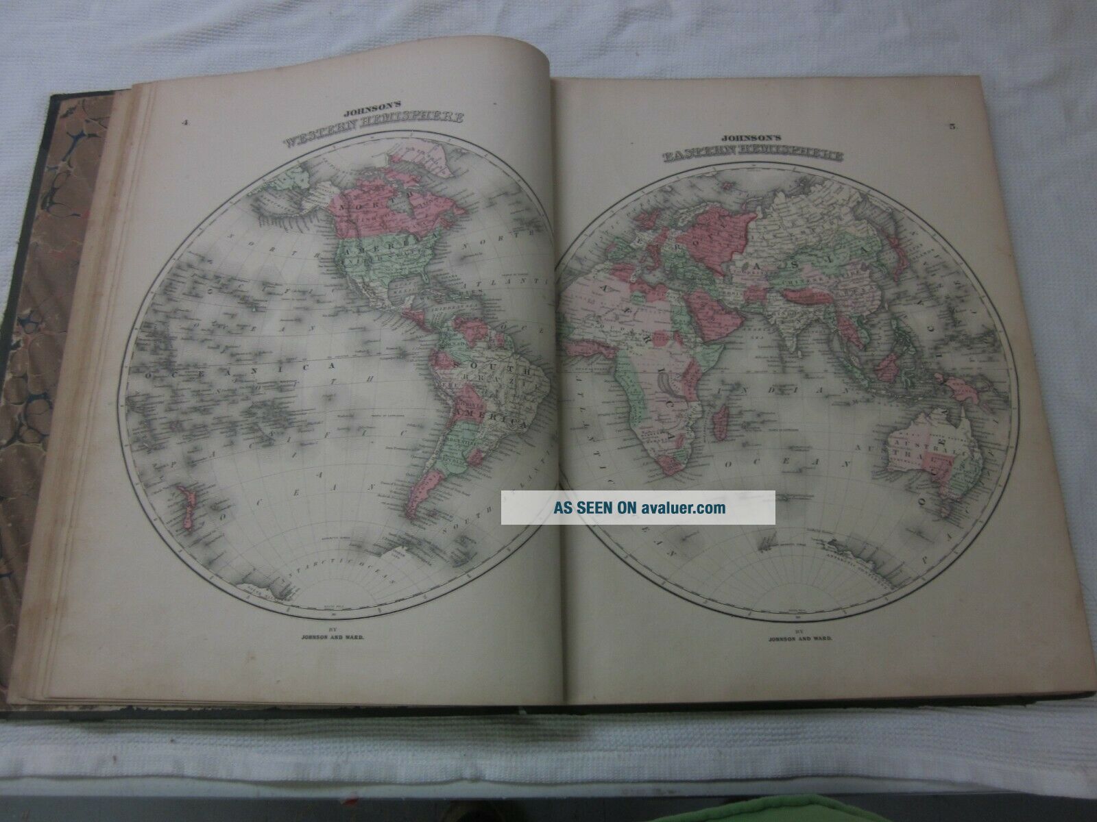
A VERY LARGE BOOK WITH COLORED ILLUSTRATIONS.DATED 1863 AND FEATURES THE FIRST ATLAS MAP OF THE STATE OF WEST VIRGINIA.THE BOOK IS COMPLETE COVER TO COVER AND ALL PAGES ARE IN VERY NICE CONDITION.

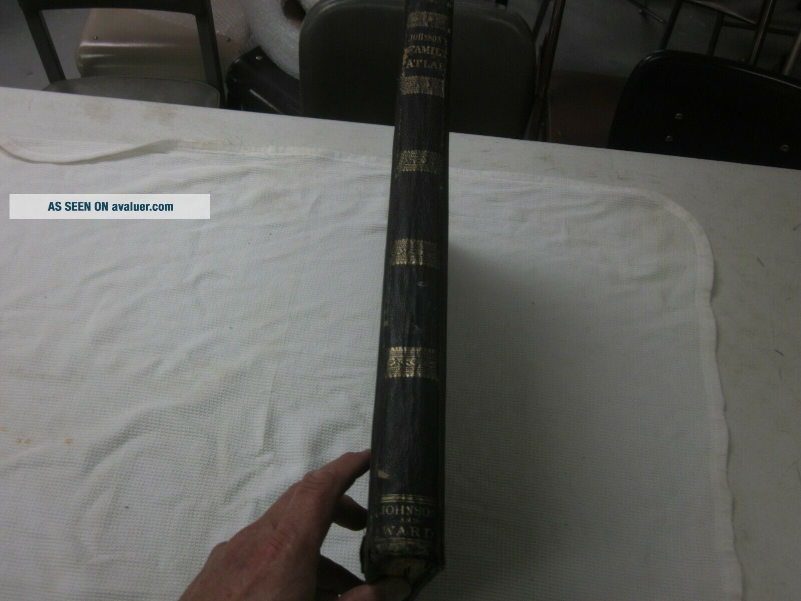
VERY LARGE ATLAS 19'X 15".FRONT AND BACK COVER AS WELL AS THE SPINE IS INTACT.CHECK MY PHOTOS FOR DETAILS AS THEY ARE PART OF MY DESCRIPT...ION.VERY RARE ATLAS TO FIND IN ANY CONDITION.SHIPS AT 11 POUND RATE IN A SECURE INSURED PACKAGE.

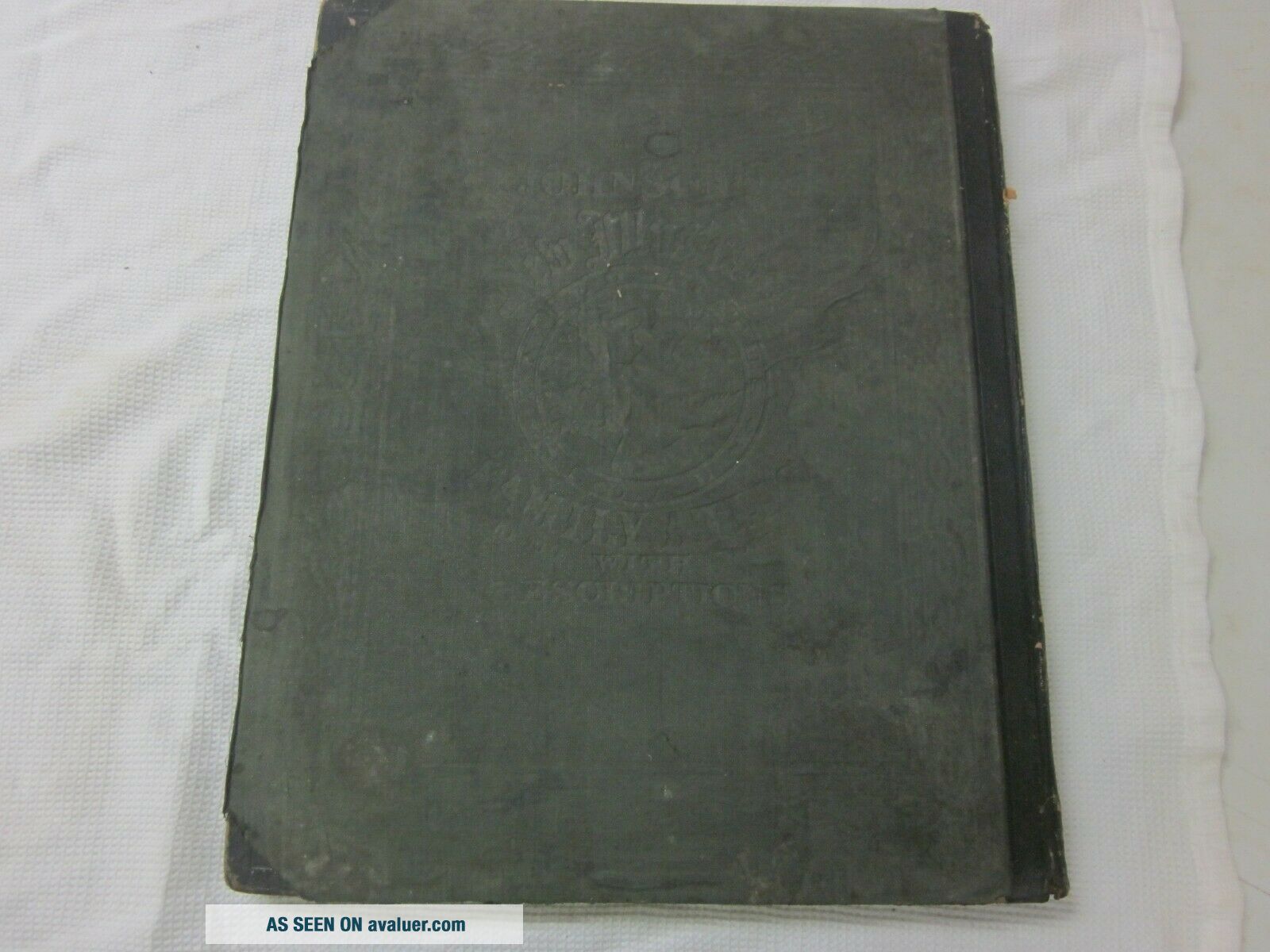
The atlas covering and binding is in fair to good condition, both are intact and could restored completely if one so wished.  The pages are in good to very good condition with minor staining and only a handful of minor tears (I can actually only find one but to be safe we will go with a handful.) 


    Similar items


  • 1863 Johnson

    1863 Johnson ' S Family Illustrated Atlas Map Plates Civil War

  • Antique Colored Map Of Illinois - Johnson

    Antique Colored Map Of Illinois - Johnson ' S Family Atlas 1863

  • Antique Colored Map Of York & Adj Cities / Johnson

    Antique Colored Map Of York & Adj Cities / Johnson ' S Family Atlas 1863

  • Antique Colored Map Of South America - Johnson

    Antique Colored Map Of South America - Johnson ' S Family Atlas 1863

  • Antique Colored Map Of England And Wales - Johnson

    Antique Colored Map Of England And Wales - Johnson ' S Family Atlas 1863

  • Antique Colored Map Of Scotland - Johnson

    Antique Colored Map Of Scotland - Johnson ' S Family Atlas 1863

  • - Antique Colored Map Of The World / Johnson

    - Antique Colored Map Of The World / Johnson ' S Family Atlas 1863

  • Antique Colored Map Of Germany (map No.  1) - Johnson

    Antique Colored Map Of Germany (map No. 1) - Johnson ' S Family Atlas 1863


    • You might also like


    • 1860 Mitchell Hand Colored Map Colorado,  Nebraska & Kansas - Civil War Era

      1860 Mitchell Hand Colored Map Colorado, Nebraska & Kansas - Civil War Era

    • 18th Century French Map Of North America

      18th Century French Map Of North America

    • Las Vegas Nevada Vintage 1967 Us Geological Survey Quadrangle Map 4 Panels

      Las Vegas Nevada Vintage 1967 Us Geological Survey Quadrangle Map 4 Panels

    • Rare Antique 1845 Maps United States Exploring Expedition Book Antartica Hawaii

      Rare Antique 1845 Maps United States Exploring Expedition Book Antartica Hawaii

    • Vintage 1926 Map Hollywood From The Best Surveys Of The Time

      Vintage 1926 Map Hollywood From The Best Surveys Of The Time

    • American Continent (western Hemisphere) 1747 Bowen Antique Copper Engraved Map

      American Continent (western Hemisphere) 1747 Bowen Antique Copper Engraved Map

    • Gulf Coast Florida Texas United States 1705 De Fer Unusual Antique Engraved Map

      Gulf Coast Florida Texas United States 1705 De Fer Unusual Antique Engraved Map

    • California As Island United States 1700 De Fer Unusual First Edition Antique Map

      California As Island United States 1700 De Fer Unusual First Edition Antique Map

Avaluer          About Us          Privacy Policy          Contact Us          UP
© 2022, avaluer.net, Inc. or its affiliates