1863 Johnson ' S Family Illustrated Atlas Map Plates Civil War


Item History & Price

Information:
Reference Number: Avaluer:27278319Format: Atlas Map
Year: 1863
Original Description:
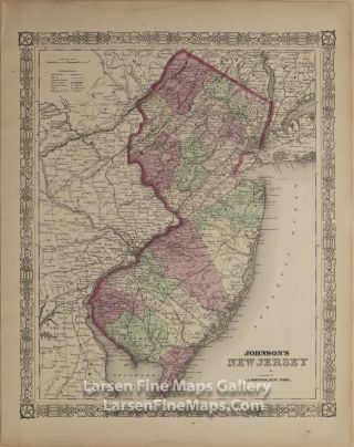
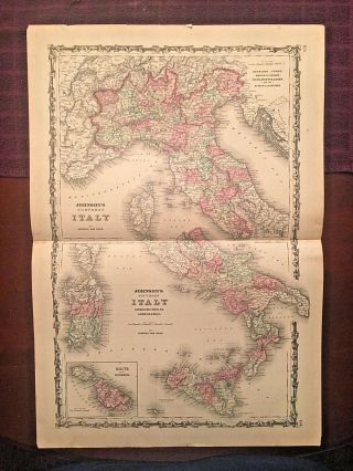
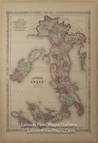
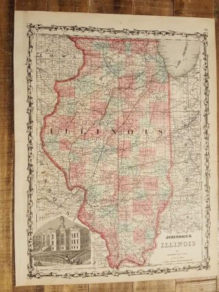
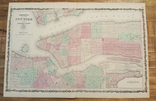
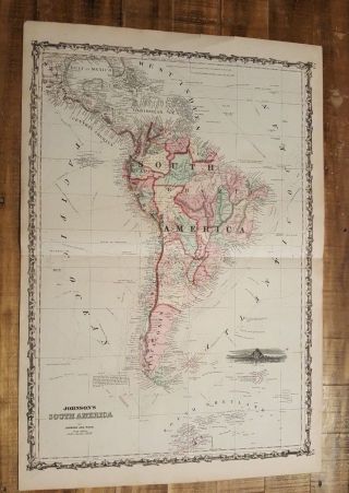
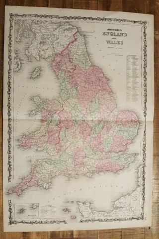
I have counted 95 maps in the book.  They all seem to be in very good shape, maybe 2-3 have tears in corner but they are not going onto the actual map except for the Florida One which I have taken photo.  There are some stains on the maps.  The damage is to the spine of the book which has come apart but without knowing much about books seems like it could be repaired.  But the maps look great to me.  I have tried to take photos that show enough of the book but ...please message me for more and I will send you as many as you need.  The atlas is large and heavy which is the reason for the shipping price and will make sure it is shipped extra well.   Again I am not an expert by any means on these so please message me about condition and I will be happy to send photos back to address any questions.  
Will ship via Fed Ex. 


    Similar items


  • 1863 Johnson

    1863 Johnson ' S Family Illustrated Atlas Colored Maps Steel Plate 1st Wv Map

  • 1866 Johnson

    1866 Johnson ' S Jersey, Rare Atlas Map

  • 1863 Johnson & Ward Hand Colored Atlas Map Of Italy

    1863 Johnson & Ward Hand Colored Atlas Map Of Italy

  • 1866 Johnson

    1866 Johnson ' S Italy, Rare Atlas Map

  • Antique Colored Map Of Illinois - Johnson

    Antique Colored Map Of Illinois - Johnson ' S Family Atlas 1863

  • Antique Colored Map Of York & Adj Cities / Johnson

    Antique Colored Map Of York & Adj Cities / Johnson ' S Family Atlas 1863

  • Antique Colored Map Of South America - Johnson

    Antique Colored Map Of South America - Johnson ' S Family Atlas 1863

  • Antique Colored Map Of England And Wales - Johnson

    Antique Colored Map Of England And Wales - Johnson ' S Family Atlas 1863


    • You might also like


    • 1860 Mitchell Hand Colored Map Colorado,  Nebraska & Kansas - Civil War Era

      1860 Mitchell Hand Colored Map Colorado, Nebraska & Kansas - Civil War Era

    • 18th Century French Map Of North America

      18th Century French Map Of North America

    • Las Vegas Nevada Vintage 1967 Us Geological Survey Quadrangle Map 4 Panels

      Las Vegas Nevada Vintage 1967 Us Geological Survey Quadrangle Map 4 Panels

    • Rare Antique 1845 Maps United States Exploring Expedition Book Antartica Hawaii

      Rare Antique 1845 Maps United States Exploring Expedition Book Antartica Hawaii

    • Vintage 1926 Map Hollywood From The Best Surveys Of The Time

      Vintage 1926 Map Hollywood From The Best Surveys Of The Time

    • American Continent (western Hemisphere) 1747 Bowen Antique Copper Engraved Map

      American Continent (western Hemisphere) 1747 Bowen Antique Copper Engraved Map

    • Gulf Coast Florida Texas United States 1705 De Fer Unusual Antique Engraved Map

      Gulf Coast Florida Texas United States 1705 De Fer Unusual Antique Engraved Map

    • California As Island United States 1700 De Fer Unusual First Edition Antique Map

      California As Island United States 1700 De Fer Unusual First Edition Antique Map

Avaluer          About Us          Privacy Policy          Contact Us          UP
© 2022, avaluer.net, Inc. or its affiliates