Antique Map Of MEXICO, CALIFORNIA & TEXAS, USA, By Rapkin & Tallis 1851
Item History & Price
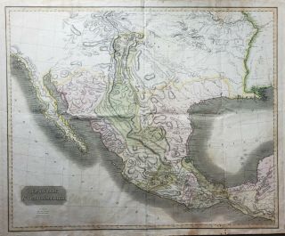
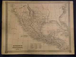
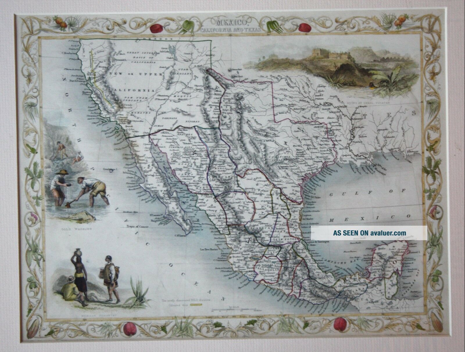
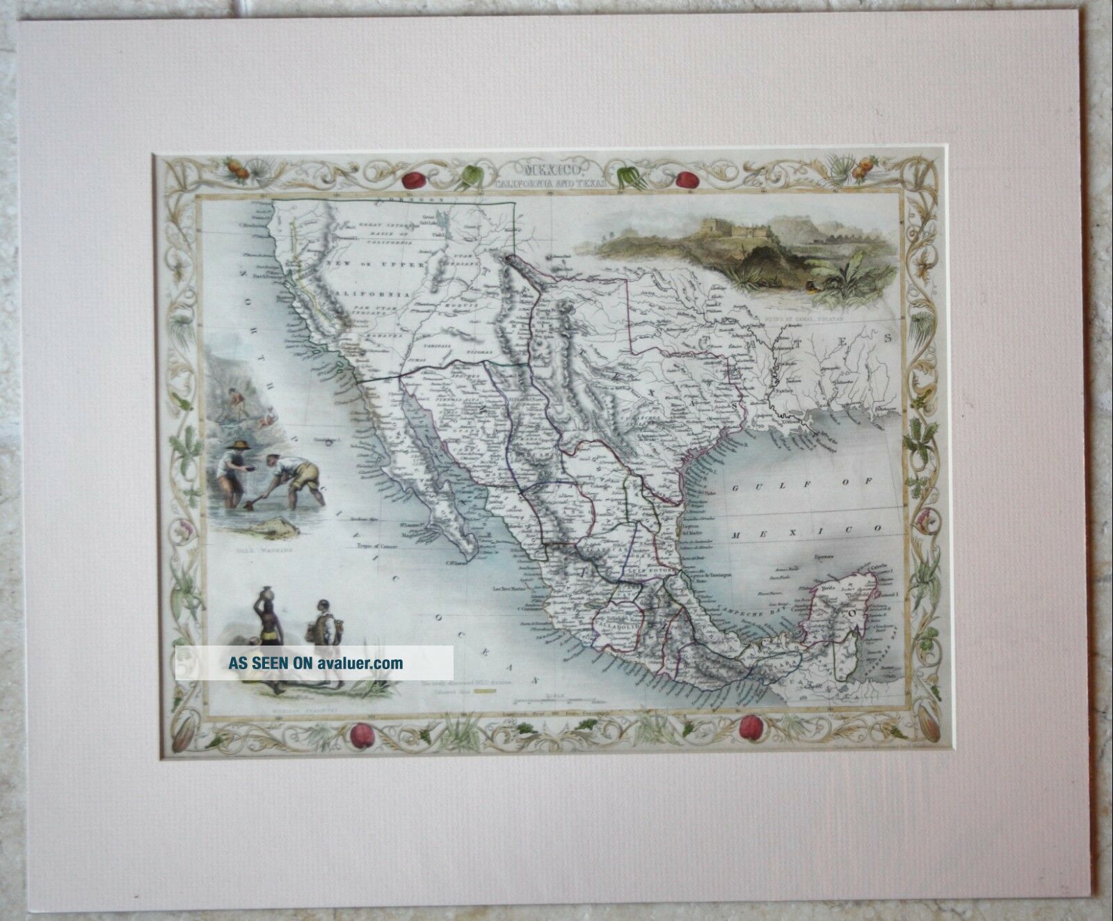
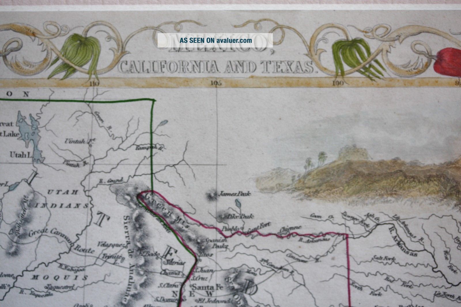
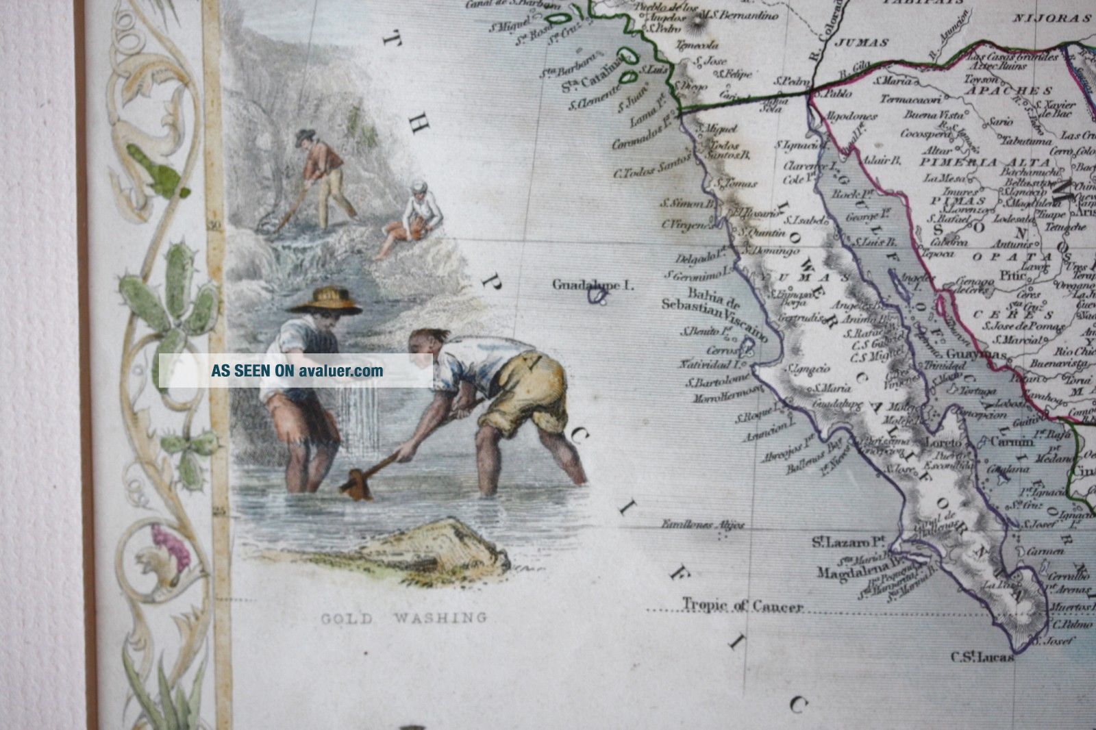
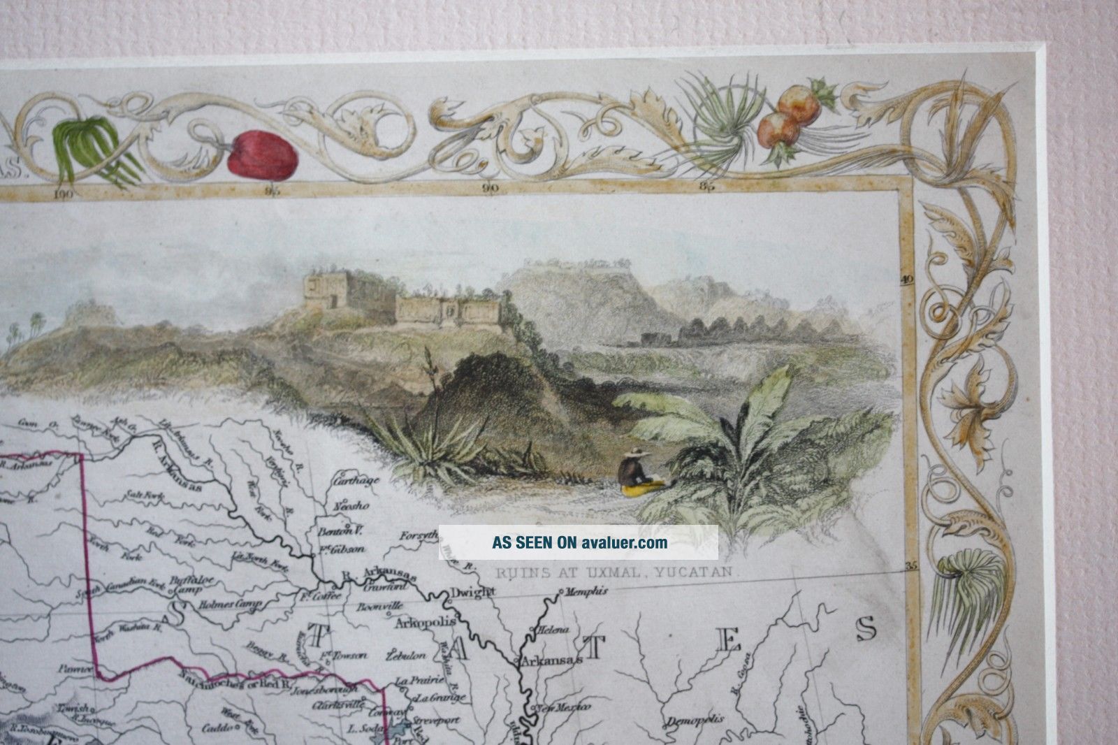
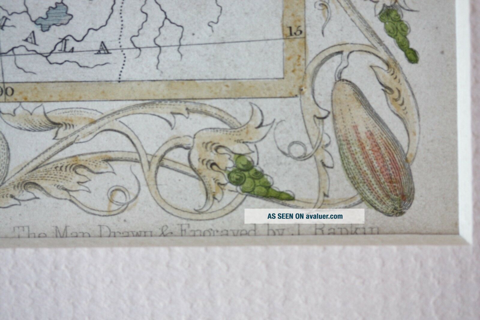
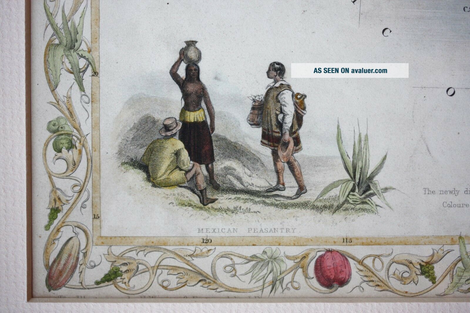
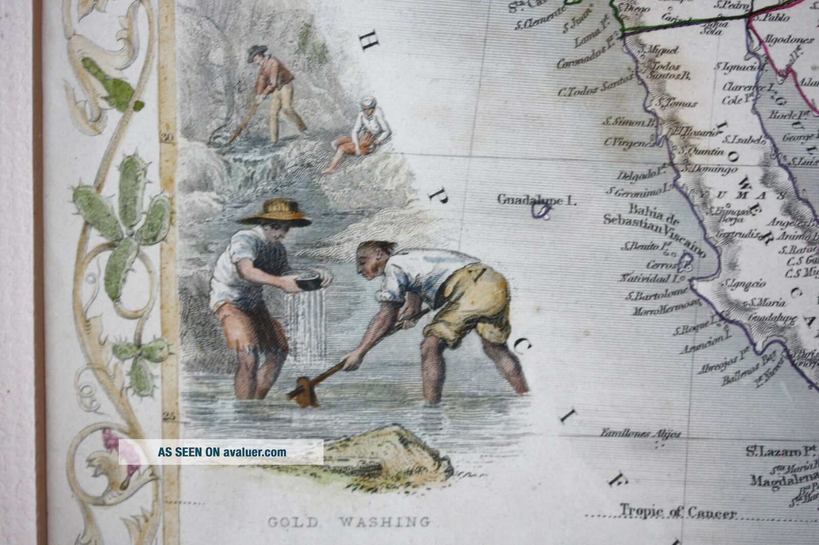
MEXICO, CALIFORNIA AND TEXASdrawn and engraved by John Rapkin for "The Illustrated Atlas andModern History of the World" published by Tallis & Co in 1851.An attractive and decorative mapof mid 19th century Mexico, California and Texas illustrated with vignette engravings of Mexican peasantry, Gold washingand ruins at Uxmal Yucatan.Rapkin includes thegold fields of Sacramento and the San Joaquin Valley, which were newly discovered gold districts in California. These districts a...re indicated with a gold line thatruns almost the entire length of California.Original outline hand-colouring which has been augmented with additional laterhand-colouring. The colouring of the vignettes, which was undertaken by a specialist, has enhanced the decorativeappeal of this attractive map even further.The very decorativeborders consist of native plants of the region.
Highly attractive illustrated and sought-after map, issued during one of themost important periods in the history of the United States.
In excellent condition andfrom the preferred edition without the central fold. This map was removed from the Atlas myself; the covers were in poor condition and a few of the maps were already missing.
Printed on heavy grade paper, blank verso and unfolded. Mounted in a cream mount, protectedin cellophane and ready for framing or for giving as a gift. Dimensions: Mount 45 x 38 cm; Image (mount window) 33.5 x 25.5 cmThe higher postage cost is due to the size as it will be posted flat between two pieces of cardboard.