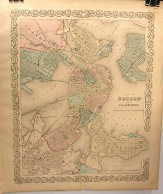
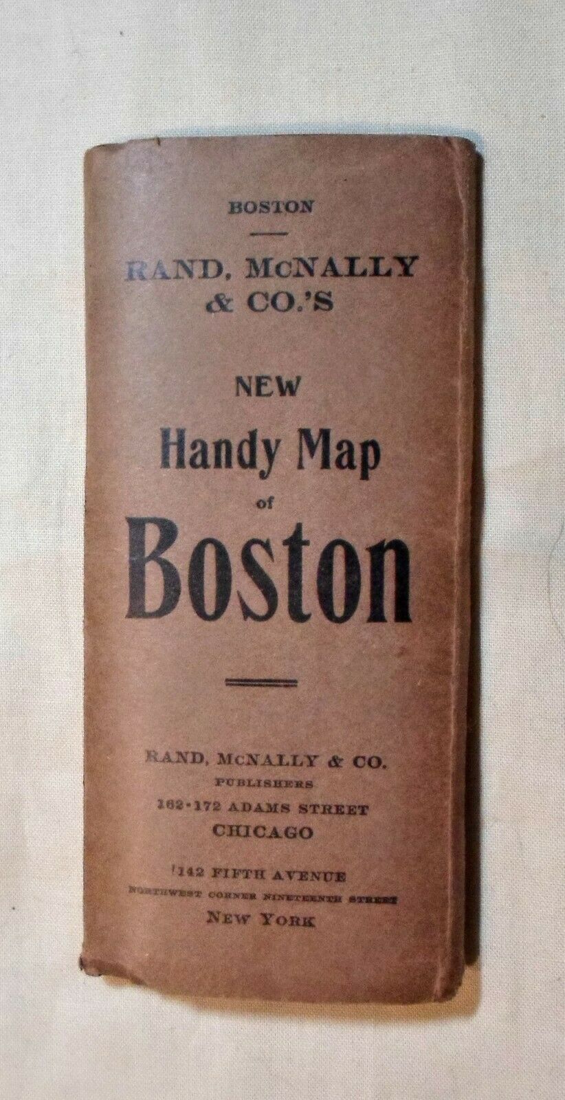
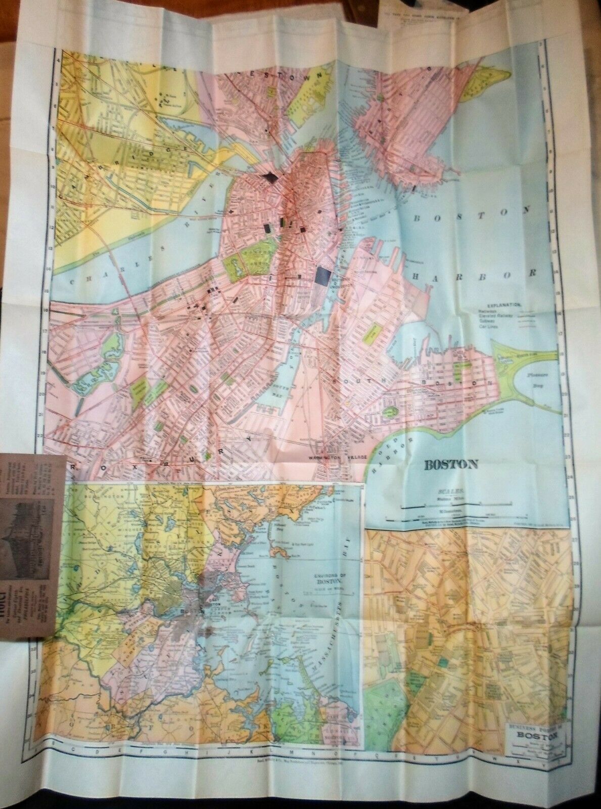
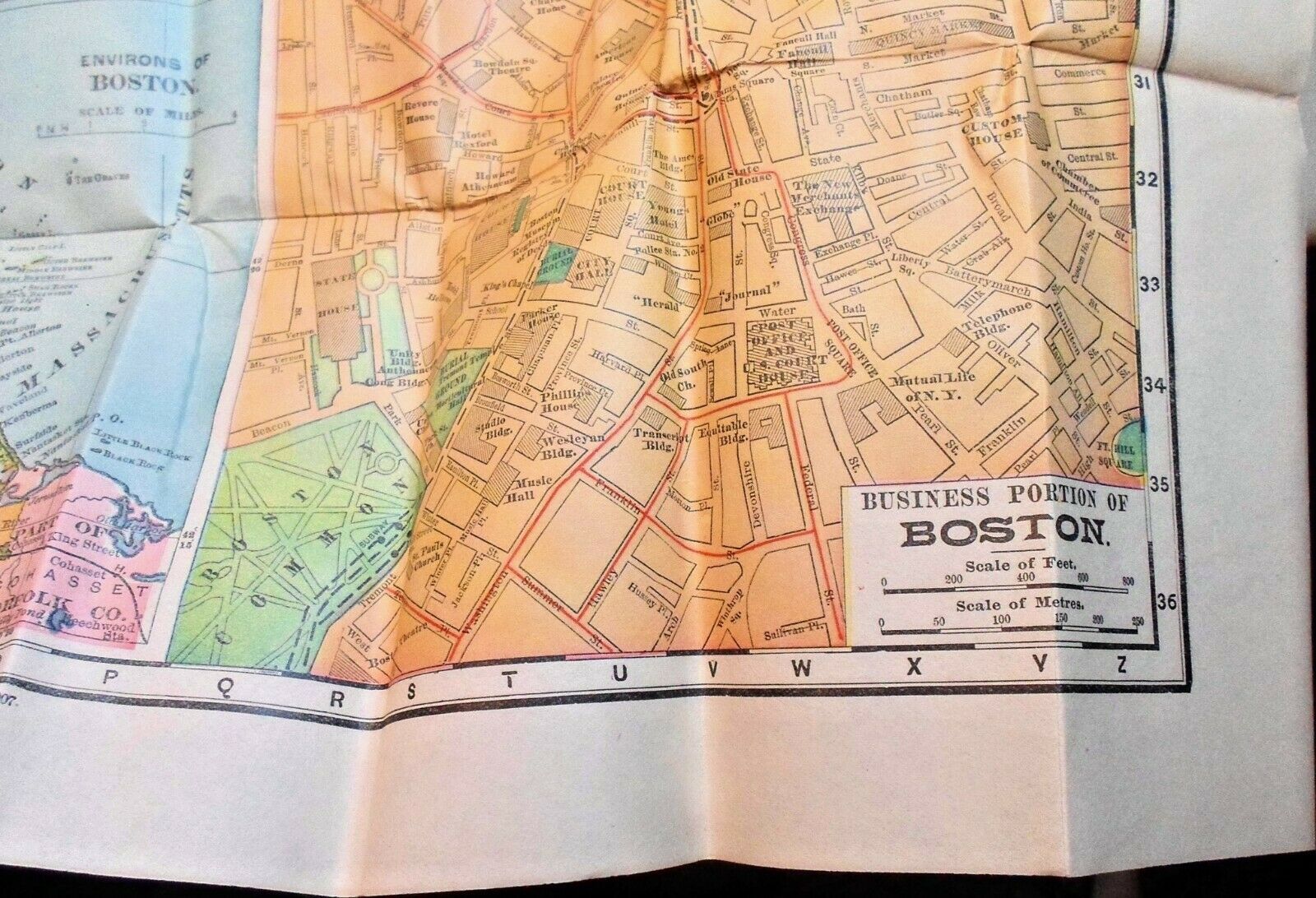
Antique Rand McNally Handy Map BOSTON, MASS Copyrights 1891 & 1907
Item History & Price
| Reference Number: Avaluer:14272272 | Original/Reproduction: Antique Original |
| US State: Massachusetts | Type: City Map |
| City: Boston | Year: 1907 |
| Date Range: 1900-1909 |
BUY IT NOW OR MAKE YOUR BEST OFFER
FAIR SHIPPING
Neat old pocket size folding map of Boston in about as fine condition as you'll find!
Note: All our items are used antiques. They will have some normal expected wear; only condition issues beyond expected will be noted. Pictures are not enhanced but due to various equipment (cameras, monitors, phones etc) may not be an exact representation of the item. Please review all pictures then ask any questions as needed to make a res...ponsible purchase. Thank you!"Free Shipping" is a common come-on from the large online stores but no matter what Amazon etc. says, there is NO such thing as Free Shipping! Try mailing a letter without a stamp and see how far it goes. You are paying for it whether hidden or up front as in my listings. There is No profit made on shipping my items keeping in mind that packaging materials, etc. are also not free.What I do offer is Fair Shipping!