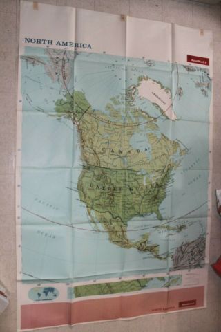
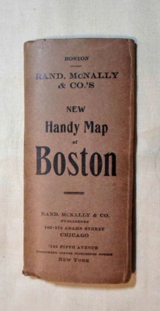
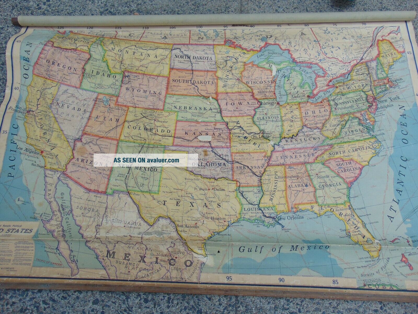
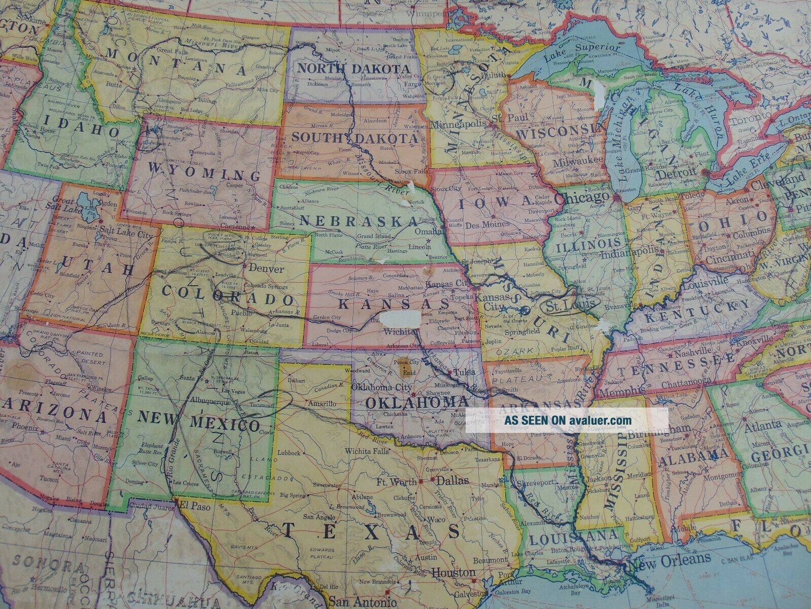
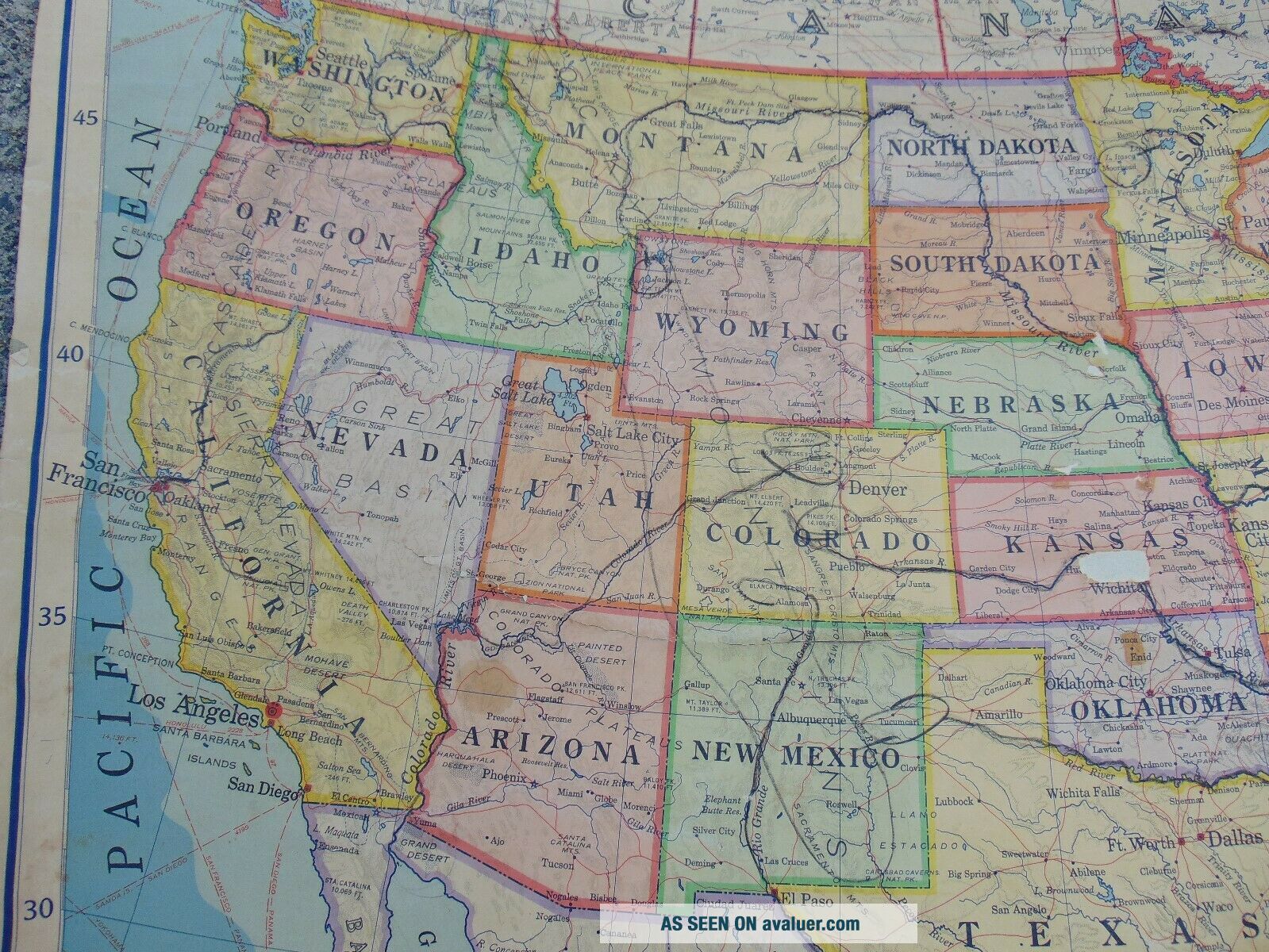
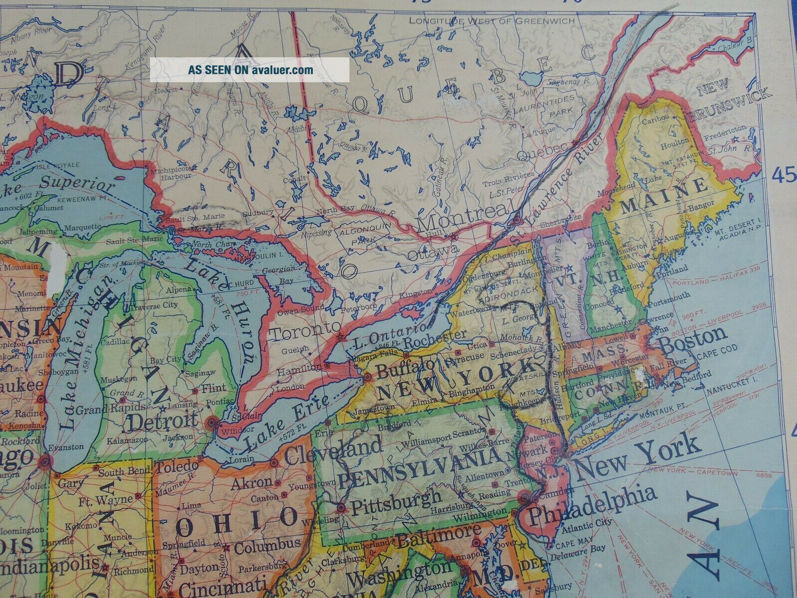
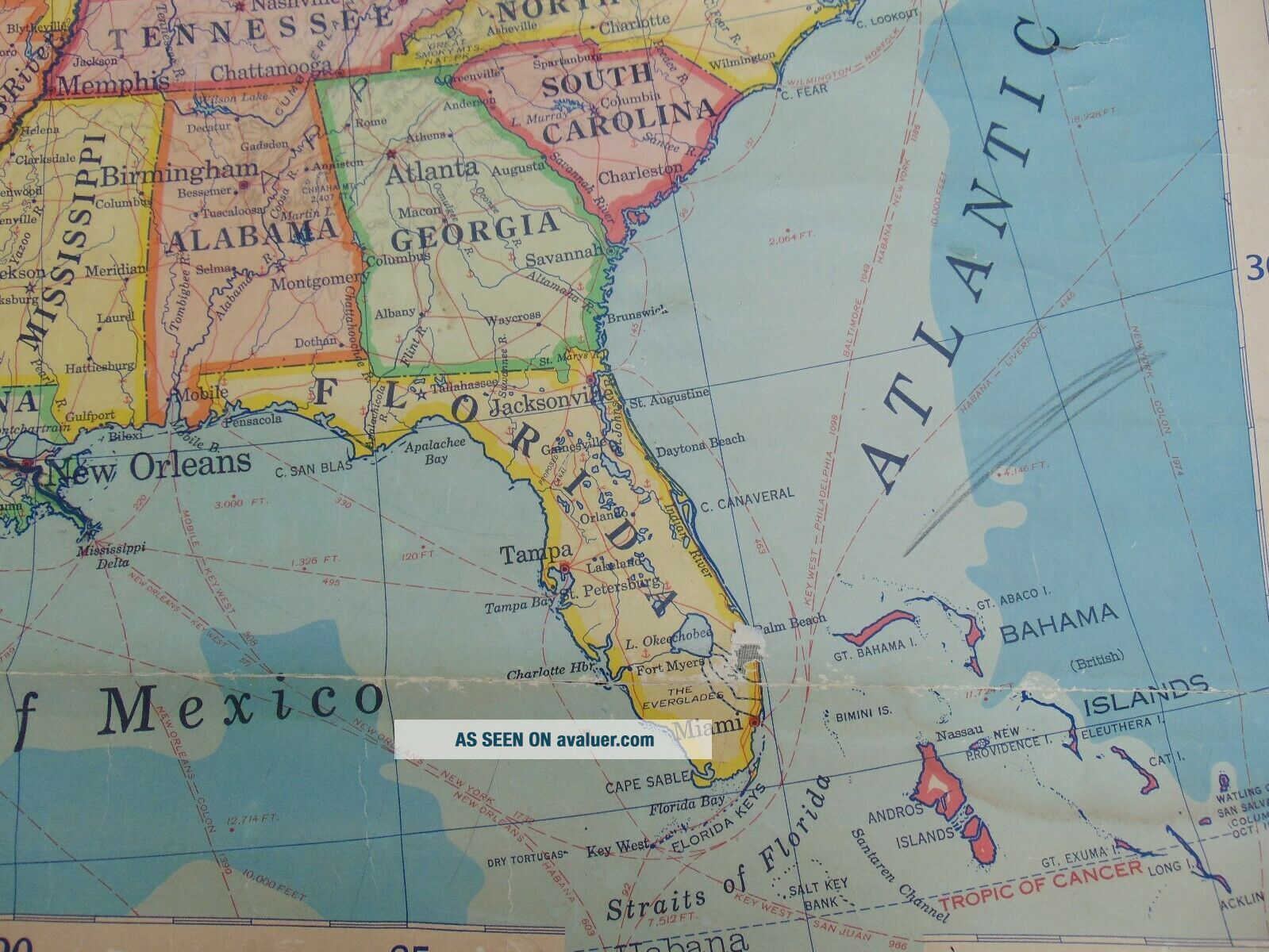
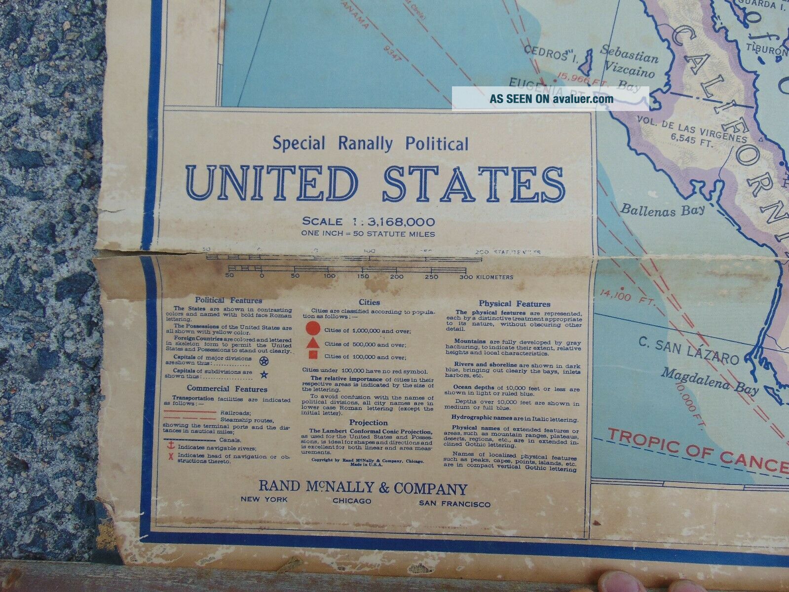
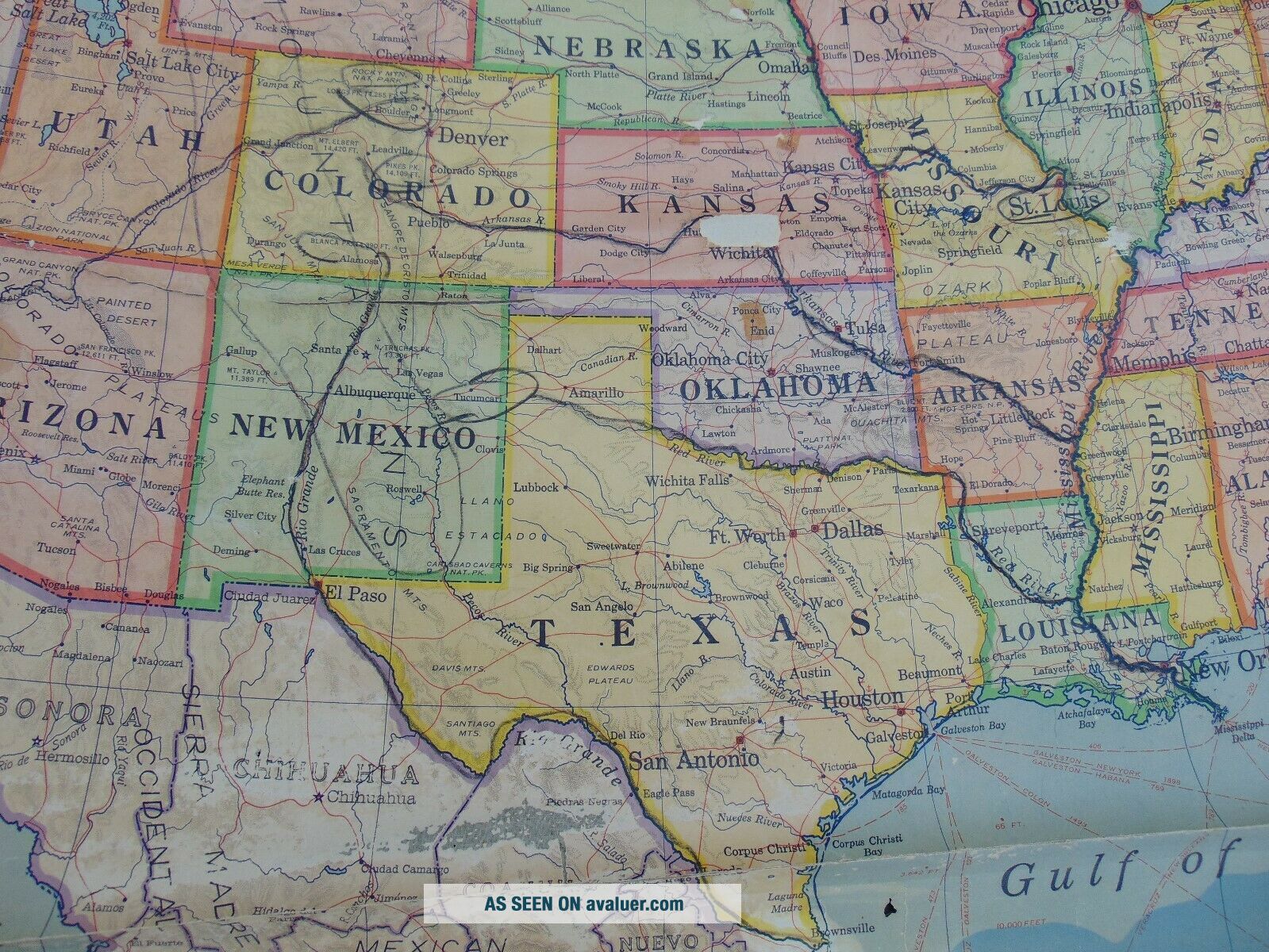
C. 1920 ANTIQUE RAND McNALLY SCHOOL MAP Of The UNITED STATES 64 X 41 Inches.


Item History & Price

Information:
Reference Number: Avaluer:3813914Cartographer/Publisher: Rand McNally
Year: circa 1920Original/Reproduction: Vintage Original
Date Range: 1920-1929Format: School Map
Country/Region: United States of AmericaType: School Map
Original Description:
This old roll down school map of the USA appears to date from the 1920's. The map measures approx. 64 inches wide by 41 inches long. There is a wooden dowel at the top and a slat of wood at the bottom. There is a crease in the map near the bottom, and a few areas of wear including a 2 inch long area in Kansas. Some of the rivers and borders appear to have been highlighted in crayon. Overall good condition! NO RESERVE!


    Similar items


  • Rand Mcnally School Map Of The United States And Alaska Pull Down Salesman Samp

    Rand Mcnally School Map Of The United States And Alaska Pull Down Salesman Samp

  • Ca 1920 Canada Rand Mcnally Commercial Map Railroads Provinces,  Towns,  Villages

    Ca 1920 Canada Rand Mcnally Commercial Map Railroads Provinces, Towns, Villages

  • Antique Rand Mcnally Pocket Map Shippers Guide Of California 1897 Railroad Ca

    Antique Rand Mcnally Pocket Map Shippers Guide Of California 1897 Railroad Ca

  • Antique Rand Mcnally Offical Map Indian & Oklahoma Territories & Cherokee Outlet

    Antique Rand Mcnally Offical Map Indian & Oklahoma Territories & Cherokee Outlet

  • Antique Rand Mcnally Handy Map Boston,  Mass Copyrights 1891 & 1907

    Antique Rand Mcnally Handy Map Boston, Mass Copyrights 1891 & 1907

  • 1920

    1920 ' S Rand Mcnally Radio Map Of United States Warren Paints Nashville Tenn Bo78

  • 1928 Political Map Republican Democratic Candidates Antique Rand Mcnally Usa Map

    1928 Political Map Republican Democratic Candidates Antique Rand Mcnally Usa Map

  • San Francisco Vest Pocket Map Rand Mcnally C.  1920

    San Francisco Vest Pocket Map Rand Mcnally C. 1920


    • You might also like


    • 1860 Mitchell Hand Colored Map Colorado,  Nebraska & Kansas - Civil War Era

      1860 Mitchell Hand Colored Map Colorado, Nebraska & Kansas - Civil War Era

    • 18th Century French Map Of North America

      18th Century French Map Of North America

    • Las Vegas Nevada Vintage 1967 Us Geological Survey Quadrangle Map 4 Panels

      Las Vegas Nevada Vintage 1967 Us Geological Survey Quadrangle Map 4 Panels

    • Rare Antique 1845 Maps United States Exploring Expedition Book Antartica Hawaii

      Rare Antique 1845 Maps United States Exploring Expedition Book Antartica Hawaii

    • Vintage 1926 Map Hollywood From The Best Surveys Of The Time

      Vintage 1926 Map Hollywood From The Best Surveys Of The Time

    • American Continent (western Hemisphere) 1747 Bowen Antique Copper Engraved Map

      American Continent (western Hemisphere) 1747 Bowen Antique Copper Engraved Map

    • Gulf Coast Florida Texas United States 1705 De Fer Unusual Antique Engraved Map

      Gulf Coast Florida Texas United States 1705 De Fer Unusual Antique Engraved Map

    • California As Island United States 1700 De Fer Unusual First Edition Antique Map

      California As Island United States 1700 De Fer Unusual First Edition Antique Map

Avaluer          About Us          Privacy Policy          Contact Us          UP
© 2022, avaluer.net, Inc. or its affiliates