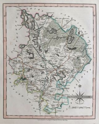
Antique Map CORNWALL, John Cary, 1809
Item History & Price
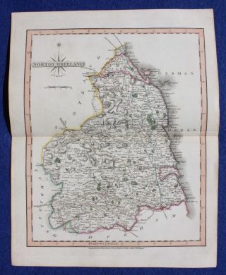
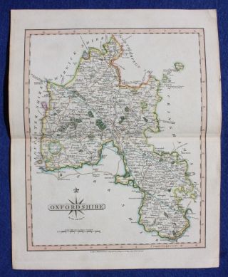
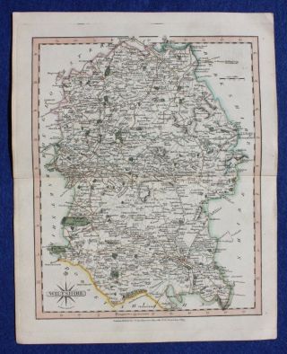
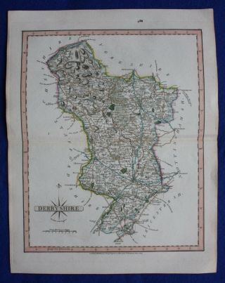
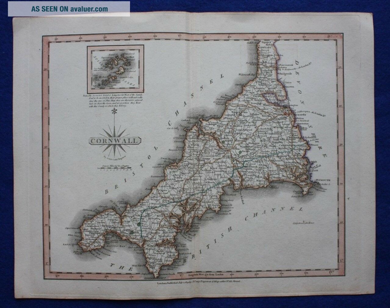
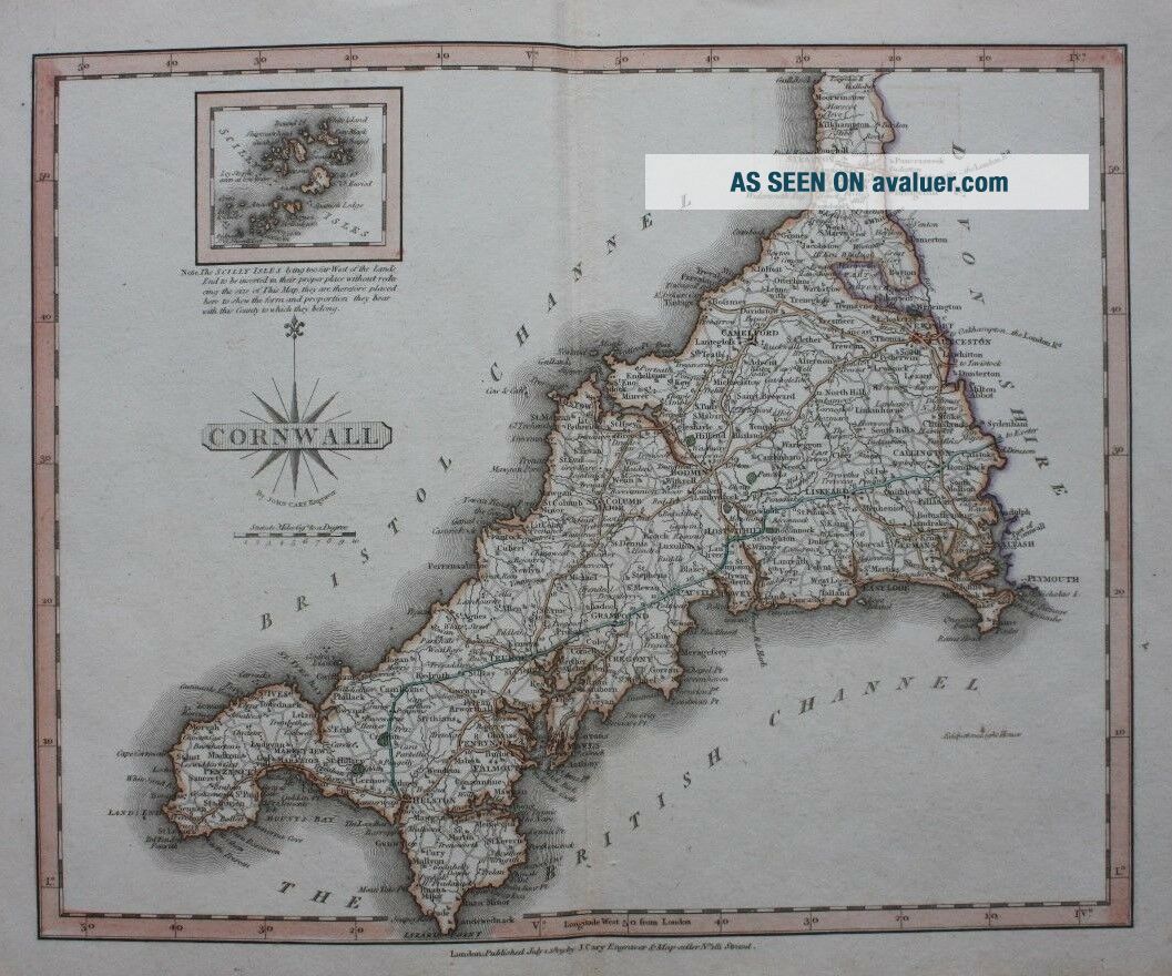
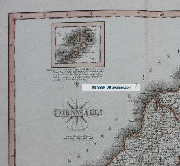
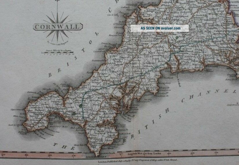
Title / Subject: Cornwall
Date: 1809
Size: Approximately 244mm x 308mm (sheet size including margins), blank verso.
Description: A finely engraved, and attractively hand coloured, map of Cornwall. This map, published in the 1809 edition of Cary's 'New and Correct Atlas' was printed from newly engraved plates, resulting in a very fine print impression. In addition to the imprint at the bottom of the map it can also be identified by the impression of the plate which extends 1/2 ...an inch beyond the border of the map, instead of 1/4 of an inch as in earlier issues.
Cartographer / Engraver: John Cary
Provenance: 'Cary's New and Correct English Atlas: Being a New Set of County Maps from Actual Surveys ...', London, 1809.
Condition: Excellent condition. Light age toning. Hand coloured. Centrefold crease. Please study all the photographs carefully to fully appreciate the condition.
Ref: #03239