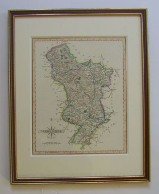
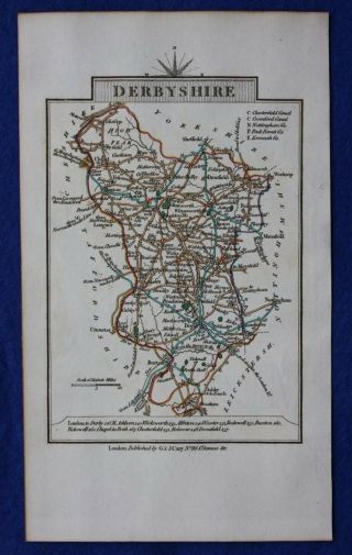
Antique Map DERBYSHIRE, John Cary, 1809


Item History & Price
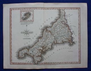
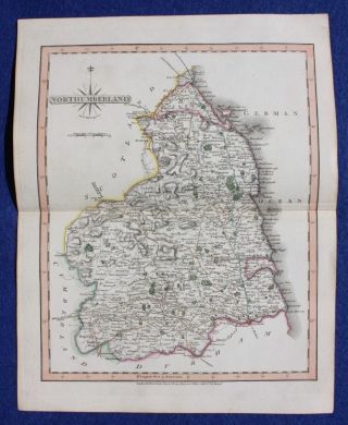
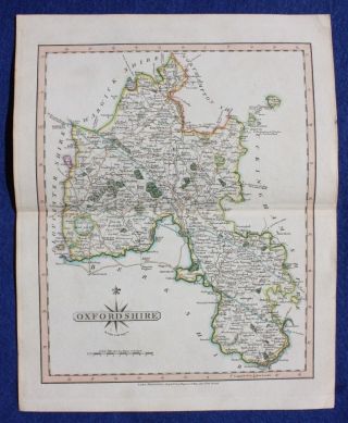
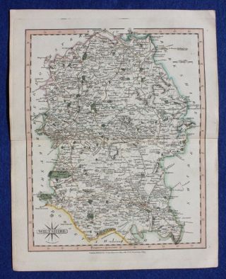
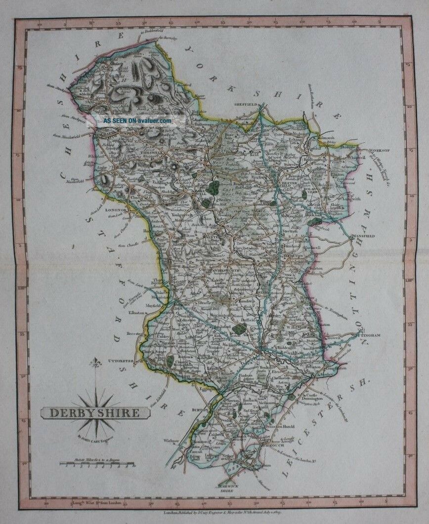
Title / Subject: Derbyshire
Date: 1809
Size: Approximately 244mm x 308mm (sheet size including margins), blank verso.
Description: A finely engraved, and attractively hand coloured, map of Derbyshire. This map, published in the 1809 edition of Cary's 'New and Correct Atlas' was printed from newly engraved plates, resulting in a very fine print impression. In addition to the imprint at the bottom of the map it can also be identified by the impression of the plate which extends ...1/2 an inch beyond the border of the map, instead of 1/4 of an inch as in earlier issues.
Cartographer / Engraver: John Cary
Provenance: 'Cary's New and Correct English Atlas: Being a New Set of County Maps from Actual Surveys ...', London, 1809.
Condition: Excellent condition. Light age toning. Hand coloured. Centrefold crease. Small stain to the top margin, not affecting the printed area. Please study all the photographs carefully to fully appreciate the condition.
Ref: #03241