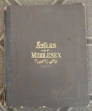
Atlas Of Middlesex County Massachusetts F. W. Beers 1875 1st Edition Rare Book


Item History & Price

Information:
Reference Number: Avaluer:27354374Format: Atlas
Date Range: 1800-1899Year: 1875
Country/Region: MiddlesexUS State: Massachusetts
Original Description:
First Edition. Includes table of contents, distances, populations and business directories and notices. 164 pages with over 100 pages of high detailed coloured maps. Large format book measures 16" X 13".From Actual Surveys by and under the direction Of F.W. Beers. Published by J.B. Beers & C0.Engraved by L.E. Newman. Printed By Charles Hart.Includes town plans, city and village plans of Middlesex County Massachusetts.


    Similar items


  • Rare Atlas Of Worcester County Massachusetts F.  W.  Beers Edition 1870 Folio

    Rare Atlas Of Worcester County Massachusetts F. W. Beers Edition 1870 Folio

  • 1873 Atlas Of Washington County,  Vt F.  W.  Beers

    1873 Atlas Of Washington County, Vt F. W. Beers

  • 1872 Antique Atlas Of Wayne County Pennsylvania F.  W.  Beers Hand - Colored Maps

    1872 Antique Atlas Of Wayne County Pennsylvania F. W. Beers Hand - Colored Maps

  • Antique 1870 Atlas Of Worcester County Mass - F W Beers & Co

    Antique 1870 Atlas Of Worcester County Mass - F W Beers & Co

  • Antique Book 1874 Atlas Of Litchfield County Connecticut F.  W.  Beers & Co.

    Antique Book 1874 Atlas Of Litchfield County Connecticut F. W. Beers & Co.

  • Antique Atlas Of Genesee County Mi.  F W Beers & Co 1873

    Antique Atlas Of Genesee County Mi. F W Beers & Co 1873

  • Atlas Of Windsor County Vermont F W Beers,  Town Plans Maps History Woodstock Vt

    Atlas Of Windsor County Vermont F W Beers, Town Plans Maps History Woodstock Vt

  • Antique Book / Atlas Of Middlesex County Massachusetts C.  1875 J.  B.  Beers

    Antique Book / Atlas Of Middlesex County Massachusetts C. 1875 J. B. Beers


    • You might also like


    • 1860 Mitchell Hand Colored Map Colorado,  Nebraska & Kansas - Civil War Era

      1860 Mitchell Hand Colored Map Colorado, Nebraska & Kansas - Civil War Era

    • 18th Century French Map Of North America

      18th Century French Map Of North America

    • Las Vegas Nevada Vintage 1967 Us Geological Survey Quadrangle Map 4 Panels

      Las Vegas Nevada Vintage 1967 Us Geological Survey Quadrangle Map 4 Panels

    • Rare Antique 1845 Maps United States Exploring Expedition Book Antartica Hawaii

      Rare Antique 1845 Maps United States Exploring Expedition Book Antartica Hawaii

    • Vintage 1926 Map Hollywood From The Best Surveys Of The Time

      Vintage 1926 Map Hollywood From The Best Surveys Of The Time

    • American Continent (western Hemisphere) 1747 Bowen Antique Copper Engraved Map

      American Continent (western Hemisphere) 1747 Bowen Antique Copper Engraved Map

    • Gulf Coast Florida Texas United States 1705 De Fer Unusual Antique Engraved Map

      Gulf Coast Florida Texas United States 1705 De Fer Unusual Antique Engraved Map

    • California As Island United States 1700 De Fer Unusual First Edition Antique Map

      California As Island United States 1700 De Fer Unusual First Edition Antique Map

Avaluer          About Us          Privacy Policy          Contact Us          UP
© 2022, avaluer.net, Inc. or its affiliates