Antique Map ROBERT MORDEN NORTHAMPTONSHIRE 1695


Item History & Price

Information:
Reference Number: Avaluer:35776Format: Sheet Map
County: NorthamptonshireRegion: UK
Original/Reproduction: Antique OriginalAntique/ Modern: Antique
Country/Region: EnglandType: County Map
Printing Technique: Copper PlateYear: 1695
Cartographer/Publisher: Robert Morden
Original Description:
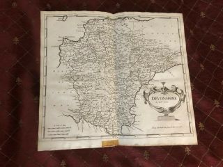
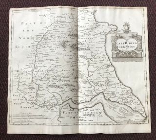
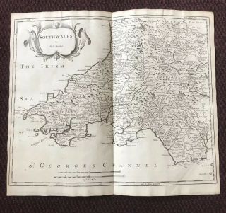
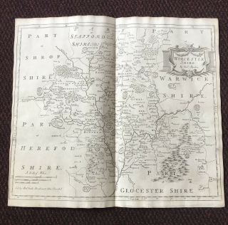
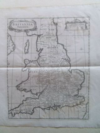
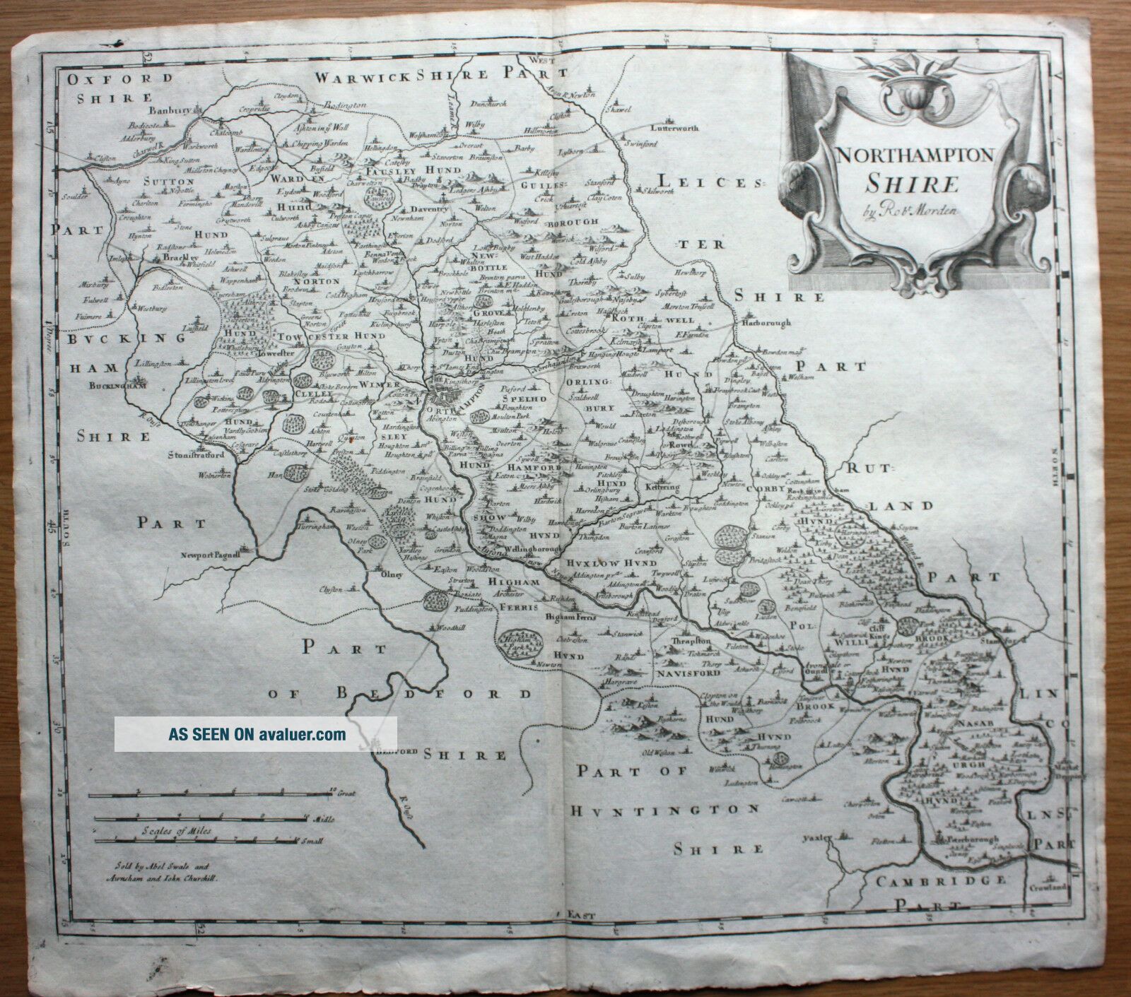
A copper-engraved uncoloured example of Robert Morden’s map of Northamptonshire published in 1695 as part Camden’s ‘Britannia’. The map details place names and topographical features and includes a decorative title cartouche, scale of miles and the seller’s imprint of Abel Swale and Awnsham & John Churchill. The map measures approximately 415mm x 360mm with margins beyond and is blank verso. 
Condition report:  good with light toning, centrefo...ld as issued and occasional creasing and nicks to the very edges of the sheet (see photograph).


    Similar items


  • 1695 County Of Devonshire Devon English Antique Map Robert Morden

    1695 County Of Devonshire Devon English Antique Map Robert Morden

  • 1695 Map Of East Riding Of Yorkshire English Antique Map Robert Morden

    1695 Map Of East Riding Of Yorkshire English Antique Map Robert Morden

  • 1695 Map Of South Wales Welsh Antique Map Robert Morden Rare

    1695 Map Of South Wales Welsh Antique Map Robert Morden Rare

  • 1695 County Of Worcestershire English Antique Map Robert Morden Rare

    1695 County Of Worcestershire English Antique Map Robert Morden Rare

  • Britannia Saxonica Antique Map By Robert Morden Dated 1695 Camdens Britannica

    Britannia Saxonica Antique Map By Robert Morden Dated 1695 Camdens Britannica

  • Antique Map Of Kent By Robert Morden C.  1695

    Antique Map Of Kent By Robert Morden C. 1695

  • Kingdom Of Ireland Map.  17th Century Copperplate Map Robert Morden 1695

    Kingdom Of Ireland Map. 17th Century Copperplate Map Robert Morden 1695

  • Antique Map Of Cornwall By Robert Morden C.  1695 - Hand Coloured

    Antique Map Of Cornwall By Robert Morden C. 1695 - Hand Coloured


    • You might also like


    • Hungary & Romania 1579 (1584) Ortelius Unusual Antique Copper Engraved Map

      Hungary & Romania 1579 (1584) Ortelius Unusual Antique Copper Engraved Map

    • Brussels Bruxelles Belfium 1777 De Ferraris & Dupuis Large Antique Map Sheet Xxi

      Brussels Bruxelles Belfium 1777 De Ferraris & Dupuis Large Antique Map Sheet Xxi

    • 1616 Atlas Map Of Iceland.

      1616 Atlas Map Of Iceland.

    • Kazan Russia 1767 Le Clerc/lespinasse Antique Copper Engraved City View

      Kazan Russia 1767 Le Clerc/lespinasse Antique Copper Engraved City View

    • 1899 Stanford,  Folding Map Of Norwich,  Norfolk,  Arthur Collins,  Jarrold & Sons,

      1899 Stanford, Folding Map Of Norwich, Norfolk, Arthur Collins, Jarrold & Sons,

    • 1948 Vintage Linen Colour Map Geological Survey Ten Mile Of Great Britain

      1948 Vintage Linen Colour Map Geological Survey Ten Mile Of Great Britain

    • 1944 Map Flying Bombs Sussex Ww2 Newspaper Military Kent Courier German V1 V2

      1944 Map Flying Bombs Sussex Ww2 Newspaper Military Kent Courier German V1 V2

    • Dated 1638 Vellum Map Of Icklesham Sussex Showing Land Uses Owners Etc

      Dated 1638 Vellum Map Of Icklesham Sussex Showing Land Uses Owners Etc

Avaluer          About Us          Privacy Policy          Contact Us          UP
© 2022, avaluer.net, Inc. or its affiliates