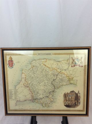
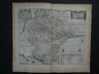
1695 COUNTY Of DEVONSHIRE Devon English Antique Map ROBERT MORDEN
Item History & Price
| Reference Number: Avaluer:47086 | County: Devon |
| Date Range: 1600-1699 | Format: Atlas Map |
| Country/Region: England | Type: Country |
| Era: 1700s | Year: 1695 |
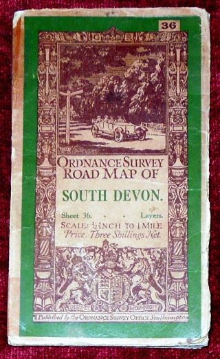
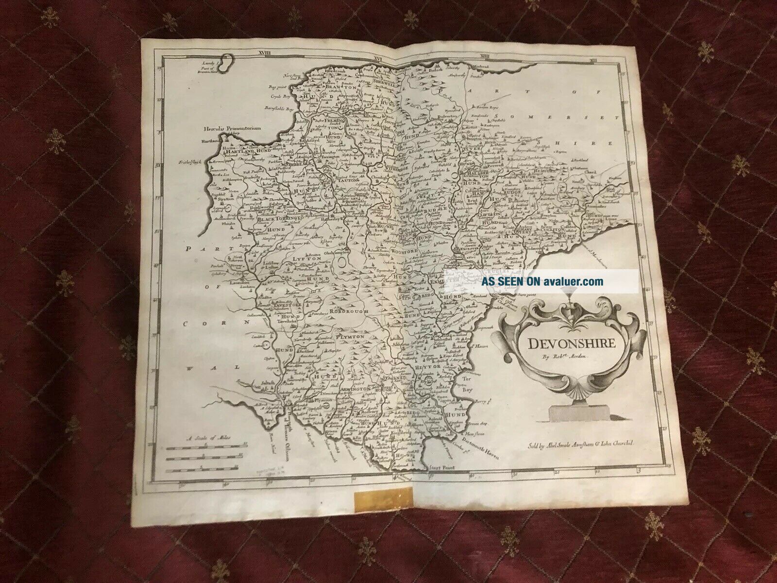
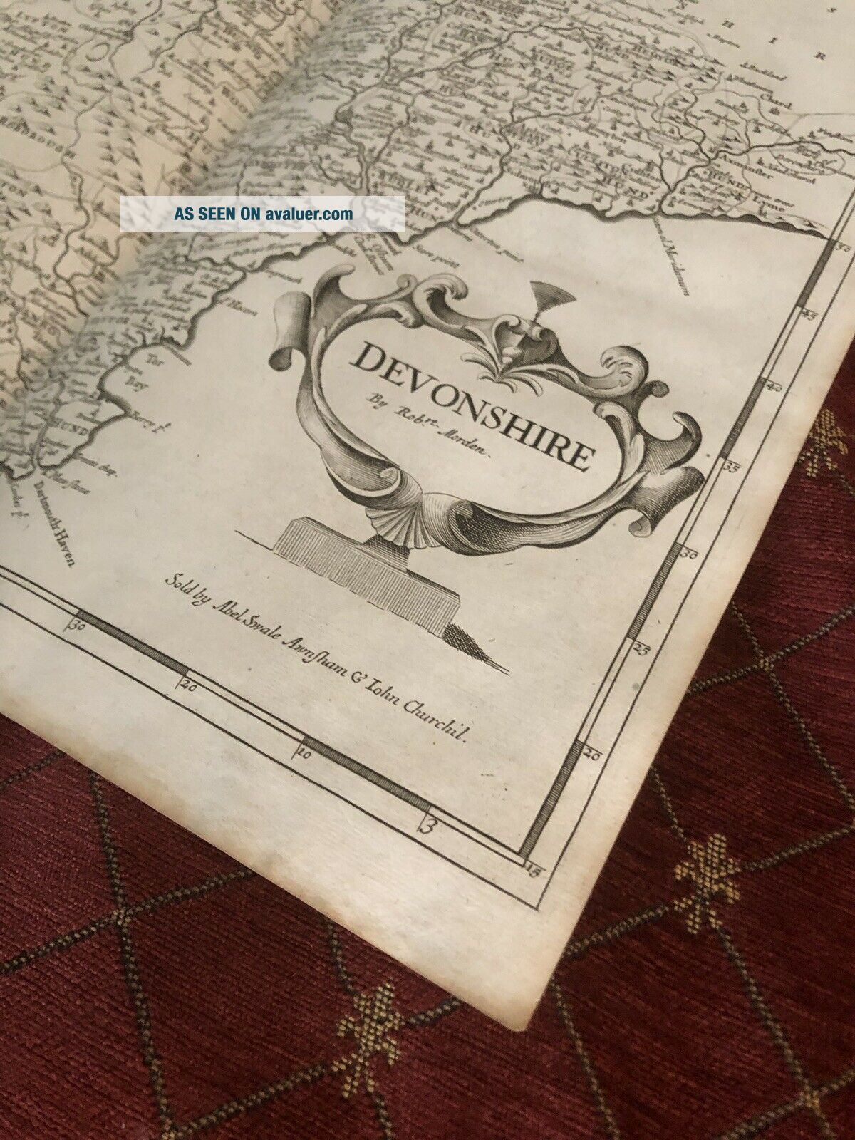
MAP OF DEVONSHIRE 1695
A fine and rare Copper Engraved original antique Map of the County of Devonshire with decorative Cartouche. This example is from the very rare Gibson First Edition in 1695, significantly rarer than the 1722 and later editions.
This map comes from ''Camden's Britannia, Newly Translated into English: with large additions and improvements. Translated by Edmund Gibson, 1695.'' This is the first edition of Edmund Gibson's translation, and the first to co...ntain the Morden maps.
This map measures approx 45 x 39cm. A lot of these maps have been later hand-coloured but this one is in its original state.
Very good clean condition. No tears, small sellotape mark to bottom margin that would be obscured if the map was professionally mounted. Just the light crease down the centre where the map has been folded within the book.
Will be posted rolled and in a strong cardboard posting tube