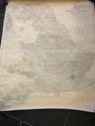
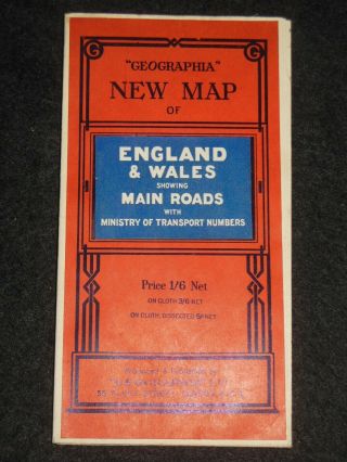
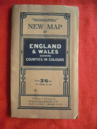
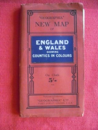
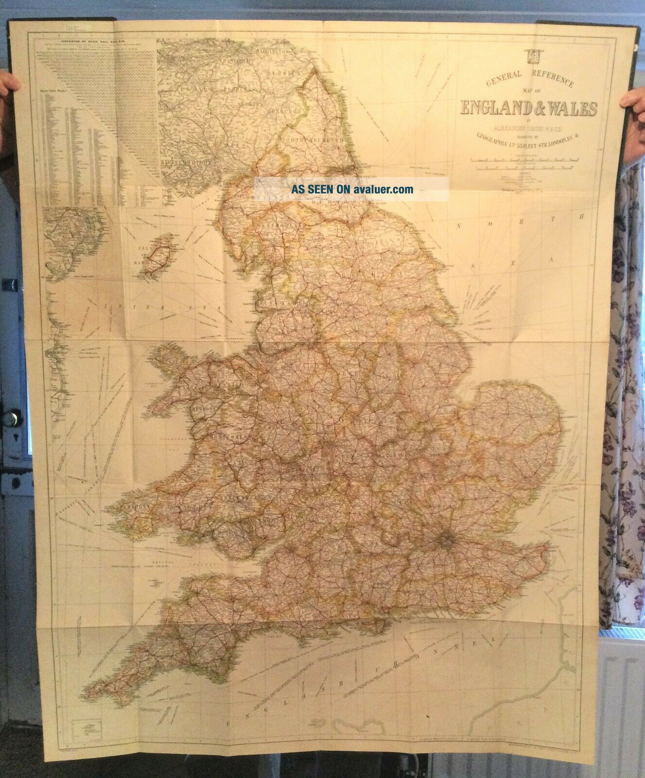
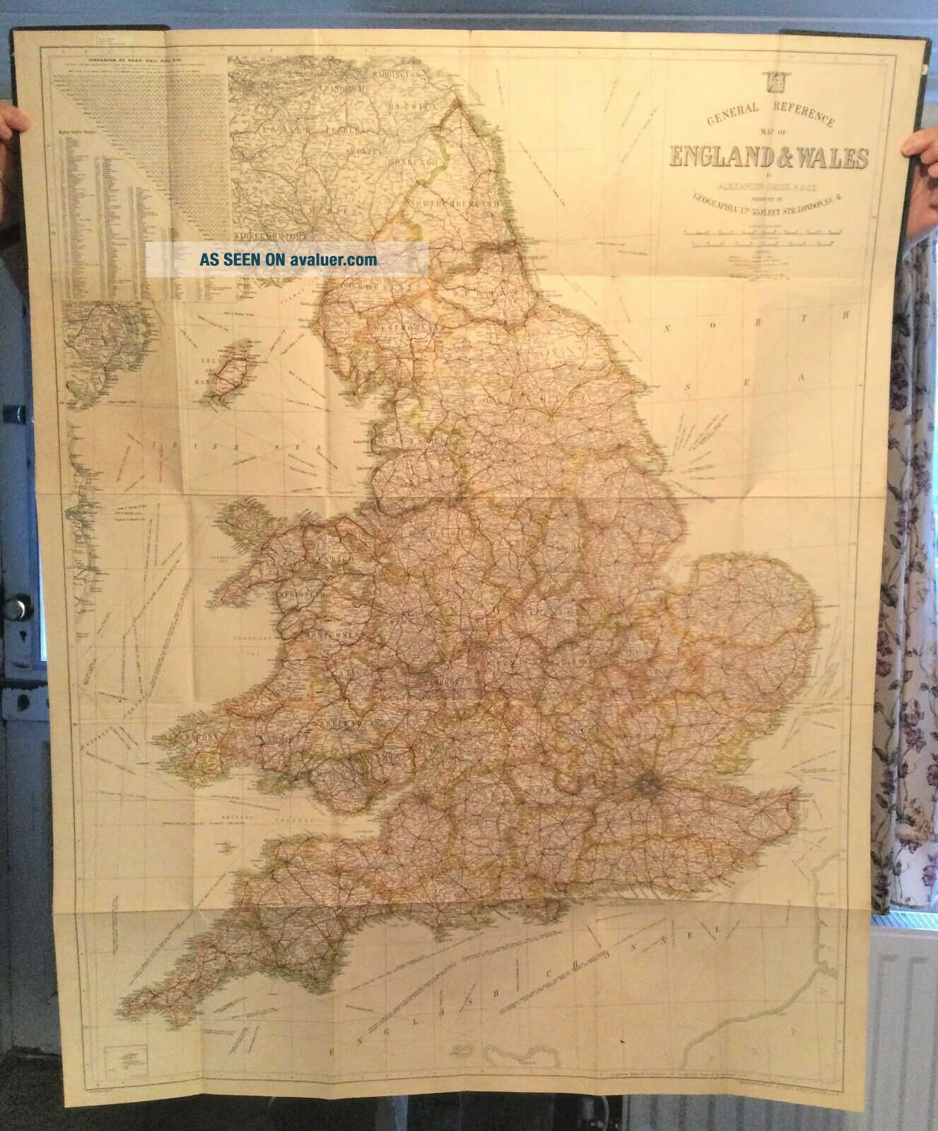
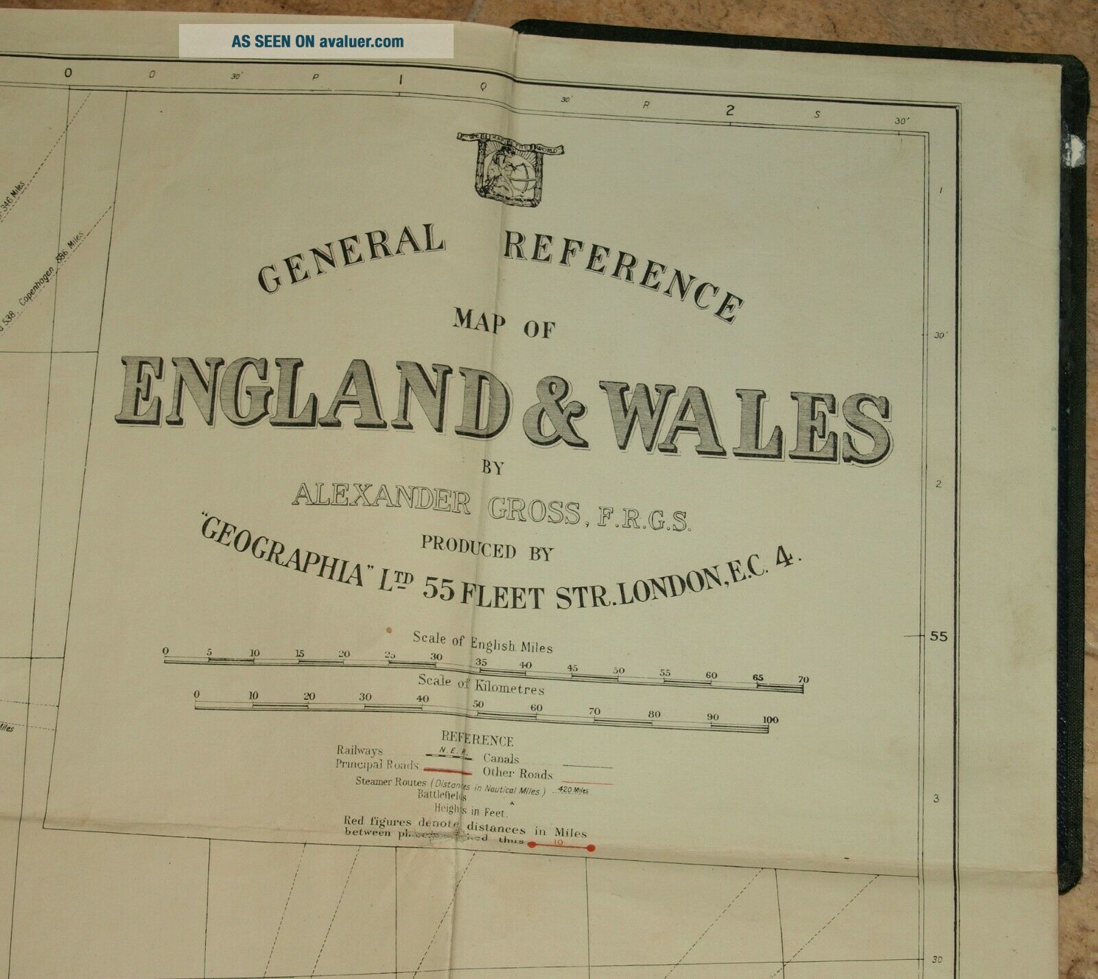
LARGE EARLY C20th GEOGRAPHIA MAP OF ENGLAND & WALES Linen Back With Hard Covers


Item History & Price

Information:
Reference Number: Avaluer:48269412Cartographer/Publisher: Geographia
Antique: YesOriginal/Reproduction: Antique Original
Date Range: 1900-1920Format: Sheet Map
Country/Region: England, WalesType: Country Map
Era: 1900s
Original Description:

LARGE EARLY C20th GEOGRAPHIA MAP OF ENGLAND & WALES Linen back with hard covers
Large linen backed folding map with hard covers.
When closed the map measures seven inches by ten inches.
The map measures 38.5 inches by 49 inches.
The map is in good condition. The front covers have some water stains.
It dates from the early years of the 20th century. The lack of a mention of Letchworth Garden City makes it likely it is pre WWI.
POSTAGE
UK P & P ..... Seco...nd Class .... £2.35
Signed-For ..... £3.35


    Similar items


  • Stunning Early Finely Embroidered Map Of England & Wales 1795 Extremely Rare

    Stunning Early Finely Embroidered Map Of England & Wales 1795 Extremely Rare

  • Large Vintage Linen Backed Map Of England And Wales

    Large Vintage Linen Backed Map Of England And Wales

  • Early 19th Century " Map Of England & Wales Sampler " By Ann Vernon - 1827

    Early 19th Century " Map Of England & Wales Sampler " By Ann Vernon - 1827

  • Antique 1757 Bellin Early Hand Colored Map Of England Ny Pa Nj Ct Vt Nh Ri

    Antique 1757 Bellin Early Hand Colored Map Of England Ny Pa Nj Ct Vt Nh Ri

  • Vintage Geographia Map Of England & Wales (c1930s) Paper,  Folding,  Uk,  Britain

    Vintage Geographia Map Of England & Wales (c1930s) Paper, Folding, Uk, Britain

  • 1693 Alexis Jaillot Large 1st Edition Antique Map Of England & Wales

    1693 Alexis Jaillot Large 1st Edition Antique Map Of England & Wales

  • Rare Vintage Geographia Map Of England & Wales Showing Counties In Colour

    Rare Vintage Geographia Map Of England & Wales Showing Counties In Colour

  • Rare Vintage Cloth Geographia Map Of England & Wales Counties In Colour

    Rare Vintage Cloth Geographia Map Of England & Wales Counties In Colour


    • You might also like


    • Hungary & Romania 1579 (1584) Ortelius Unusual Antique Copper Engraved Map

      Hungary & Romania 1579 (1584) Ortelius Unusual Antique Copper Engraved Map

    • Brussels Bruxelles Belfium 1777 De Ferraris & Dupuis Large Antique Map Sheet Xxi

      Brussels Bruxelles Belfium 1777 De Ferraris & Dupuis Large Antique Map Sheet Xxi

    • 1616 Atlas Map Of Iceland.

      1616 Atlas Map Of Iceland.

    • Kazan Russia 1767 Le Clerc/lespinasse Antique Copper Engraved City View

      Kazan Russia 1767 Le Clerc/lespinasse Antique Copper Engraved City View

    • 1899 Stanford,  Folding Map Of Norwich,  Norfolk,  Arthur Collins,  Jarrold & Sons,

      1899 Stanford, Folding Map Of Norwich, Norfolk, Arthur Collins, Jarrold & Sons,

    • 1948 Vintage Linen Colour Map Geological Survey Ten Mile Of Great Britain

      1948 Vintage Linen Colour Map Geological Survey Ten Mile Of Great Britain

    • 1944 Map Flying Bombs Sussex Ww2 Newspaper Military Kent Courier German V1 V2

      1944 Map Flying Bombs Sussex Ww2 Newspaper Military Kent Courier German V1 V2

    • Dated 1638 Vellum Map Of Icklesham Sussex Showing Land Uses Owners Etc

      Dated 1638 Vellum Map Of Icklesham Sussex Showing Land Uses Owners Etc

Avaluer          About Us          Privacy Policy          Contact Us          UP
© 2022, avaluer.net, Inc. or its affiliates