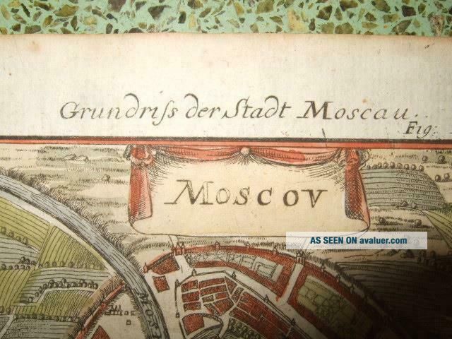
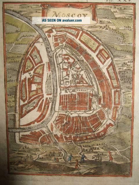
1686, MAP/PLAN OF MOSCOW, KREMLIN, RUSSIA, MOSKVA, KITAY - GOROD, RED SQUARE, ST BASIL ' S

Item History & Price
1686, MAP/PLAN OF MOSCOW, KREMLIN, RUSSIA, MOSKVA, KITAY-GOROD, RED SQUARE, ST BASIL'S

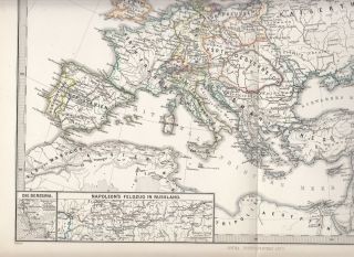
Spruner - Menke Map. Europe In The Time Of Napoleon I 1810 Plan Of Moscow
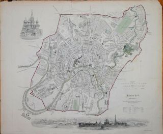
A Plan Of Moscow For The Sduk, Published 1836.

Vintage Illustrated Map Of Moscow 1969 Panoramic Plan Of Moscow.
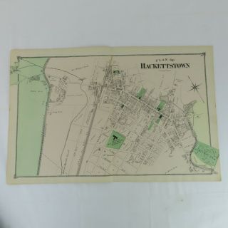
1874 Map Plan Of Hackettstown, Nj F. W. Beers Warren County 2 Page
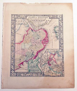
Mitchell ' S Antique Map " Plan Of Boston " 1860 Detailed
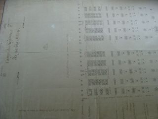
1780s ?? Map / Plan Of Swiss Guards Barracks France - Pre - Revolution
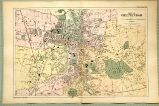
1895 Map Plan Of Cheltenham Winter Garden Charlton Park Stations Alstone College
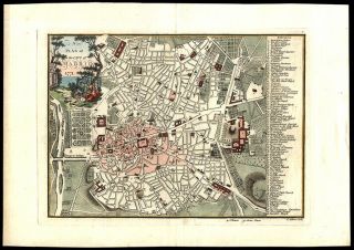
1771 John Andrews Map Plan Of The City Of Madrid Hand Colored Engraving London

Hungary & Romania 1579 (1584) Ortelius Unusual Antique Copper Engraved Map

Brussels Bruxelles Belfium 1777 De Ferraris & Dupuis Large Antique Map Sheet Xxi

1616 Atlas Map Of Iceland.

Kazan Russia 1767 Le Clerc/lespinasse Antique Copper Engraved City View

1899 Stanford, Folding Map Of Norwich, Norfolk, Arthur Collins, Jarrold & Sons,

1948 Vintage Linen Colour Map Geological Survey Ten Mile Of Great Britain

1944 Map Flying Bombs Sussex Ww2 Newspaper Military Kent Courier German V1 V2

Dated 1638 Vellum Map Of Icklesham Sussex Showing Land Uses Owners Etc