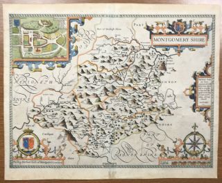
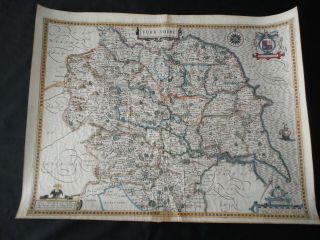
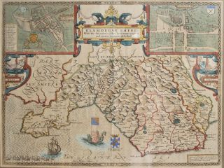
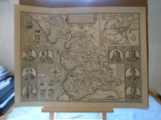
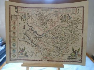
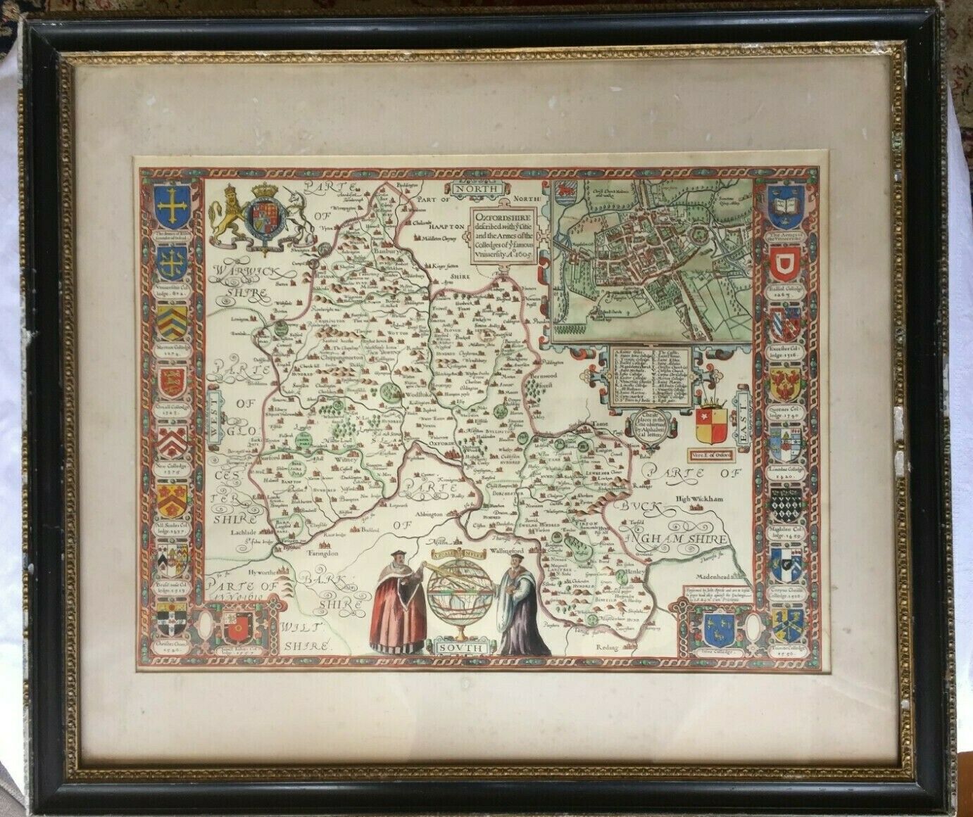
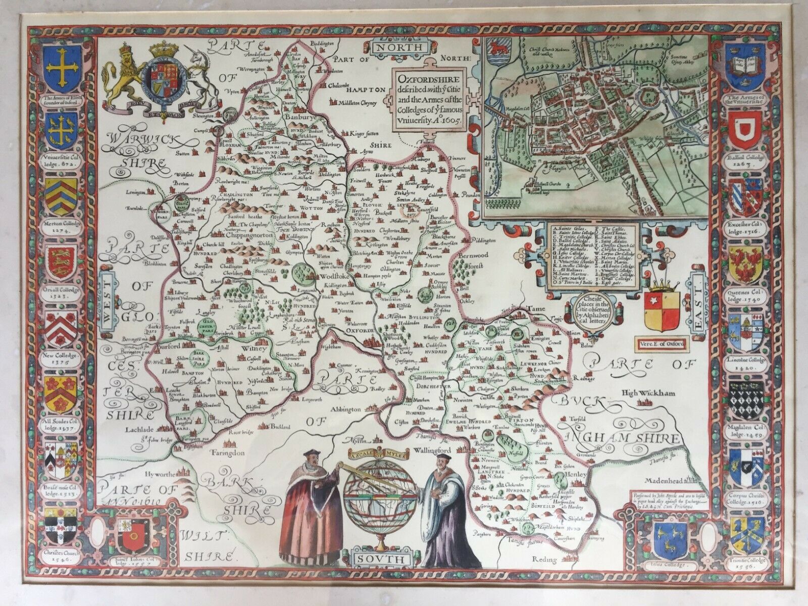
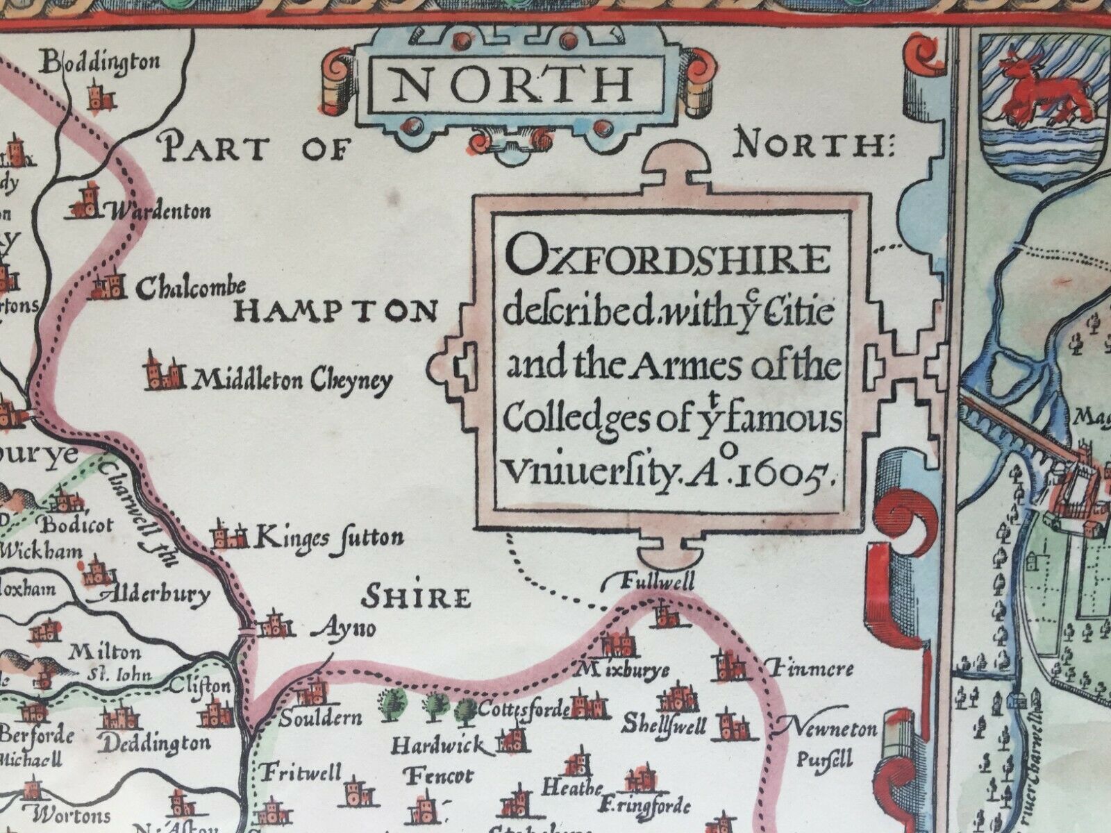
Antique Map JOHN SPEEDE (1552 - 1629) “Oxfordshire / Oxford Colleges "


Item History & Price

Information:
Reference Number: Avaluer:15678857County: Oxfordshire
Type: City MapCartographer/Publisher: John Speede
Year: 1605Original/Reproduction: Antique Original
City: Oxford
Original Description:
An antique hand coloured reproduction (not a modern print) of a John Speede (1552-1629) map of Oxfordshire with the coats of arms of the Oxford colleges . The map is formally titled “Oxfordshire described withey Citie and the Armes of the colledges of ty famous university ao 1605”In addition to the larger map of Oxfordshire, there is a feature panel detailing the specific environs of the colleges.It features the coats of arms of: Elred founder of Oxford, University College, Merton,... Oriel, New College, All Souls, Brasenose, Christ’s, Balliol, Queens’s, Lincoln, Exeter, Magdalen, Corpus Christi, St John’s, Jesus, and Trinity.It is presented mounted behind glass in an ebonised and gilt frameThe map is in outstanding condition with all colours bright, no foxing, fading or damp staining. There is some age-related staining to the mount and the frame is shown with age related wear.The frame measures 70cm(w) x 61cm(h) and the map 52cm x 38cmI have quoted postage including the frame and the glass but my preference would be to ship without the glass to avoid the risk of breakage and damage to the map, however, I'll be guided by the winning bidder.


    Similar items


  • Antique Map John Speed 1610 Montgomeryshire 400 Years Old

    Antique Map John Speed 1610 Montgomeryshire 400 Years Old

  • Antique Map John Speede C1610 “cambridgeshire & Arms Of Princes "

    Antique Map John Speede C1610 “cambridgeshire & Arms Of Princes "

  • Antique Map John Speede Suffolke Suffolk 1610

    Antique Map John Speede Suffolke Suffolk 1610

  • Antique Map John Speed 1627 Cantii,  Surriae,  Middlefexiae

    Antique Map John Speed 1627 Cantii, Surriae, Middlefexiae

  • C.  1600 Antique Yorkshire Map John Speed.

    C. 1600 Antique Yorkshire Map John Speed.

  • Antique C17th John Speede Map,  Wales,  Cardiff,  Glamorganshire 1610,  Dual Aspect

    Antique C17th John Speede Map, Wales, Cardiff, Glamorganshire 1610, Dual Aspect

  • Vintage Hand Coloured Map John Speede County Palatine Of Lancaster

    Vintage Hand Coloured Map John Speede County Palatine Of Lancaster

  • Vintage Hand Coloured Map John Speede County Palatine Of Chester

    Vintage Hand Coloured Map John Speede County Palatine Of Chester


    • You might also like


    • Hungary & Romania 1579 (1584) Ortelius Unusual Antique Copper Engraved Map

      Hungary & Romania 1579 (1584) Ortelius Unusual Antique Copper Engraved Map

    • Brussels Bruxelles Belfium 1777 De Ferraris & Dupuis Large Antique Map Sheet Xxi

      Brussels Bruxelles Belfium 1777 De Ferraris & Dupuis Large Antique Map Sheet Xxi

    • 1616 Atlas Map Of Iceland.

      1616 Atlas Map Of Iceland.

    • Kazan Russia 1767 Le Clerc/lespinasse Antique Copper Engraved City View

      Kazan Russia 1767 Le Clerc/lespinasse Antique Copper Engraved City View

    • 1899 Stanford,  Folding Map Of Norwich,  Norfolk,  Arthur Collins,  Jarrold & Sons,

      1899 Stanford, Folding Map Of Norwich, Norfolk, Arthur Collins, Jarrold & Sons,

    • 1948 Vintage Linen Colour Map Geological Survey Ten Mile Of Great Britain

      1948 Vintage Linen Colour Map Geological Survey Ten Mile Of Great Britain

    • 1944 Map Flying Bombs Sussex Ww2 Newspaper Military Kent Courier German V1 V2

      1944 Map Flying Bombs Sussex Ww2 Newspaper Military Kent Courier German V1 V2

    • Dated 1638 Vellum Map Of Icklesham Sussex Showing Land Uses Owners Etc

      Dated 1638 Vellum Map Of Icklesham Sussex Showing Land Uses Owners Etc

Avaluer          About Us          Privacy Policy          Contact Us          UP
© 2022, avaluer.net, Inc. or its affiliates