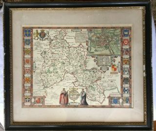
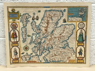
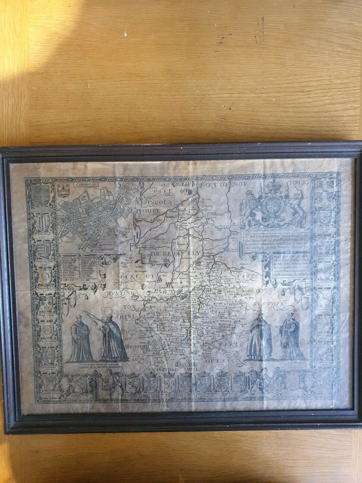
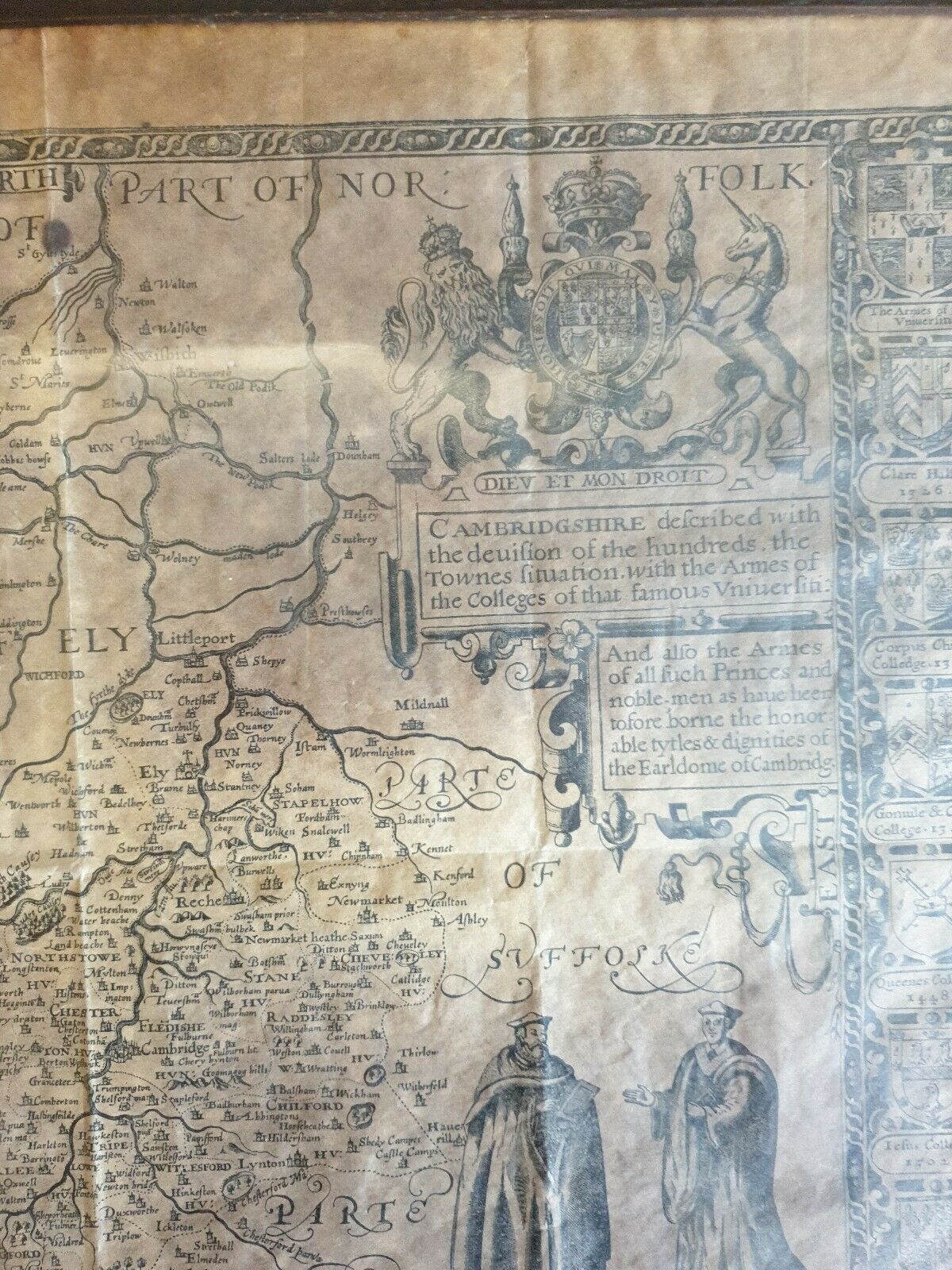
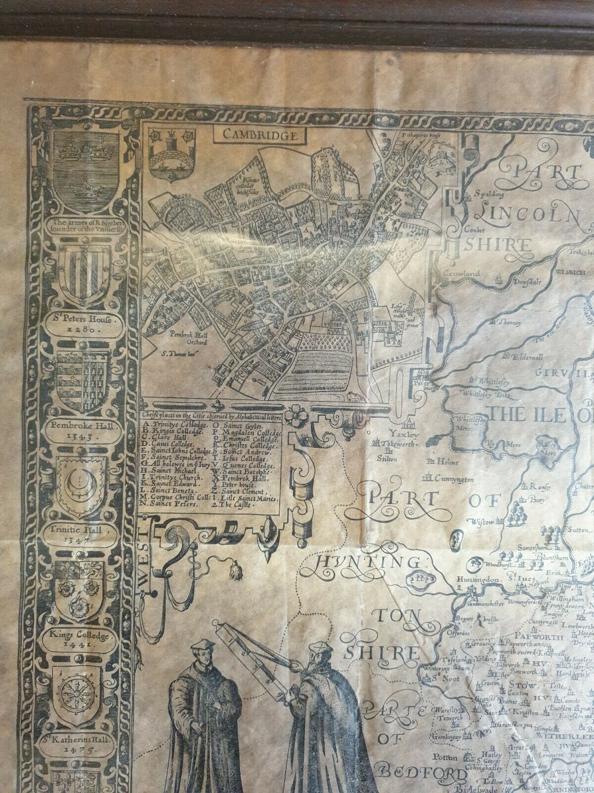
Antique Map JOHN SPEEDE C1610 “Cambridgeshire & Arms Of Princes "


Item History & Price
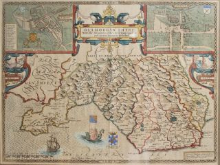
Information:
Reference Number: Avaluer:15713681Year: 1605
Type: City MapCounty: Oxfordshire
Original/Reproduction: Antique OriginalCartographer/Publisher: John Speede
City: Oxford
Original Description:
Antique Map JOHN SPEEDE c1610 “Cambridgeshire & Arms of Princes" .

This is in excellent condition..I do not believe this to be an original but on old replica on Parchment.Framr has some marks.

Approx size 53cm x 41cm


    Similar items


  • Antique Map John Speede (1552 - 1629) “oxfordshire / Oxford Colleges "

    Antique Map John Speede (1552 - 1629) “oxfordshire / Oxford Colleges "

  • Antique Map John Speed 1610 Montgomeryshire 400 Years Old

    Antique Map John Speed 1610 Montgomeryshire 400 Years Old

  • Antique Map John Speede Suffolke Suffolk 1610

    Antique Map John Speede Suffolke Suffolk 1610

  • Antique Map John Speed 1627 Cantii,  Surriae,  Middlefexiae

    Antique Map John Speed 1627 Cantii, Surriae, Middlefexiae

  • Scotland Map By John Speed C1610 Vgc Hand Coloured

    Scotland Map By John Speed C1610 Vgc Hand Coloured

  • Ireland Map By John Speed C1610 Vgc Hand Coloured

    Ireland Map By John Speed C1610 Vgc Hand Coloured

  • C.  1600 Antique Yorkshire Map John Speed.

    C. 1600 Antique Yorkshire Map John Speed.

  • Antique C17th John Speede Map,  Wales,  Cardiff,  Glamorganshire 1610,  Dual Aspect

    Antique C17th John Speede Map, Wales, Cardiff, Glamorganshire 1610, Dual Aspect


    • You might also like


    • Hungary & Romania 1579 (1584) Ortelius Unusual Antique Copper Engraved Map

      Hungary & Romania 1579 (1584) Ortelius Unusual Antique Copper Engraved Map

    • Brussels Bruxelles Belfium 1777 De Ferraris & Dupuis Large Antique Map Sheet Xxi

      Brussels Bruxelles Belfium 1777 De Ferraris & Dupuis Large Antique Map Sheet Xxi

    • 1616 Atlas Map Of Iceland.

      1616 Atlas Map Of Iceland.

    • Kazan Russia 1767 Le Clerc/lespinasse Antique Copper Engraved City View

      Kazan Russia 1767 Le Clerc/lespinasse Antique Copper Engraved City View

    • 1899 Stanford,  Folding Map Of Norwich,  Norfolk,  Arthur Collins,  Jarrold & Sons,

      1899 Stanford, Folding Map Of Norwich, Norfolk, Arthur Collins, Jarrold & Sons,

    • 1948 Vintage Linen Colour Map Geological Survey Ten Mile Of Great Britain

      1948 Vintage Linen Colour Map Geological Survey Ten Mile Of Great Britain

    • 1944 Map Flying Bombs Sussex Ww2 Newspaper Military Kent Courier German V1 V2

      1944 Map Flying Bombs Sussex Ww2 Newspaper Military Kent Courier German V1 V2

    • Dated 1638 Vellum Map Of Icklesham Sussex Showing Land Uses Owners Etc

      Dated 1638 Vellum Map Of Icklesham Sussex Showing Land Uses Owners Etc

Avaluer          About Us          Privacy Policy          Contact Us          UP
© 2022, avaluer.net, Inc. or its affiliates