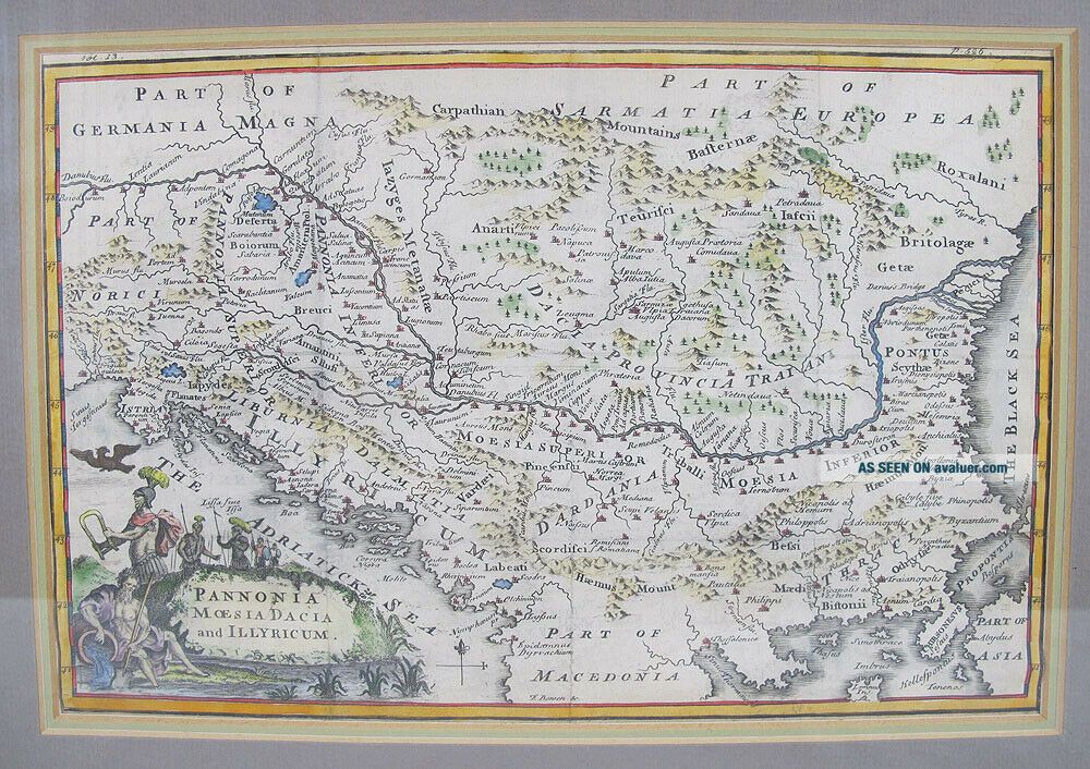
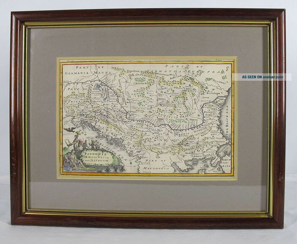
Antique 1745 E Bowen Map Pannonia Moesia Dacia Illyricum (Balkan Peninsula) Yqz

Item History & Price
| Reference Number: Avaluer:58929205 |

| Reference Number: Avaluer:58929205 |
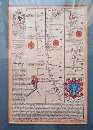
Antique 1715 E. Bowen Road Map Of Lincoln To Barton, Framed
1808 Cellarius Atlas Map Pannonia - Moesia - Illyria - Thracia - Balkans
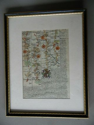
1724 The Road From Barnsley To Skipton Via Halifax. Antique H/col Bowen Map
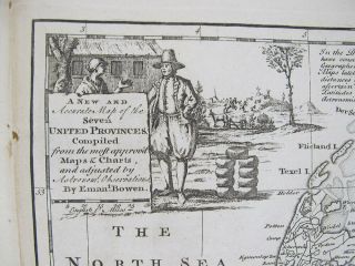
Antique 1747 Emanuel Bowen Map Seven United Dutch Provinces Nr Yqz
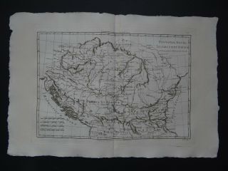
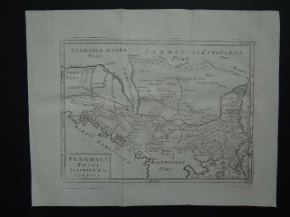
1787 Bonne Desmarest Atlas Map Pannonia - Dacia - Illyria - Moesia - Illyricum
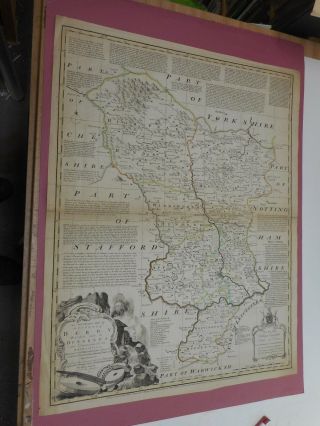
100 Large Derbyshire Map By E Bowen C1758 Vgc
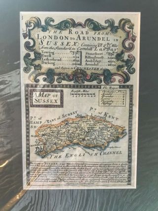
Antique Map Of Sussex E. Bowen 1720
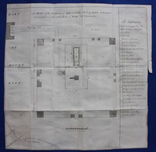
Uncommon Antique Map / Plan Temple Of Jerusalem, E. Bowen, 1747

Hungary & Romania 1579 (1584) Ortelius Unusual Antique Copper Engraved Map

Brussels Bruxelles Belfium 1777 De Ferraris & Dupuis Large Antique Map Sheet Xxi

1616 Atlas Map Of Iceland.

Kazan Russia 1767 Le Clerc/lespinasse Antique Copper Engraved City View

1899 Stanford, Folding Map Of Norwich, Norfolk, Arthur Collins, Jarrold & Sons,

1948 Vintage Linen Colour Map Geological Survey Ten Mile Of Great Britain

1944 Map Flying Bombs Sussex Ww2 Newspaper Military Kent Courier German V1 V2

Dated 1638 Vellum Map Of Icklesham Sussex Showing Land Uses Owners Etc