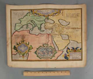
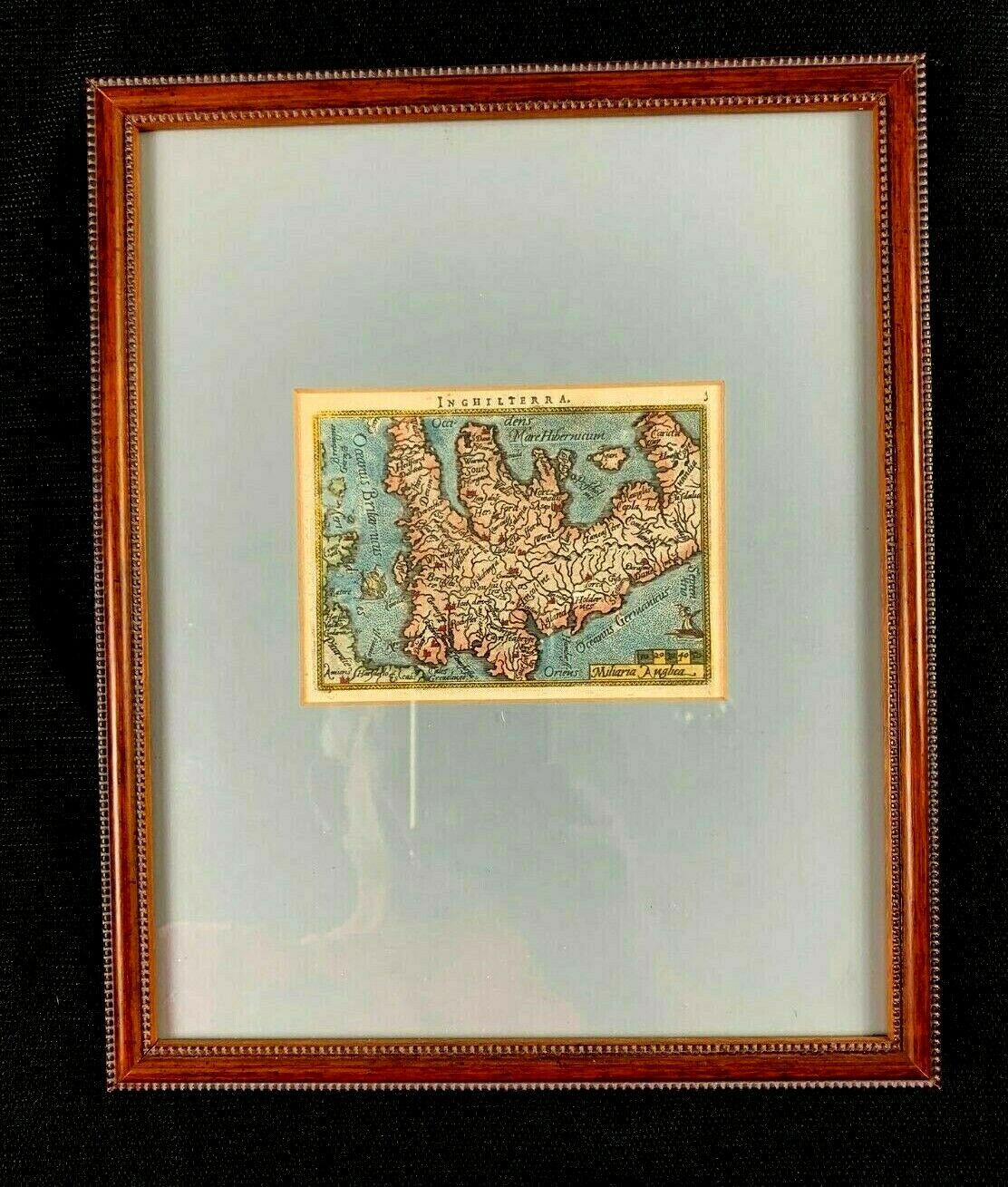
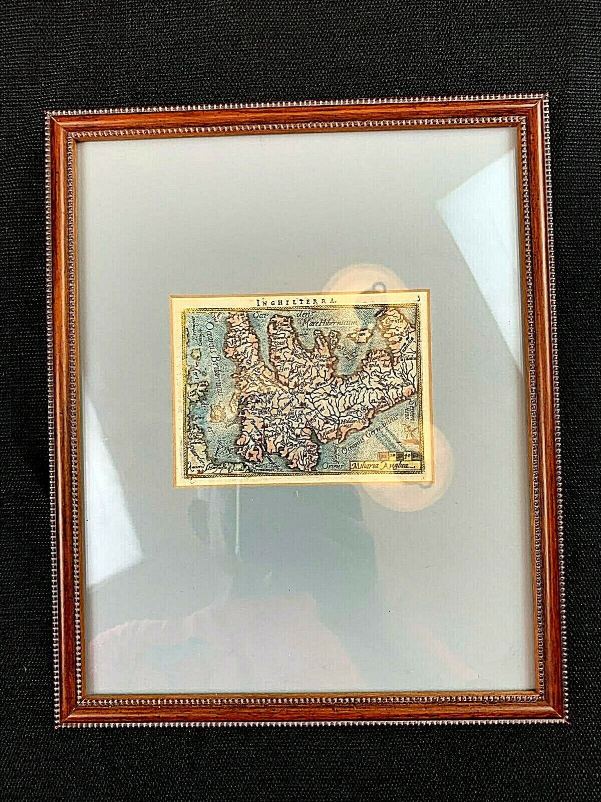
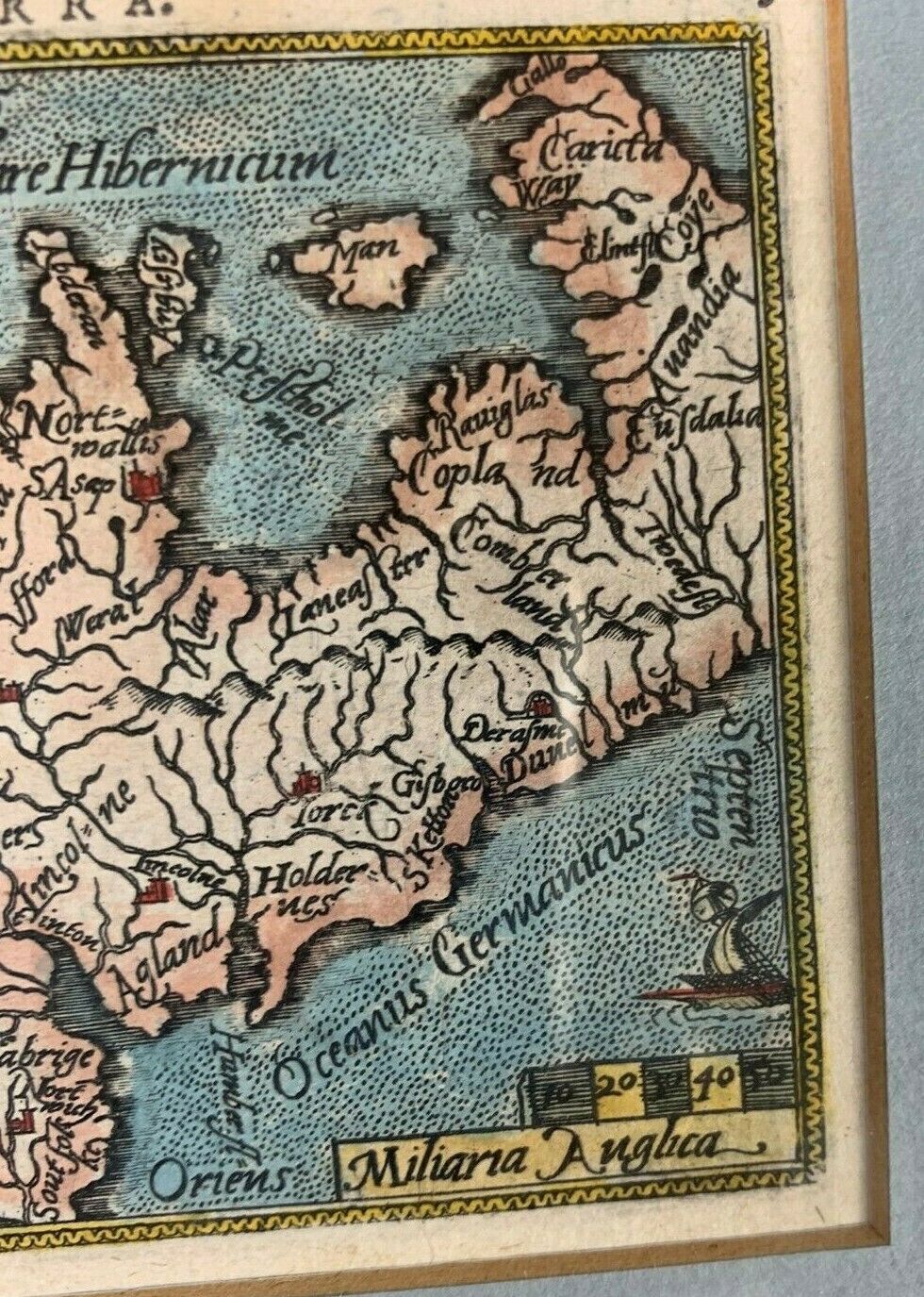
Antique Copper Engraved Hand Colored Miniature Map Of England 1592 By Ortelius
Item History & Price
| Reference Number: Avaluer:15682551 | Cartographer/Publisher: Ortelius |
| Year: 1592 | Printing Technique: Copper Plate Engraving Colored By Hand |
| Country/Region: England | Original/Reproduction: Original |
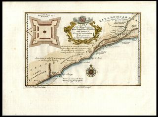
Inghilterra- Maker: Ortelius Antique Engraved map of the England (“Inghilterra”) Abraham Ortelius, 1592.Strong, clear strike, great detail of towns and cities. Original Copper Engraving. Colored by Hand. Matted and Framed*Note that North is not at the top of the map. It is at the right.4.5 x 3.5 inches. Price: $200.00 Date: 1592
The Engraver – Abraham Ortelius (1527 – 1598)In 1575 was appointed geographer to the king of Spain, Philip II. &nbs...p;He travelled extensively in Europe and is considered the creator of the 1st modern atlas. He also originated the idea of Continental Drift.
Artwork must be signed for.SHIPPING: We ship every day!This item ships anywhere in the USA via US Mail; with tracking.(Internationalbuyers: Please use the postage calculator to estimate postage fees).PAYMENT: Please pay usingPayPal . After payment is received, your item is shipped the very next businessday via US Mail. FEEDBACK: Before leaving your honest review... If you are not 100%satisfied with your purchase, please let us know before leaving anything lessthan a 5 star feedback (or BEFORE opening a case) and we'll make it rightASAP. We care and want you to be very satisfied so we can do businessagain. We strive to earn positive 5 star feedback for all items. And we willleave the same for all good buyers. Please check out our other listings at the C Suite Boutiquestore: C Suite Boutique