PANNONIA, ILLYRICUM, MOESIA, BALKANS, EUROPE Antique Map CELLARIUS 1731
Item History & Price
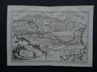
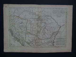
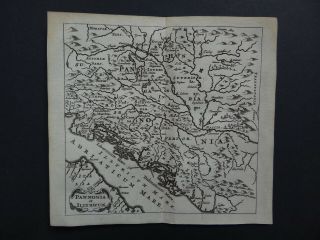
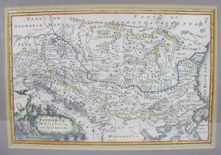
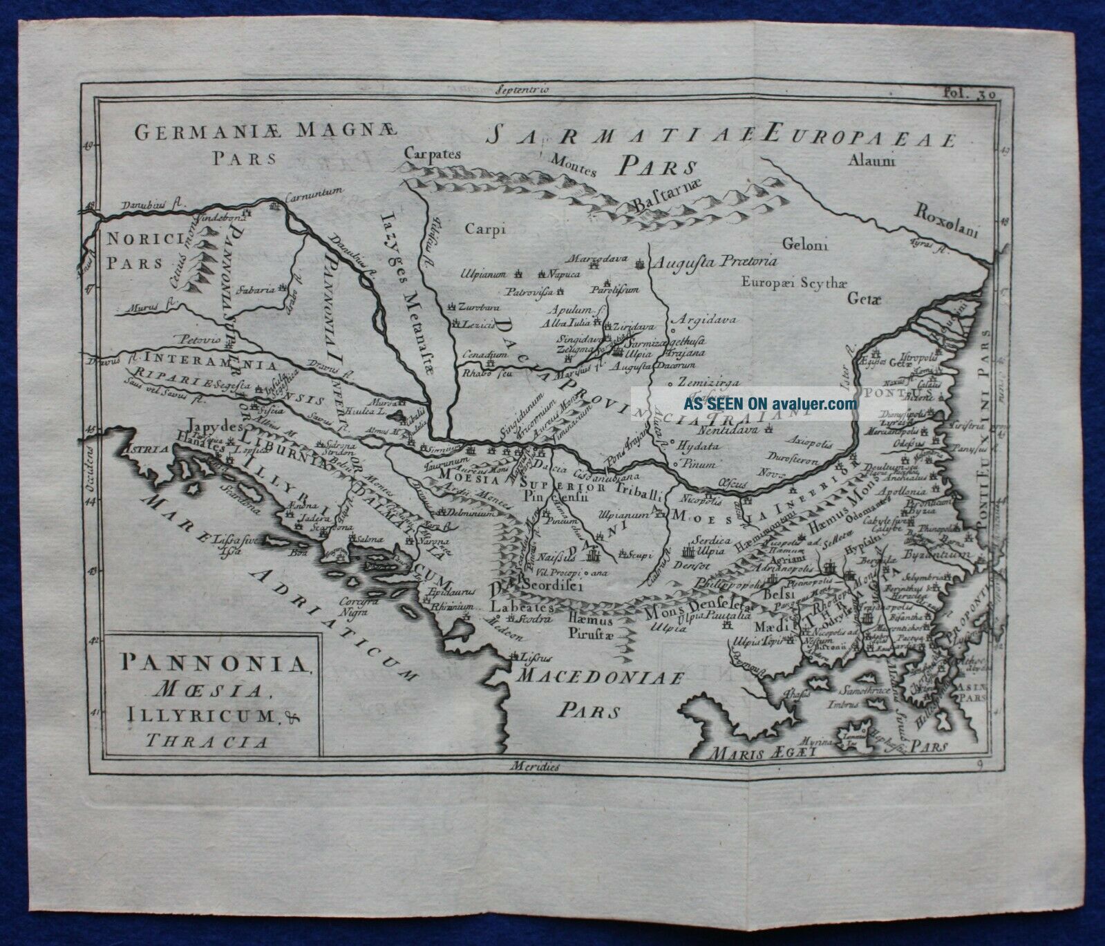
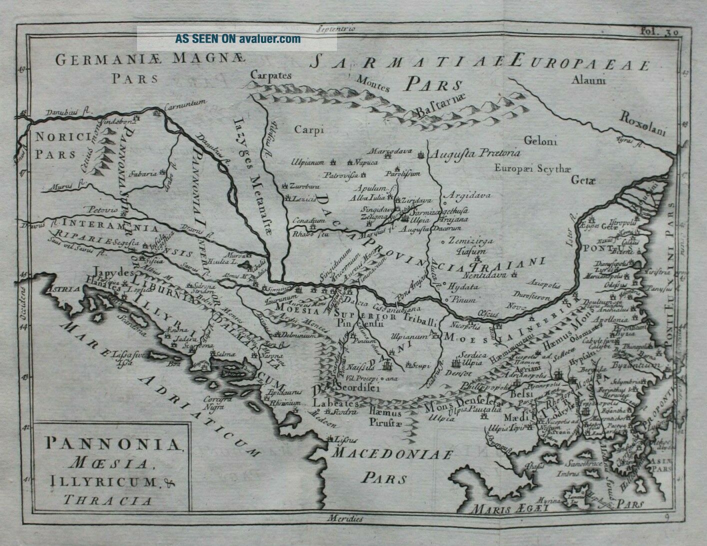
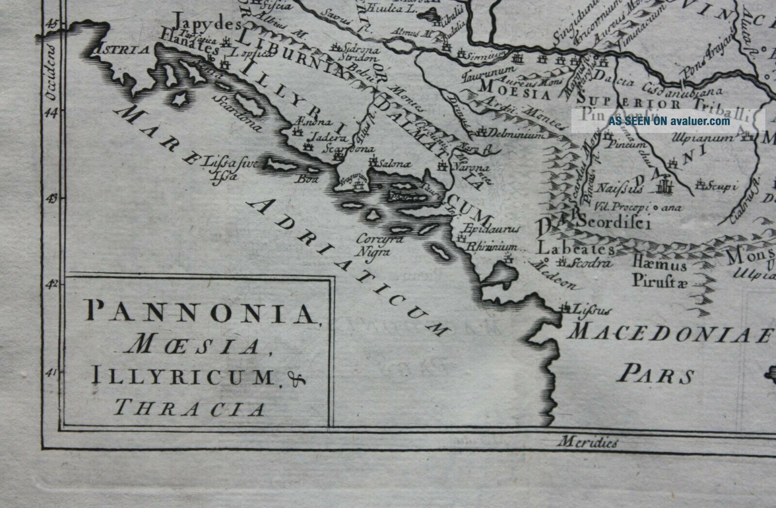
Title / Subject: 'Pannonia, Moesia, Illyricum & Thracia'
Date: 1731
Size: the printed area measures approximately 155mm x 206mm with margins beyond; blank verso.
Description: a copper-plate engraved map of much of east central and south east Europe in ancient times, featuring the ancient Roman provinces of Pannonia, Moesia, Illyricum and Thracia. It is printed on hand-laid paper with regions identified.
Cartographer / engraver: Cellarius / likely engraved by John Senex<...br>Provenance: 'Christophori Cellarii smalcaldensis Geographia Antiqua Recognita denuo, & ad veterum novorumque scriptorum fidem, historicum maxime, identidem castigata ...', published by Samuel Patrick, London, 1731
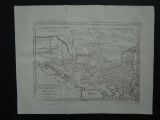
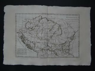
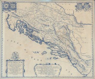
Condition: Very good condition. Light age toning. Two vertical folds, as published. Please study all the photographs carefully to fully appreciate the condition.
Ref: #05778
Date: 1731
Size: the printed area measures approximately 155mm x 206mm with margins beyond; blank verso.
Description: a copper-plate engraved map of much of east central and south east Europe in ancient times, featuring the ancient Roman provinces of Pannonia, Moesia, Illyricum and Thracia. It is printed on hand-laid paper with regions identified.
Cartographer / engraver: Cellarius / likely engraved by John Senex<...br>Provenance: 'Christophori Cellarii smalcaldensis Geographia Antiqua Recognita denuo, & ad veterum novorumque scriptorum fidem, historicum maxime, identidem castigata ...', published by Samuel Patrick, London, 1731
Condition: Very good condition. Light age toning. Two vertical folds, as published. Please study all the photographs carefully to fully appreciate the condition.
Ref: #05778